KAISARIANI
Sunday 23 November – 11am
Run: 2301
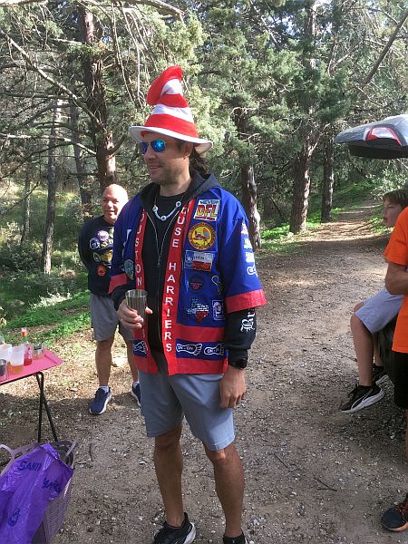
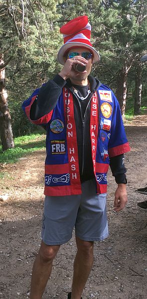
Hares: Mad Dog & TV
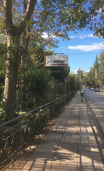
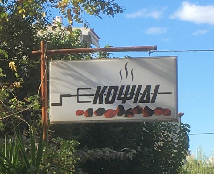
On Inn: KOPSIDI TAVERNA
Hare Mad Dog misleads the pack about his trail
RA TV jokes with his M-in-L DS
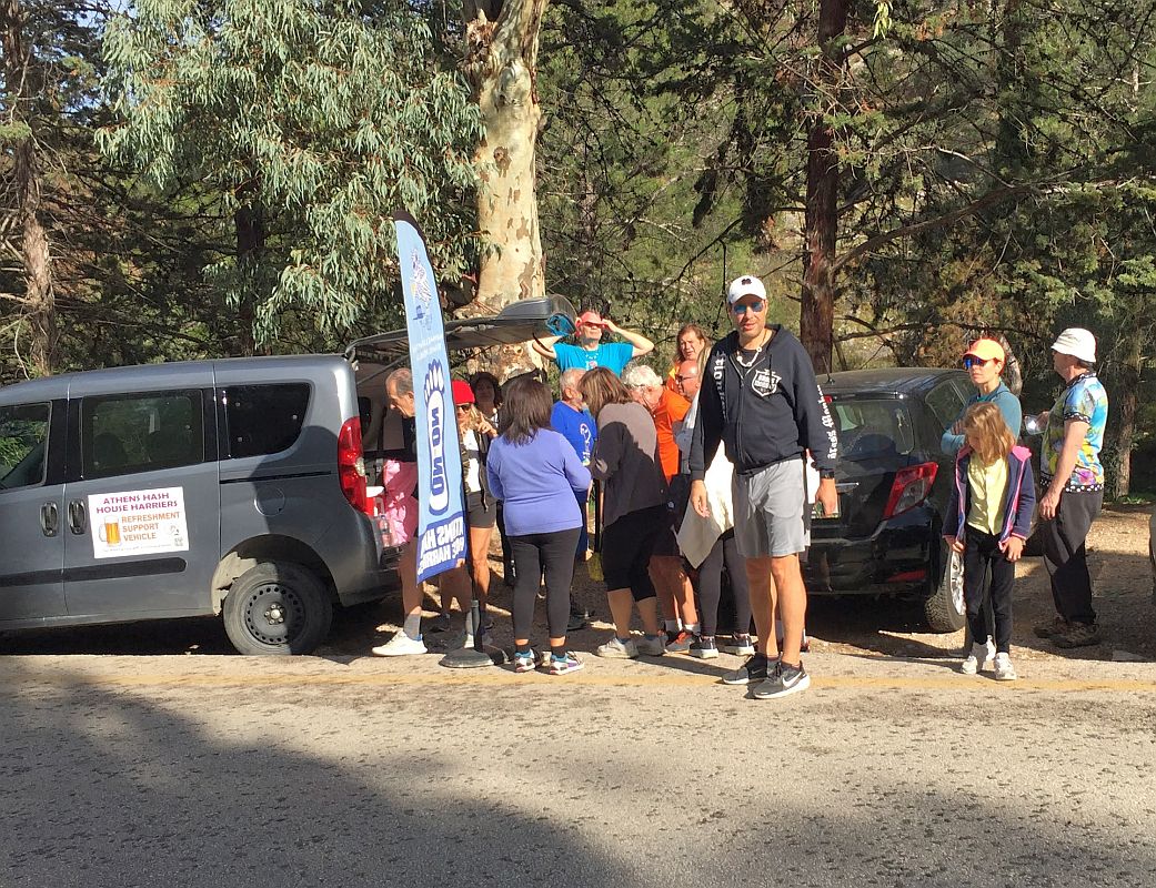
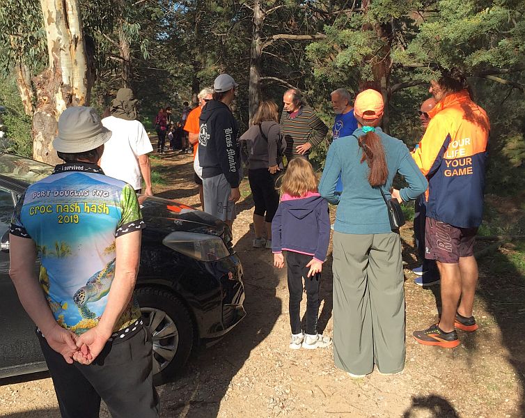
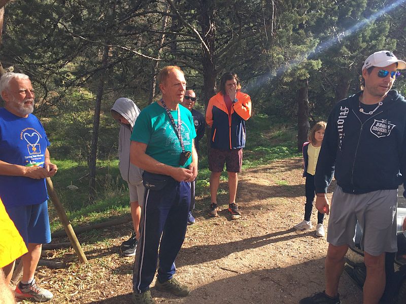
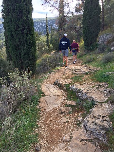
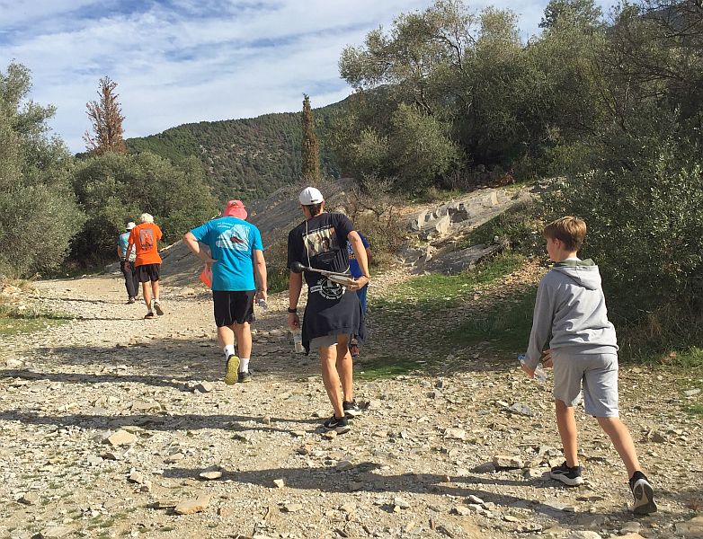
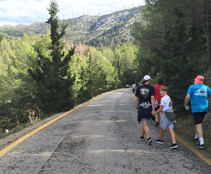
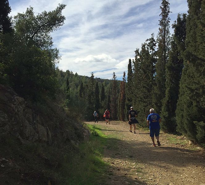
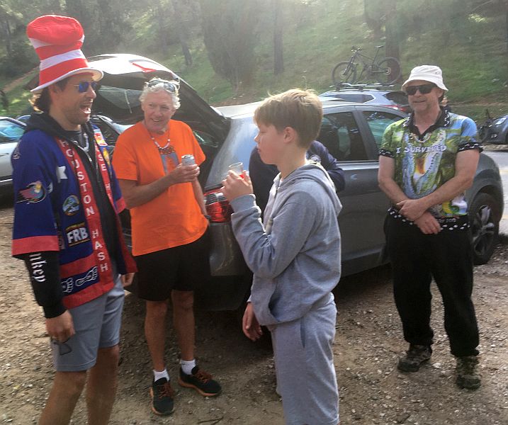
WALKERS
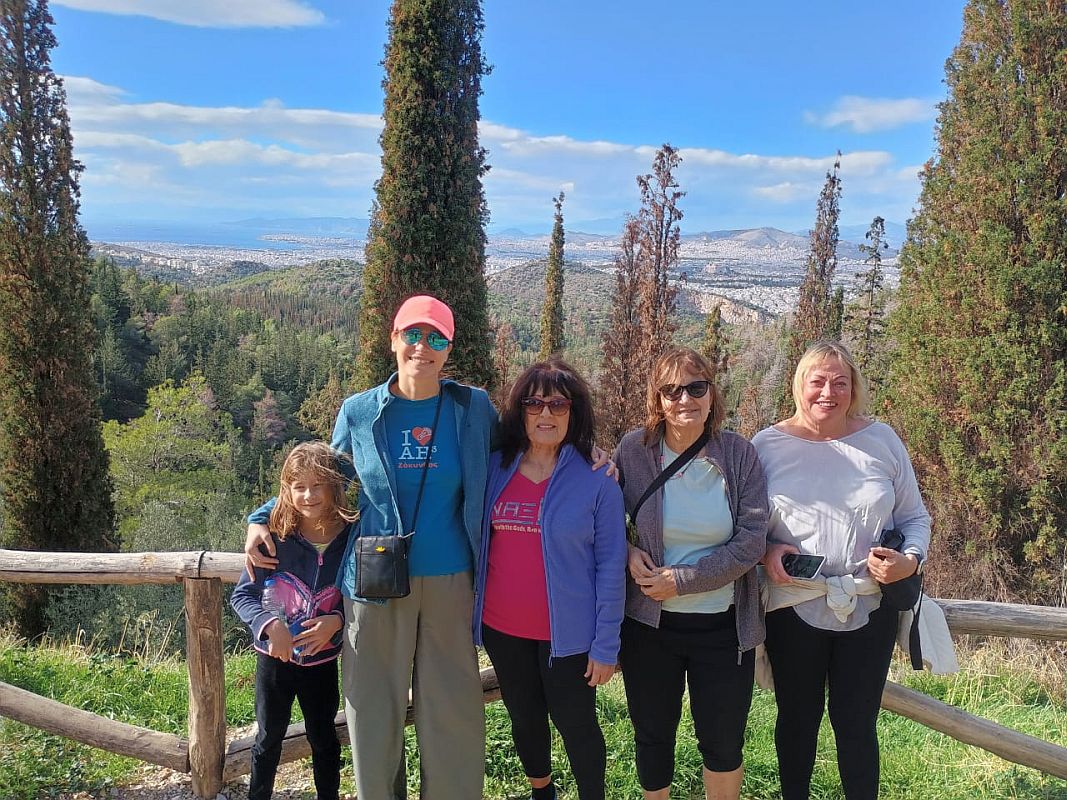
Photo taken by Shoulder Boulder
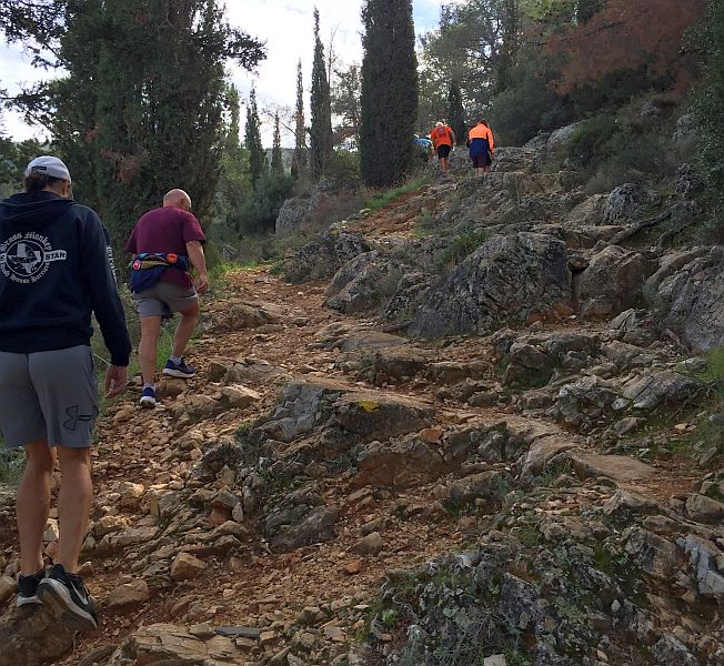
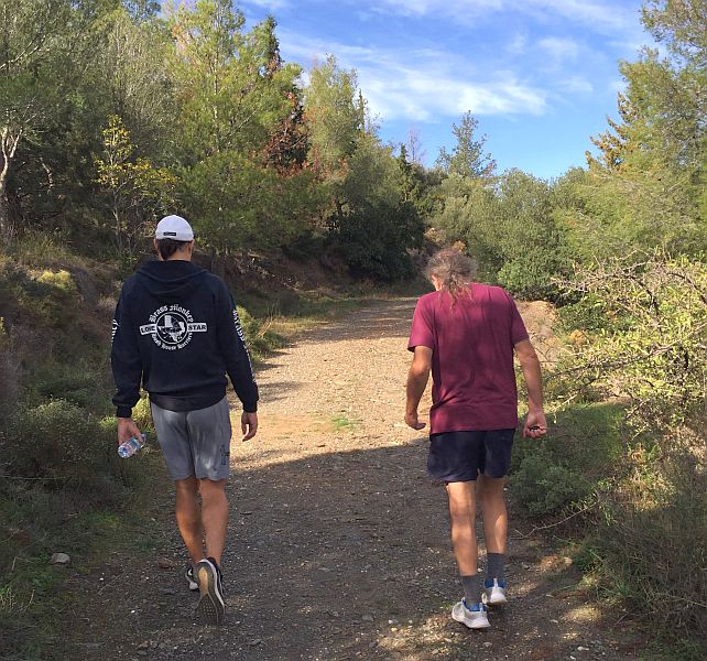
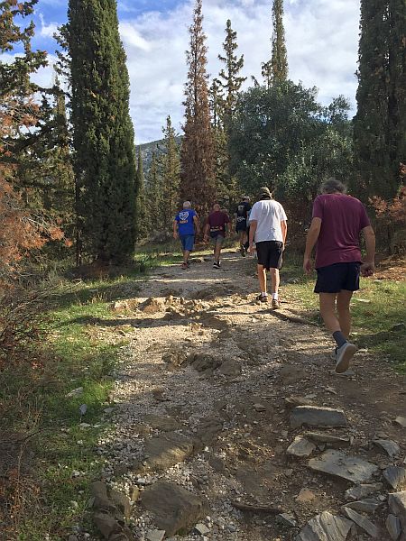
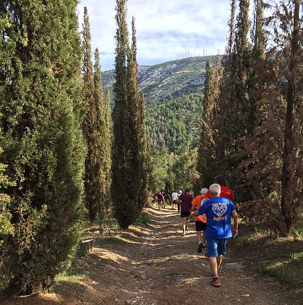
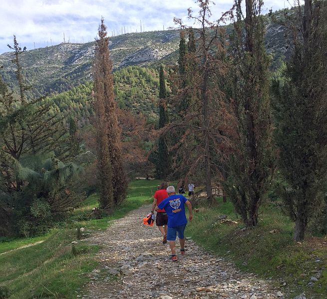
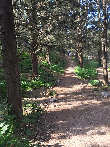
On-on! Runners
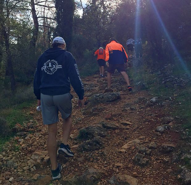
Many of the paths are embedded with rocks
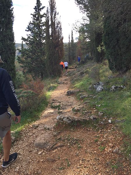
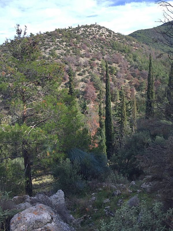
Cypress trees are common on the mountainside in this area
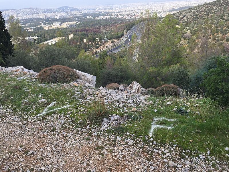
View stop (V) and Falsie (F)
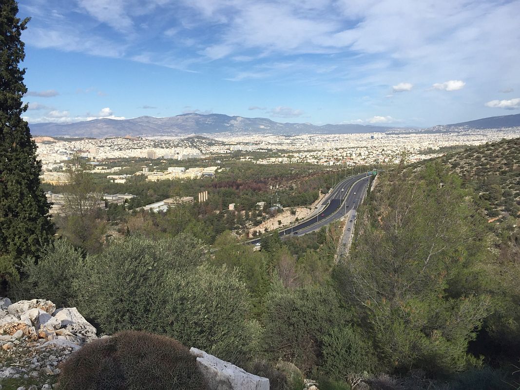
View
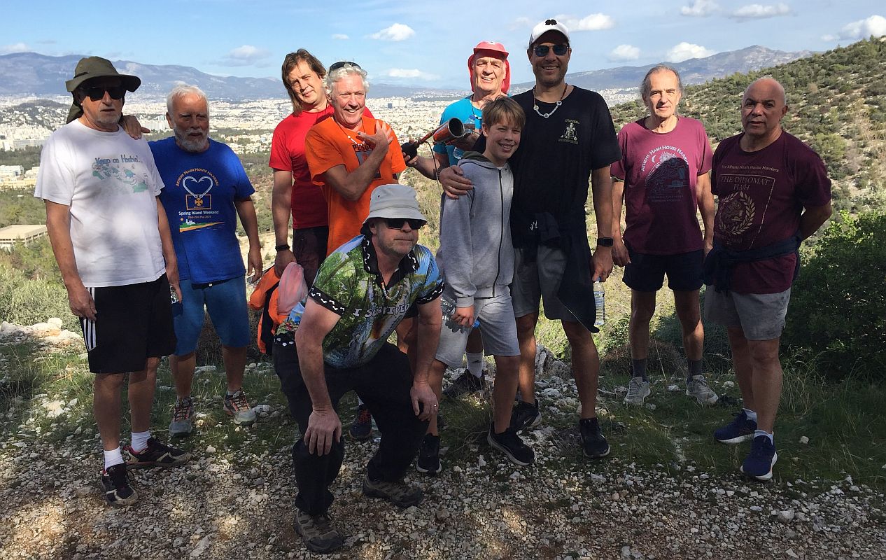
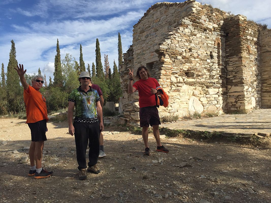
Runners pose at the view stop
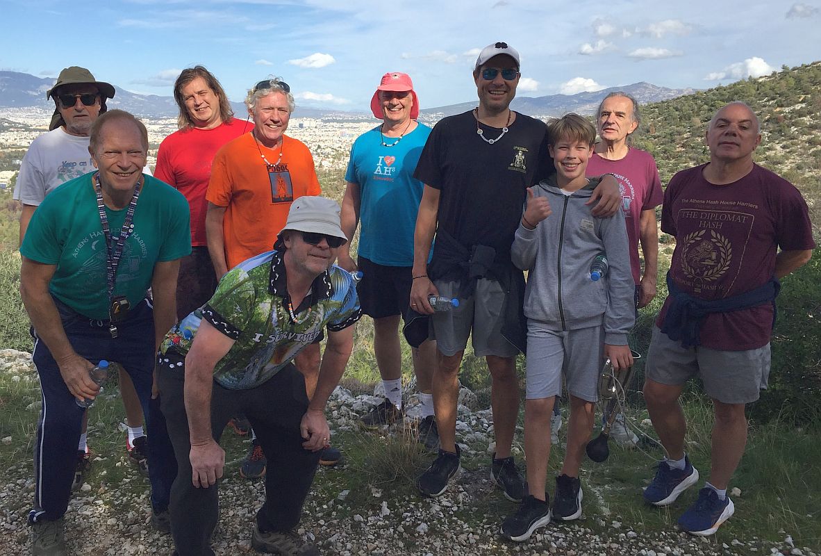
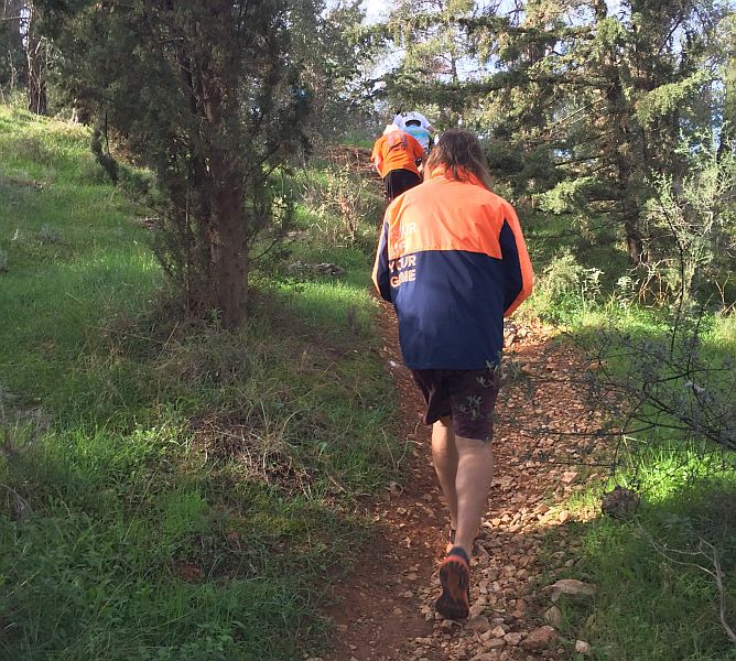
Runners with hare MD
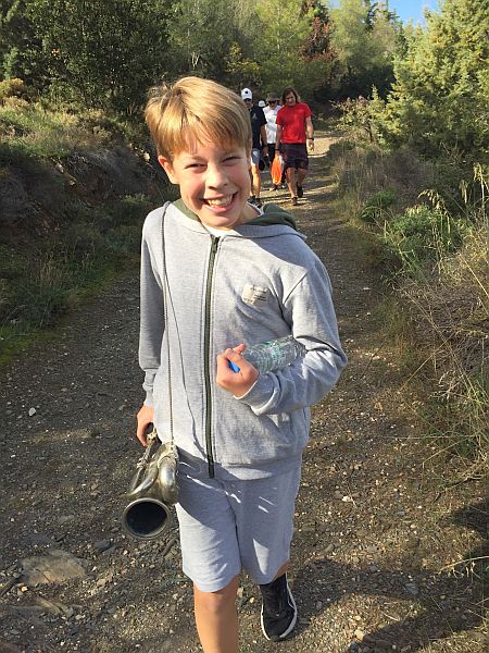
Coke Alone carrying the hash horn
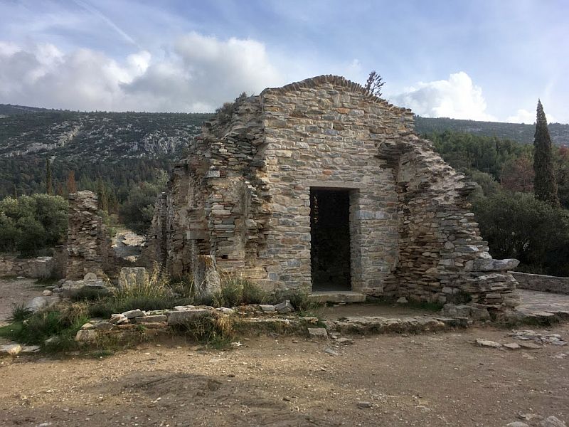
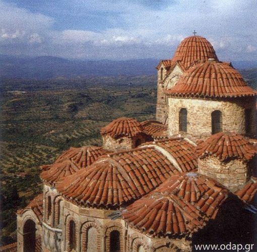
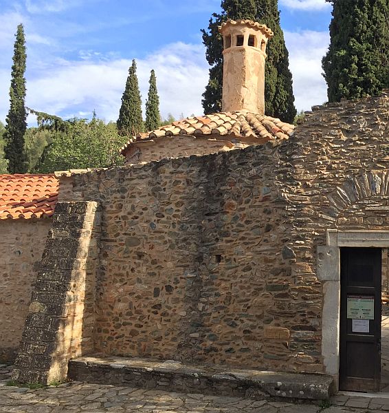
The ruins of the ancient church
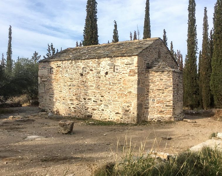
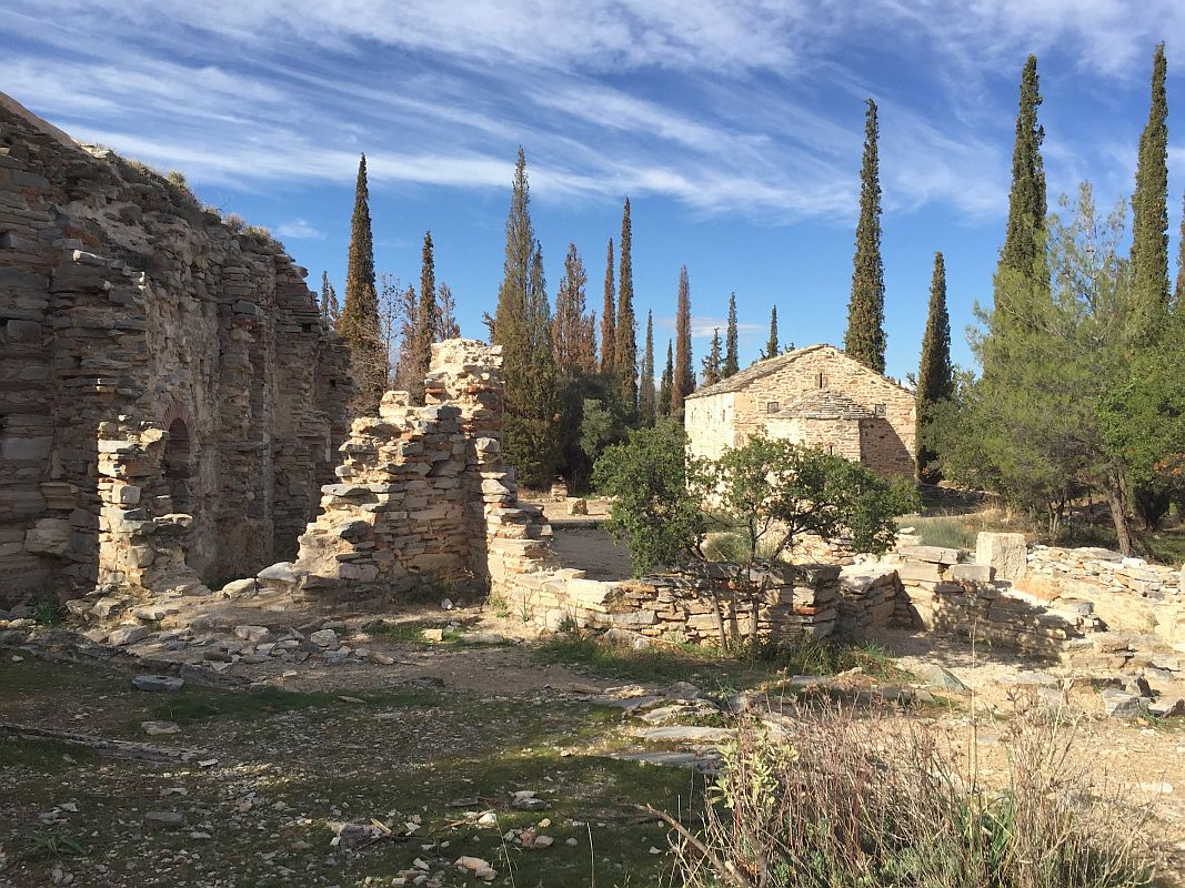
And on-down the the monastery
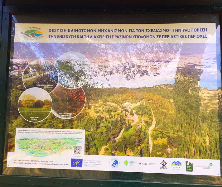
Information board
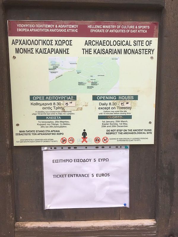
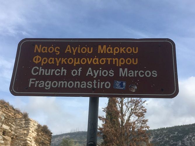
Sign on the monastery outside wall
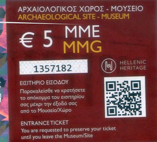
Admission ticket to the monastery
Reverse side of admission ticket
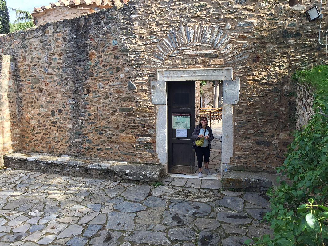
Bouboulina standing at the entrance to the monastery
Circling round the back of the monastery (a small platia)
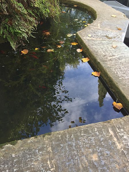
On exiting the monastery grounds - a small goldfish tank
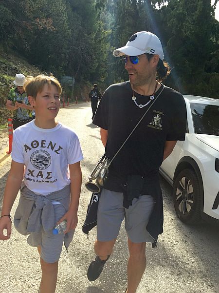
TV and son CA
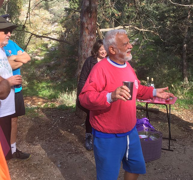
Arriving
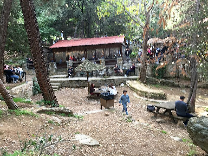
at the hiker's cafe for a beer (3 euro pp covered by hash cash)..
But the queue was too long, so headed for beer at the on-in
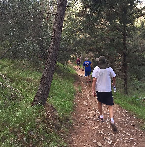
From the cafe, down into the valley and to the path back to the start
This ramp up from the main path took us to the on-in
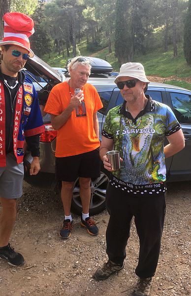
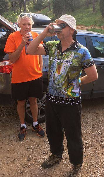
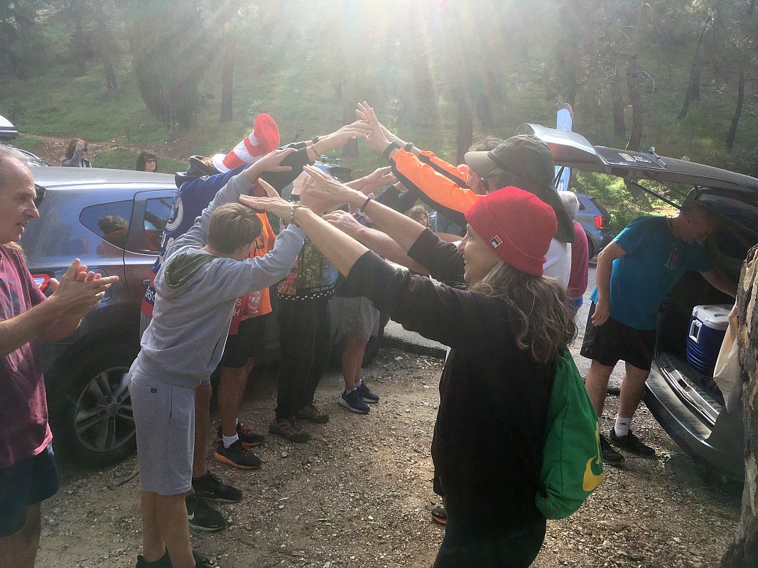
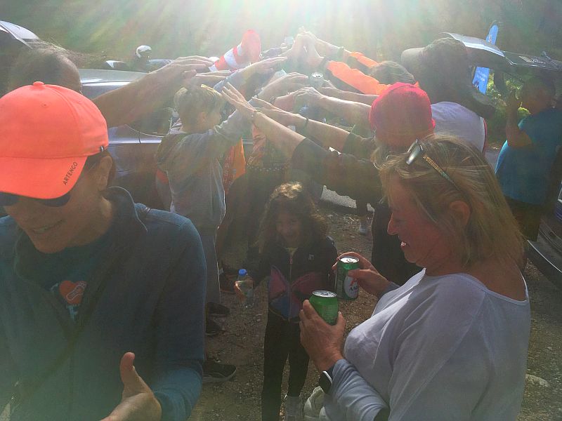
The Circle
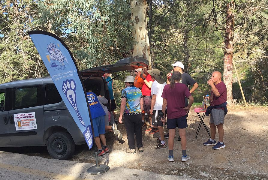
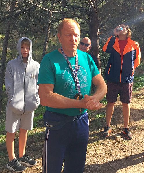
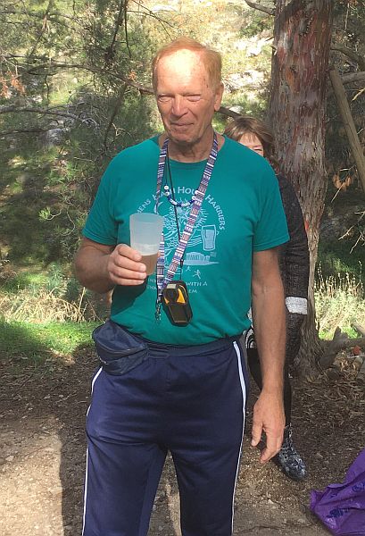
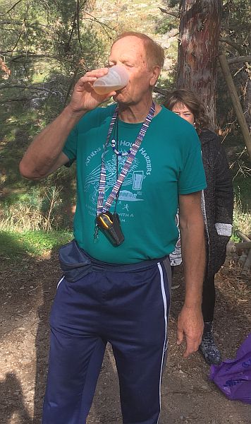
Welcome back - Mountain Goat
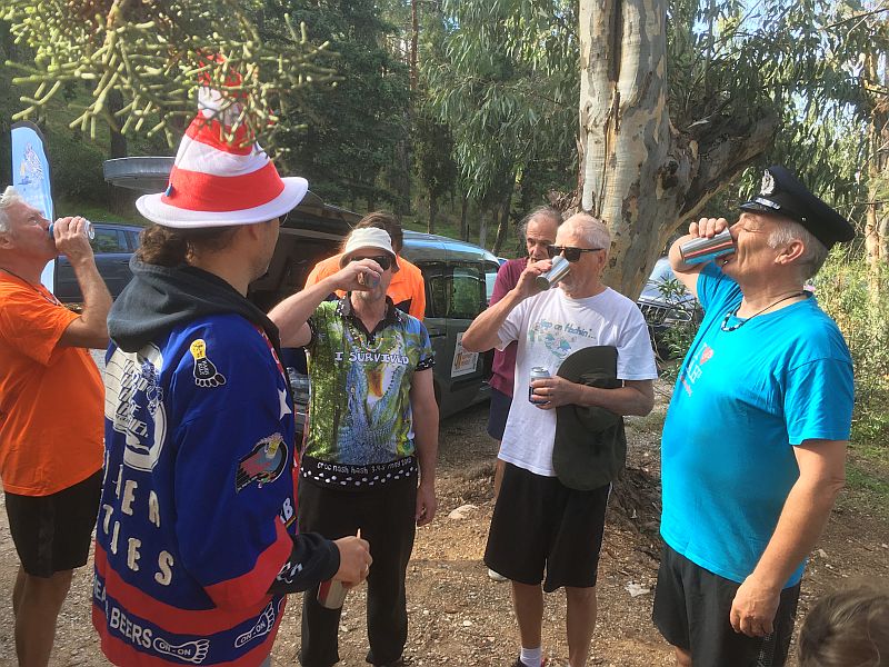
For watering the trail - JO, S4S, FC. PB drinks in sync.
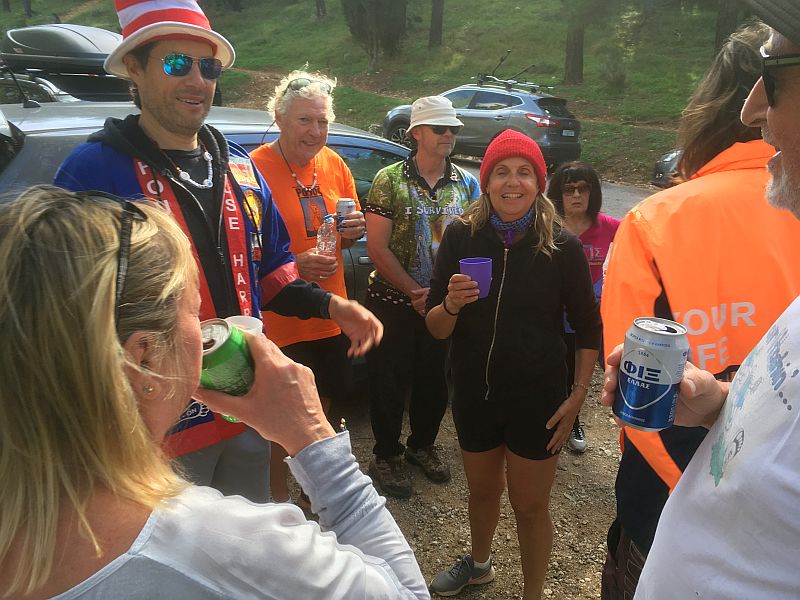
Coke Alone
Tender Vittles
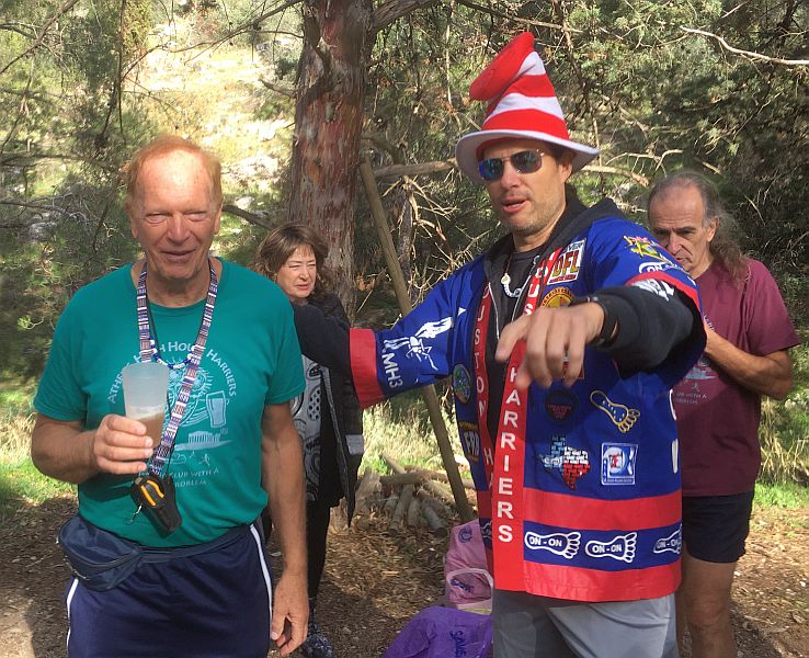
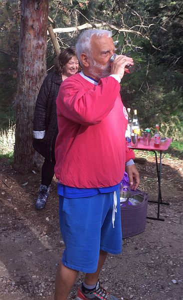
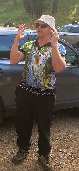
The hare - Mad Dog
Jacket Off
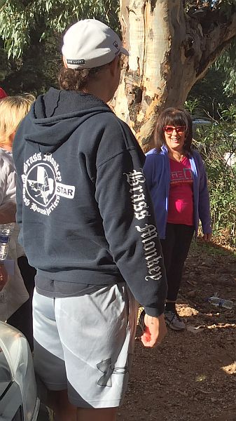
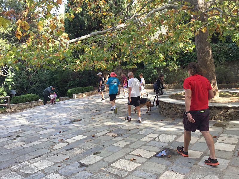
Here come the walkers. Finally. Where have they been?
Shoulder Boulder - she who led the walkers astray (as the rumour has it)
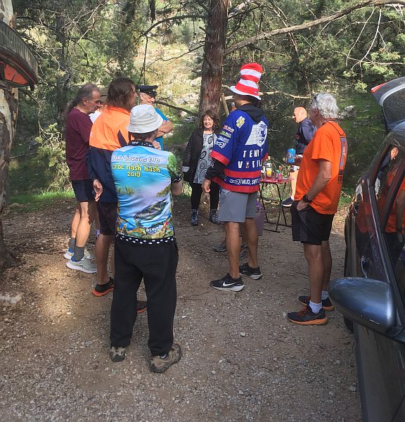
The Taverna
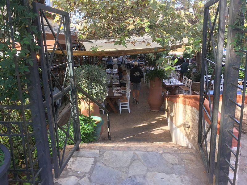
Entering the taverna
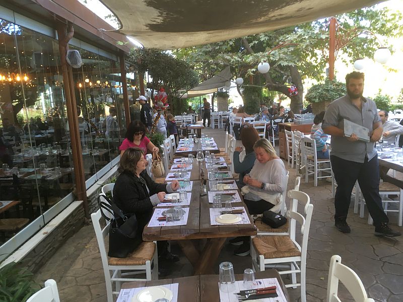
Hashers arriving
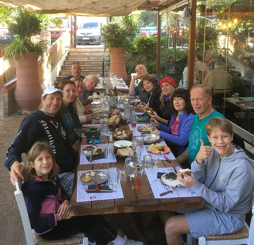
The waiter kindly takes a photo of us.
Taverna
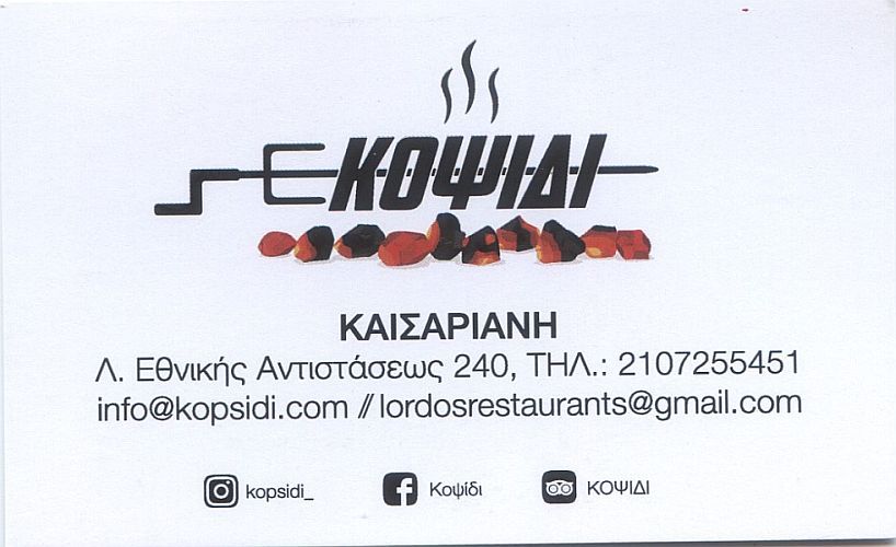
card - front
Taverna card - rear
Bill - 18 euros pp
Trail Recordings
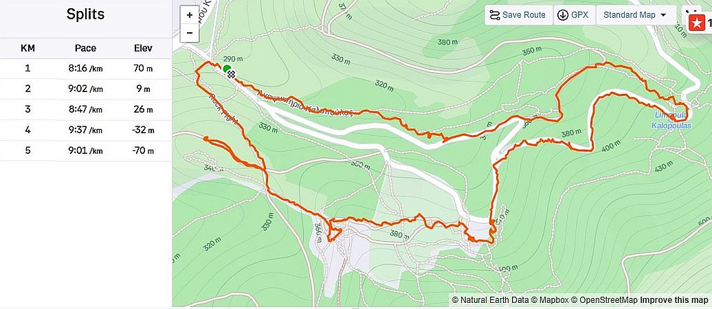
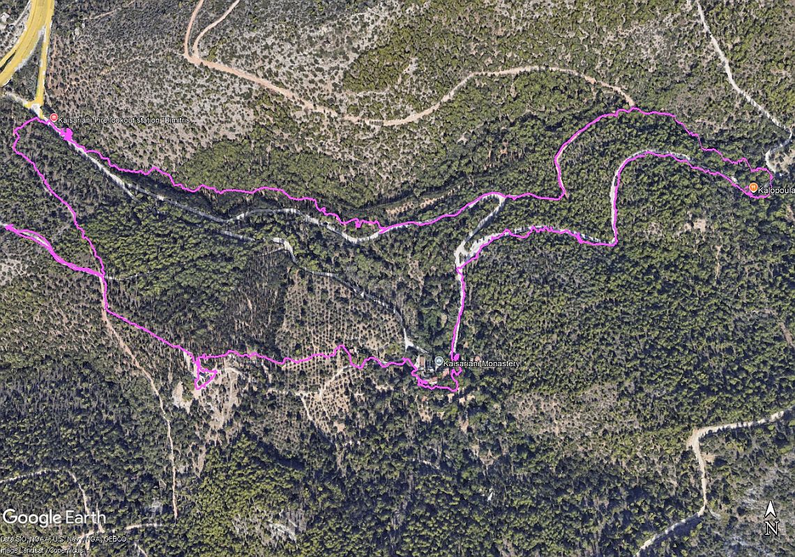
Runner's trail as recorded
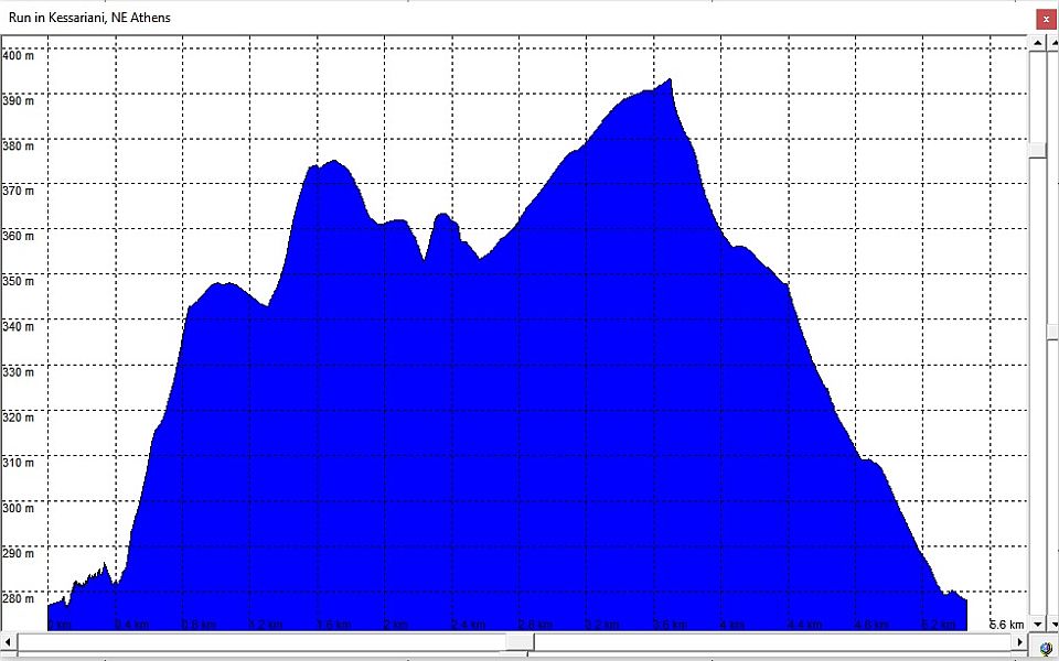
Altitude profile - showing a (394 - 278 = 116m) climb to the highest point
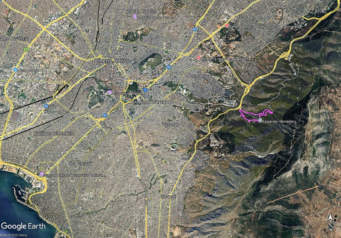
Location of the run WRT Central Athens
The walker's trail as planned. Also planned was a visit to the monastery (3 euros pp covered by Hash Cash).
THE DIRECTIONS TO THIS HASH
Sunday 23 November – 11am
Run: 2301-ISH
Hare: MD & TV
Venue: KAISARIANI [also written KESSARIANI]
On
Inn: KOPSIDI TAVERNA [map link below]
MisDirections: Look for the Blue H*sh Flag!!
From the Centre:
Get onto Katechaki avenue and follow the road right and up towards Kessariani. At the top the road bends to the right and you see road signs ‘Kessariani’. Follow these. They take you to the side road on your right. Take this exit.
After 200 meters down this side road, turn left going under the bridge (Alimou-Katechaki highway).
Continue straight - as you enter the road leading up to Ymittos there may be a ‘no entry’ sign. Ignore this, as it only applies when the Mount is shut overnight.
Continue along the road that climbs up into the mountain for 100 meters.
From North:
From the Attiki Odos get on the Ymittos ring road.
Keep going to the very end. Do not take the exit for Katechaki, but follow the sign for Kareas Ave.
Very soon you will turn off to the right (signposted to Kessariani). Turn off on this slip road right and after 200ms turn left. You will now pass under the Alimou-Katechaki highway. As you enter the road leading up to Ymittos, there may be a ‘no entry’ sign. Ignore this, as it only applies when the Mount is shut overnight.
Continue along the road that climbs up into the mountain for 100 meters.
Coming from the South (e.g. Voula, Glyfada):
Get on the Alimou-Katechaki highway, going towards Mesogeion Avenue. Note you cannot turn off to Kessariani direct. So pass the turning on your right for Kareas. Pass the next turning on your left for Vyronas. Pass the next junction, with traffic lights. Get in the left hand lane (while still on Katechaki). At the next traffic lights there is a turning left signposted to Kessariani Monastery. Turn left off Katechaki here. You will come to a T-junction, with a cemetery on your right. Turn right here. This road goes uphill and takes you under the Alimou-Katechaki highway. As you enter the road leading up to Ymittos there may be a ‘no entry’ sign. Ignore this, as it only applies when the Mount is shut overnight.
Continue along the road that climbs up into the mountain for 100 meters.
IF LOST - YOU ARE LOST - either go home or call someone who cares …
Lost? Directionally Challenged?? Just plain gormless and stupid???
Call: ?? call MD on 693-251-1339 or TV on 698-057-4480 or message on AH3 Chat & Social WhatsApp group
GPS: 37.964374, 23.790667
PLUS
CODE: XQ7R+P7V Kesariani
MAP LINK: https://goo.gl/maps/ApEoxDs7EoG2
KOPSIDI TAVERNA [Leof. Eth. Antistaseos 240, Athina 161 22
https://maps.app.goo.gl/EGvvEuP1XAzUYGfk8
LOCATIONS OF INTEREST IN KESSARIANI (FUTURE TRAILS)
37.960943, 23.798174 Monastery
37.960262, 23.798154 Botanical garden
37.960871,
23.793476 Church of the Great Archangels (Large site)
37.960313, 23.793160 Taxiarches Hill - Panoramic Viewpoint
37.956686, 23.792619 Large cistern
37.960238,
23.794150 Stone double-spiral
37.961033, 23.796512 Volunteer organisation building
37.958916,
23.799199 Building in the trees
37.963593,
23.804239 Kalopoula Refreshments HIKING
Please use your "Back" Button (Top Left) to return to the previous page