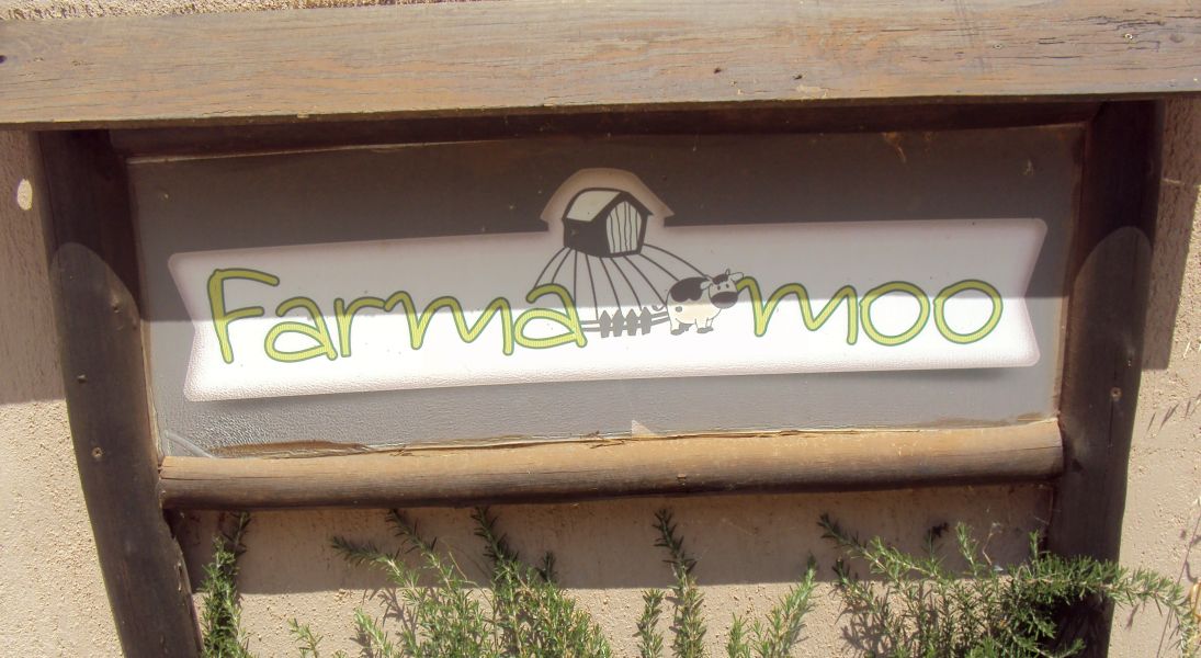
Farmamoo
Urban Farm (or Dude Ranch), Dionysos, Greece
(On the mountain road down to Nea Makri)
Animals, drinks, cooked food at weekends
http://www.farmamoo.gr/el/home.html
https://www.facebook.com/farmamoo
GPS coordinates
for the FarmaMoo ranch are:
38°05'41.9" N 23°55'54.6"E
38.094979, 23.931828
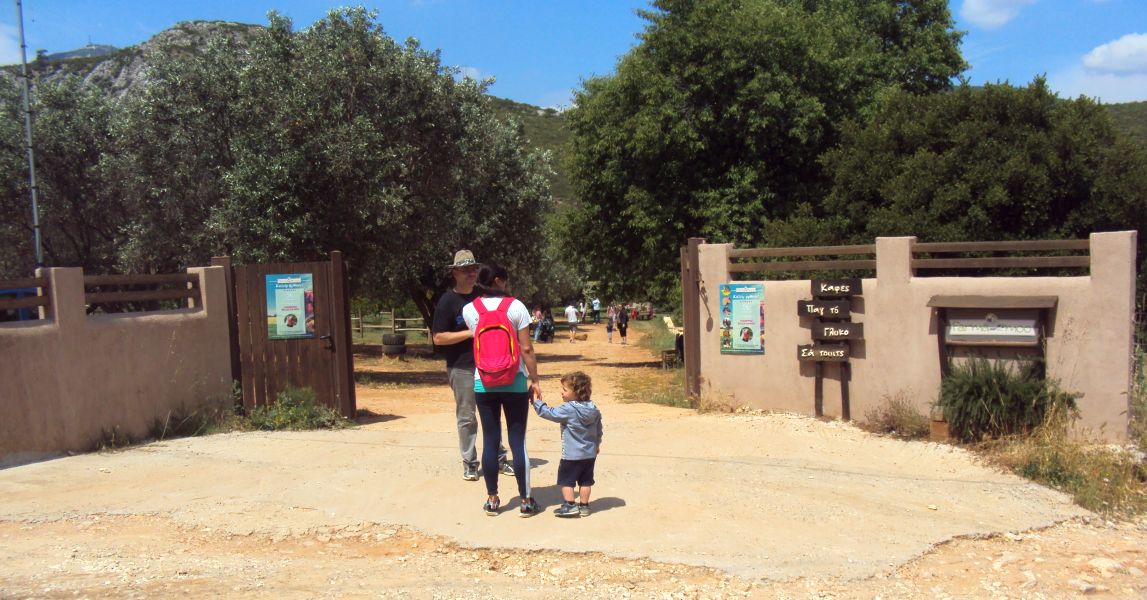
Farmamoo entrance and parking
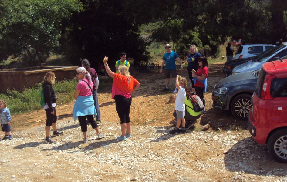
Hashers gather outside and opposiite the farm
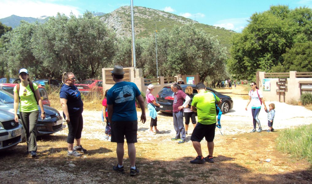
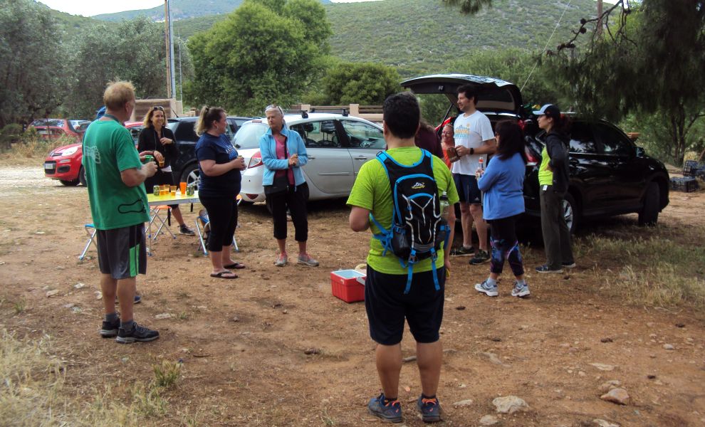
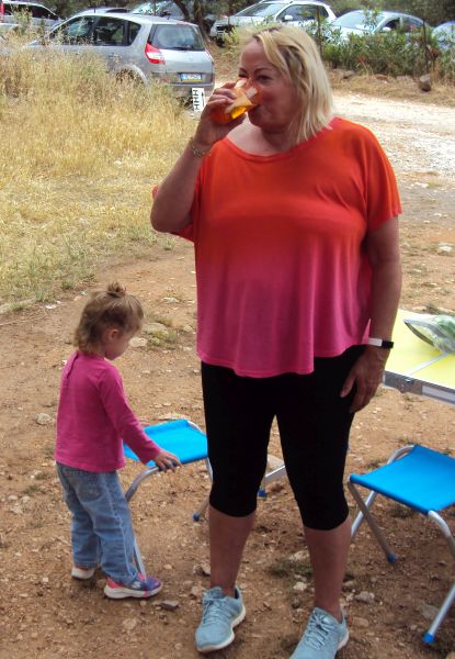
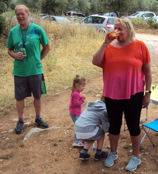
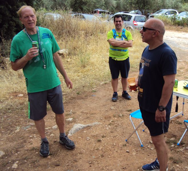
Socially distancing for the pre-hash circle (Corona virus COVID-19 precautions)
This is the first Sunday hash since the lockdown began and most hashers are out of shape but excited to restart hashing.
The hare Tender Vittles is doing a LIVE TRAIL and gets 5 minute's start before the pack sets off after him, following his white flour trail.
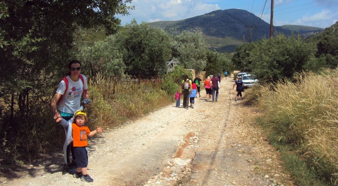
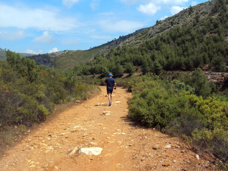
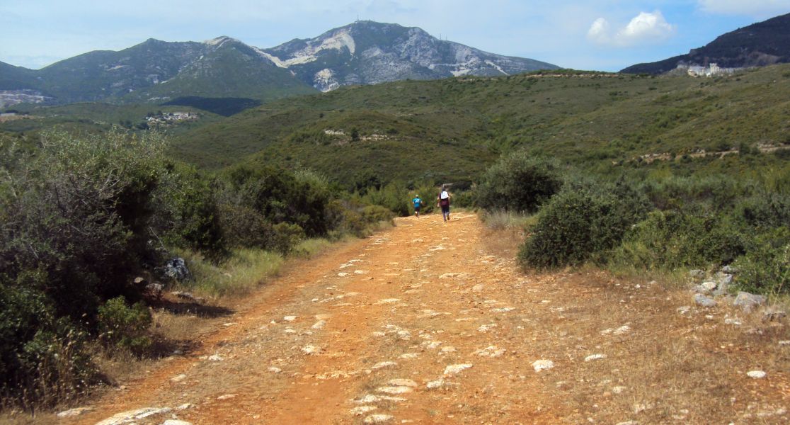
The runners and walkers set-off
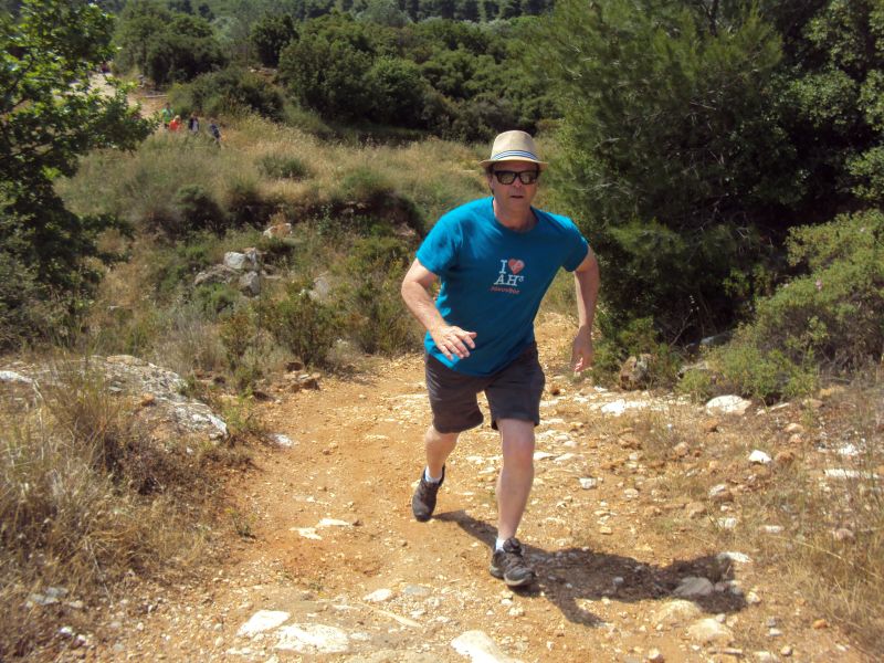
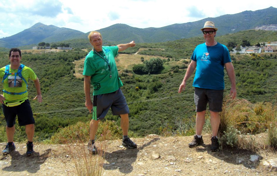
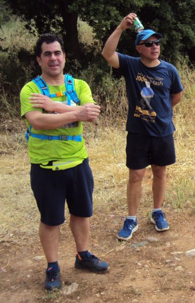
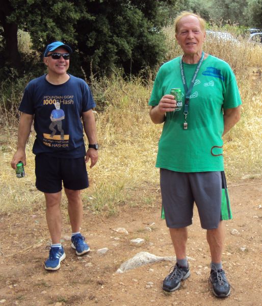
Jacket-Off
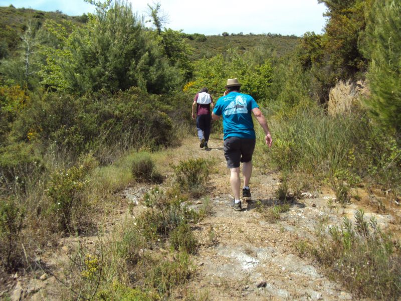
Walkers
Rear Entry
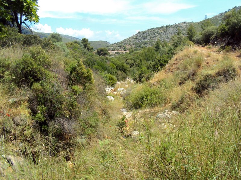
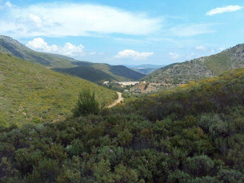
A dam in the distance
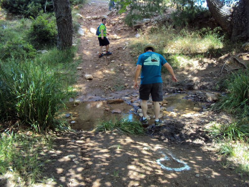
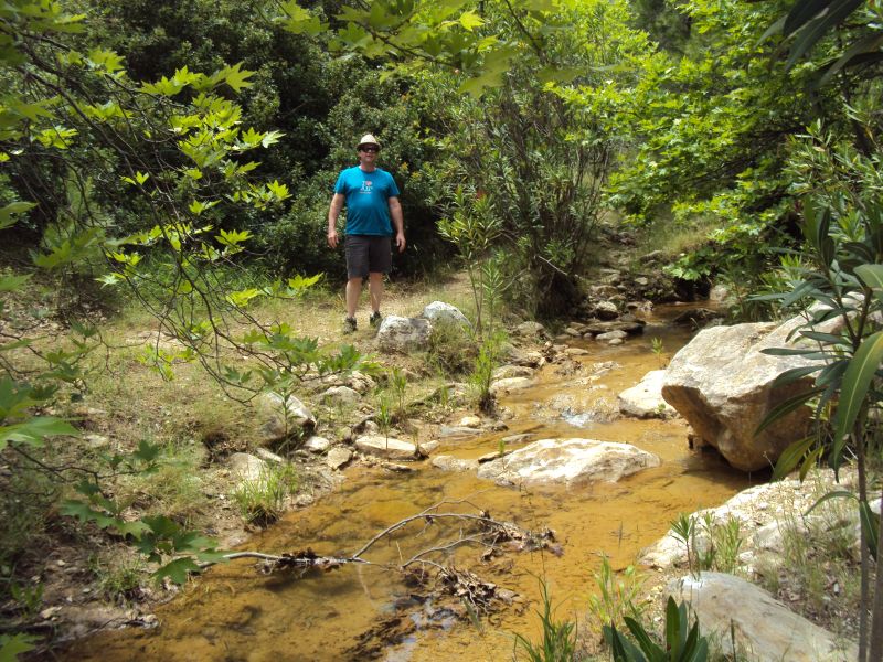
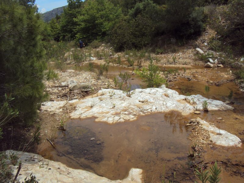
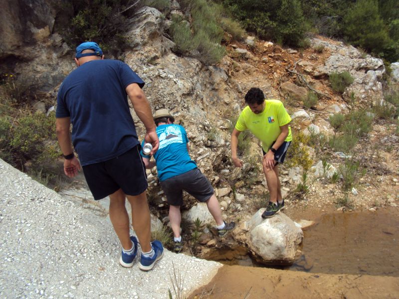
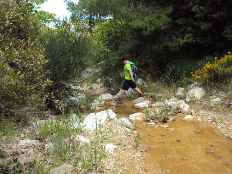
Check and then stepping stones over the brook
On on
Dam
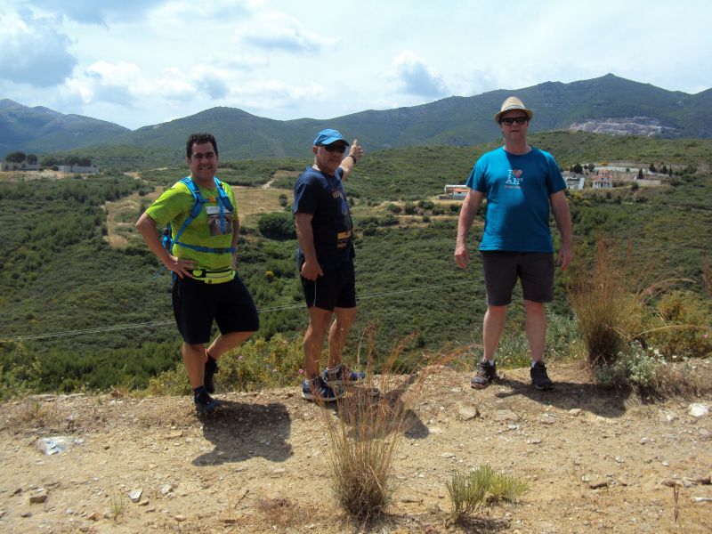
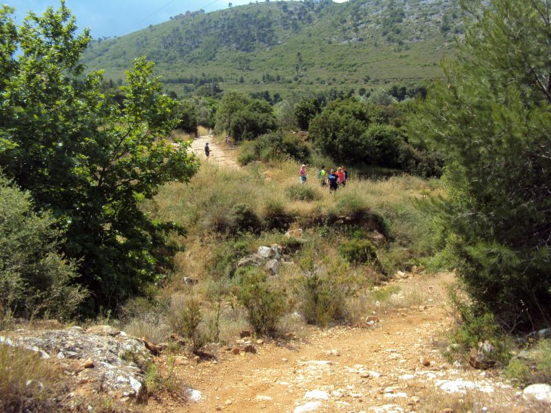
Runners pointing the way
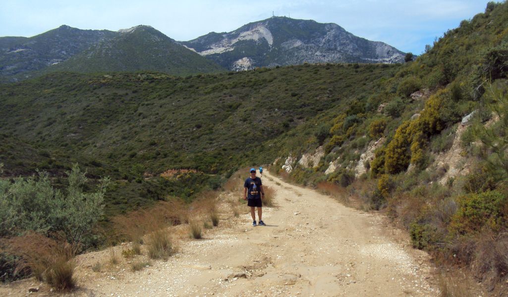
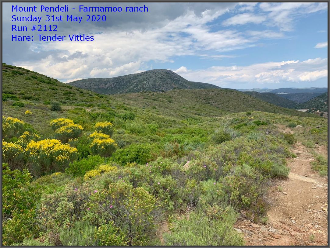
Wonderful views
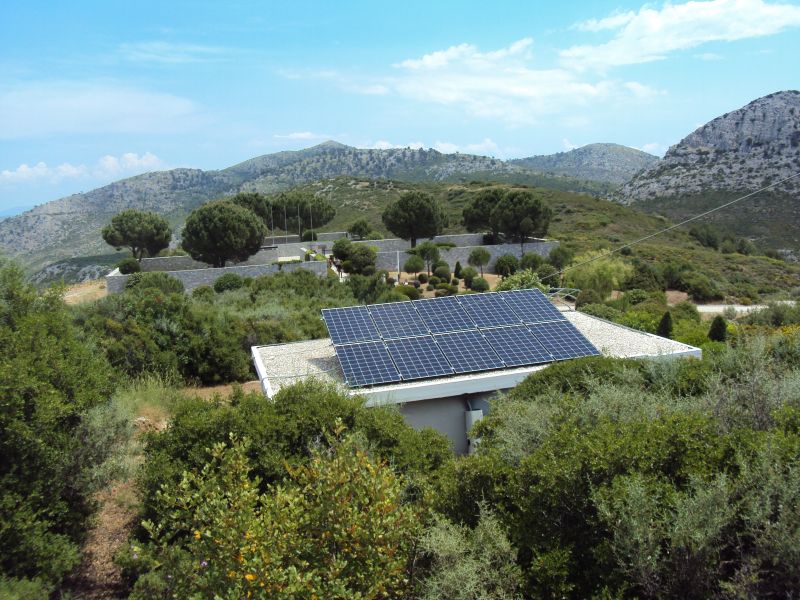
View of the German Cemetary over the top of a solar-powered dwelling
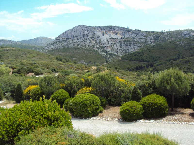
The view from the road to the German Cemetary
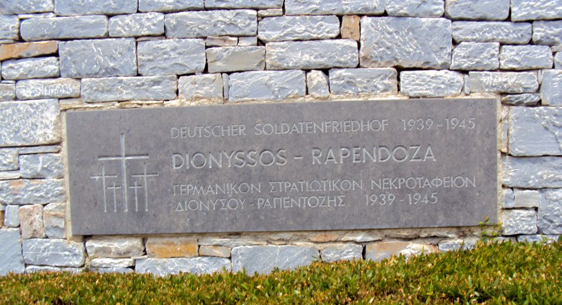
The sign outside the cemetary
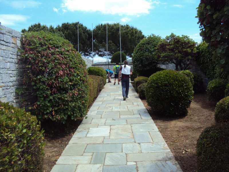
Entering the cemetary
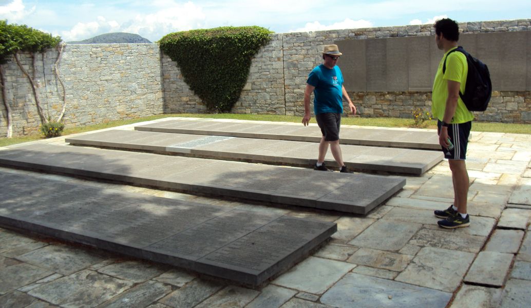
One of three sections with graves - all beautifully kept
Springtime greenery
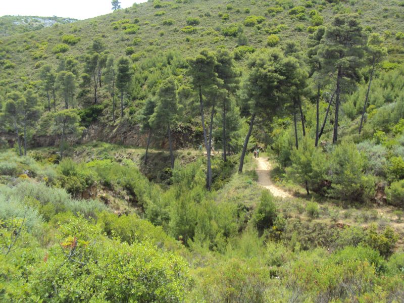
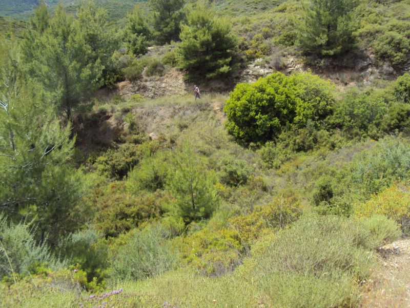
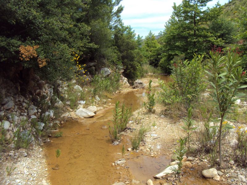
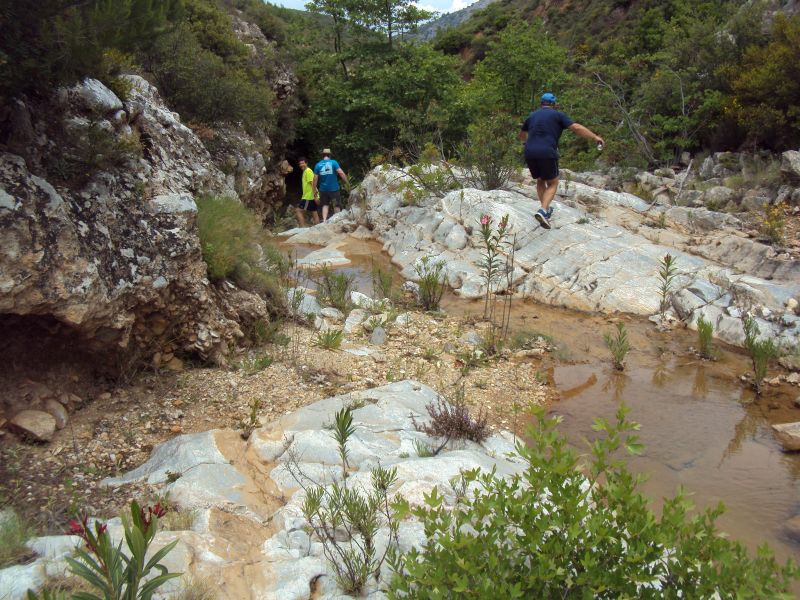
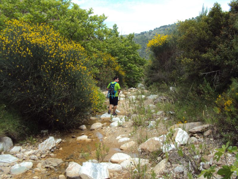
Running alongside the ravine
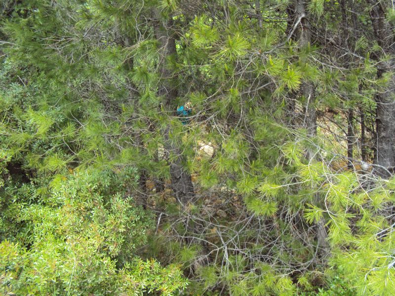
Jacket Off decends down to the river bed
Frogs croaking - or is that Jacket Off?
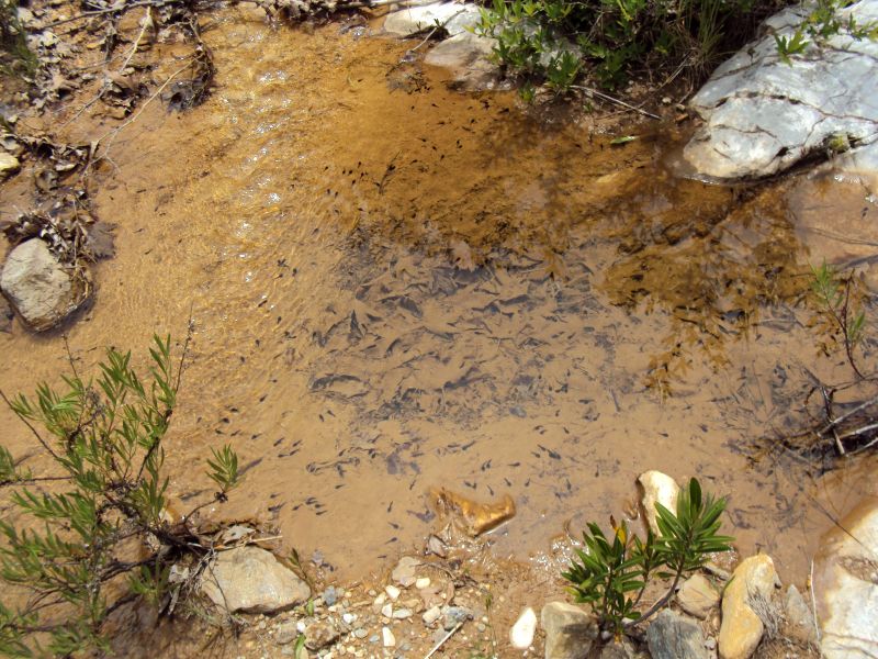
Hundreds of tadpoles. Frogs croaking.
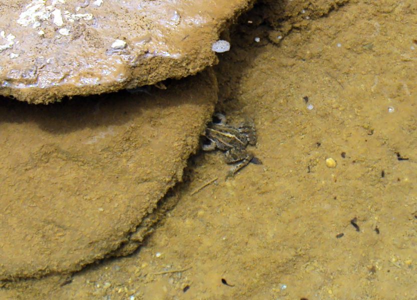
Frog trying to hide
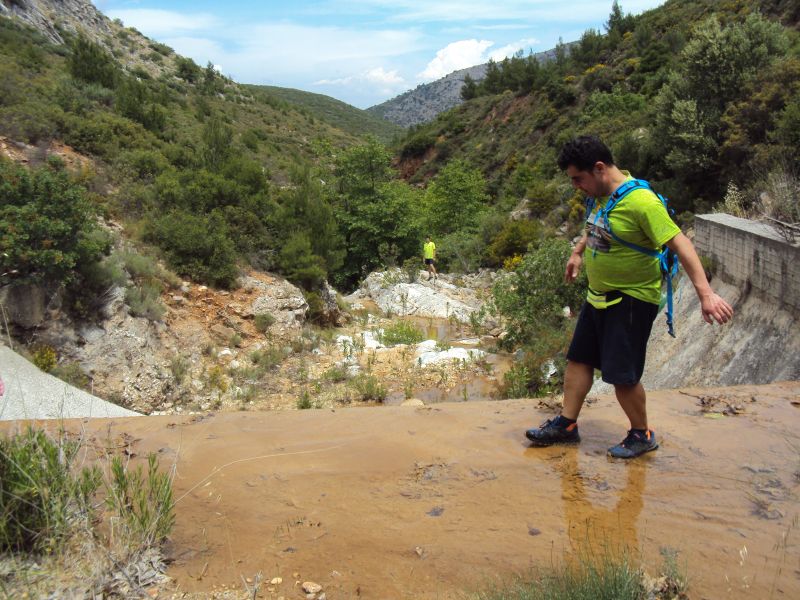
We come to a small dam and have to find a way down
OK not too difficult
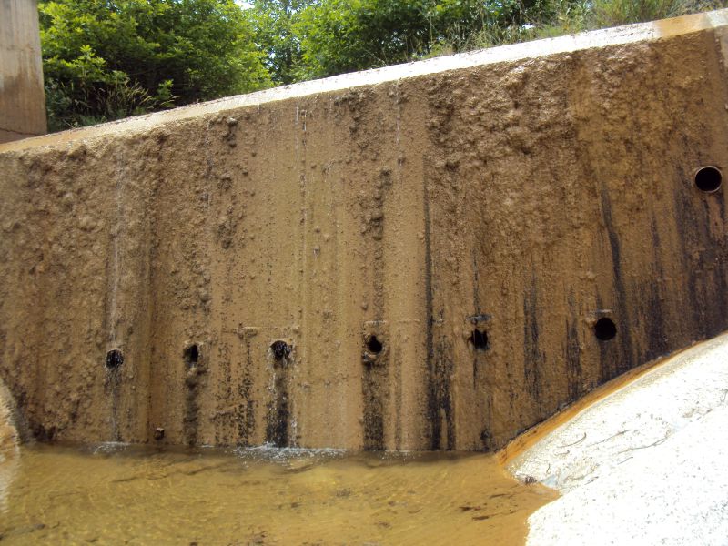
View of dam looking back
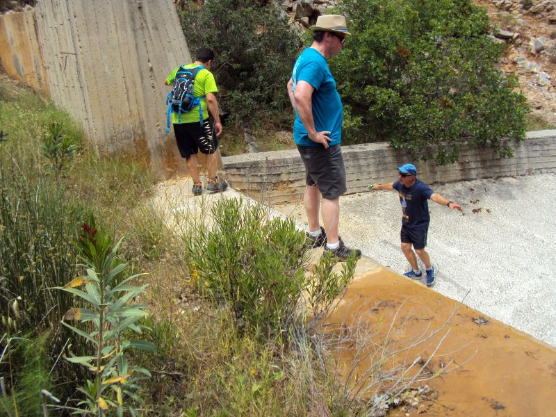
Another man-made obstacle. The hare TV helps guide the runners
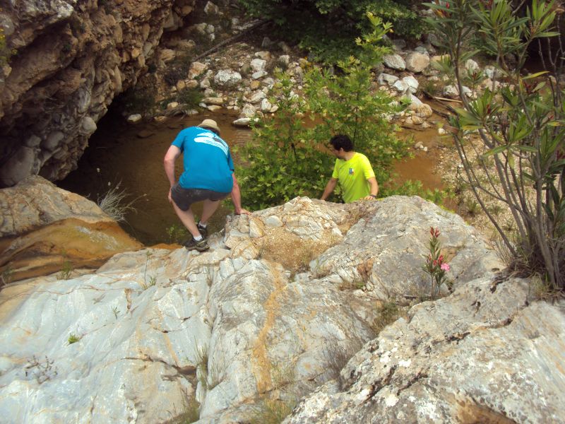
Climbing down next to a waterfall
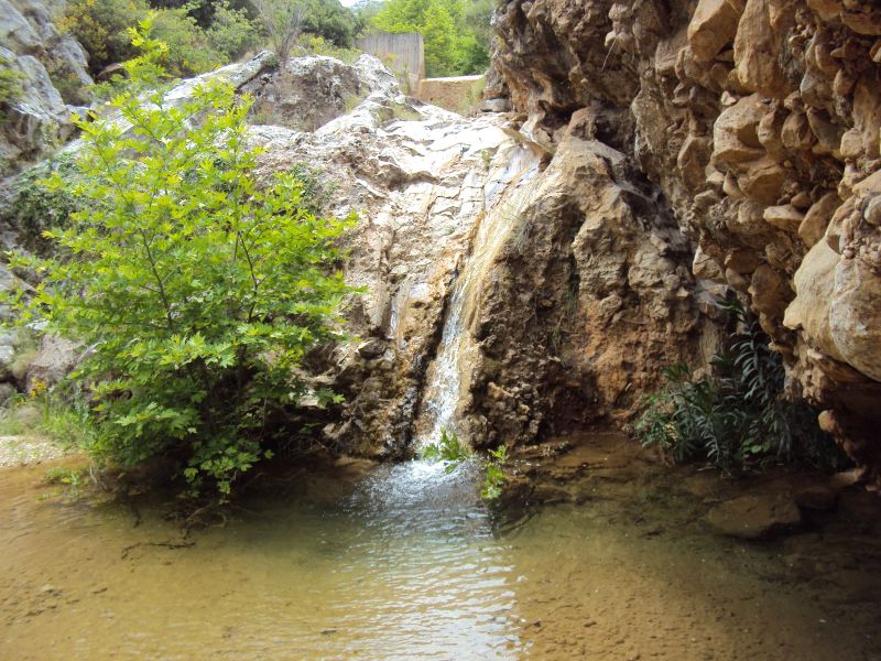
The waterfall
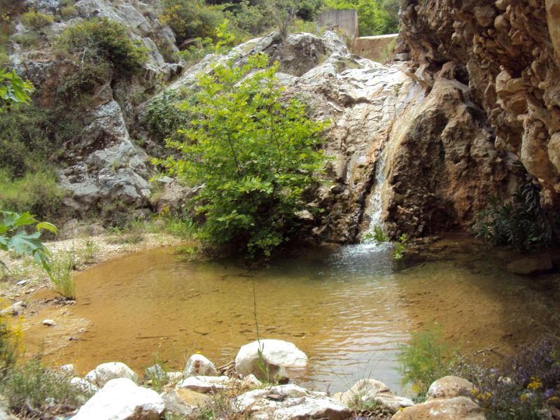
Another view of the waterfall
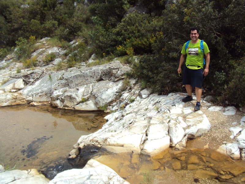
Alex hops across the water
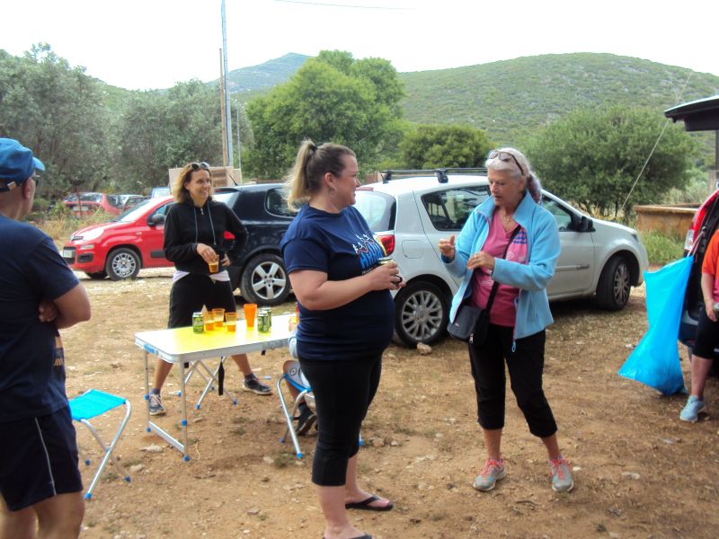
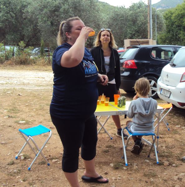
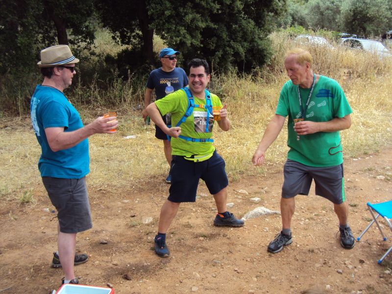
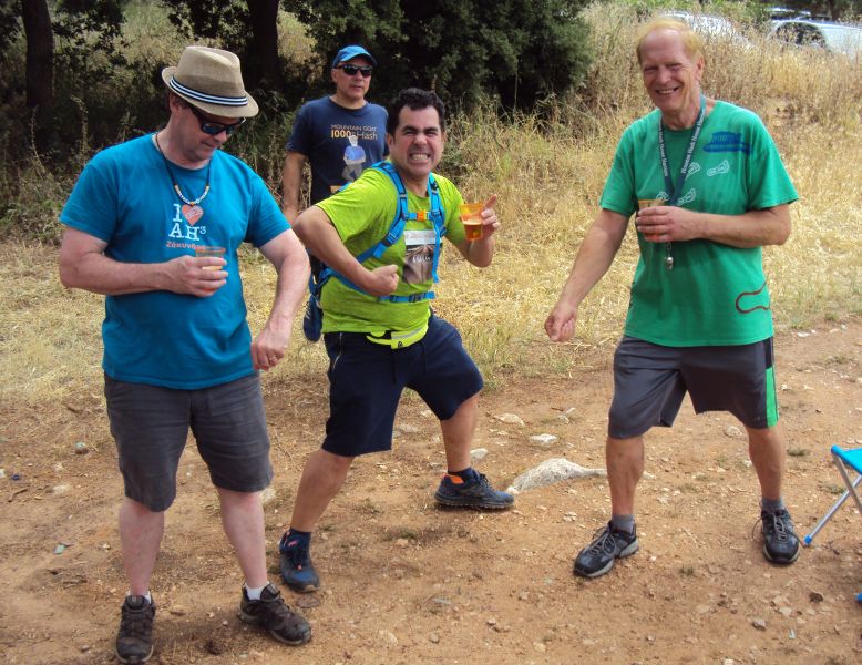
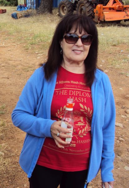
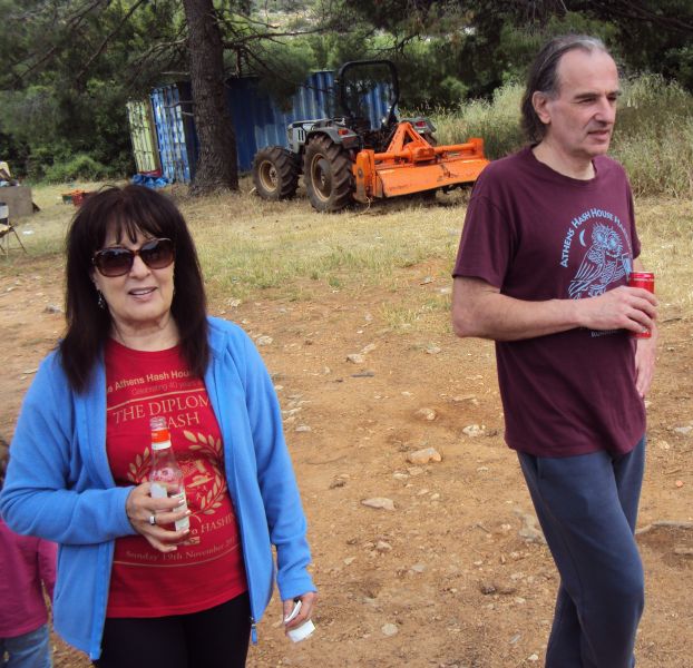
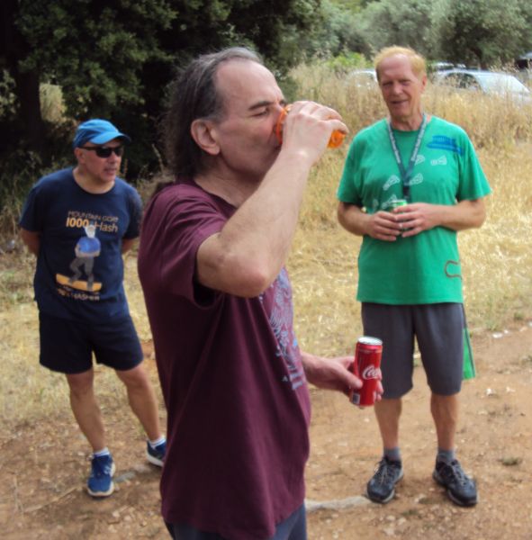
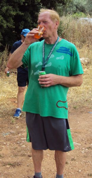
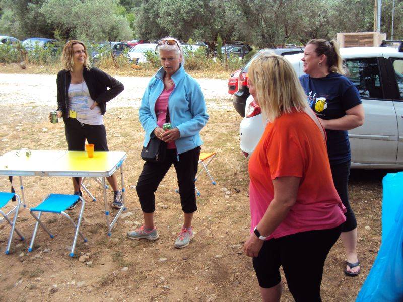
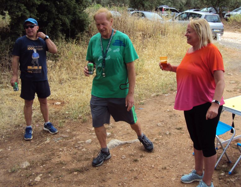
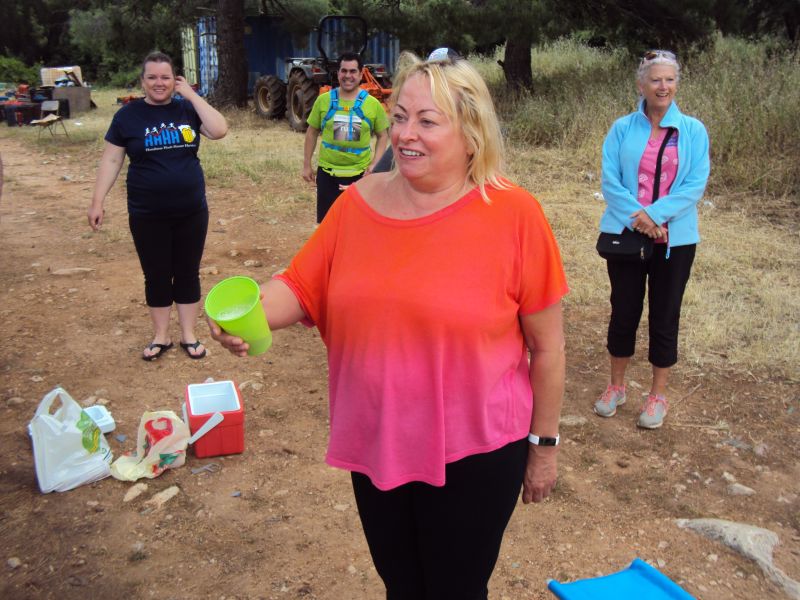
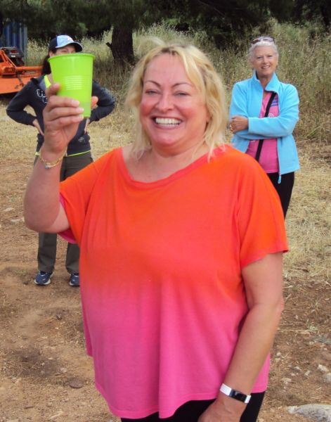
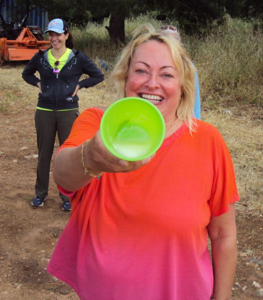
THE CIRCLE
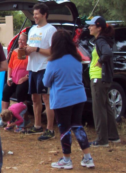
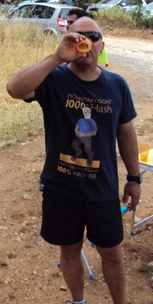
The hare Tender Vittals
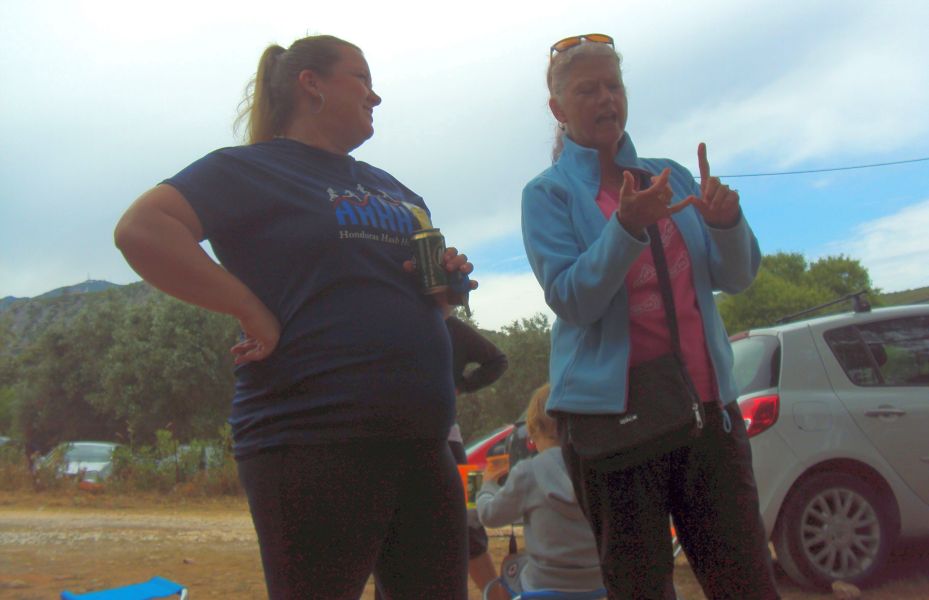
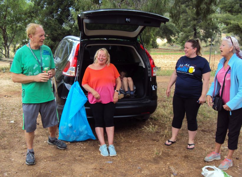
Clitoria questions new harriette Jessica (formerly from the Honduras hash)

Bleeding on the hash offence...
The runners display their wounds (well, just scatches)
The circle after a Chinese fire drill
THE TRAIL
(About 8.5 km)
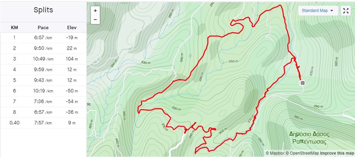
From the Strava smartphone app website
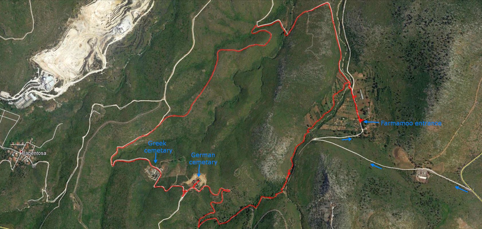
Google Earth satellite view from the Strava GPX file
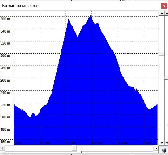
Elevation profile of the trail (showing a vertical range of 160m)
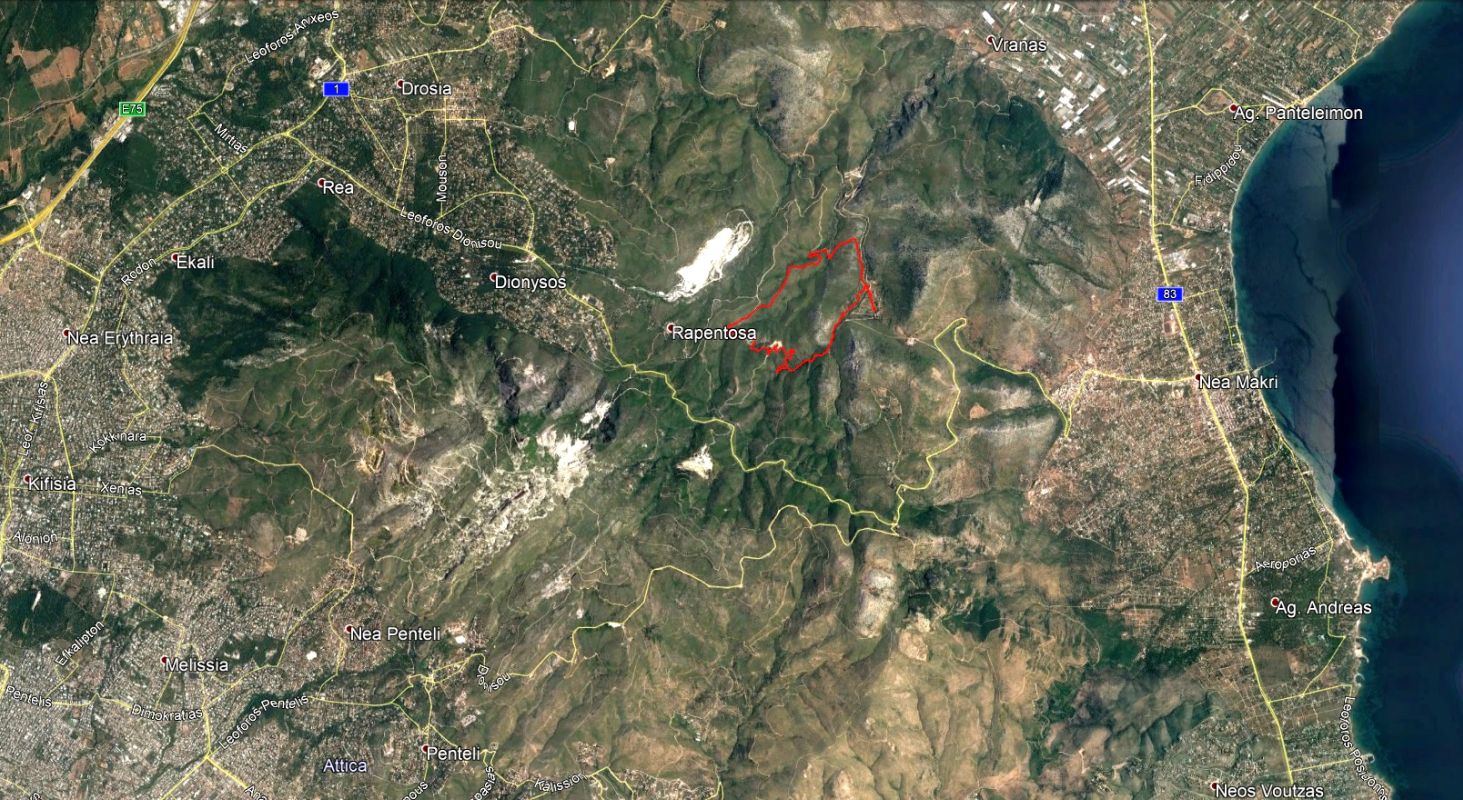
Location of the trail (reaching close to the village of Rapentosa)
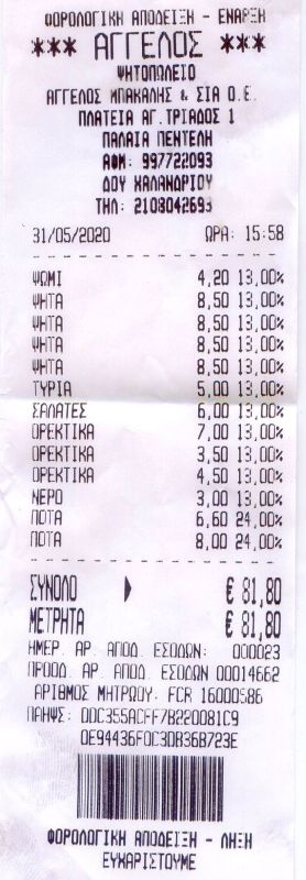
THE TAVERNA
(Upper Platia, P. Pendeli)

Kokoretsi, kondosouvli, bifteki, etc for 15 euros pp
The directions to this hash
Run:
2113-ish [?}
Hare: Tender Vittles
When: Sunday 31st May – 11am
Where: Farmamoo [my farm], Leof. Dionisou, Nea Makri 190 05
Comments:
Clit:
“a chance to interact with goats, sheep, horses, chickens, ducks, bunnies
and dogs” [just up our street…. ?]
Hare:
This will be up Pendeli mountain, this will be an A to A trail.
€3 hash cash.
Expect a walkers trail and a shiggy runners trail.
Bring change of clothes, whistle, sense of humour and any virgins.
MIS-DIRECTIONS:
For Sat Navvies:
https://goo.gl/maps/Nhu1myp47cKAjX2e6 (OK)
For
Sat Navvies, the correct GPS coordinates for the
FarmaMoo ranch are:
38°05'41.9" N 23°55'54.6"E
38.094979, 23.931828
PLUS CODE 3WVJ+WP NEA MAKRI (OK)
Lost?
Directionally Challenged??
GPS not working or you don’t know even what it is? Just plain stupid???
Call: the Hare’s Mrs - Krazy Puppy: 6980 478074