|
|
|
|
|
6.97 km |
|
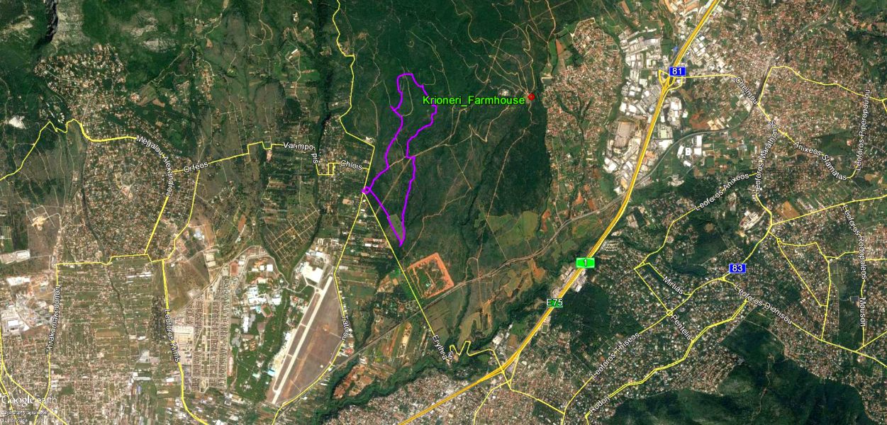
38.127214°, 23.794154° |
Photos & web page: Mad Dog
The
Trail |
Featuring GPS recording technology used by Athens Hashers
in 2016
(A historical record for the future)
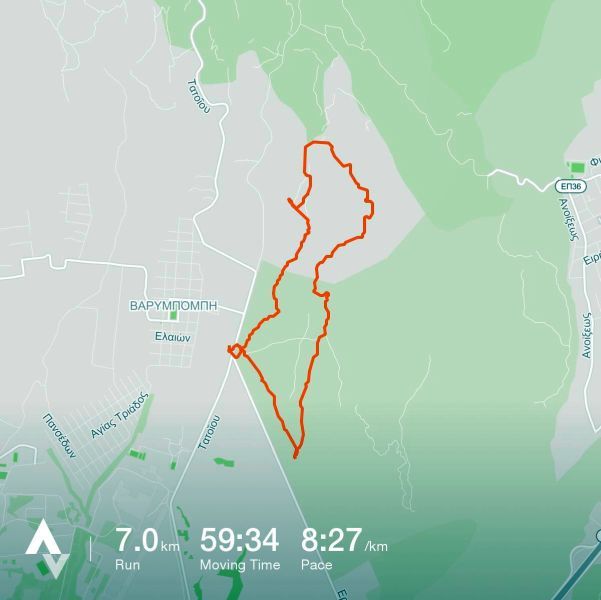
From the Strava runner's application website
- trail recorded on MD's iPhone-4

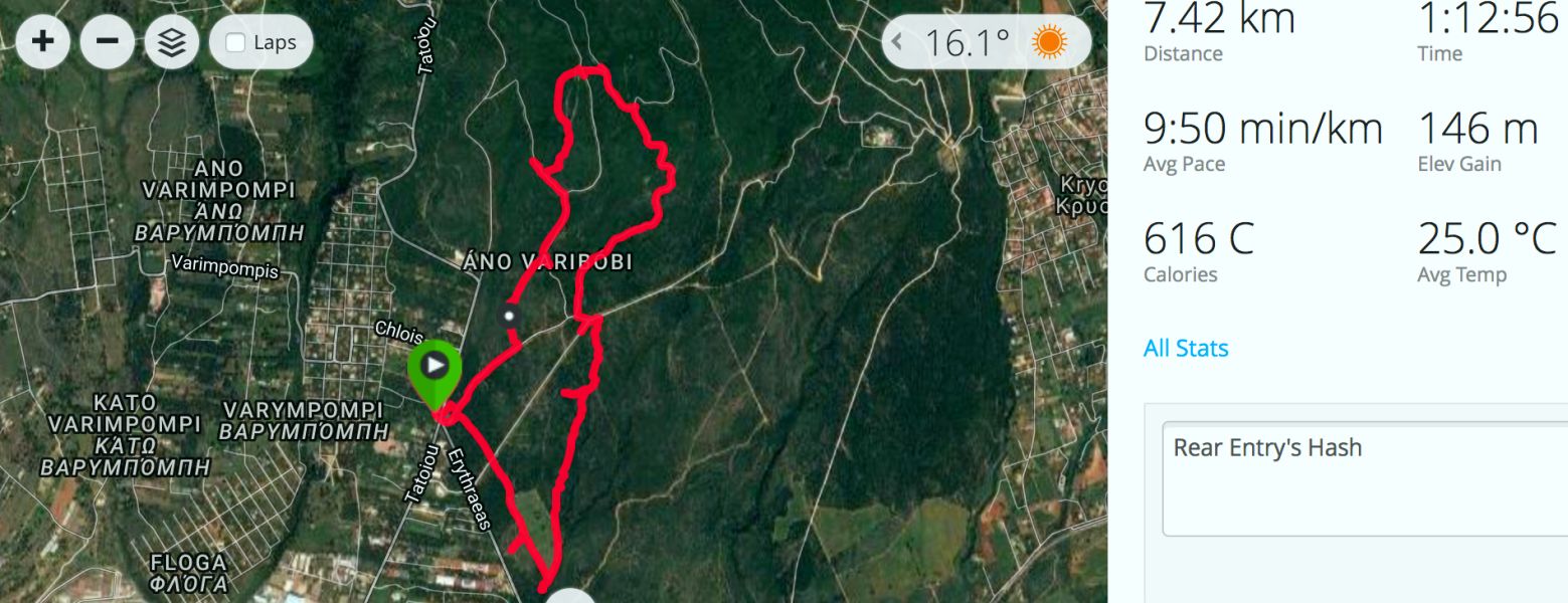
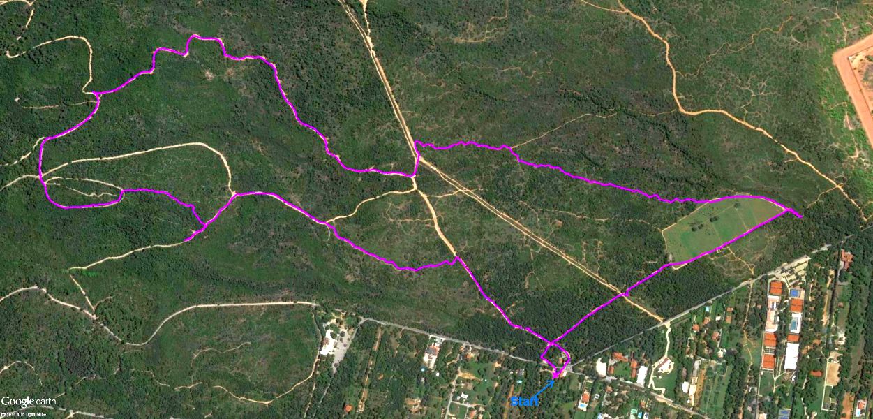
Pussy Basher's GPS trail - recorded with his Garmin Fenix 3


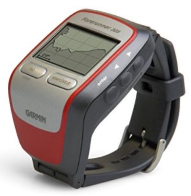
Images of the Garmin Fenix 3
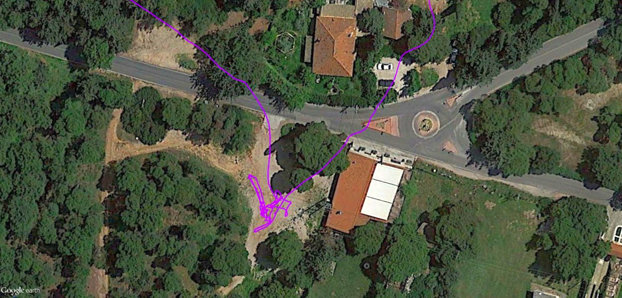
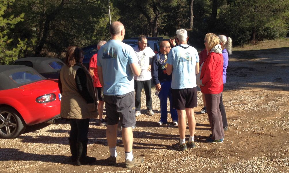
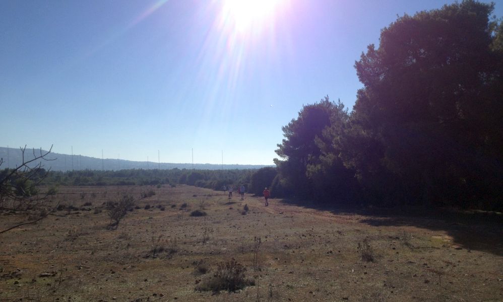
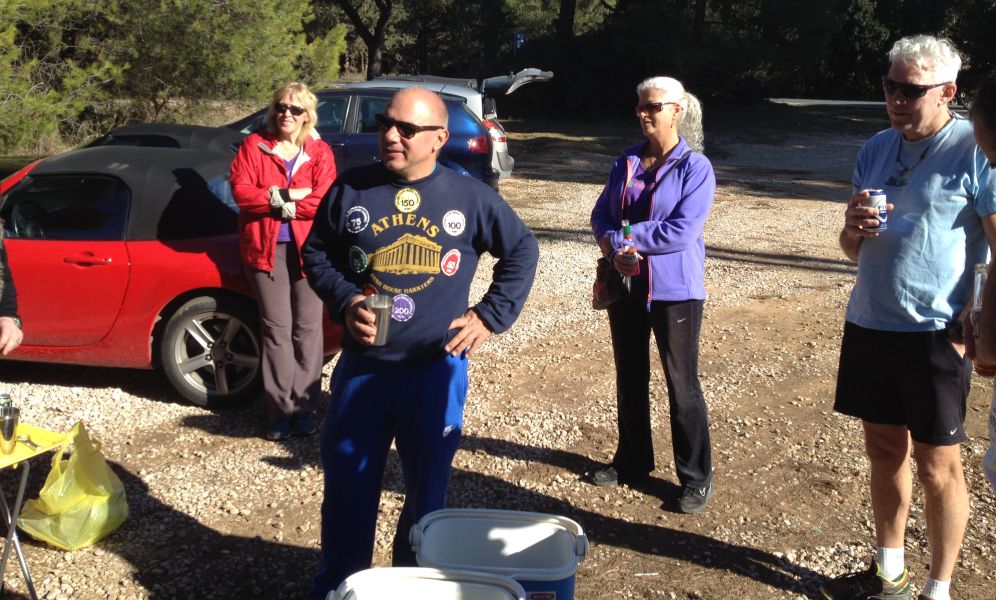
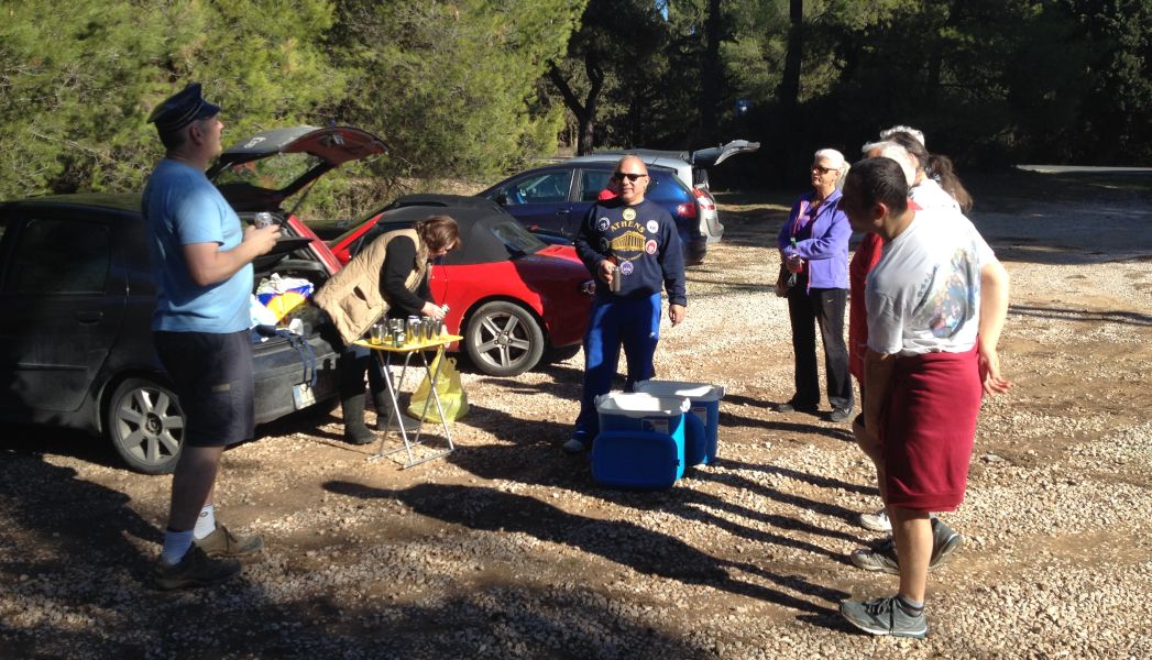
Parking, start of run and circle location
Mad Dog's GPS trail - recorded with his Garmin Forerunner 305 - and the .gpx file converted to .kml file displayed with Google Earth Pro

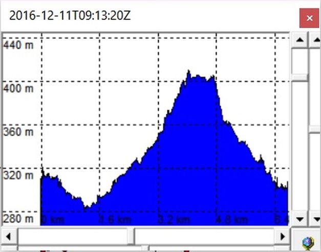
Elevation profile for the run
- From the GPS Trackmaker program running on MS-Windows-10
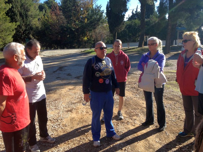
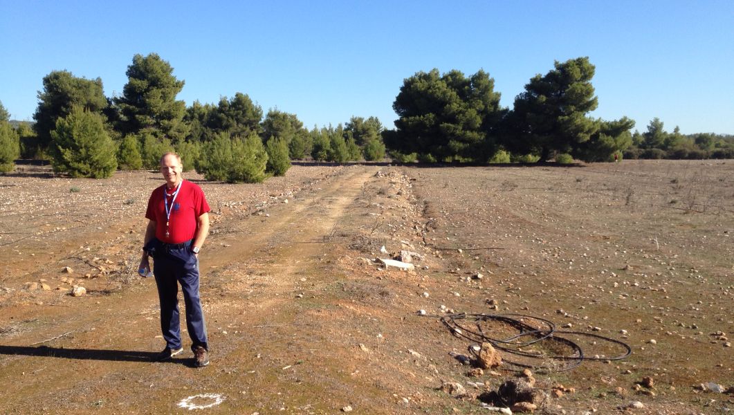
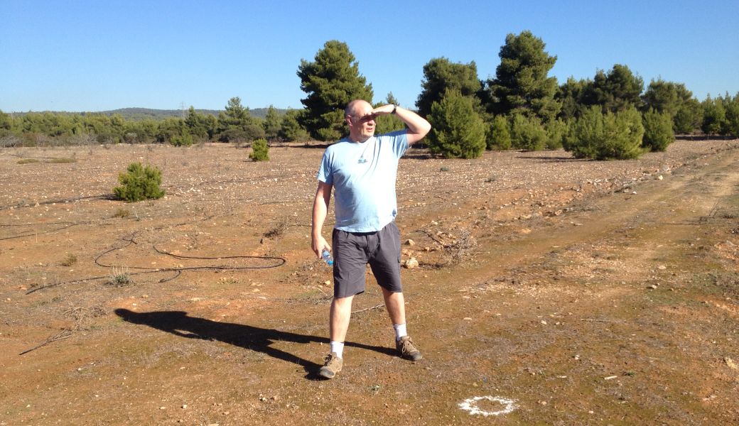
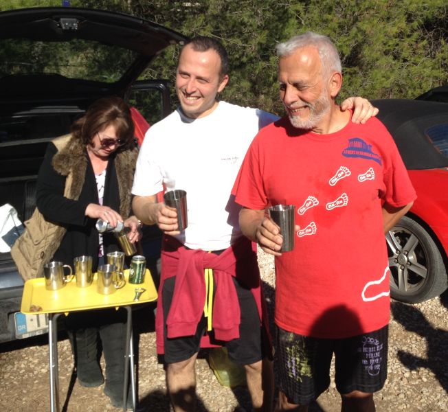
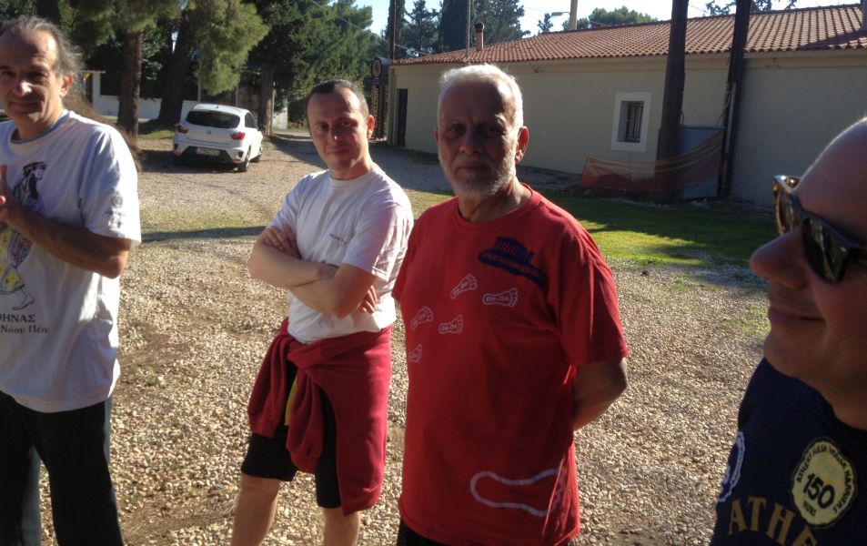
Before the run |
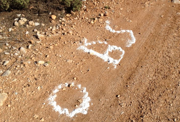
The hare Rear Entry describes his trail with misleading details
The runners start "that way" he says
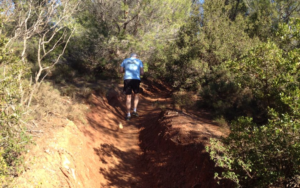
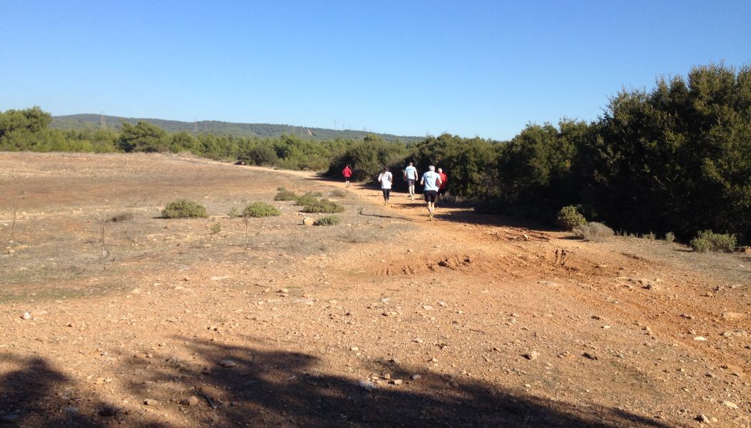
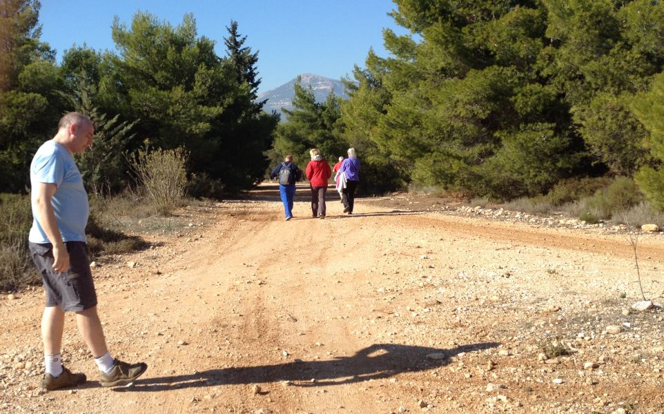
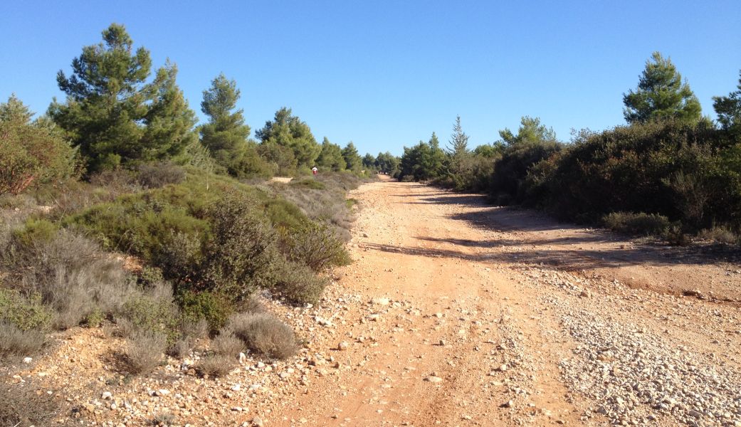
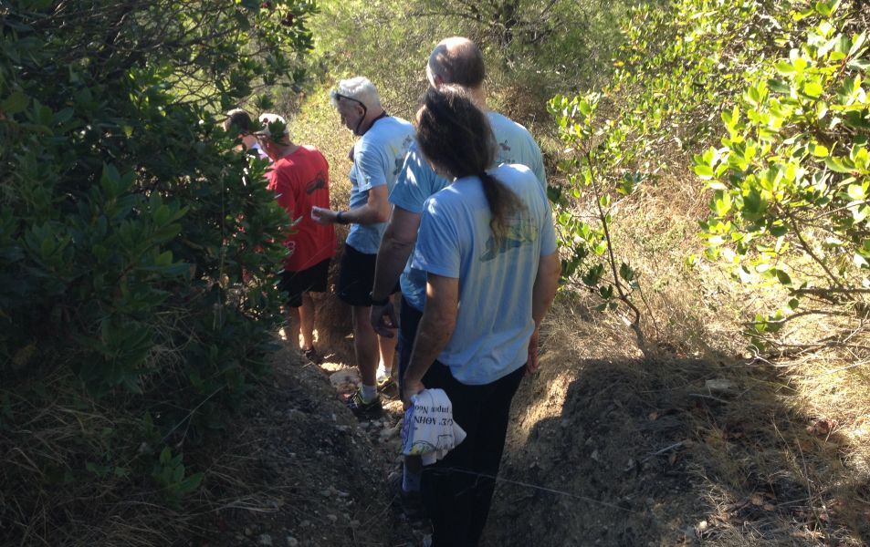
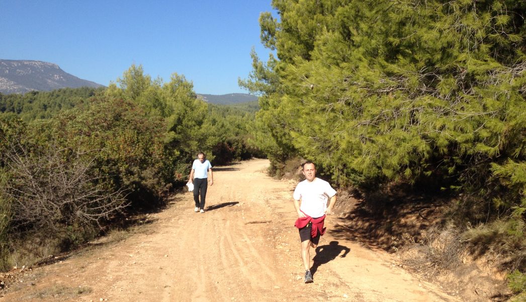
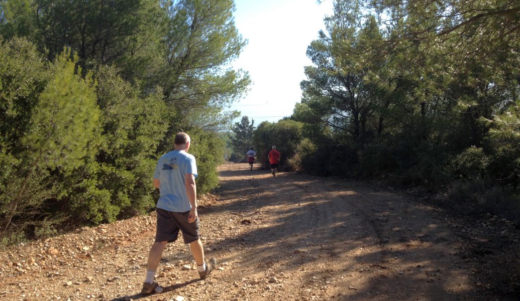
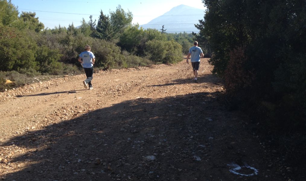
The
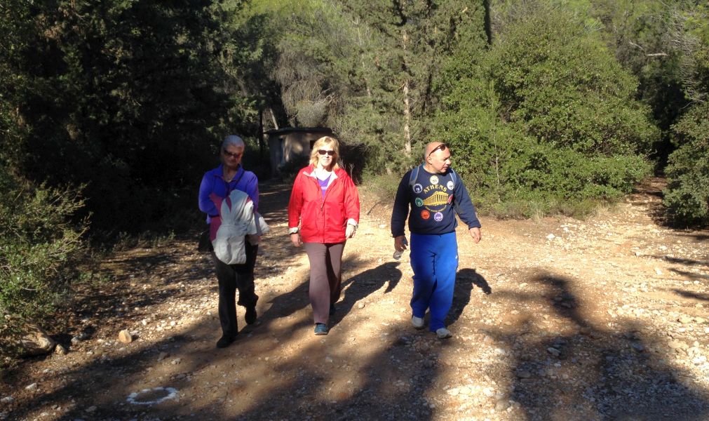
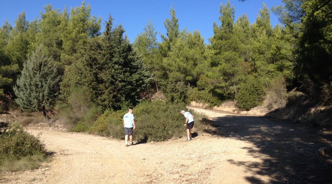
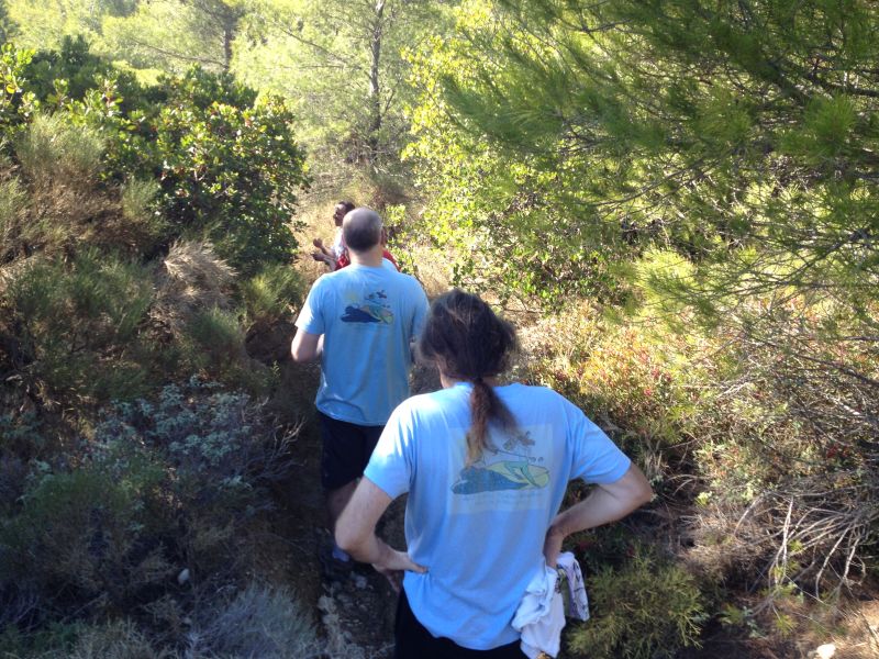
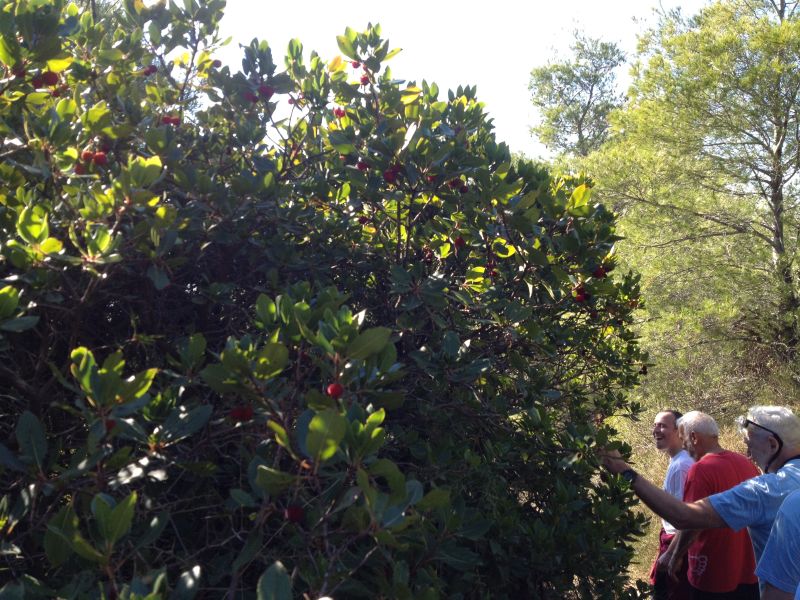
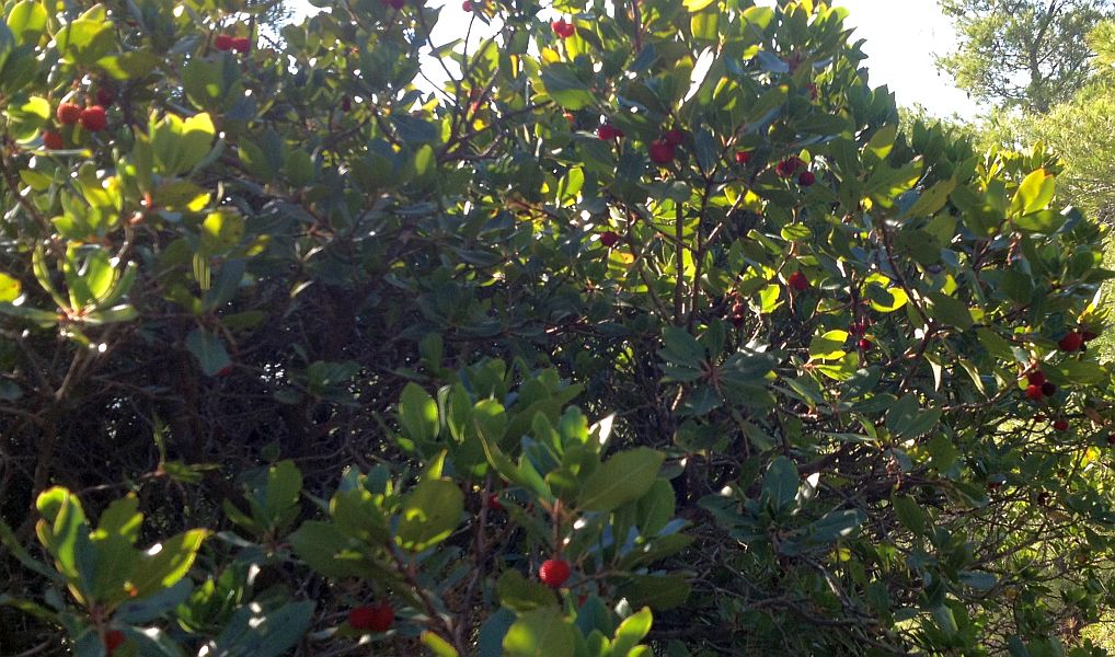
Run and Walk |
\
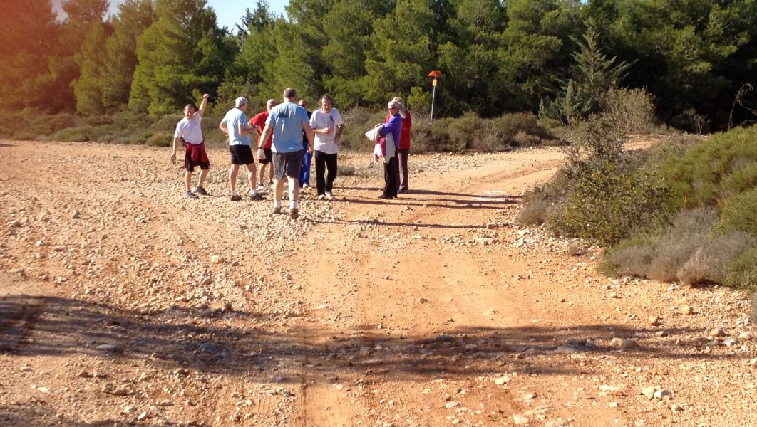
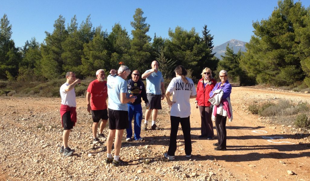
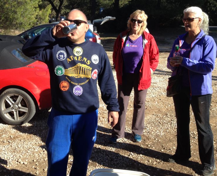
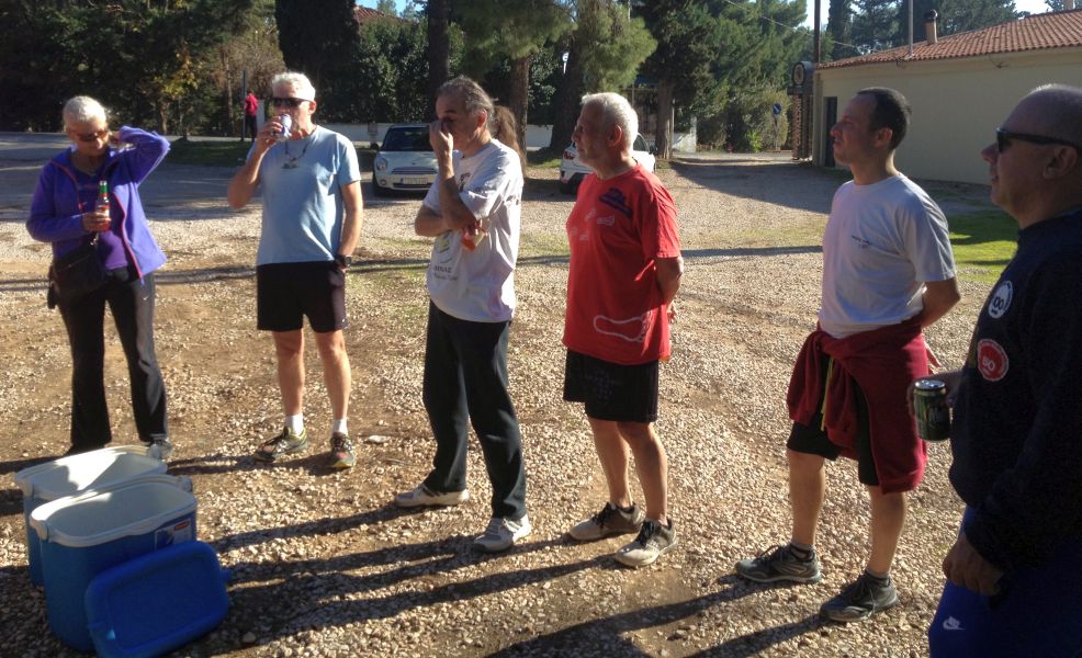
The
Circle |


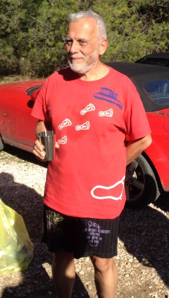
Mountain Goat returning from the middle east to see his family
(or maybe he just misses us)

The
Taverna |
Where did they go?
The directions to the hash - for the record |
Sunday 11th December – 11am
Hare: Rear Entry
Venue: Varibobi
On Inn: tbc
Directions:
From wherever you come:
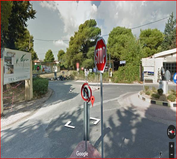
follow the road signs to Varibobi, cross the Varibobi Bridge (Flyover) the National Road to Lamia, continue on this windy road, that after a while becomes a long straight road going slightly uphill, at the end of the road there is a roundabout [with a horse head statue in the middle] and junction with the road coming from Tatoi Airport [note the STOP sign!]
do not turn left towards Varibobi village.
do not turn right for the King’s Estate.
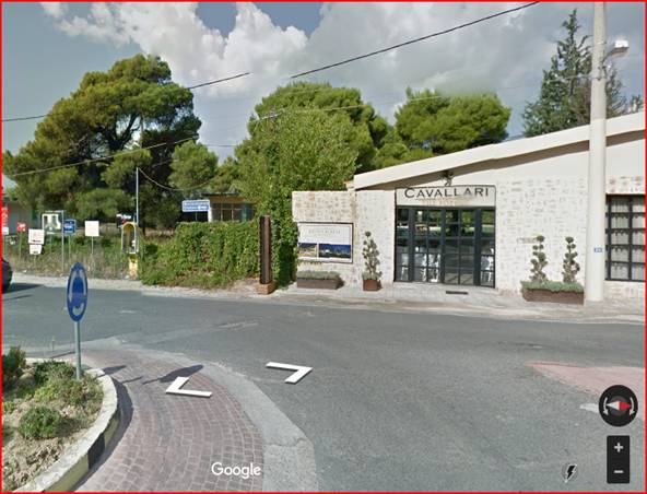
Directly opposite the STOP sign there is a small taverna CAVALLARI – park in the car park. The run will start here.
Lost? Directionally Challenged?? Just plain stupid???
Call: Rear Entry 6942 477992
IF LOST - YOU ARE LOST…..