KRYONERI
Run
1972 - 20th November 2016
Hare: Mad Dog
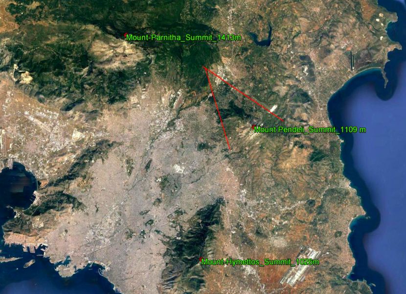
GPS: 38.138049°, 23.816338°
38.138049°

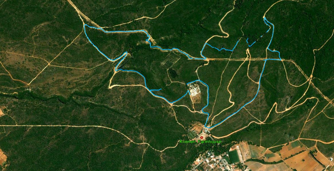
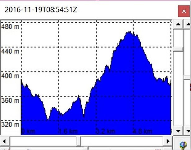
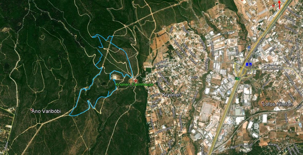
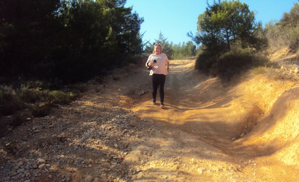
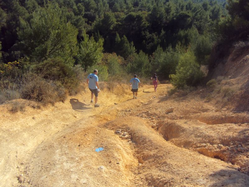
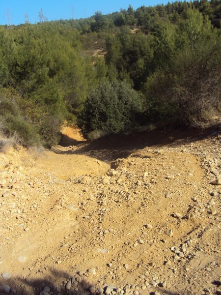
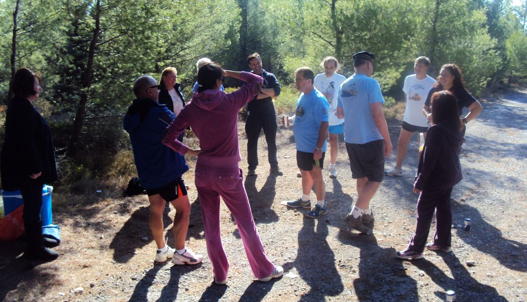
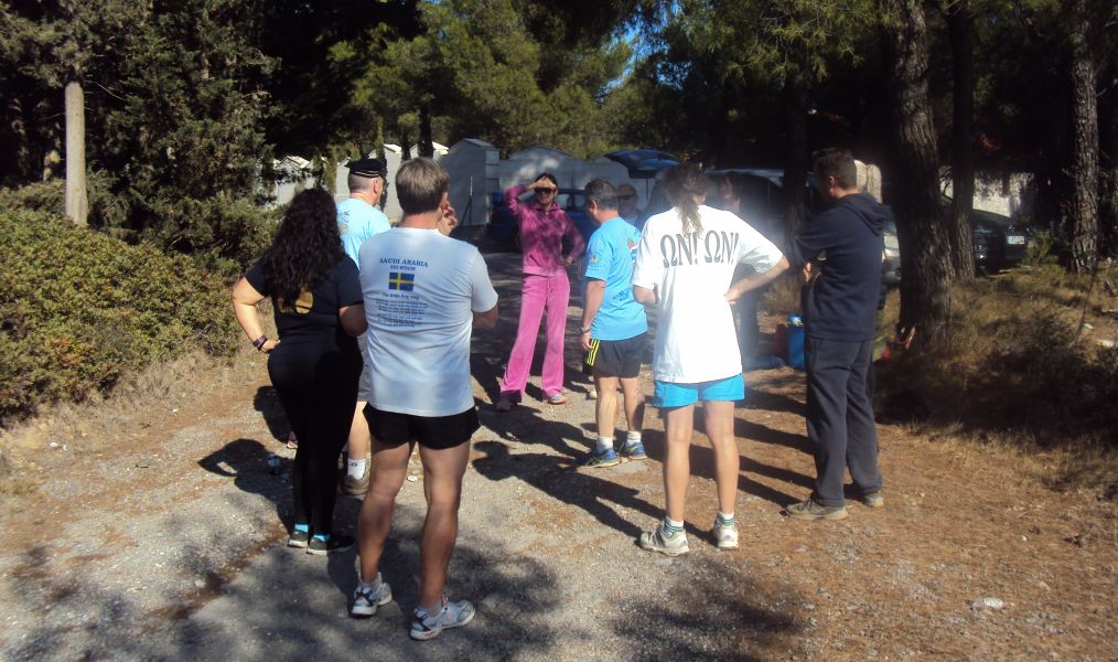
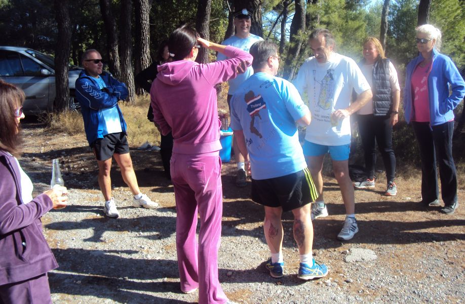
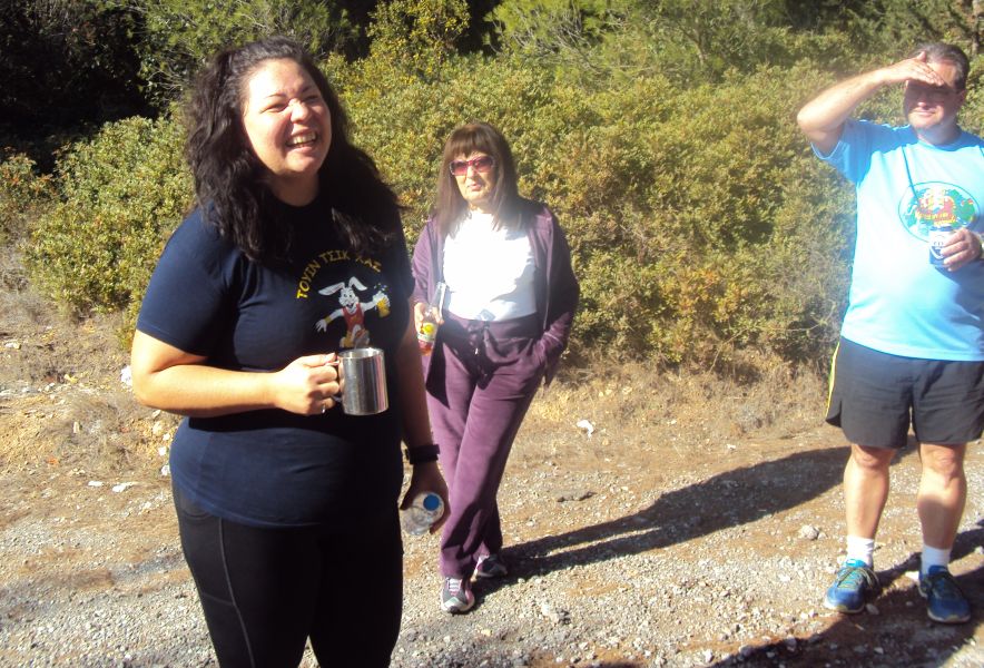
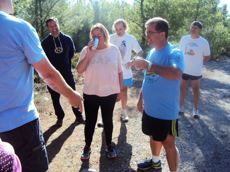
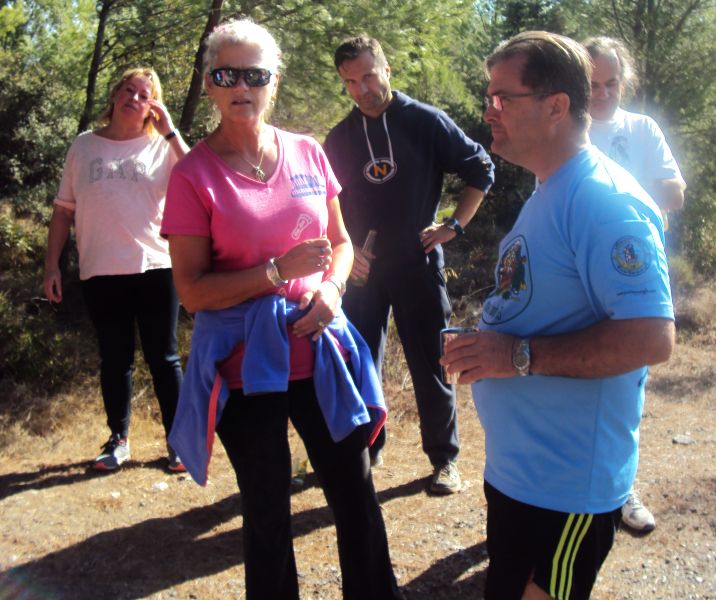
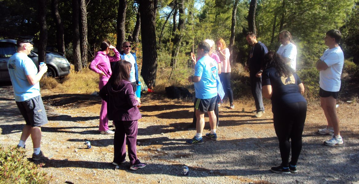
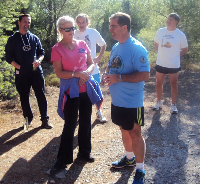
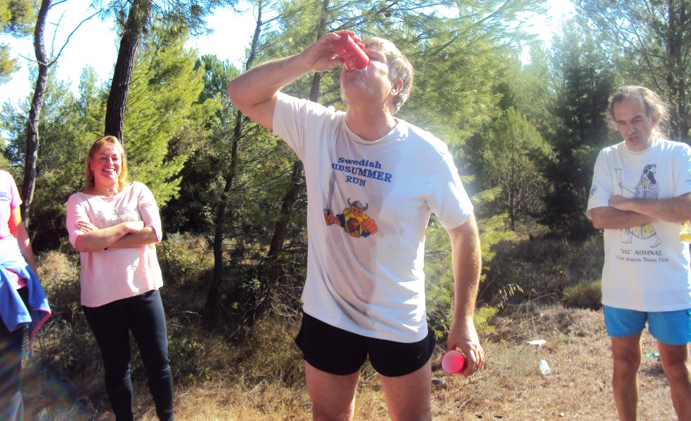
The run and walk


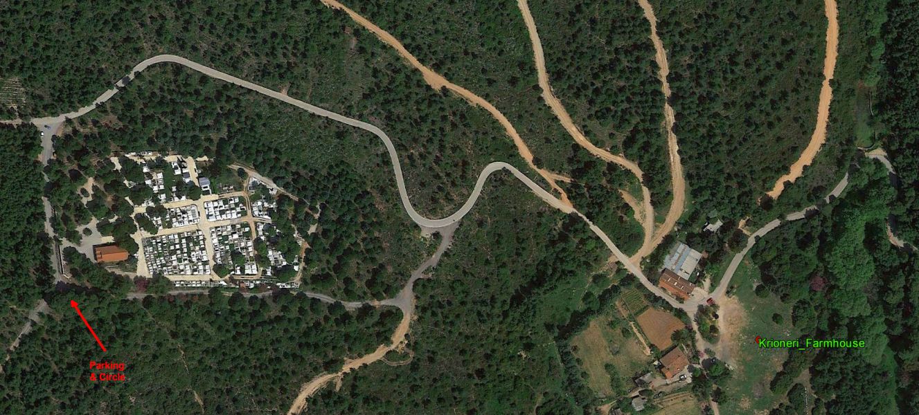
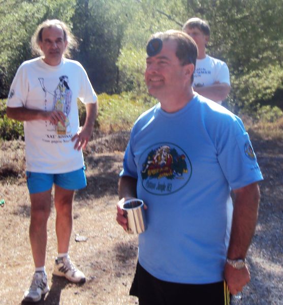
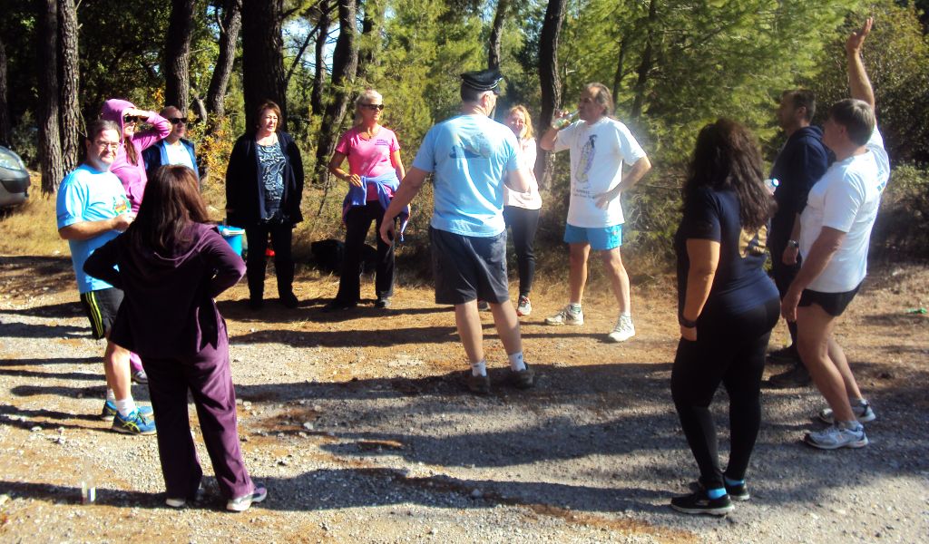
The circle

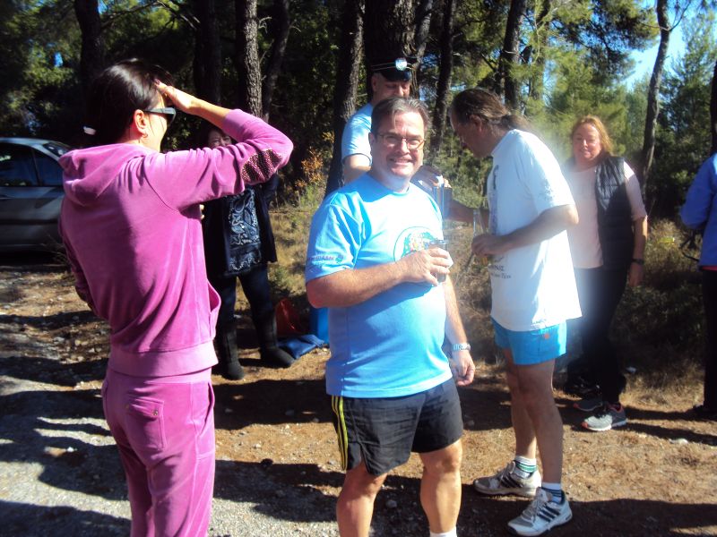
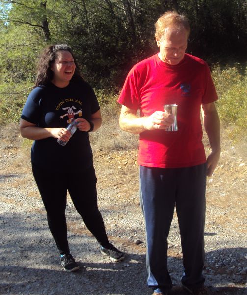
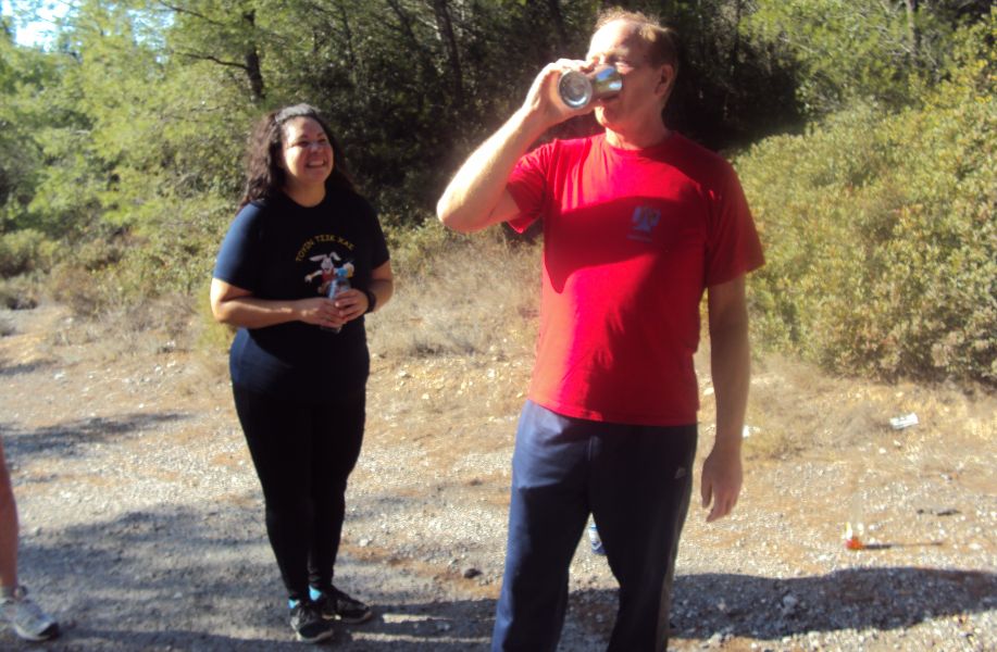
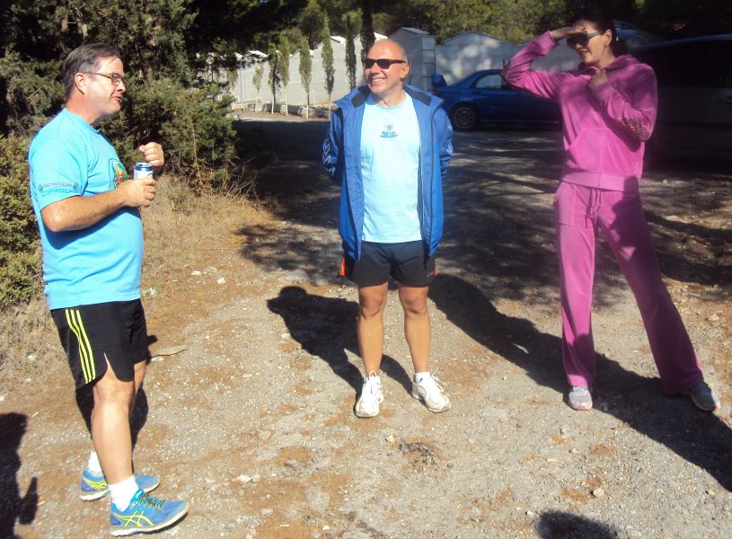
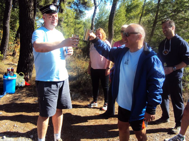
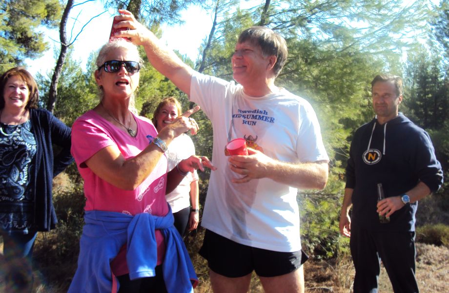
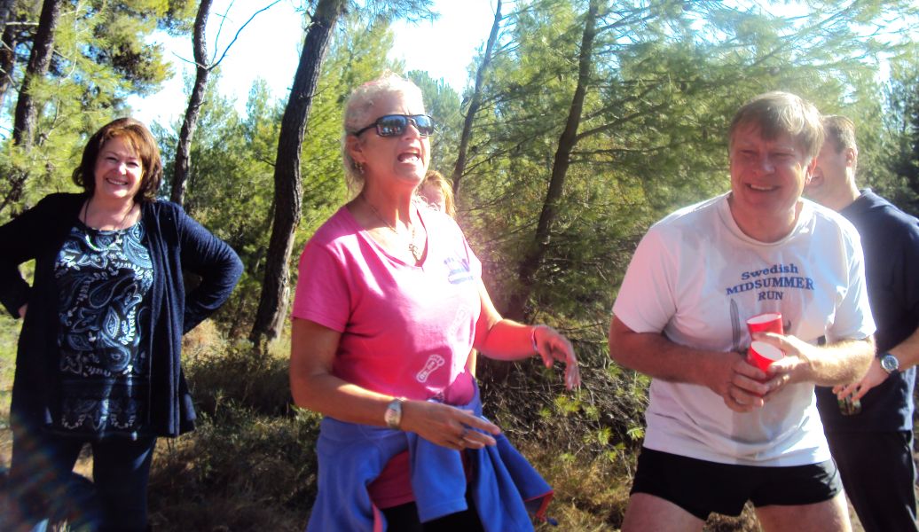
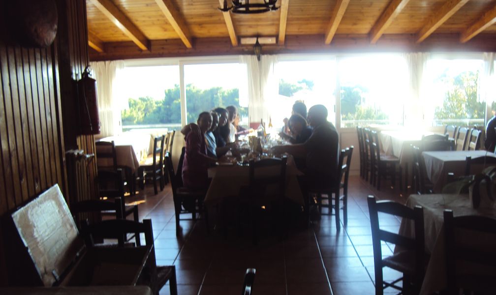
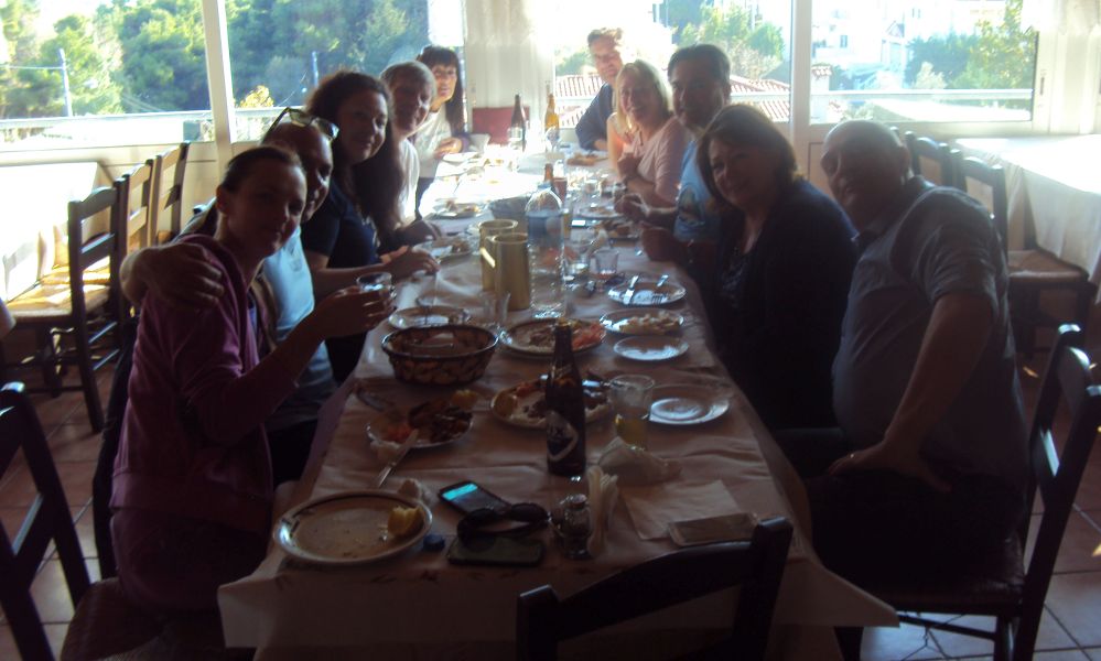
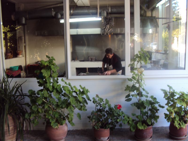
The taverna

|
DIRECTIONS
(For the record)
|
|
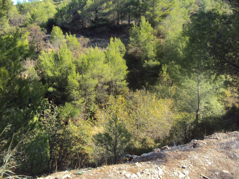
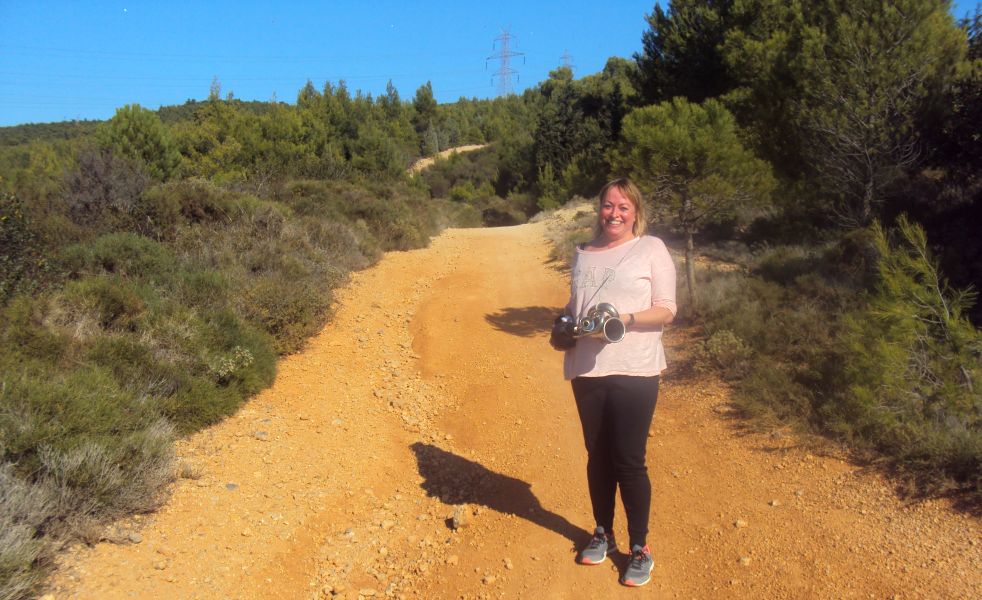
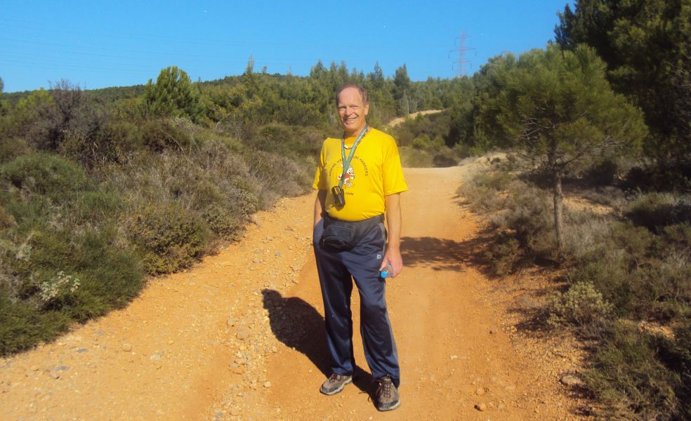
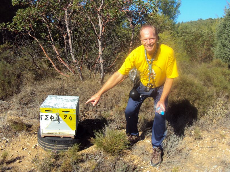
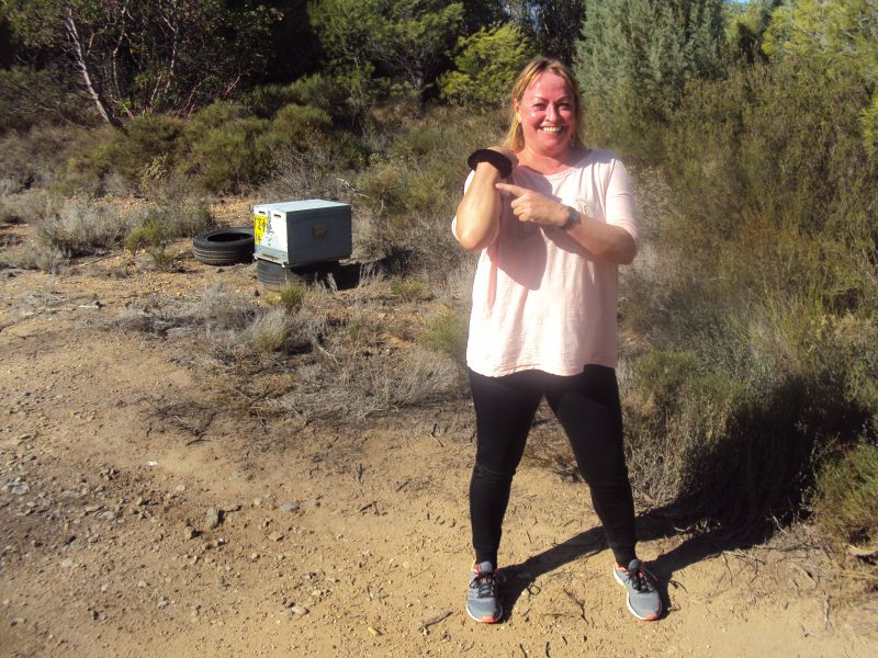
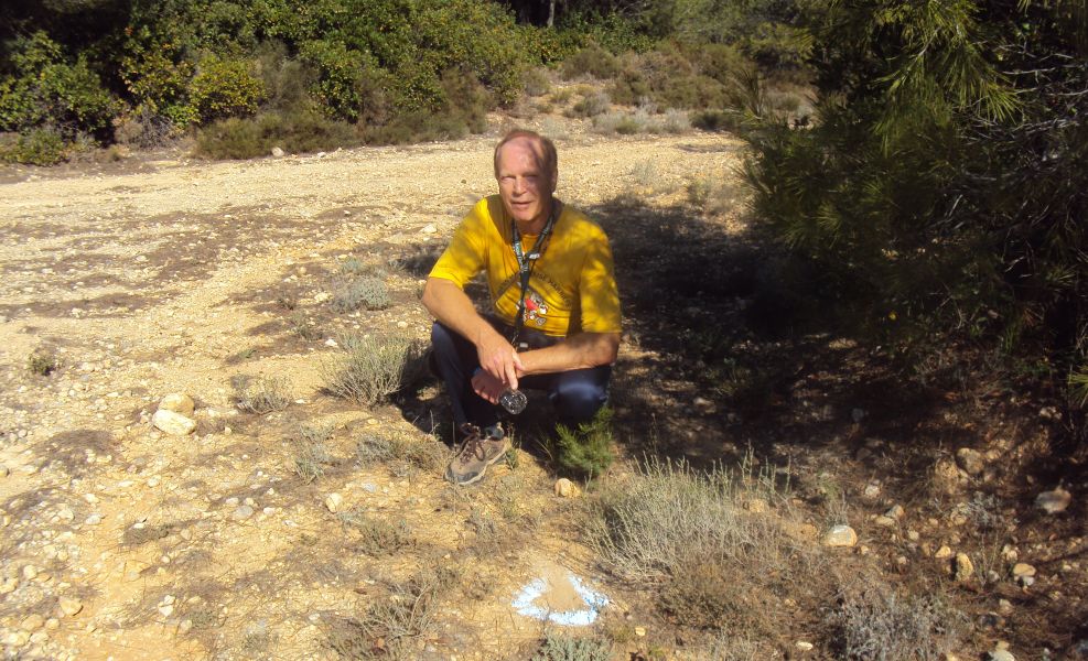
A scenic wooded area - ideal for running, walking, observing nature, fondling the local livestock, and excessive drinking DIRECTIONS: BUT DON’T STOP HERE TO FONDLE THE NICE GOATS AND SHEEP like what we usually do…. CONTINUE on this paved road following the hash signs. We’ll
meet somewhere along this road. *The farmhouse is 2.3km from the National Road exit. NOTE: The bridge under the National Road leading to Krioneri can also be reached by - driving North on Kifissias avenue and (keeping on the same road all the way and ignoring road name changes) passing through Kifissia, Nea Erithrea, Ekali, Anoixi, Ag. Stefanos. FYI: The farmhouse area GPS Coordinates are: 38° 08' 16.11" N, 23° 49' 17.42" E (or more conveniently 38.137778, 23.821389 ) Lost? Directionally challenged?? Just plain stupid??? Call the hare: MD Mobile: 693 251 1339 (but only if you are desperate)
|