|
|
Run 1948 |
5.9 km |
|
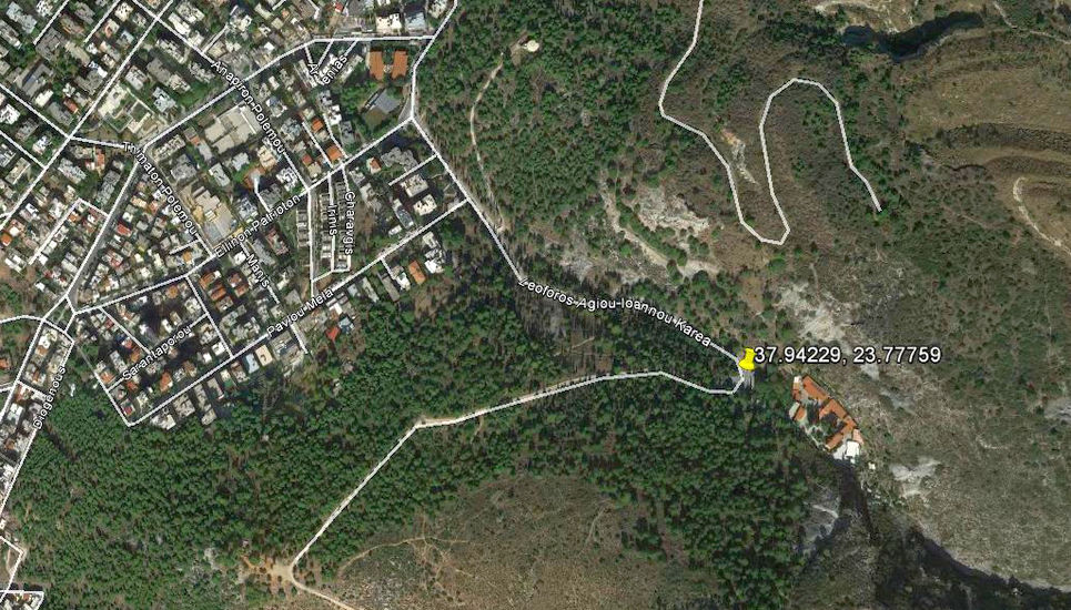
37.94229°, 23.77759° |
Photos: Mad Dog & Frosty Nuts
Runner's trail recording: Pussy Basher
The
Trail |
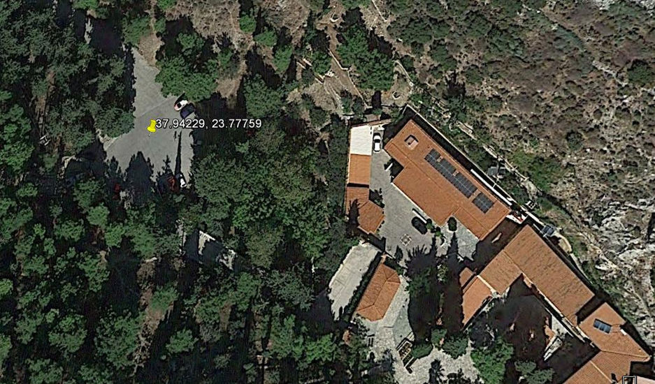
The Saint John's monastery car park and starting point.
The red monastery roofs can be seen.
Monastery and surrounding mountainside area
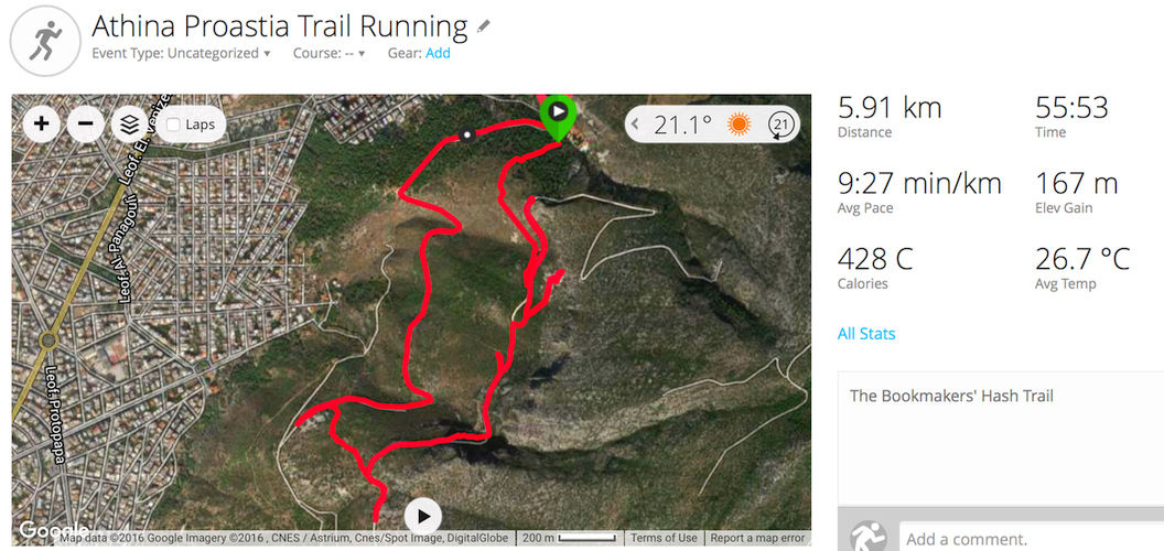
The runner's trail - recorded on Pussy Basher's Garmin GPS watch
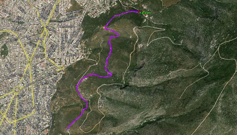
The walker's trail - 6.4 km - Recorded on Mad Dog's iPhone-4 Strava runners application
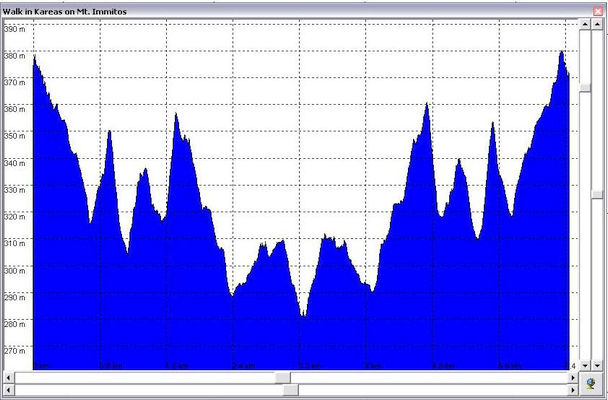
The walker's trail - altitude profile - 100m altitude change down, then back up.
Note - it looks like a mirror image because the walkers returned along the same route.
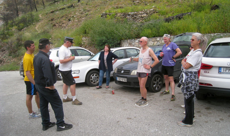
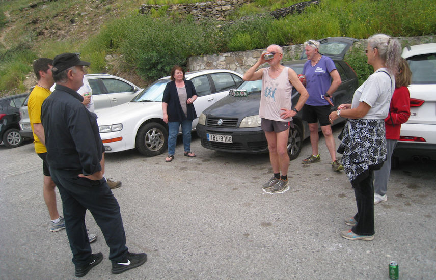
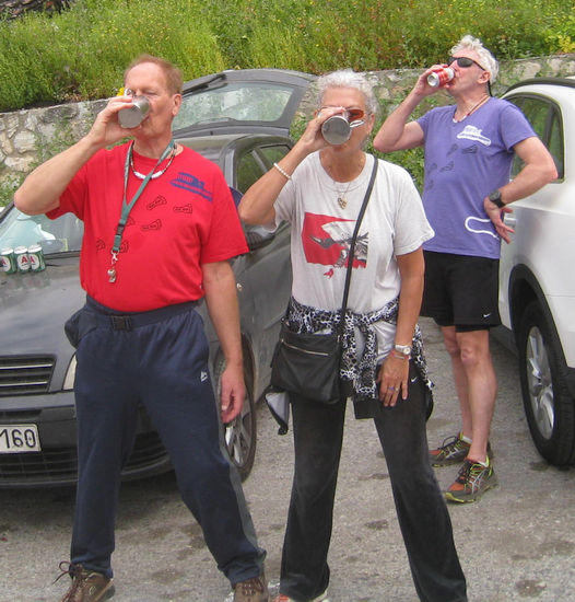
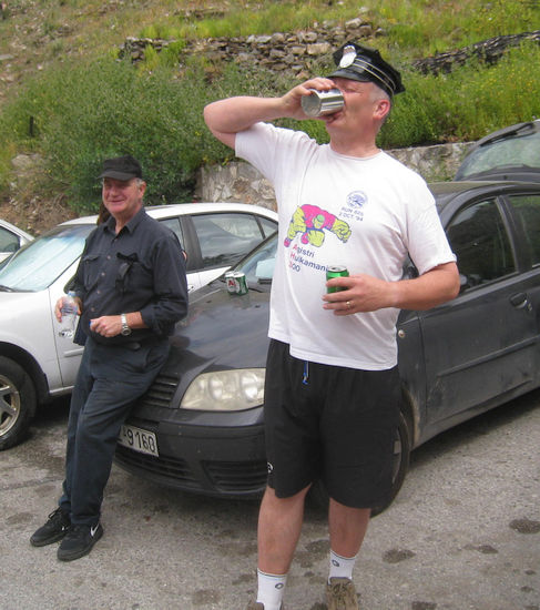
Before the run |
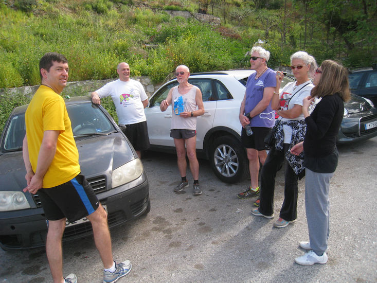
The Bookmaker gives the lowdown on his trail - and draws a check to show the start...
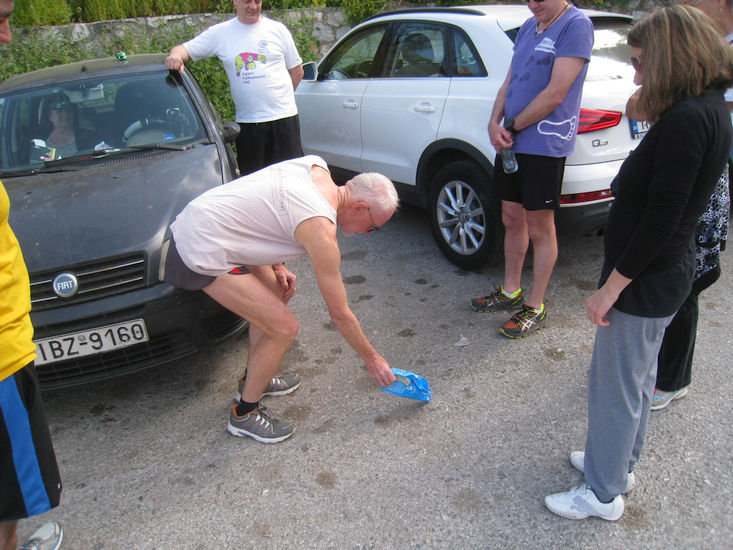
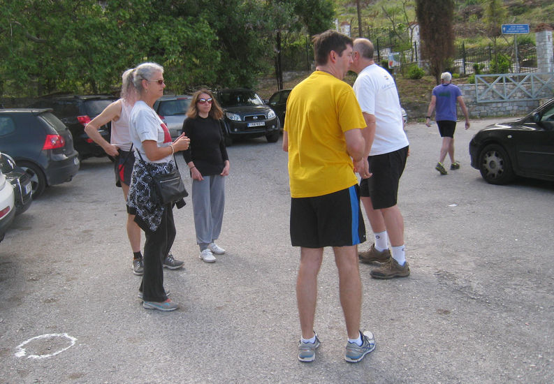
On On runners! Don't just stand there, start checking!
The
Run |
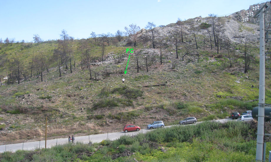
Fair Cop (FC) setting off in the wrong direction from the check.
Views from the Immitos mountainside
The sea can be seen in the distance through the haze.
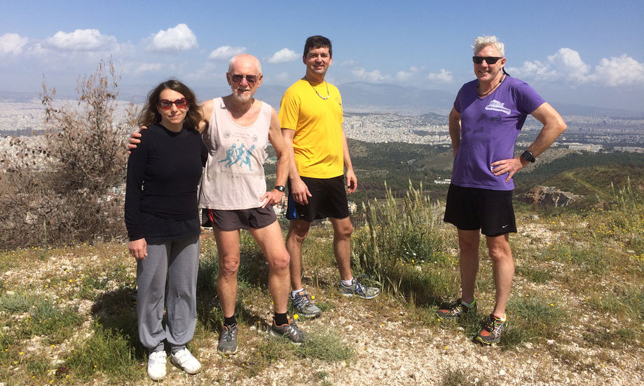
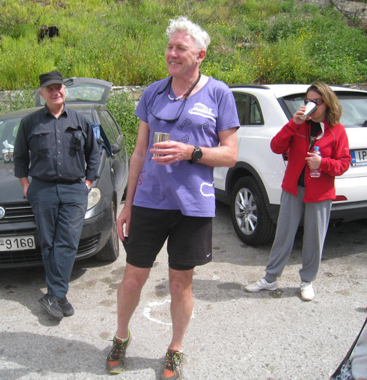
From L-to-R: Stress Cow, The Bookmaker, Frosty Nuts, and Pussy Basher with Fair Cop taking the photo
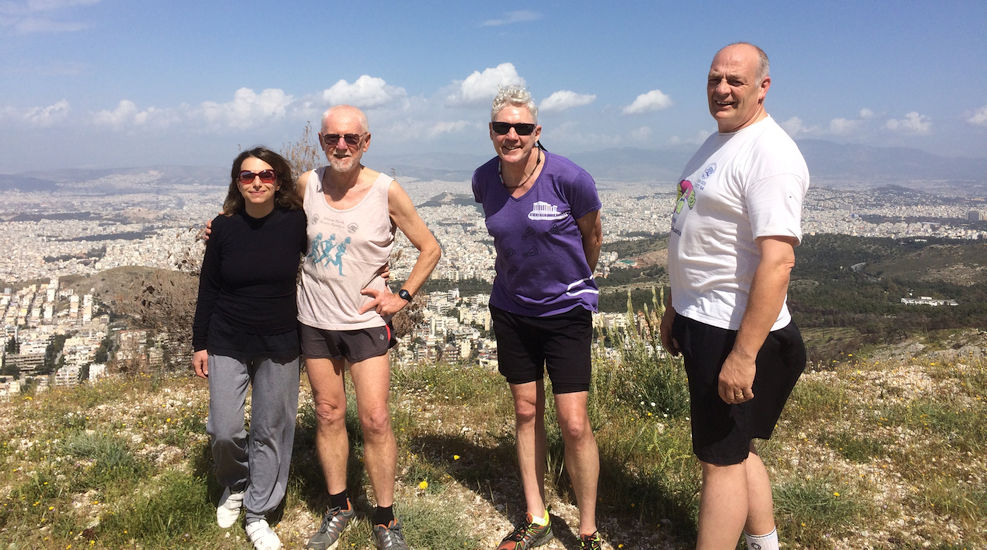
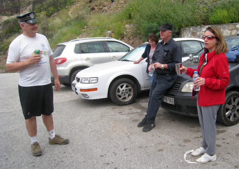
Fair Cop joins the group
The
Walk |
Measured as 6.4 km on the Strava runner's app.
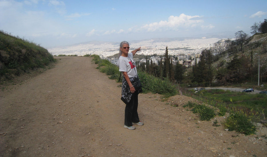
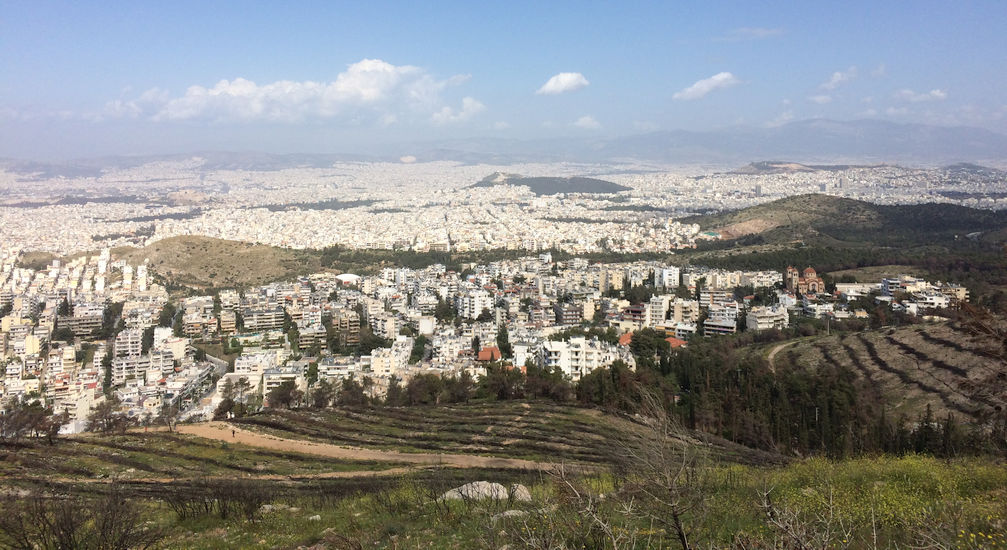
Clitoria indicates the amazing view of the sprawling city of Athens
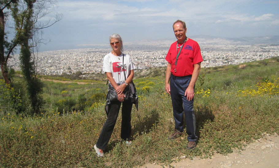
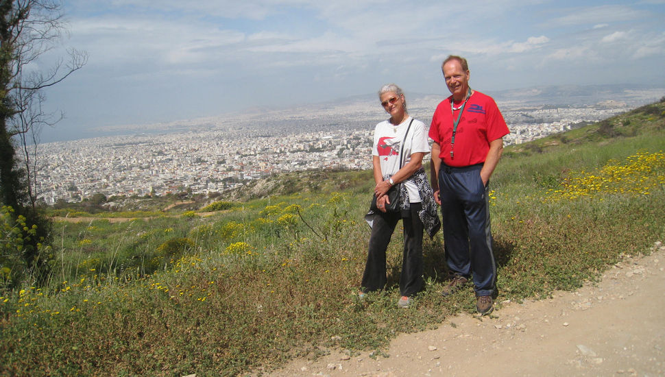
Mad Dog persuades a man out for a walk to take a photo or two showing the view behind
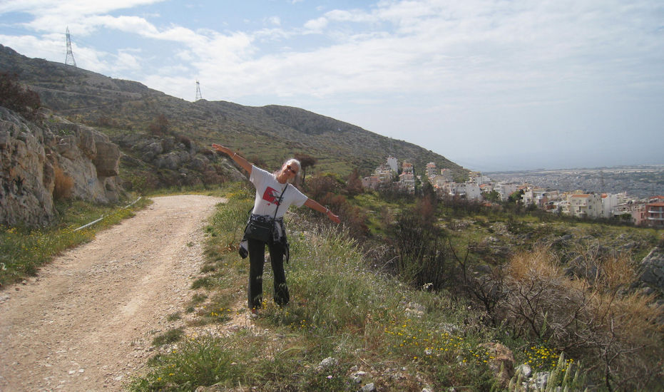
Clitoria shows the exact incline angle of the mountainside (or maybe she is preparing to fly)

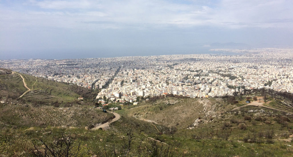
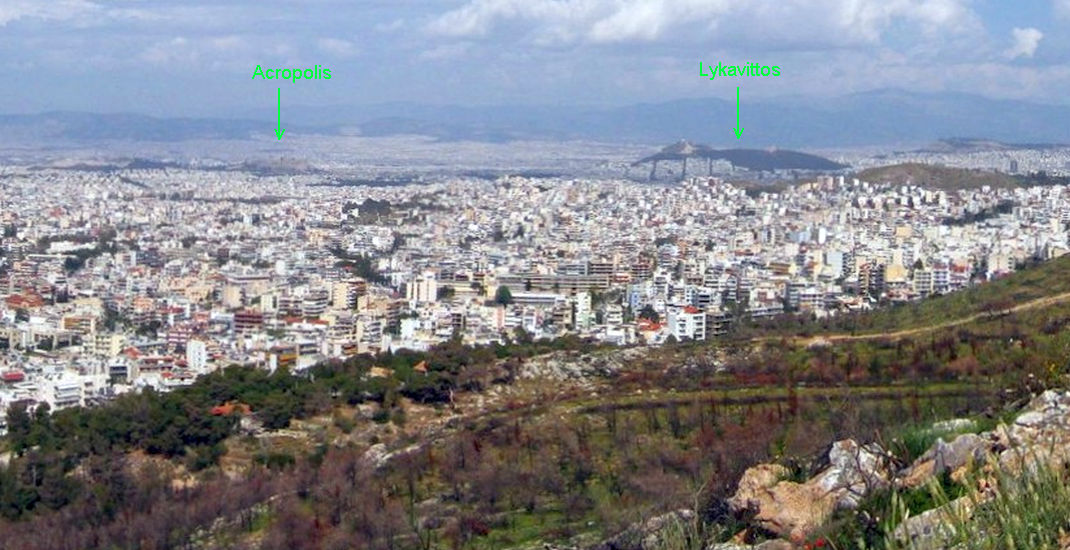
>>>>>>>> Panoramic photo >>>>>>> Scroll RIGHT for more of the view >>>>>>>>
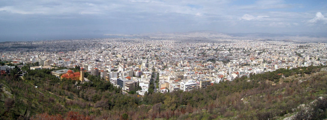
A sea of buildings with the sea in the background
The
Circle |
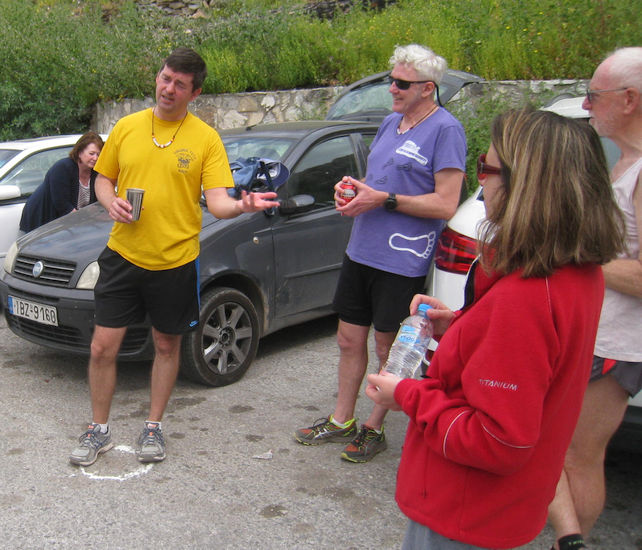
The Bookmaker has his DIO standing in his own check
The Circle. Oxymoron has now joined us.
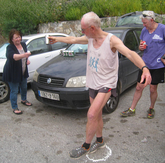
The Bookmaker demonstrates how to dance the Sirtaki
The two walkers - Mad Dog and Clitoria
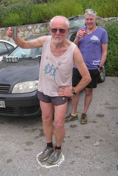
Frosty Nuts - for having his car stolen?
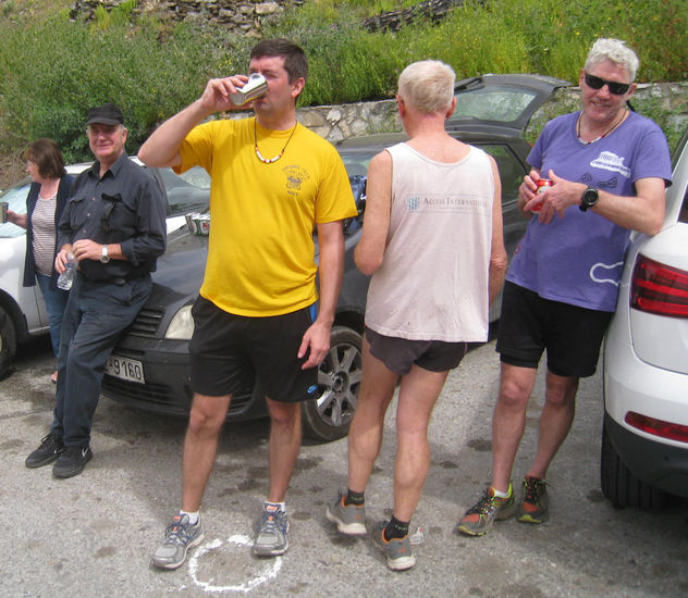
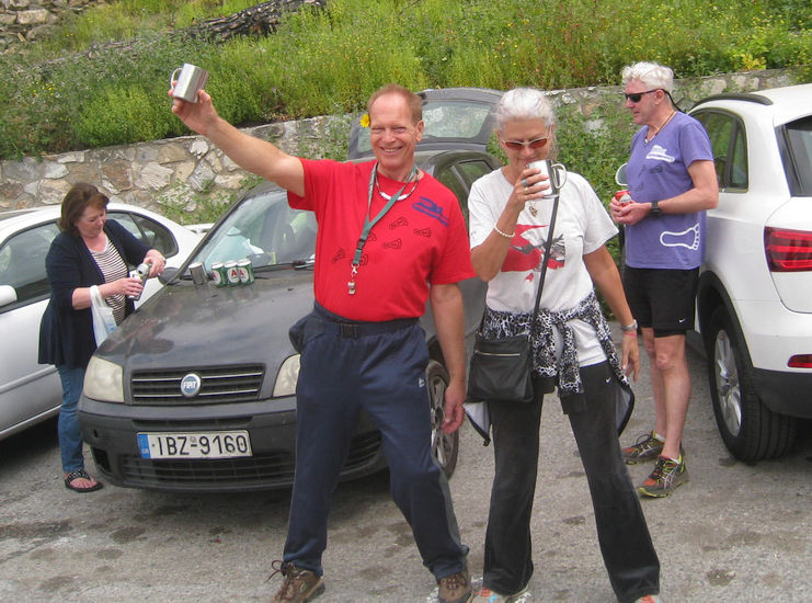
Another down-down for The Bookmaker
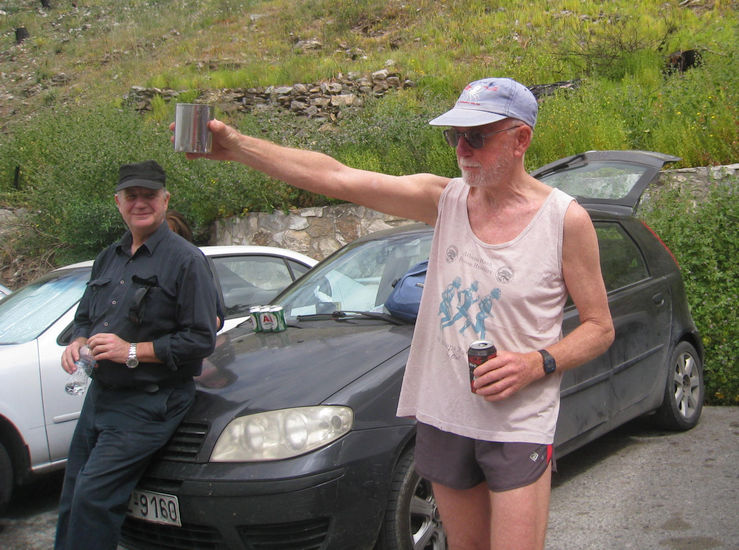
RA Fair Cop awards himself one
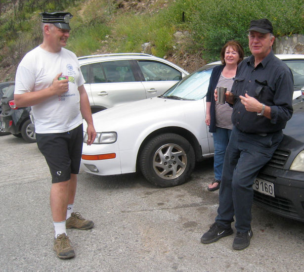
Stress Cow - where have you been - we missed you!
Oxymoron must be tired the way he is sitting on Fair Cop's car

Cheers! Oxy
Pussy Basher looks happy to have been awarded a down-down.
Running is thirsty work.
The
Taverna |
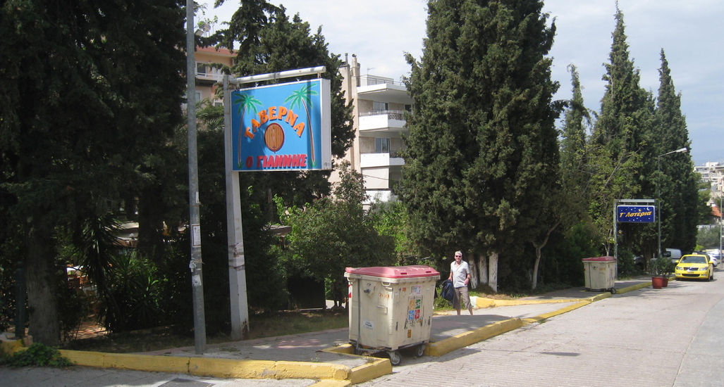
Pussy Basher is eager to get to the taverna. Must be starving too, poor fellow.
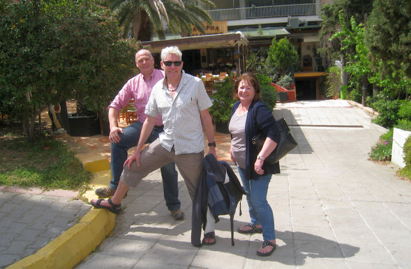
Group pose outside the Yannis Taverna - just down the hill from the monastery car park
The directions to the hash - for the record |
Sunday 10th April 2016 - 11am
Venue: Kareas (The St. John Monastery parking area)
GPS coordinates
37°56'32.23"N, 23°46'39.32"E OR in degrees only: 37.94229°, 23.77759°
Directions to the start:
From the North
Drive down Kifissias Ave, get into the sliproad on the right so as not to go under the Katehaki underpass.
Turn left over the Katehaki underpass next to the Israeli embassy.
Keep straight and you cross Messoghion Ave and continue on Katehaki ave. towards Mount Immitos.
Keep going past the turn off to Kesseriani Monastery on the right, and continue as below.
Else -
Get on the Attiki Odos and the Hymmetos ring road
Follow the ring road to the end and you are on Katehaki
(the road which goes from Messoghion Ave across Mount Hymmetos to Glyfada)
Keep going past the turn off to Kesseriani Monastery
Keep going for a km past a turn signposted "Pangrati Vyronas"
Just before the top of the hill (the end of Katechaki) turn LEFT into Kareas
This junction has traffic lights - you need to be in the left lane
After 200m the road bears to the right and 100m later to the left
Keep on this main road as it winds up through Kareas
(The road is called Leof. Agiou Ioannou Karea)
You pass restaurants, a supermarket etc.
At the end of a long straight stretch the road curves to the left and then right
You reach a point where there are trees (no buildings) on your left
Almost immediately turn into a road on the left (after 100m of trees)
There are two tavernas here - "O Ioannis" and "Ta Asteria"
Drive past these two tavernas and park at the top of this road.
NB: As the small car park at the very top of this road gets very crowded -
it might be wiser to park on the road just before/below the car park.
Coming from the South
Follow the signs for Olympic Stadium or Messoghion Ave which take you onto Katehaki
At the top of the hill, housing finishes on your left and there is a clear view of Athens
This is the start of Katehaki - the link between the South and Messoghion Ave.
Just after this (and 3 garages) turn right immediately into Kareas
This road is called Leof. Agiou Ioannou (page 163 of the Athens A-Z)
Follow directions as above
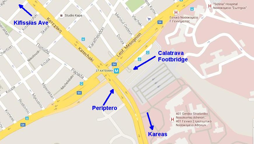
For those hashers arriving by metro - the pickup point was the Katehaki metro stop (at the Kiosk or Periptero in Greek)