|
(Southern Athens) |
|
Google elevation: 118 metres Trail length: 4.3km |
|
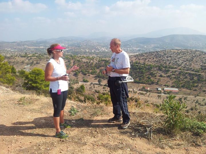
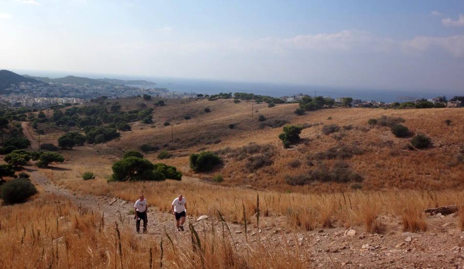
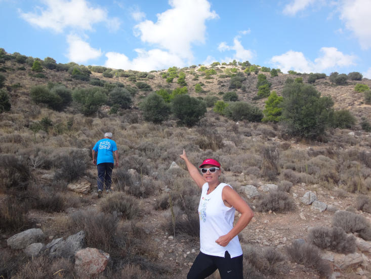
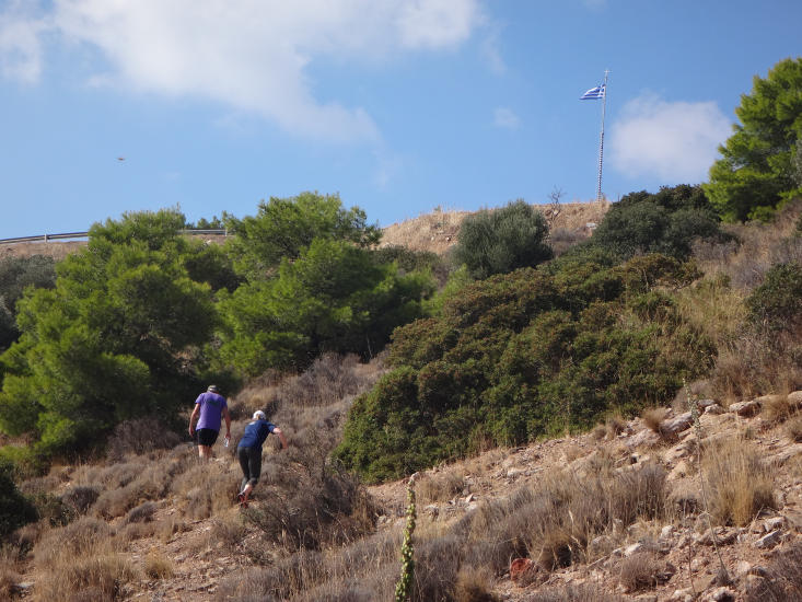
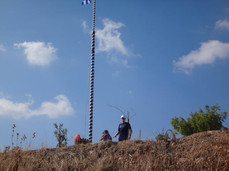
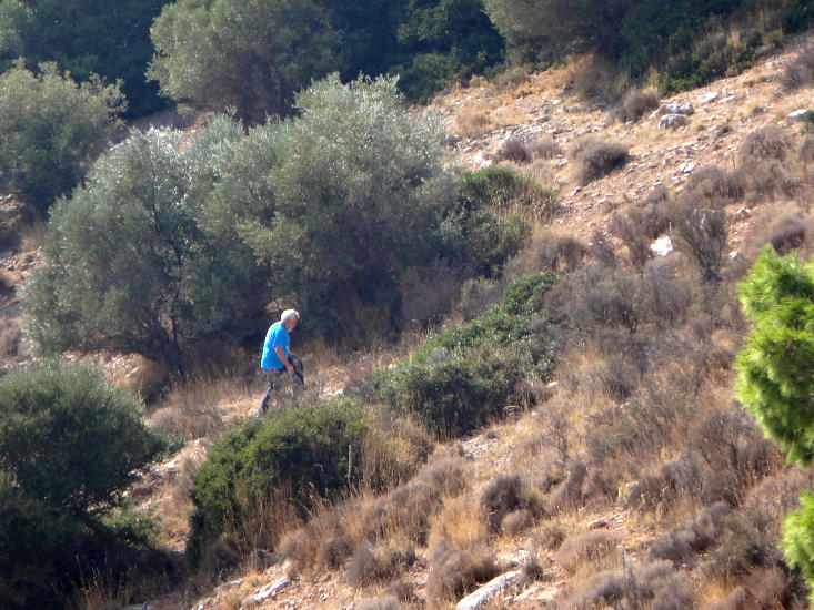
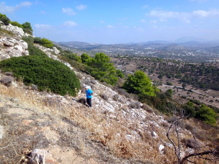
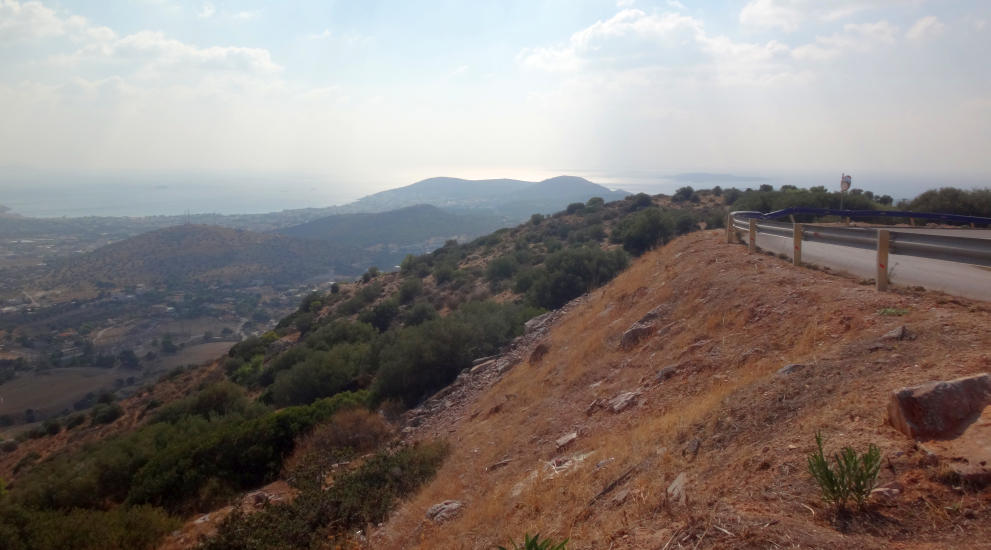
The
Trail |
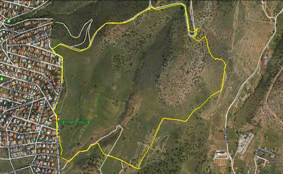
The trail went counter-clockwise
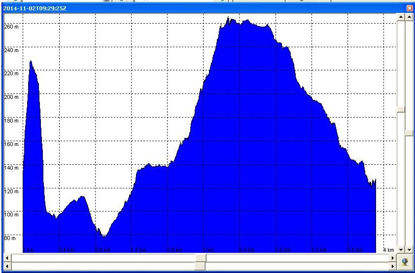
Altitude profile (280m - 80m = 200m vertical range)
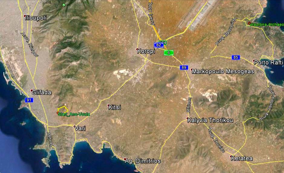
From 26 km up
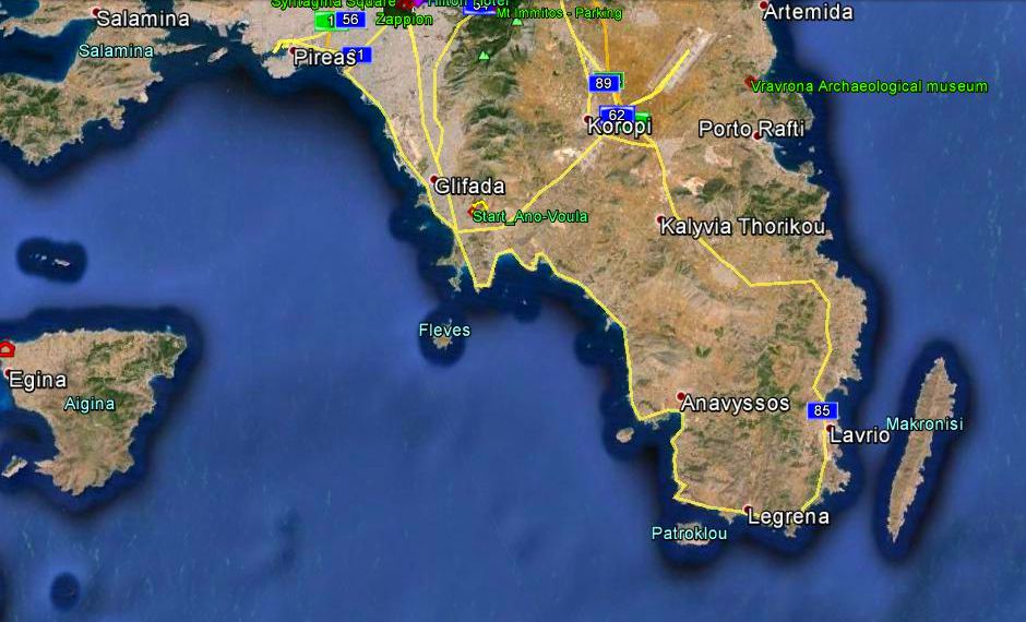
From 65 km up
|
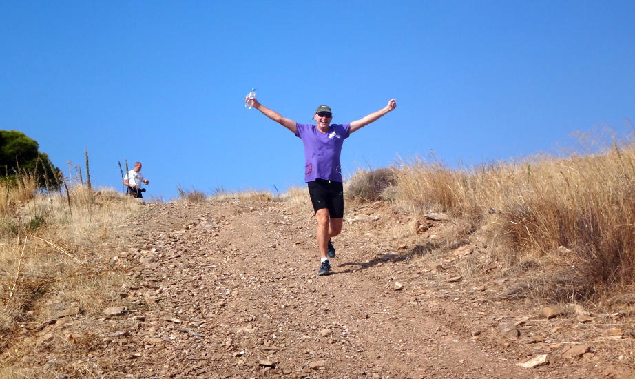
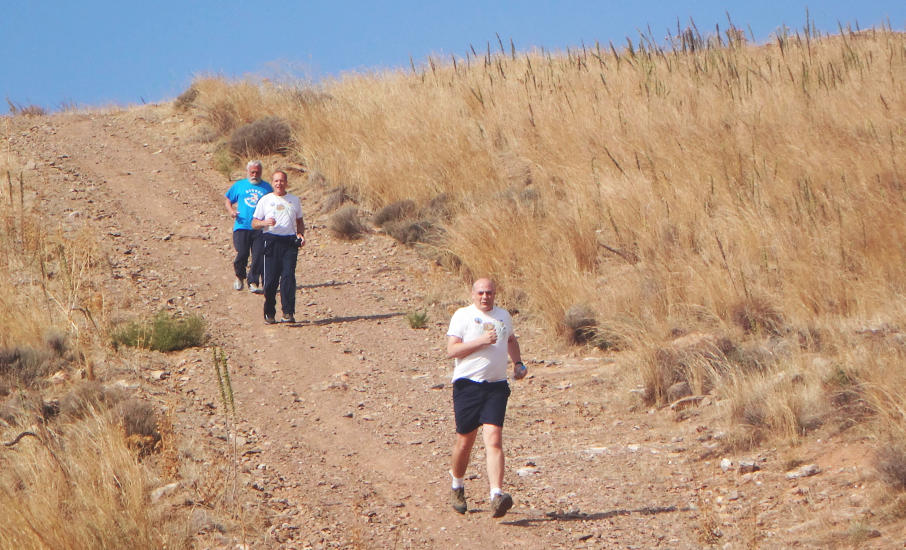
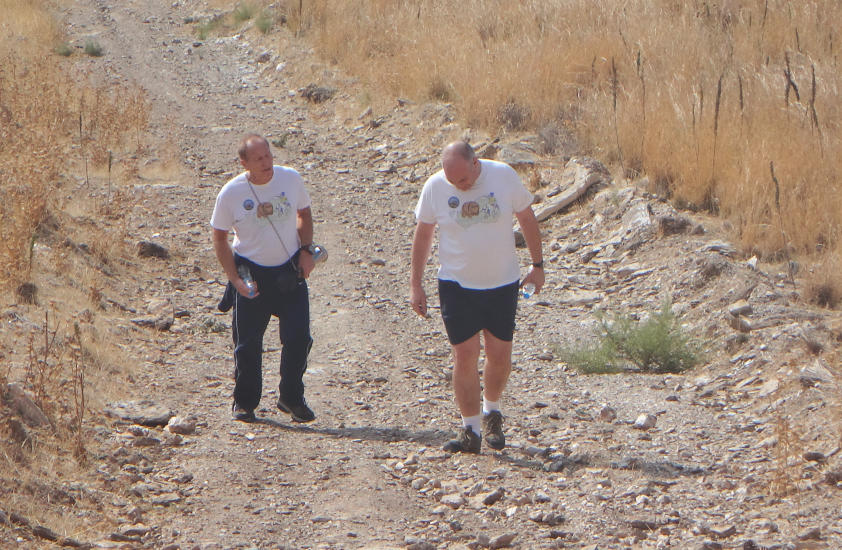
The
Run |

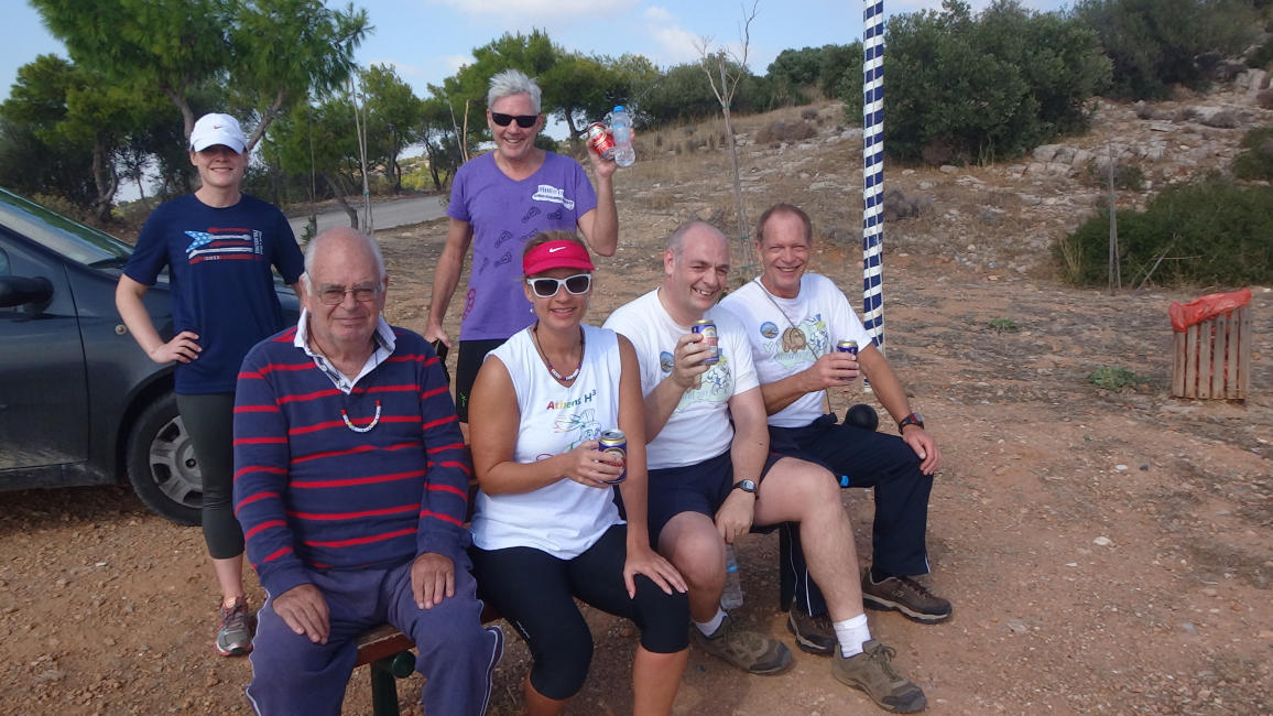
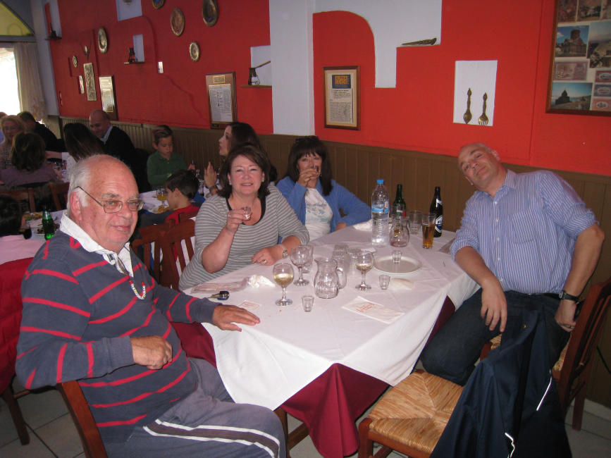
The
Circle |
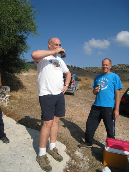
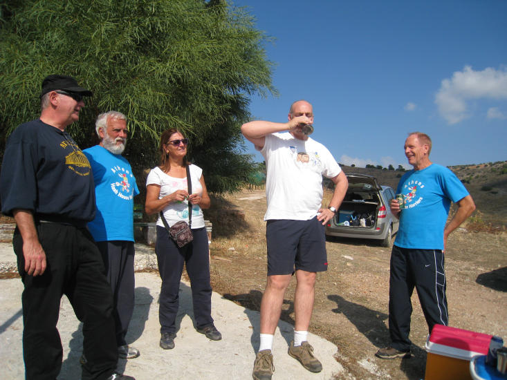
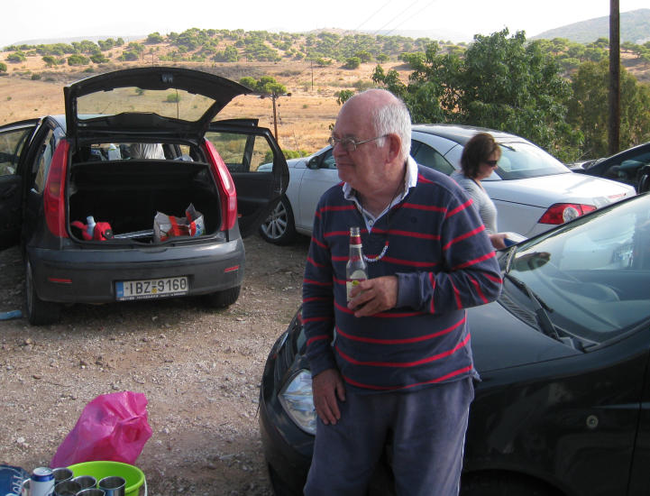
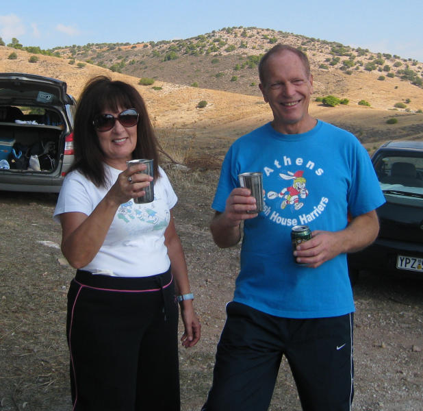
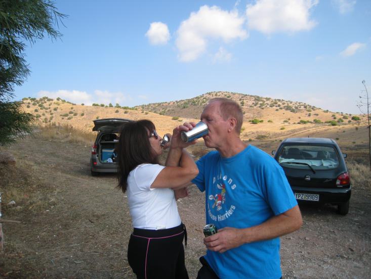
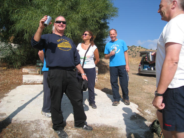
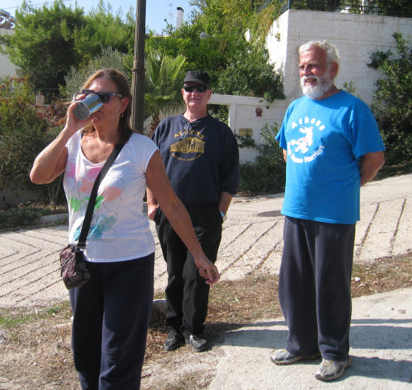
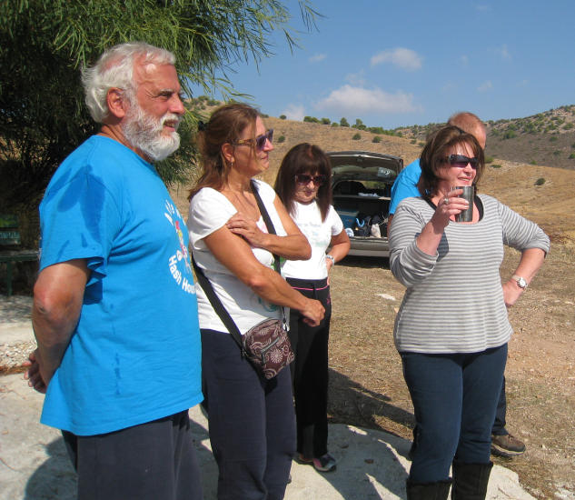
Can I join in the circle? Could really do with a beer right now!
|
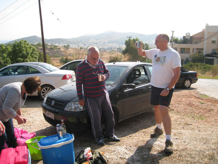
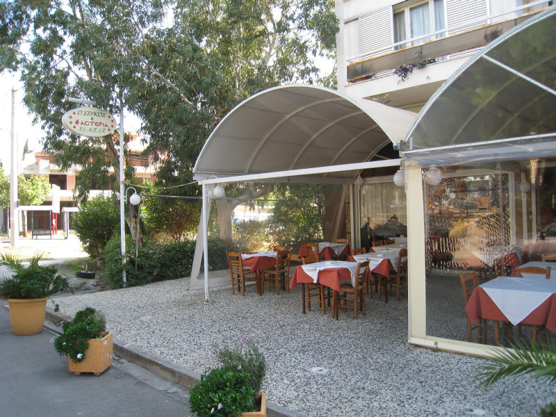
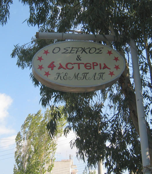
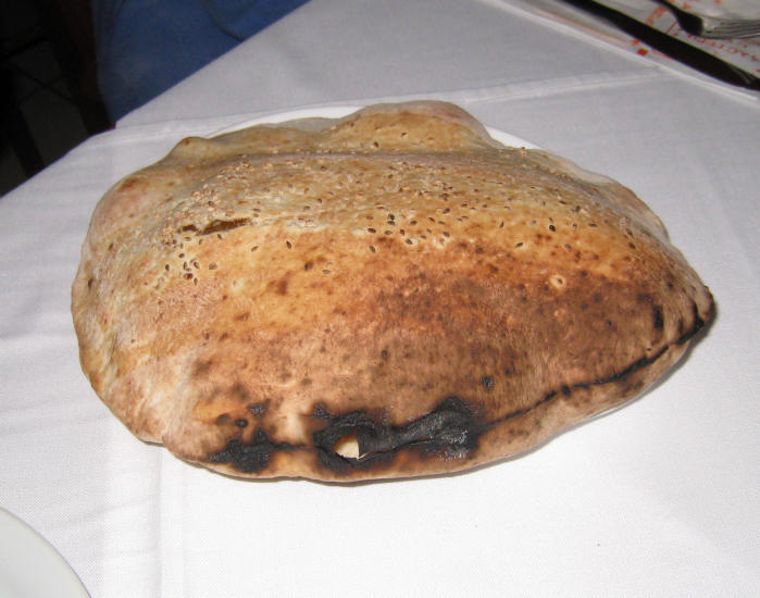
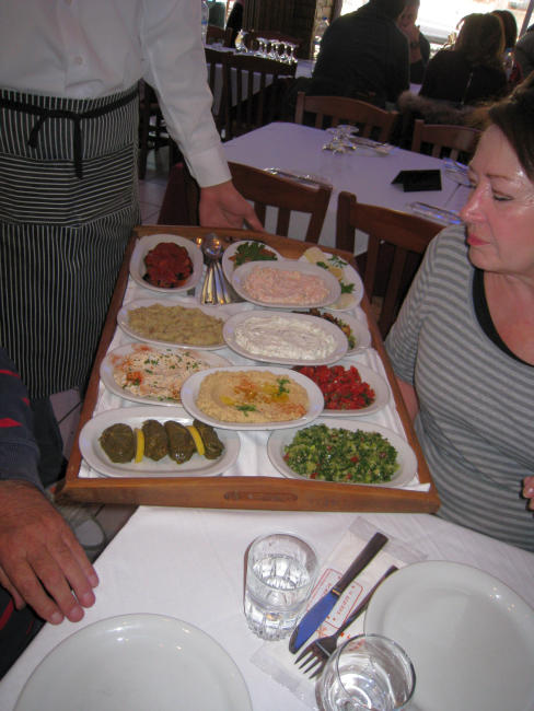
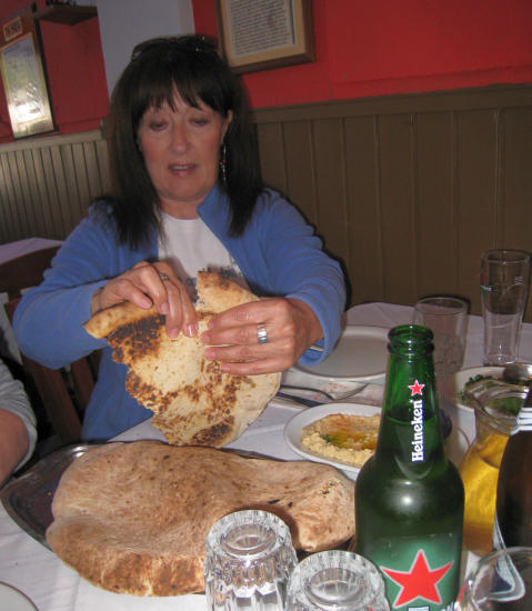
The
Taverna |

The directions to the hash - for the record |
Sunday November 2nd – 11am
Hare[s]: Fair Cop and Hamish McTavish Esq.
Venue: run starts in ANO VOULA
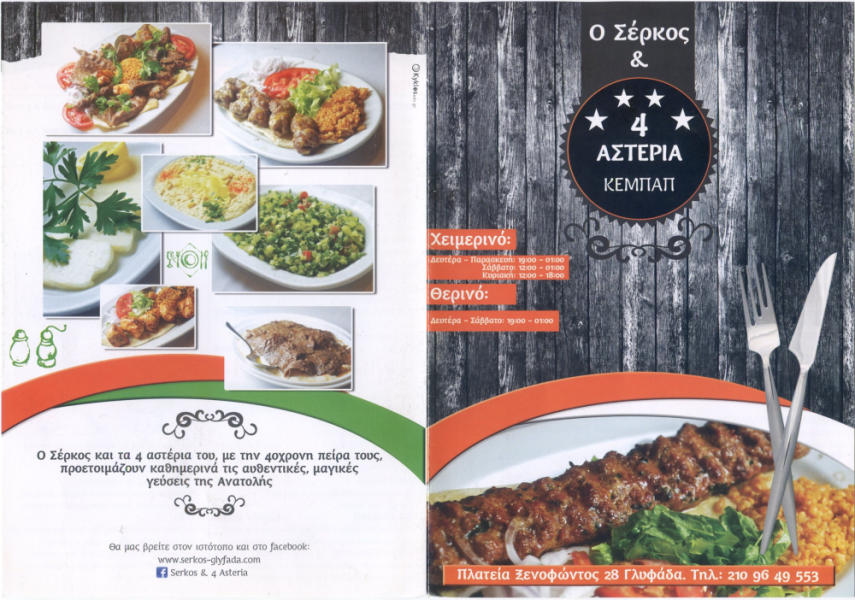
On Inn: a local culinary establishment
Directions:
Start is on Rodou street, in Ano Voula
Coming from the airport:
Take the road signposted for Vari . After passing the street full of grill restaurants, turn right at the traffic lights signed for Athens-Glyfada.
After 0.6km , turn right at the lights onto Athinaidos. Go the full length up Athinaidos (about 1 km) and turn right at the top.
Follow this road to the end and turn left. This is Rodou. We meet here.
Coming from Leoforos Vouliagmenis:
Look for the left turn signed for the airport. Turn left at these lights. After 0.9km, you want to turn left at the lights, but aren’t allowed to! So turn right at the lights, do a U-turn and cross legally. This is Athinaidos. Go the full length up Athinaidos (about 1 km) and turn right at the top.
Follow this road to the end and turn left. This is Rodou. We meet here.
For Sat-Navvies
37°50'44.60"N , 23°47'4.51"E