|
|
Run 1883 |
5.75 km |
|
38° 08' 16.11" N, 23° 49' 17.42" E |
Photos: Mad Dog + Captain Sumo. Web page: Mad Dog
The
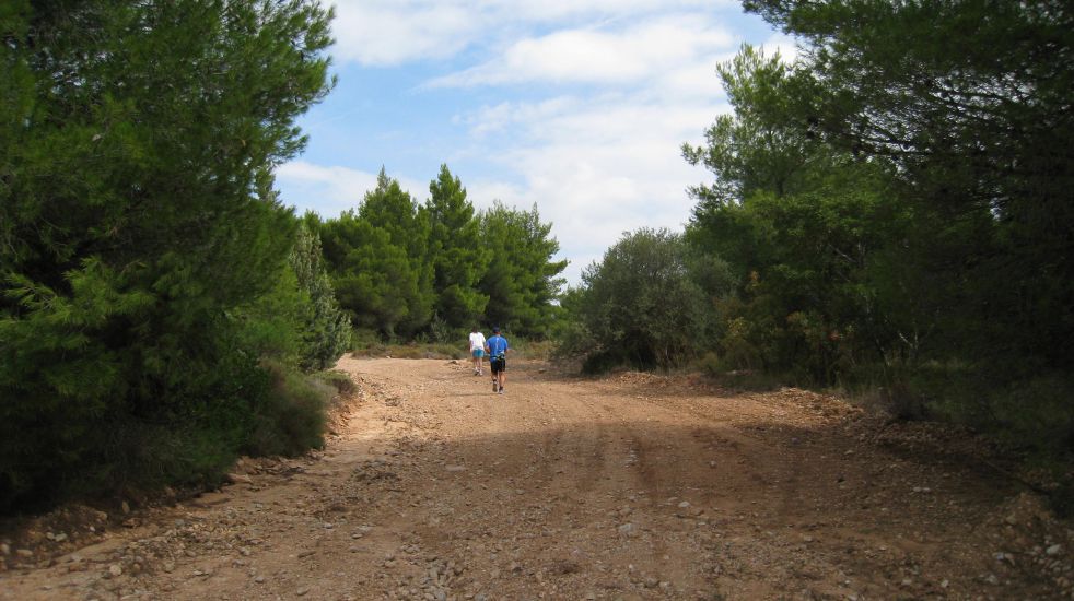
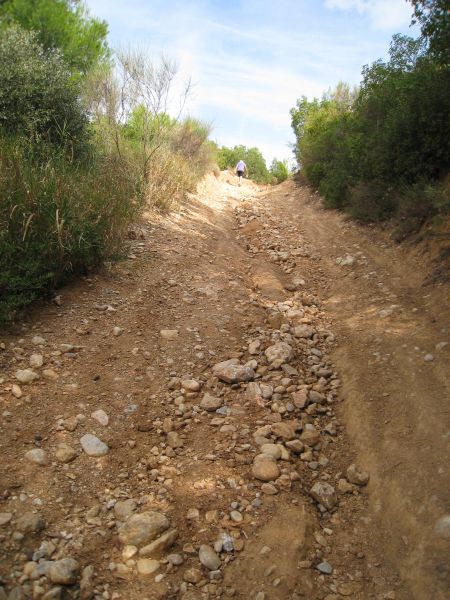
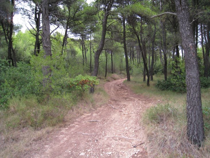
Trail |
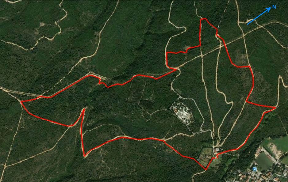
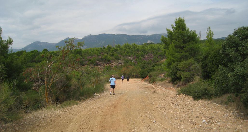
The runner's trail went clockwise starting and ending at the farmhouse (bottom right)
The walkers took the main road (Leof. Krioneriou) that can be seen winding past the cemetary.
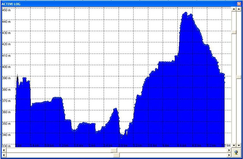
Altitude profile of the trail (Lo 338m, Hi 446m - a vertical range of 108m)
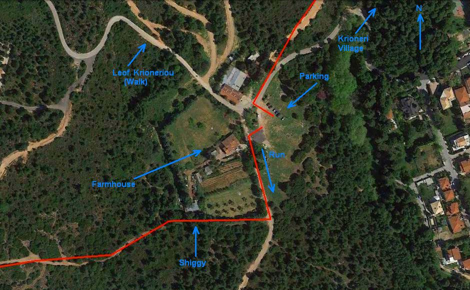
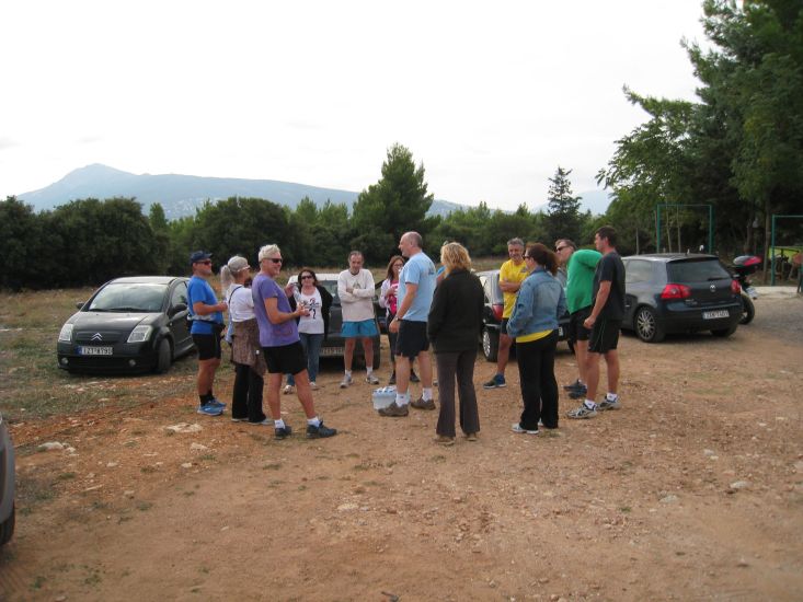
View of farmhouse, parking, etc.
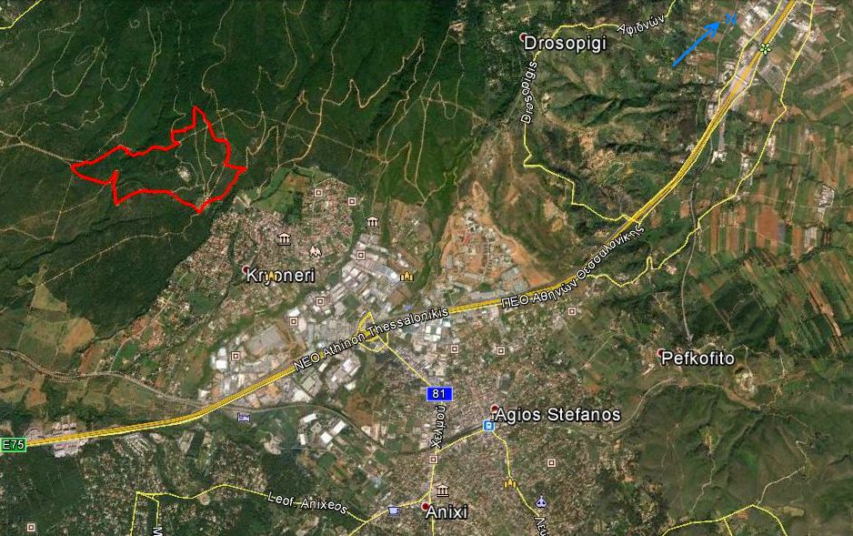
View of trail and surrounding villages from 8 km up
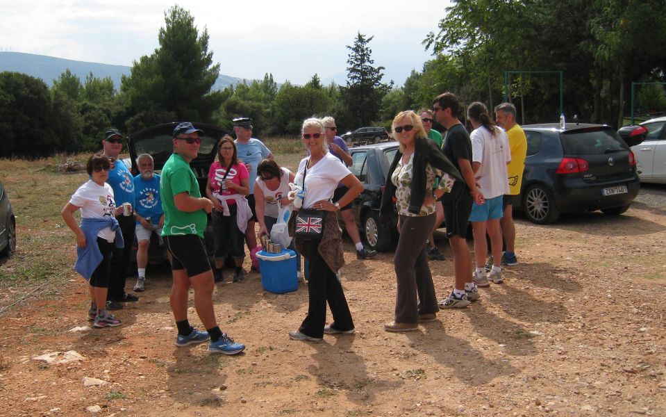
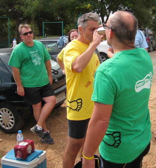
Before the run |

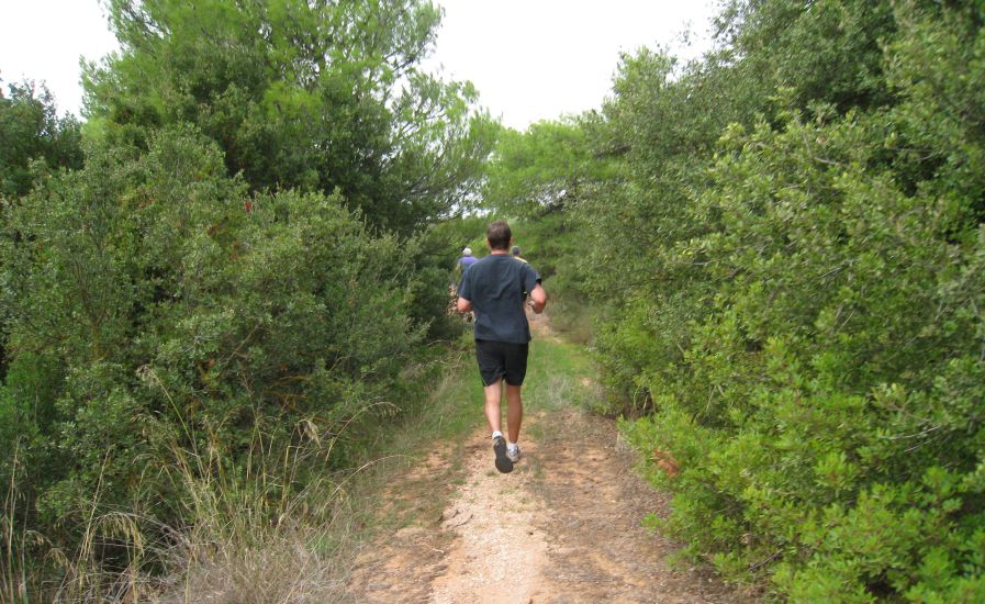
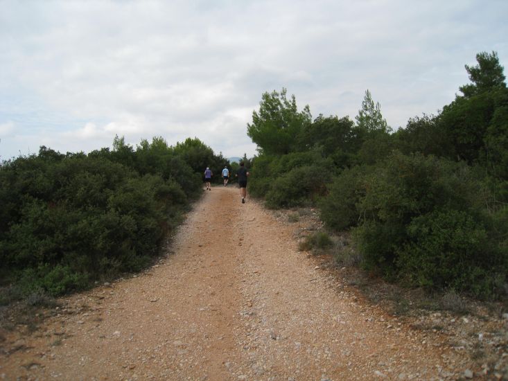
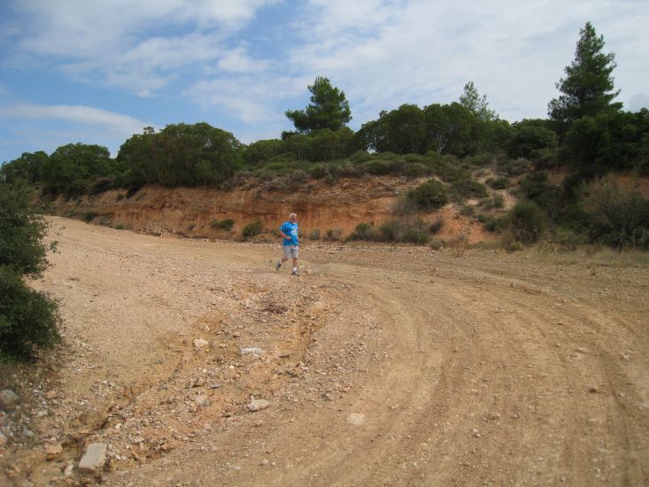
The
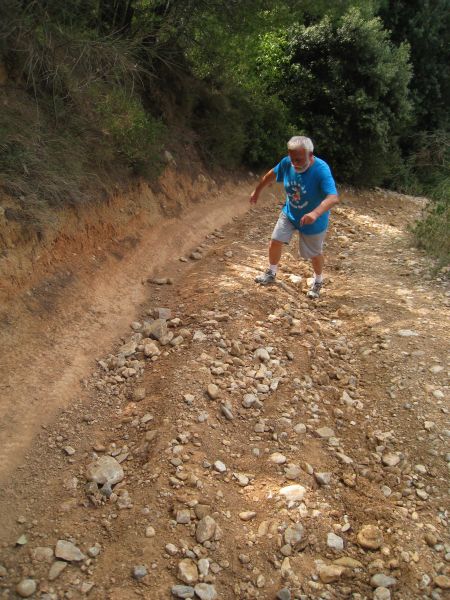
Run |


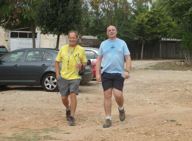
Mad Dog & Fair Cop arrive together
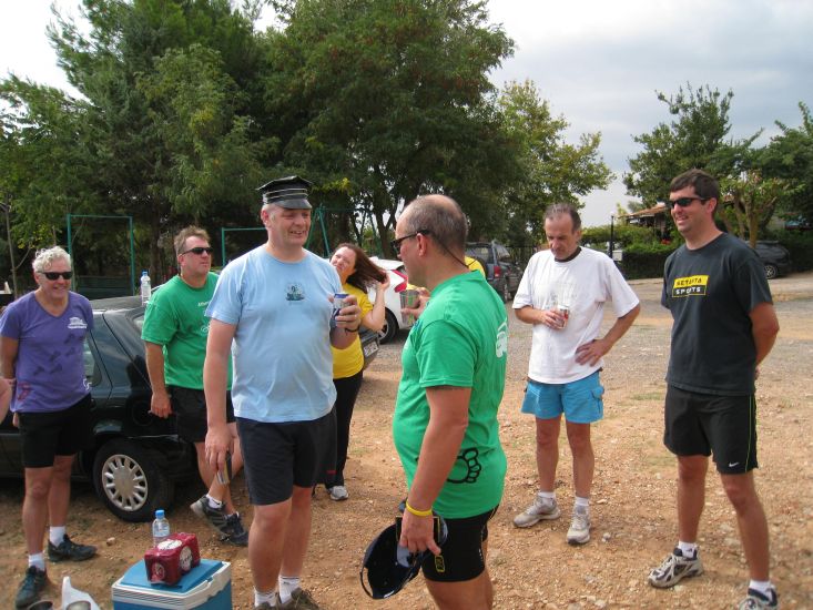
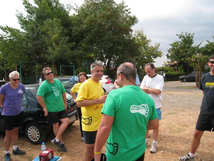
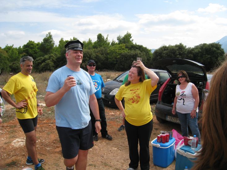
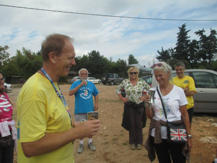
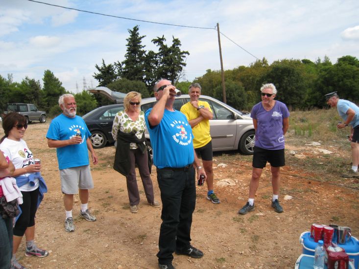
The
Circle |
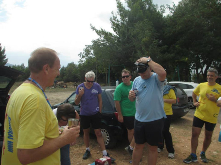
The hare's down-down

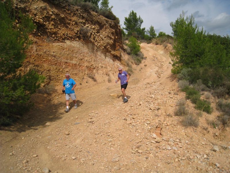
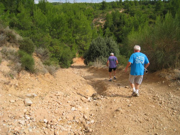
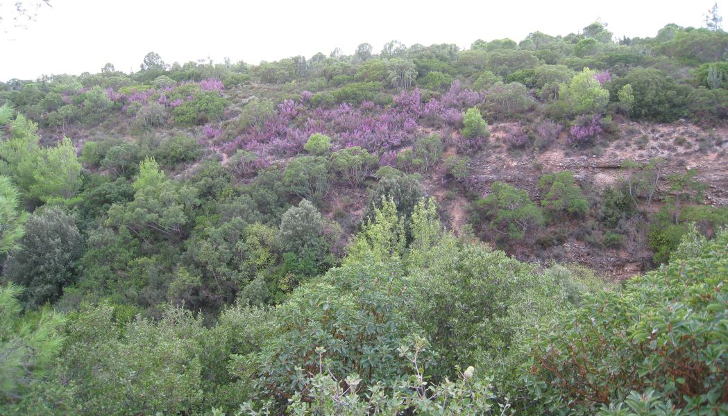
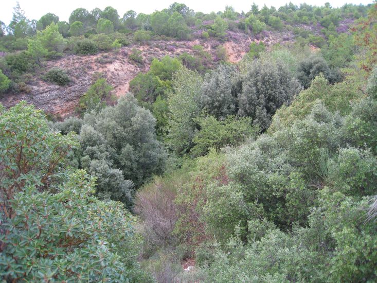
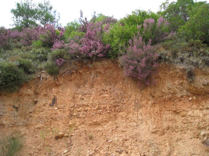
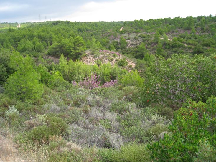
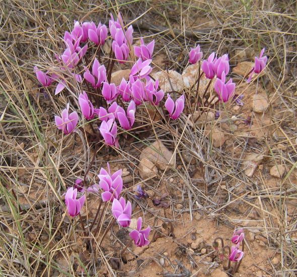
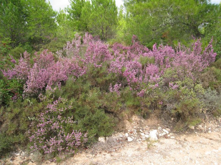
Photos taken of this scenic area while laying the trail |
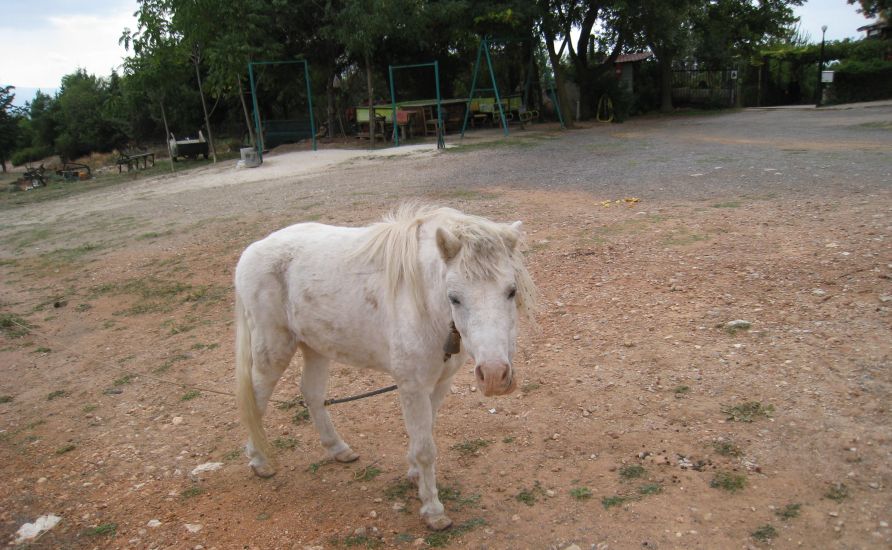
Hello! Where's your sheep friends today?
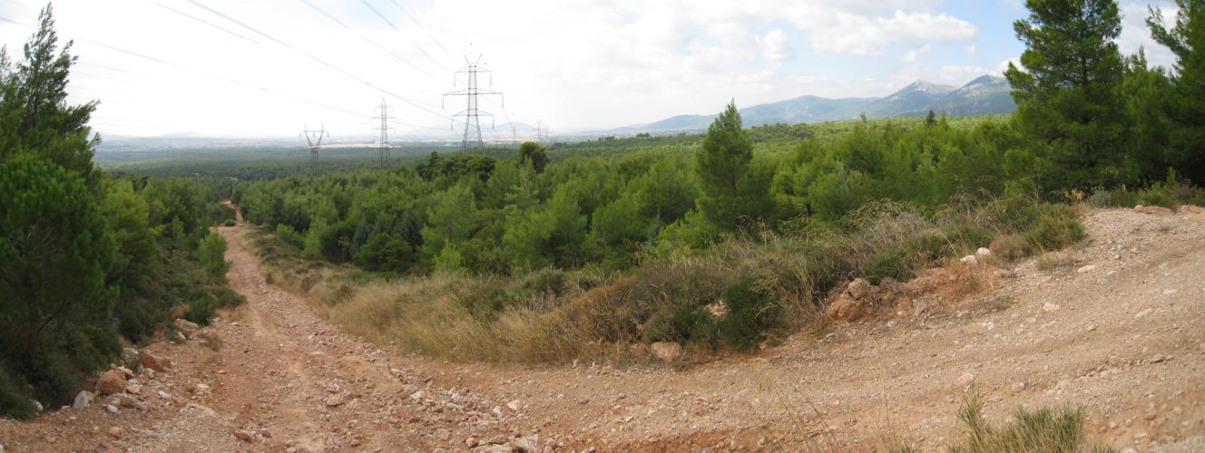
>>>>> Panoramic view - Scroll right >>>>>

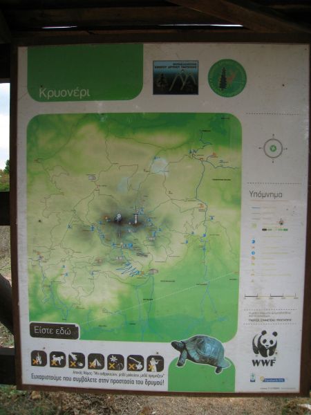
Info board near the parking area
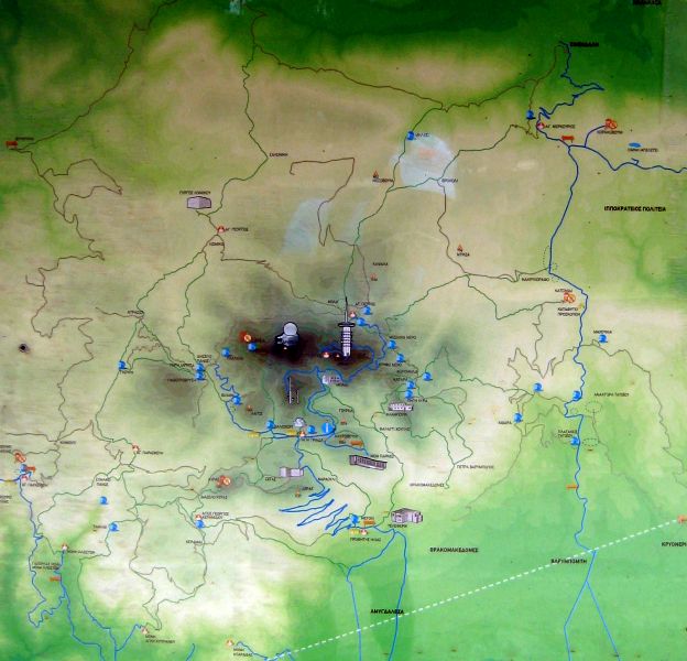
Photo of map of Mount Parnitha and surrounding areas
Krioneri is located bottom - right
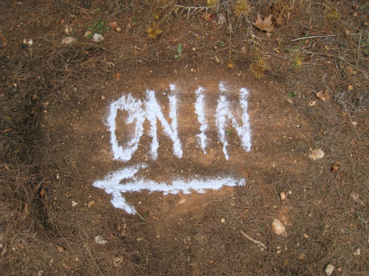
The directions to the hash - for the record |
Date: Sunday 5th October 2014 - 11am
Run: #1883
Hare: Mad Dog
Venue: Krioneri (Farmhouse)
DIRECTIONS:
Get on the National Road (Ethniki Odos) as if going to Lamia
Continue North past the exits for Kifissia (traffic lights) and Varimbobi (flyover).
Turn off at the next exit North of Varimbobi
(This is signposted for Aghios Stefanos and Krioneri)
At the end of the exit slip road, turn LEFT and go under the bridge (signposted to Krioneri)
Zero your odometer here*
Follow this road for 1.5km or so and you come to Krioneri village
Follow the windy road THROUGH the village and out the other side
You go downhill for 50m and then up
You then come to a farmhouse on your right (2.3km)
We meet at an open space opposite this farmhouse
(this is on the back road from Krioneri to Tatoi and Varimbobi)
*The start point is 2.3km from the National Road exit
NOTE: The bridge under the National Road leading to Krioneri can also be reached by - driving North on Kifissias avenue and (keeping on the same road all the way and ignoring road name changes) passing through Kifissia, Nea Erithrea, Ekali, Anoixi, Ag. Stefanos
GPS Coordinates are: 38° 08' 16.11" N, 23° 49' 17.42" E
Just look for the shepherd and his flock of sheep :-)
MD Mobile: