|
|---|
Hares: Wet Dream & Fair Cop |
GPS: 37°59'11.19"N, 24° 0'51.16"E Trail length: 6.93 km Starting point altitude (Google Earth): 4m |
Web page: Mad Dog |
- T H E L O C A T I O N -
Start location is close to an organised beach (and a church) - see the umbrellas on the sand
Artimida is the ancient name for the area (now called Loutsa) and is still used.
- T H E R U N -
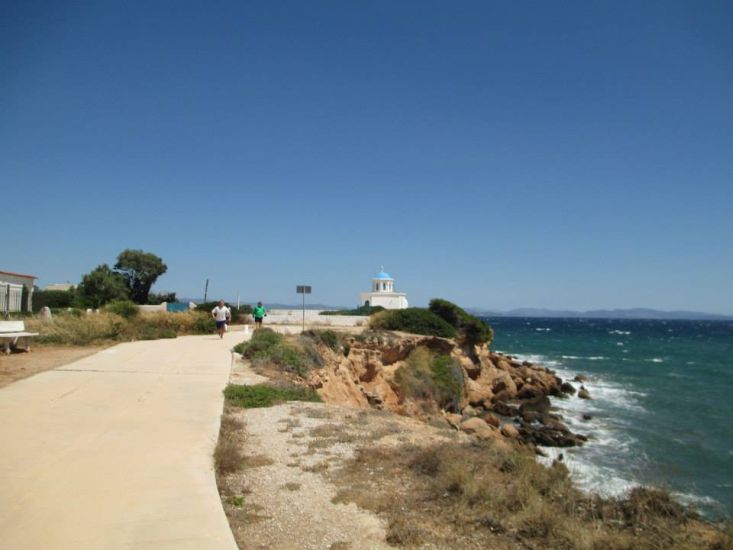
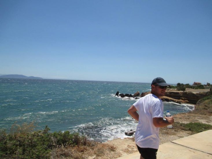
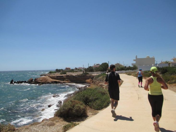
The runners set off. The coastline here is mostly rocky and scenic.
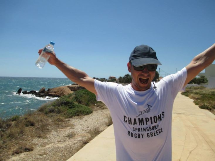
Our (French) rugby player Teeny Boner
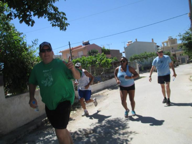
On On!
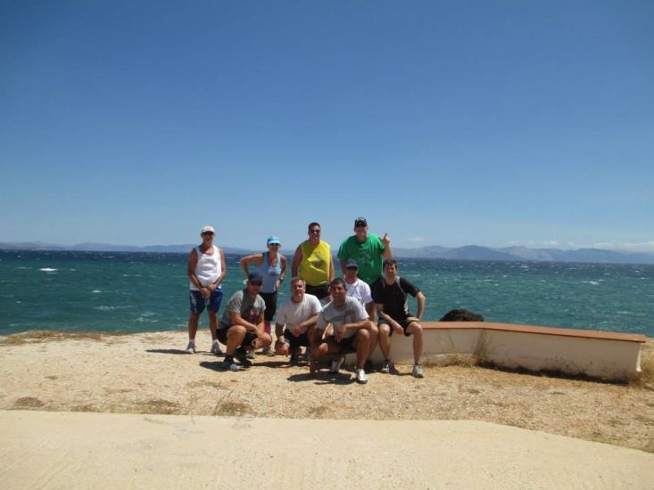
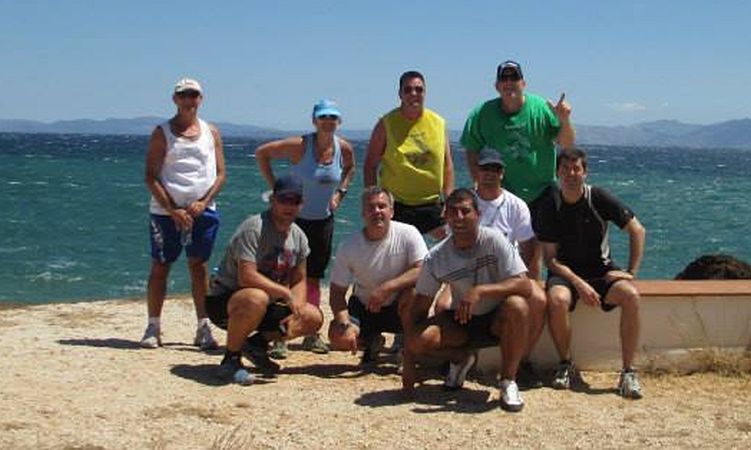
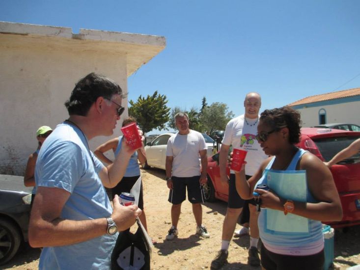
Group photo of the runners
The island of Evia (towns of Marmari and Karistos) can been seen in the background
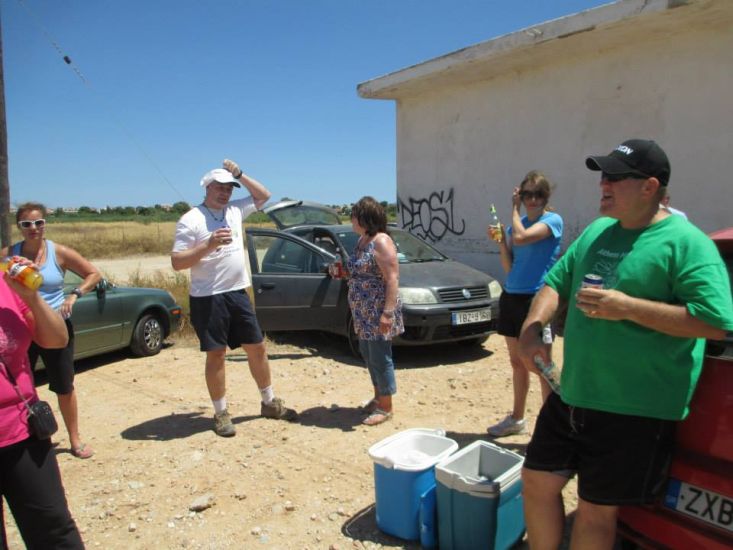
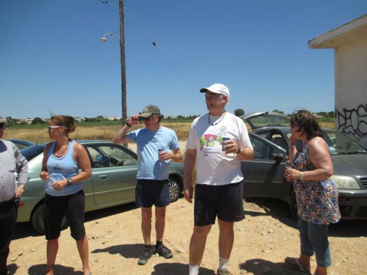
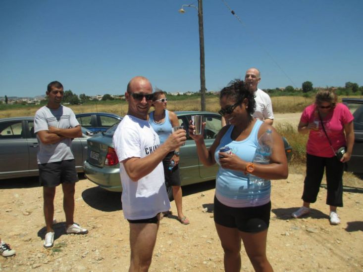
- T H E C I R C L E -
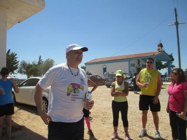
RA Fair Cop starts the circle
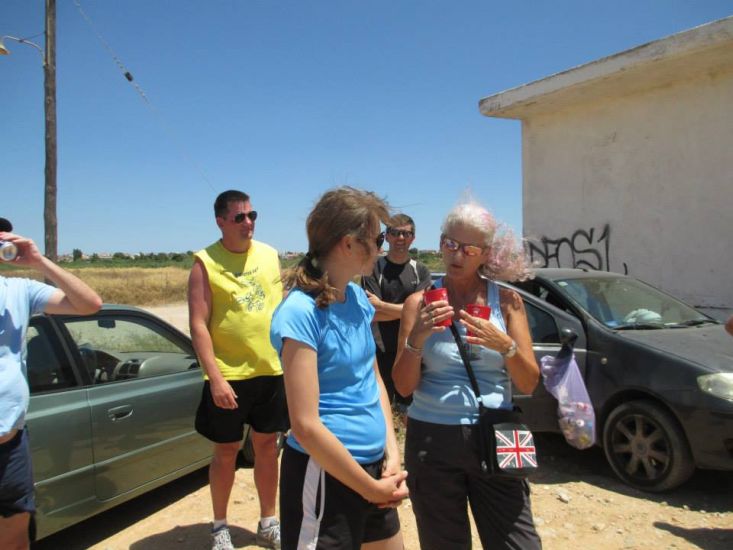
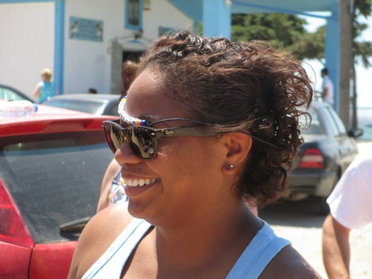
Hon Sex Clitoria questions a visitor

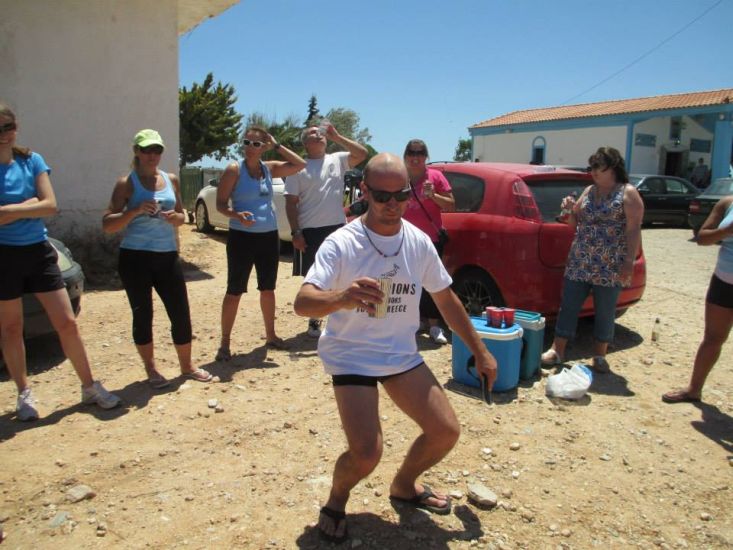
Hornygator gets a down-down
Teeny Boner with Hornygator
Rocket Socket with Hornygator & her last-run leaving certificate
Hornygator
- T H E T A V E R N A -
The Christina Taverna in Loutsa
- THE DIRECTIONS TO THIS HASH -
Sunday 29 June – 11am
FINAL HASH BEFORE SUMMER BREAK
Hare: Wet Dream's special end of season hash
Venue: Loutsa
On Inn: Christina Taverna
Directions:
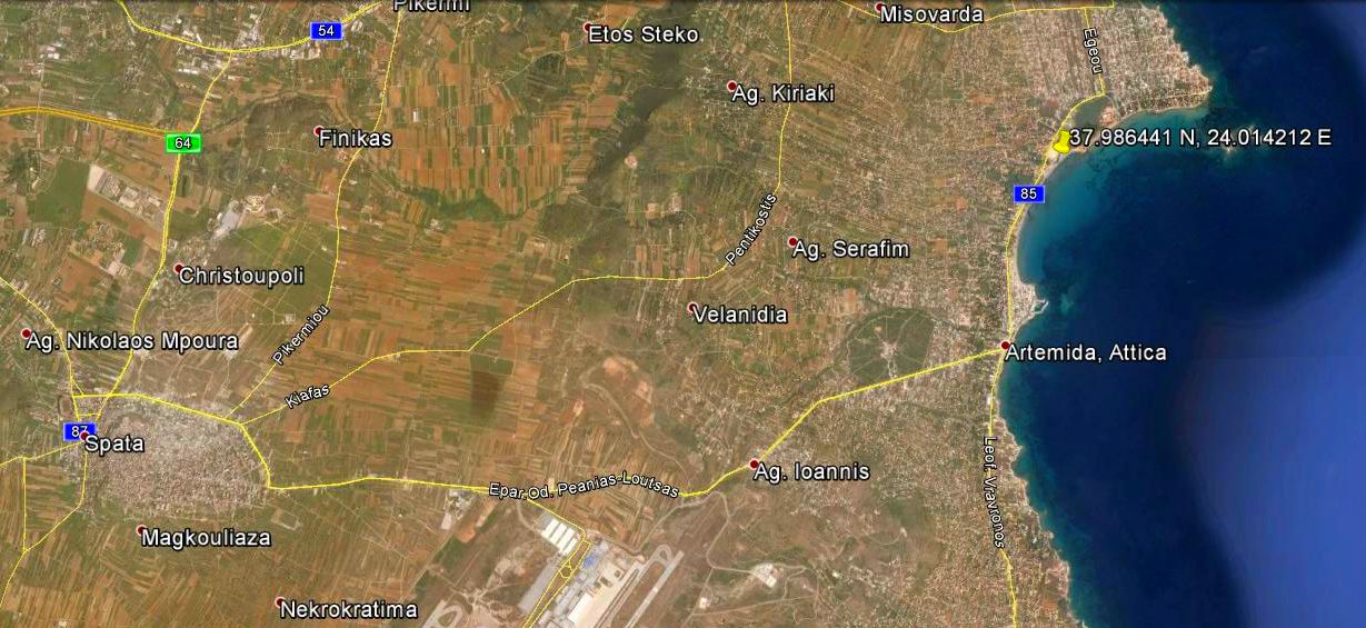
From Attiki Odos, exit 16 (Rafina) . at the end of the motorway, turn right past Smart Park and Attica Zoo, head for Spata.. Turn left at the lights, over the hill and down the other side. Across the lights, pass AB on your right, then turn left at the next lights. Follow this road for several km, past the back gate of the airport, through the outskirts of Loutsa, and down to the coast.
Avoiding Attiki Odos?
Coming out of Athens on Mesogeion, immediately after passing under the Attiki Odos, take the right turn to Spata. Follow the signage all the way into Spata, , where there are signs for Artemis/Loutsa. From there, follow directions as below.
From the South
Get to the Airport, go past the turnings for arrivals and departures, and head for the exhibition centre and technical area. Keep going past the speed bumps, past the sign that says “No access beyond this pointâ€, and drive confidently out through the checkpoint. It will open.
At the traffic lights, turn right, and you are on the main road into Loutsa. Stay on this road down to the sea and follow the directions below.
When you reach the sea, turn LEFT at the lights.
Drive through the centre of Loutsa.
After the shops, there are Cafes on the left and the beach on the right. keep going about 600m until the "TROLLEY CAFE" is directly in front of you.
<see picture>
Take the right fork into their car park and drive straight through. the road bumps along the back of the beach. Stop when you see Hashers or a church!
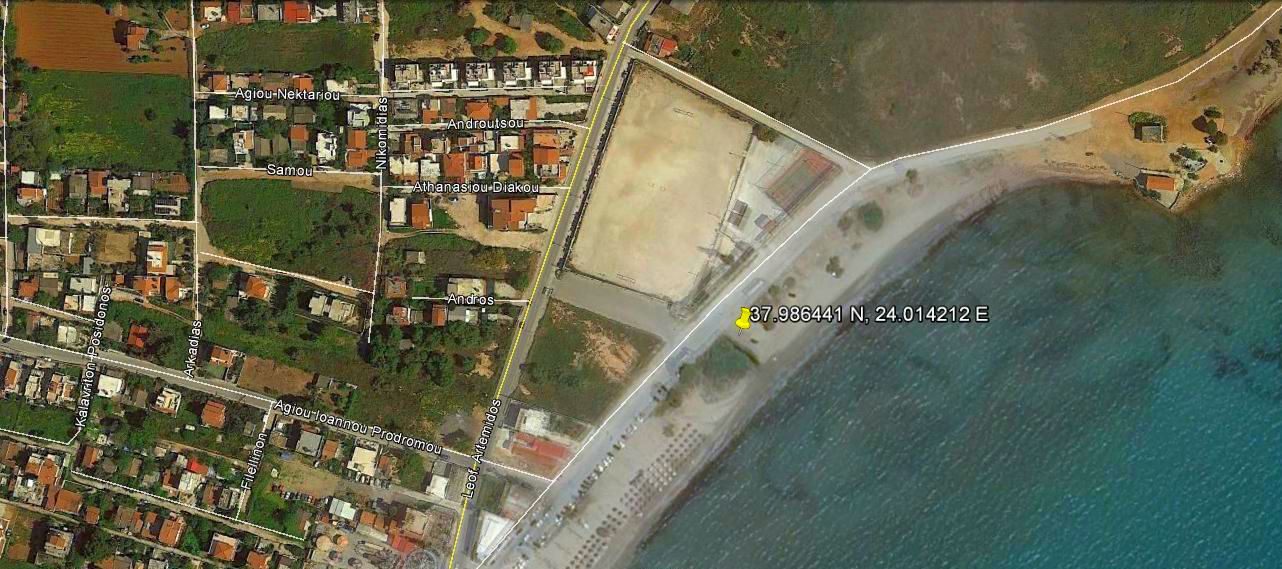
For Sat Navvies: 37.986441 N, 24.014212 E
Leoforos Artemidos 199
Spata Artemida 190 16
IF LOST - YOU ARE LOST - either go home or call the hare
Please use your "Back" Button (Top Left) to return to the previous page