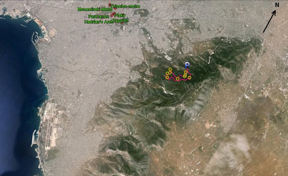
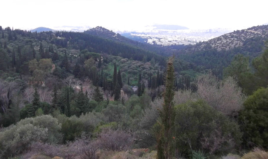
(Due East of Athens centre) |
AH3 Run 1854 Hares: Rocket Socket and OTIS |
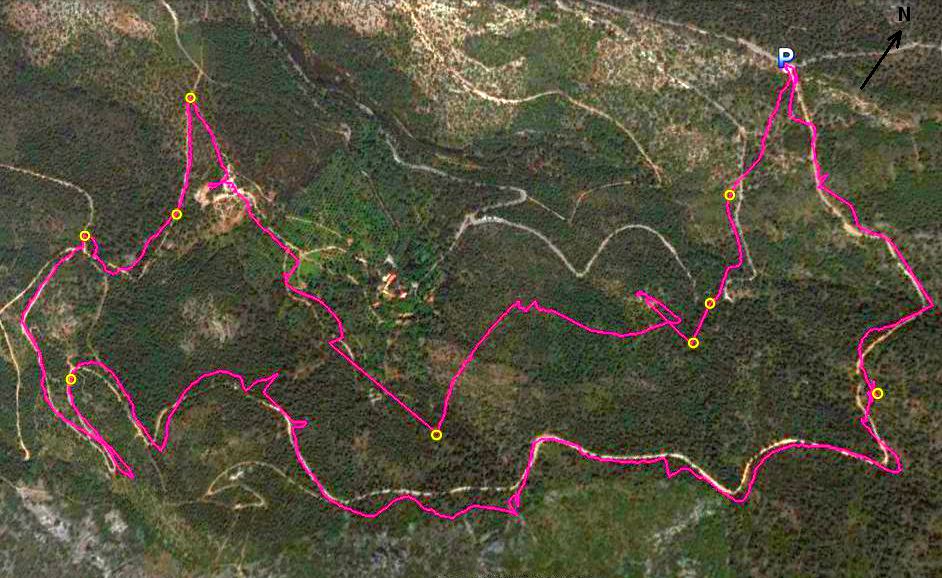
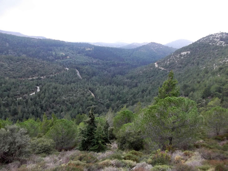
Google elevation (P): 454 metres Trail length: 7 km |
|
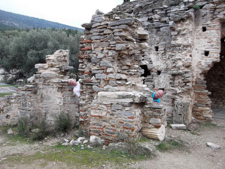
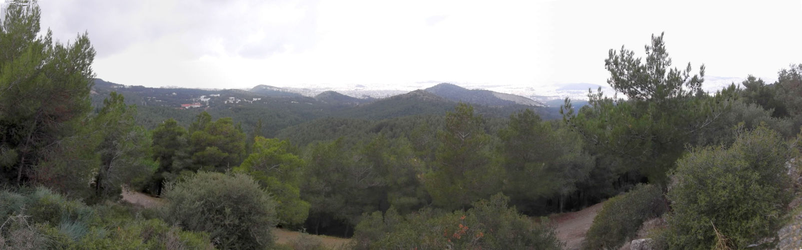
The
Trail |
|
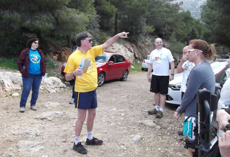
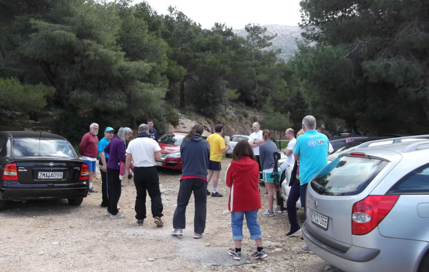
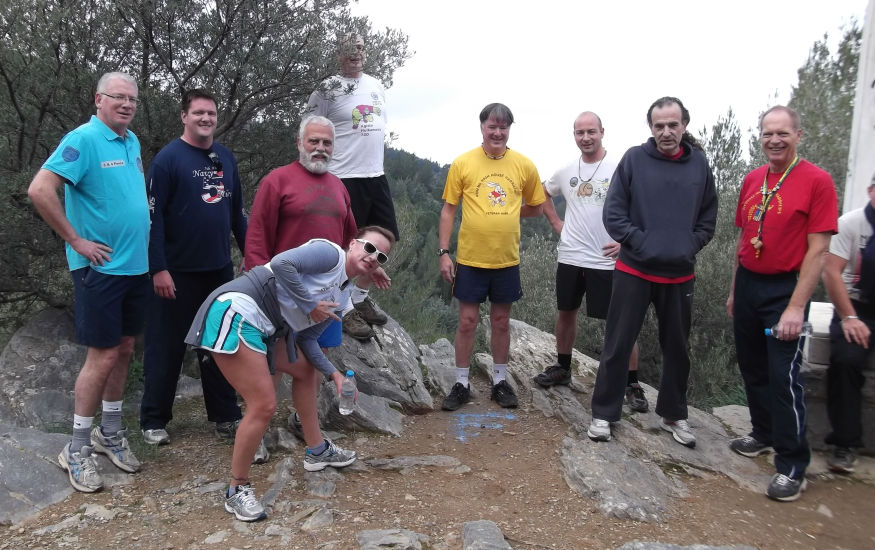
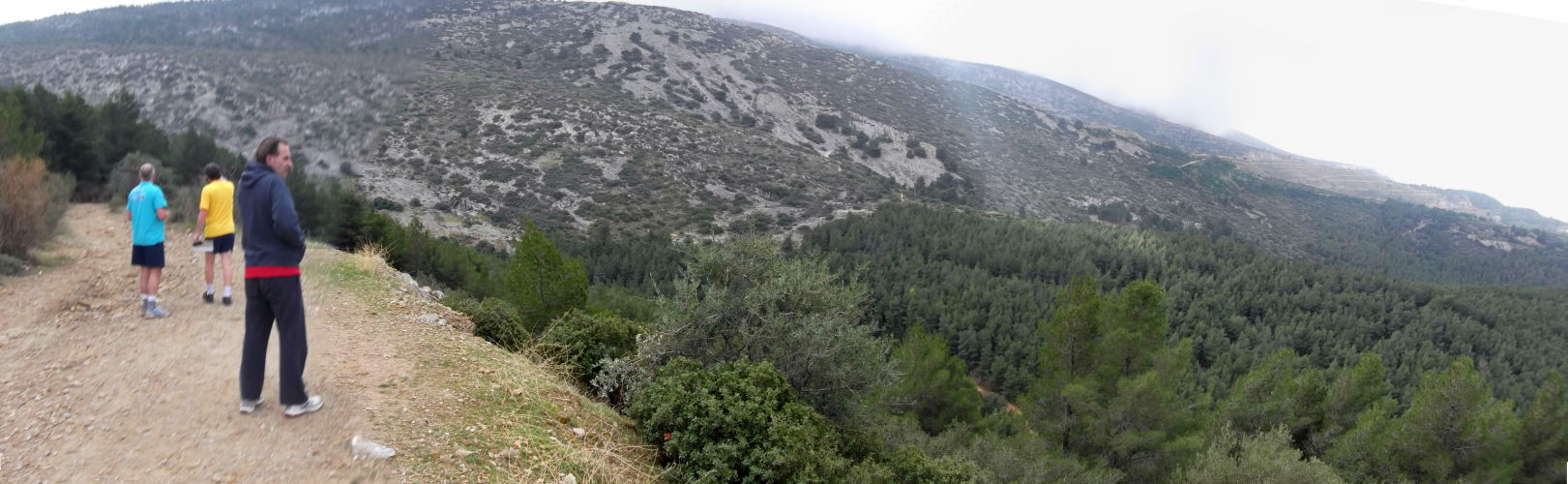
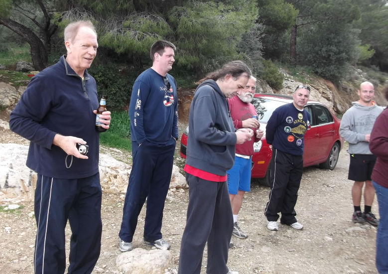
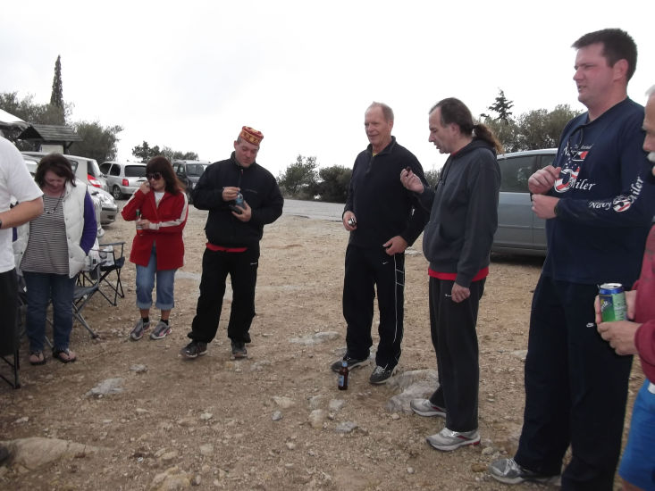
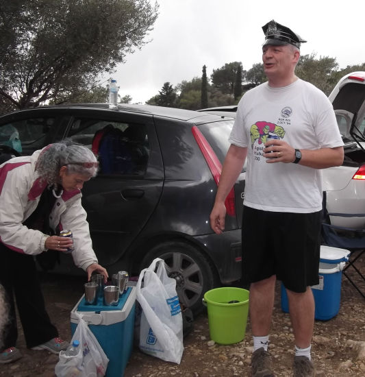
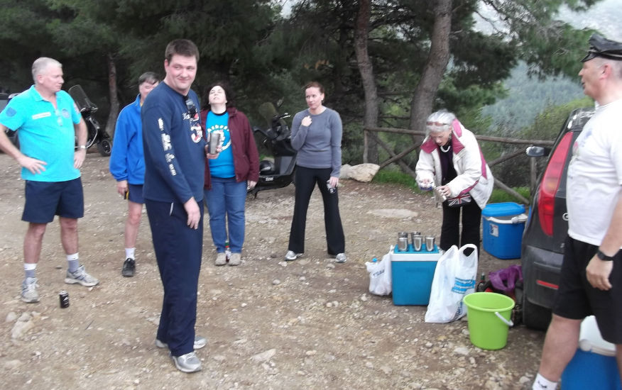
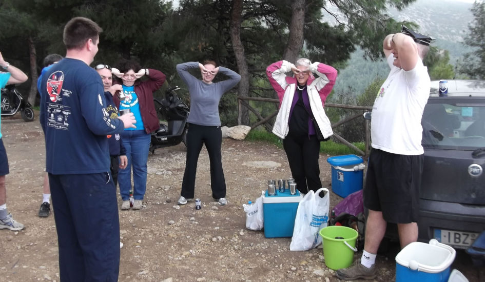
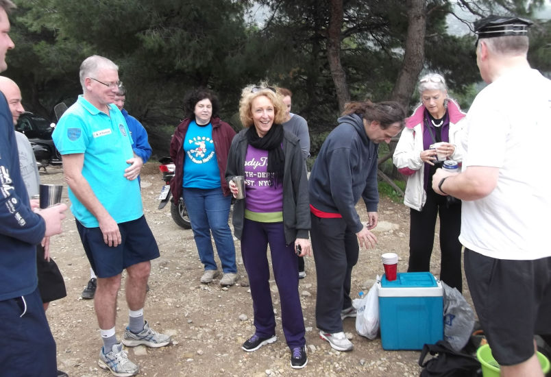
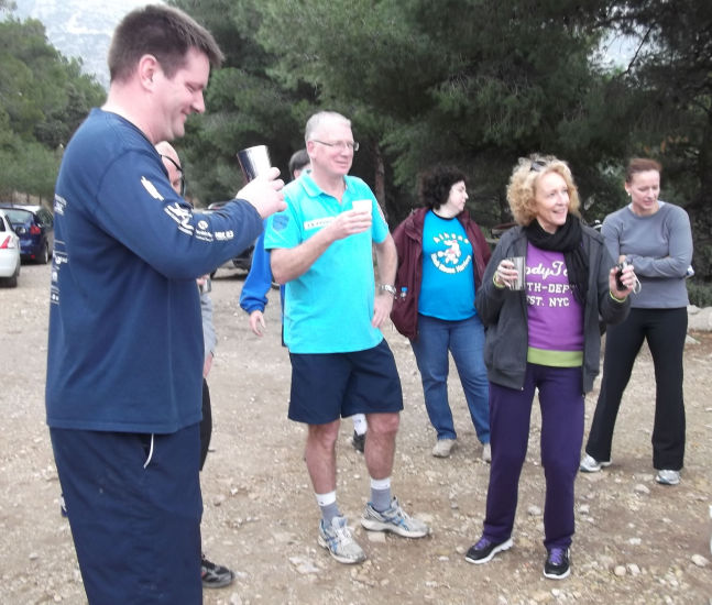
Before the run |
|
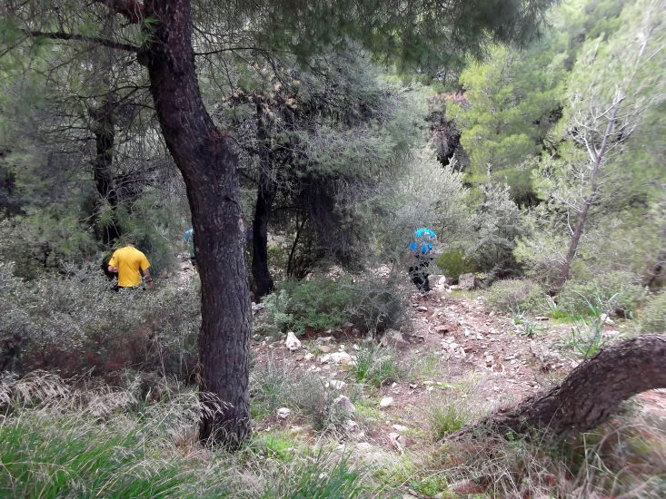
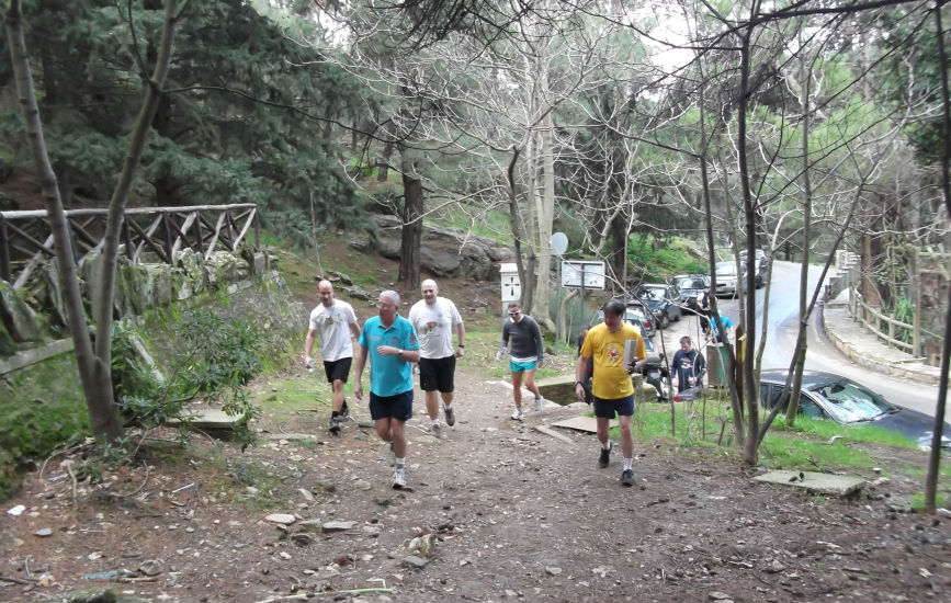
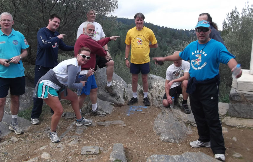
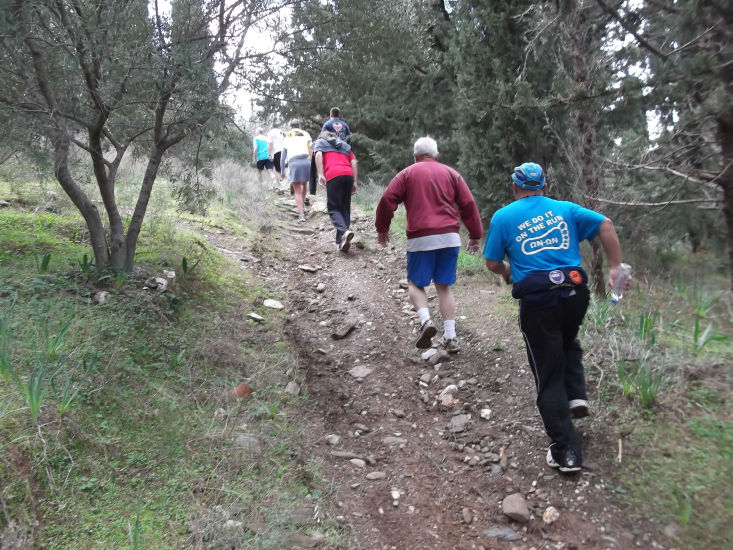
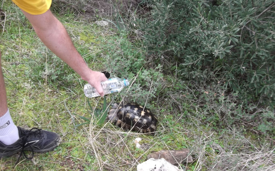
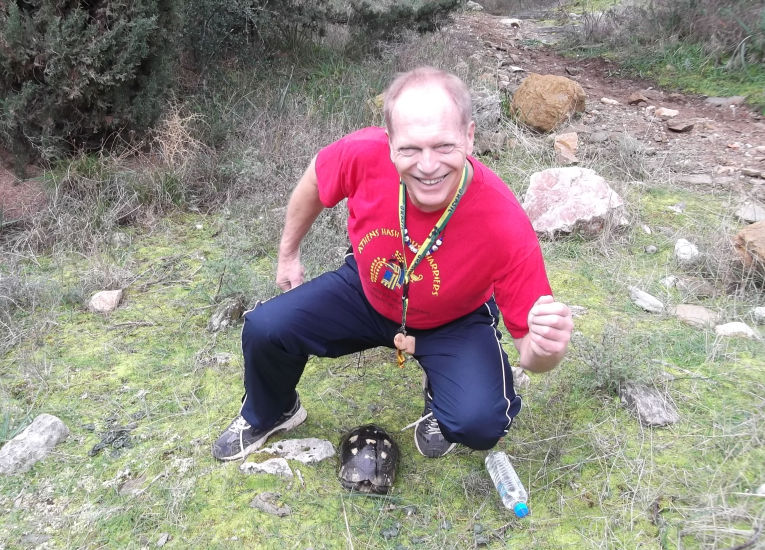
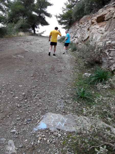
The
Run |
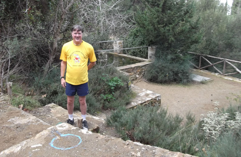
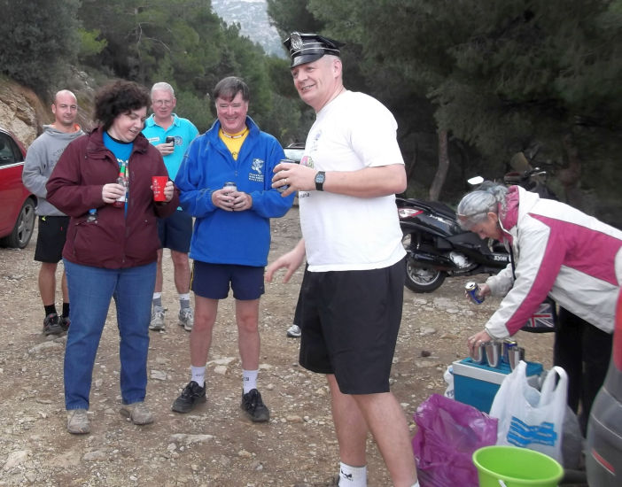
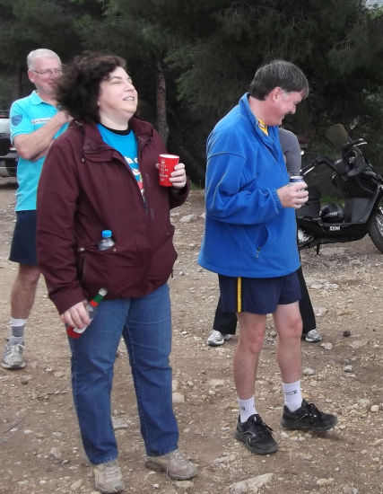
The
Circle |

|
The
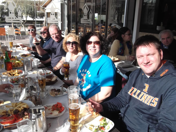
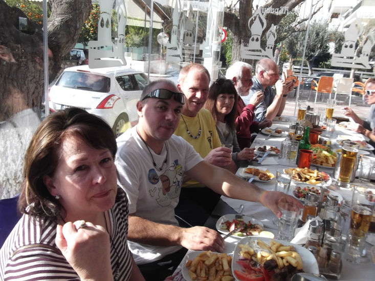
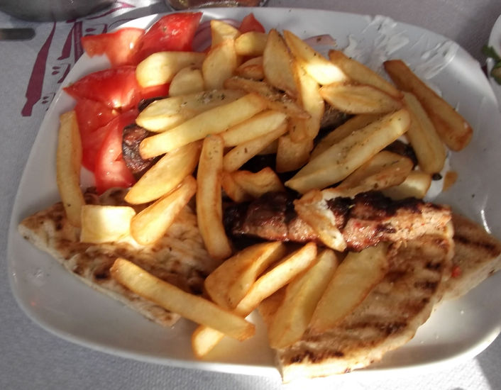
Taverna |
The Abraam Taverna in Papagou
All we could eat & drink for 9 euros each!
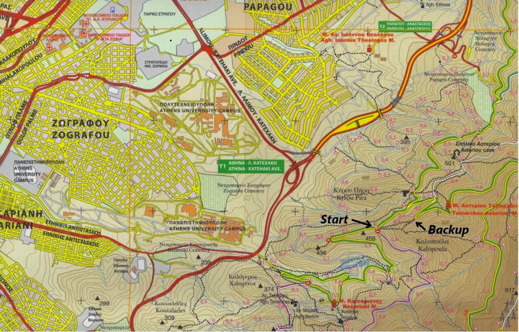
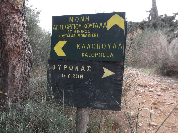
The directions to the hash - for the record |
Extra special flat scenic walking trail, not used by the hash before, hared by OTIS…..
Plug these coordinates into you GPS because these directions are way too complicated for hashers:
Start 37°58'03.38"N, 23°48'11.09"E
Backup parking 37°58'07.11"N, 23°48'26.57"E
Get on the Imittos ring and take the Papagou exit to Anastaseos street, then turn left (uphill) at the junction with Anastaseos St and continue up the mountain a little over a kilometer until you get to a "Y" junction turn right. Go approximately 1.7 km where you will come to a "T" junction, turn right and go 400 meters to the start.
Although there is lots of parking at the start, since this is such a nice place, parking can be a challenge and there may not be any left. If so go back to the "T" junction and continue up hill 600 meter and park your car and take the steep treacherous path down to the actual start (400 meters). Advice: get there early to avoid parking problems.
Third navigational option: look at the attached map and figure out how to get there your self.