|
(Near Loutsa, due-east of Athens) |
AH3 Run 1853 Hare: Fair Cop |
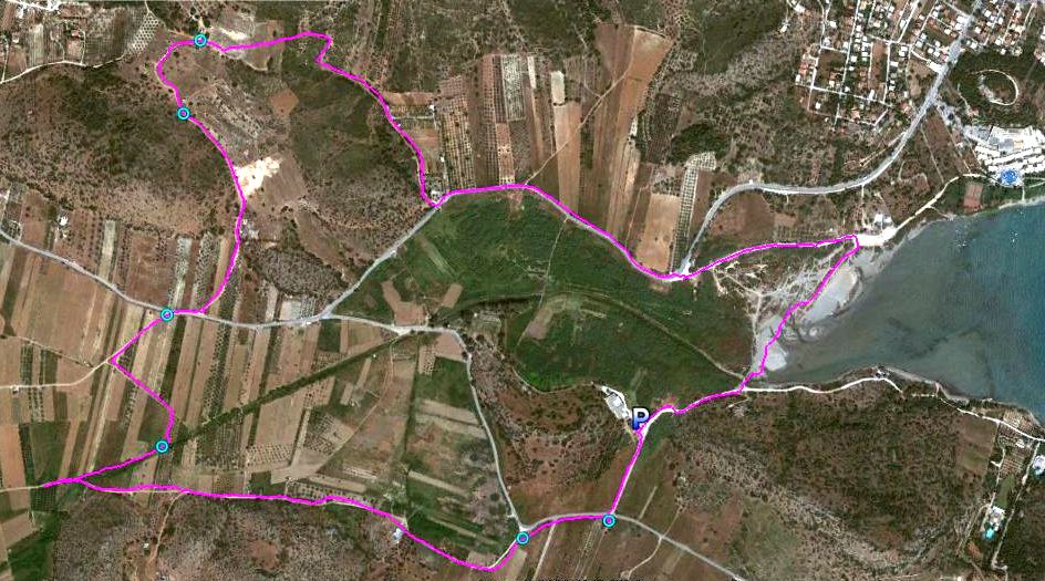
Google elevation: 5 metres Trail length: 5.96 km |
|
The
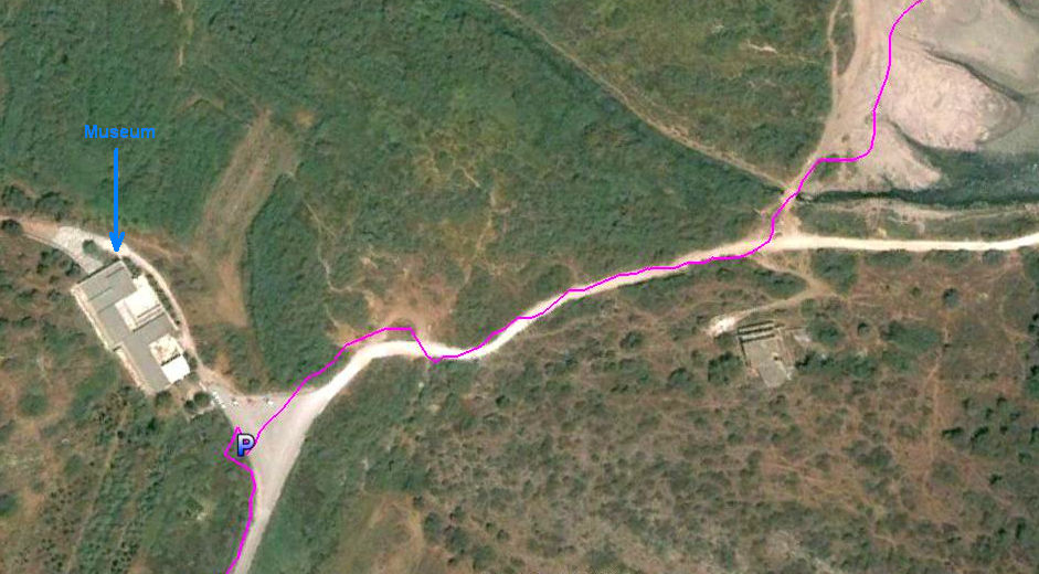
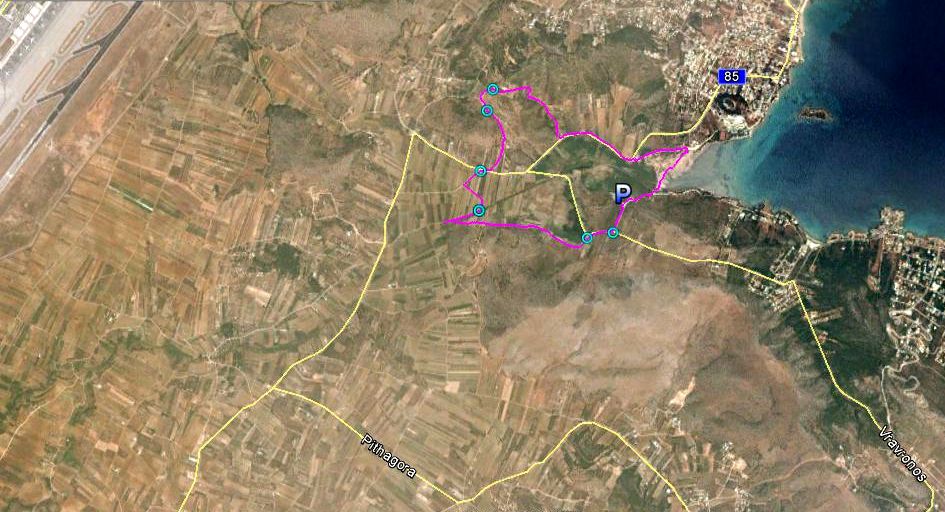
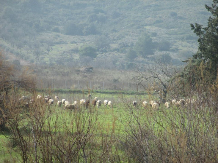
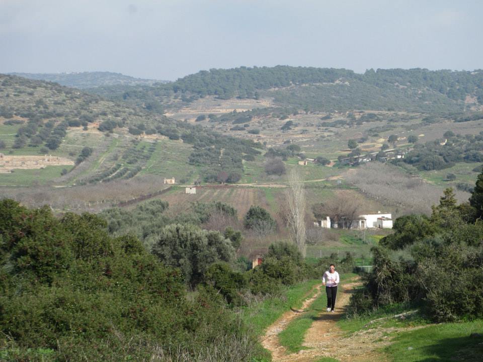
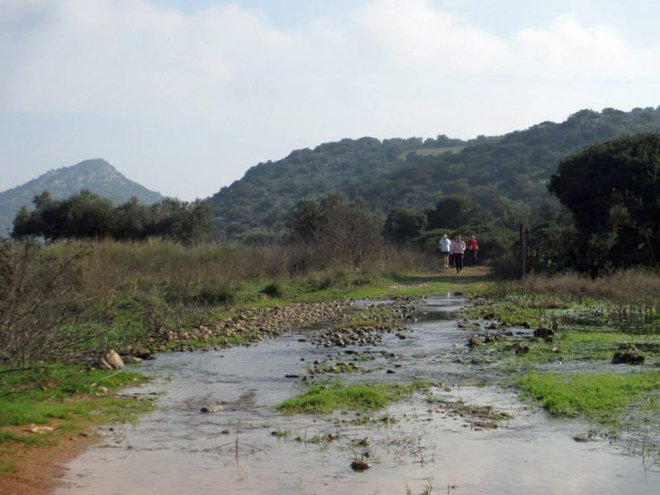
Trail |
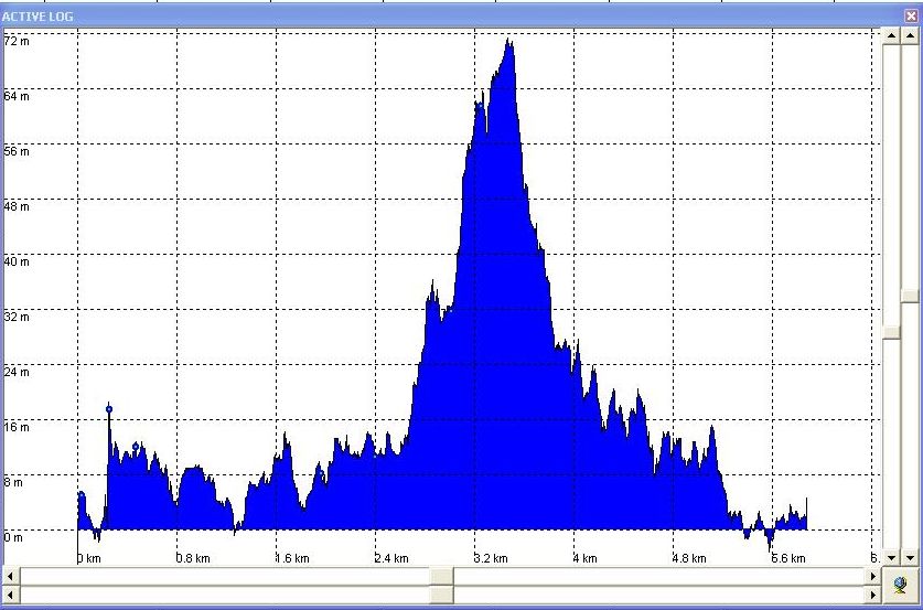
Altitude profile of the trail
|
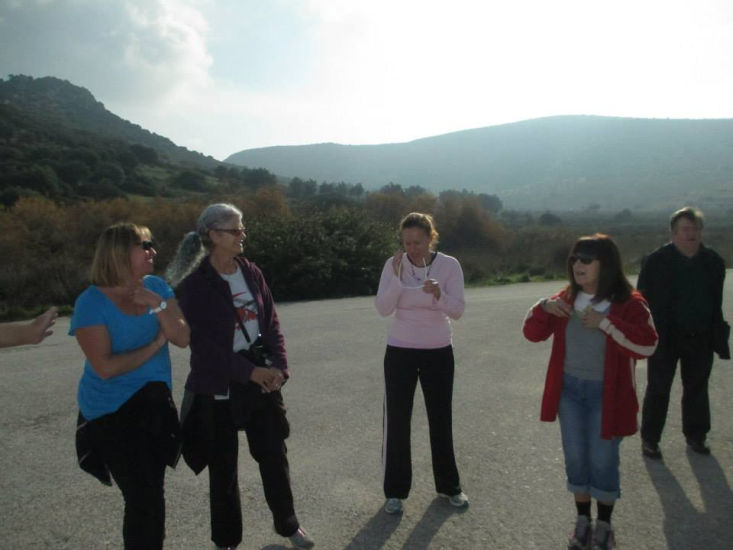
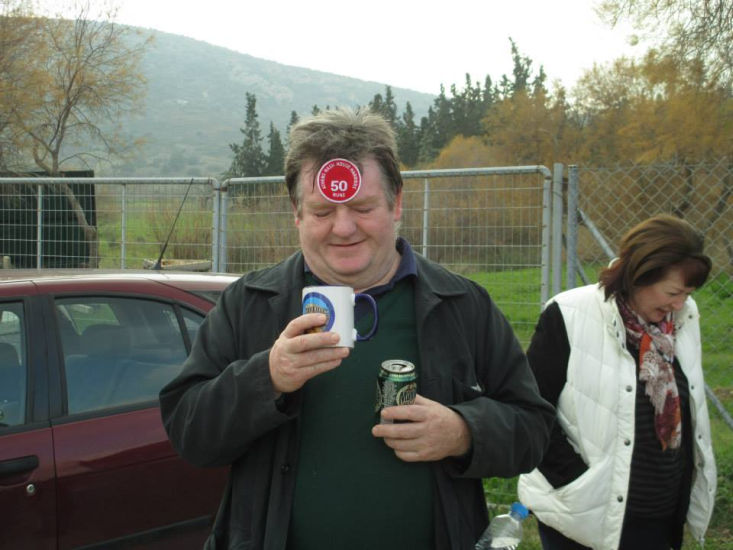
Before the run |
|
The
Run |
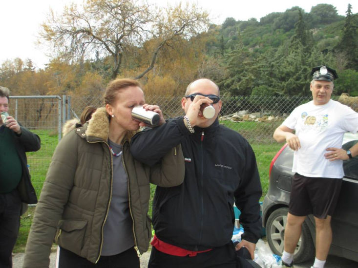
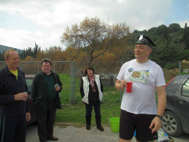
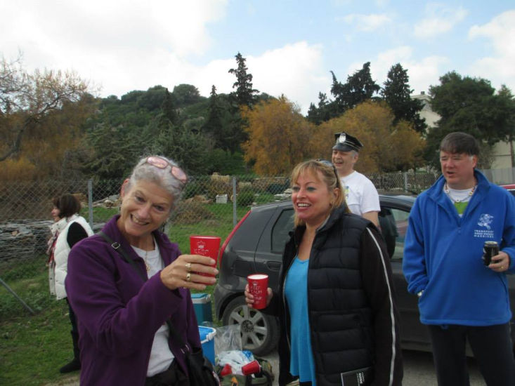
The
Circle |
|
The
Taverna |
The Christina Fish Taverna in Loutsa
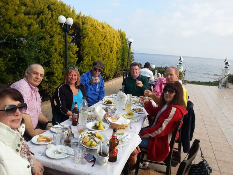
Smartphone photo by Knob Goblin

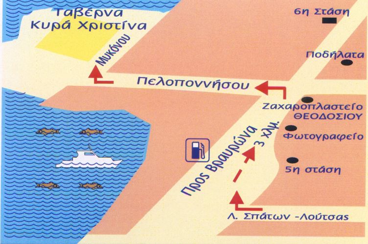
The directions to the hash - for the record |
Run will start from the car park of the Vravrona Archaeological site / museum
From the North:
Take the Attiki Odos toward Markopoulo, pass the turning for the Airport and
follow the signs for Markopoulo. There are three sets of traffic lights
allowing left turns...take the third set and turn left, then continue as **
below.
From the South:
From Glyfada, through Vari, to Koropi. Turn right and right again toward
Markopoulo. At the traffic lights in Markopoulo, you want to go straight
across, then continue as ** below.
** From the lights:
Markopoulo has a difficult one way system!
Pass the "South Park" cafe on the left, and at the next junction there is a
petrol station on the opposite corner. Turn left here.
Follow this road, across the lights, until you reach the "No Entry" sign.
Turn right because you have to.
Follow this road to the T-Junction, with a café opposite, and turn left.
You are now on the road out of Markopoulou, heading for Porto Rafti.
Continue along this road.
After a short distance you will see a traffic island - turn right towards Xamolia.
Follow the Artemis road through the back country for about 1km, turn left into the Museum. We meet in the car park..
IF THAT SOUNDS DIFFICULT...
Come past our house in Loutsa (Hash trash 17th February) and keep going for 4km, pass the hotel, then turn sharp left on the Xamolia road..
***Important***
It will take you at least 35 minutes from Mesogeion, or at least 20 from
the Airport
For Sat Navvies
37.924155N 23.997686E