|
(N-W of Athens) |
AH3 Run 1850 Hare: Mountain Goat |
Google elevation: 418 metres Trail length: 6.7 km |
|
The
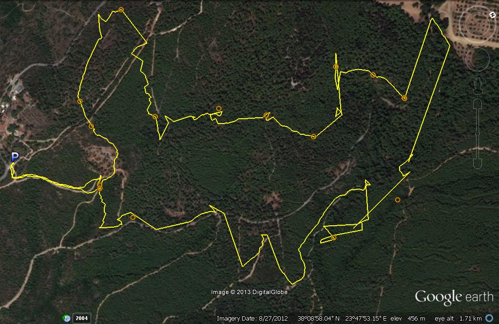
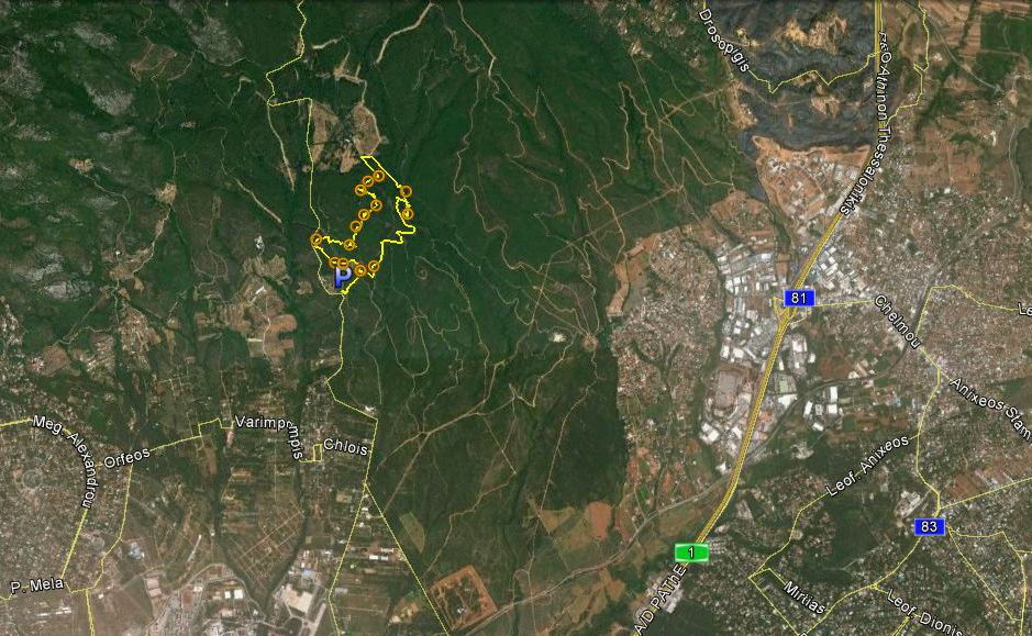
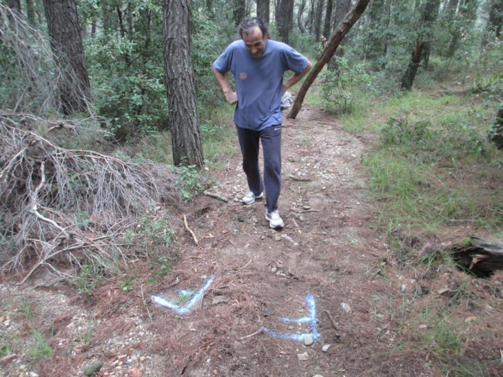
Trail |
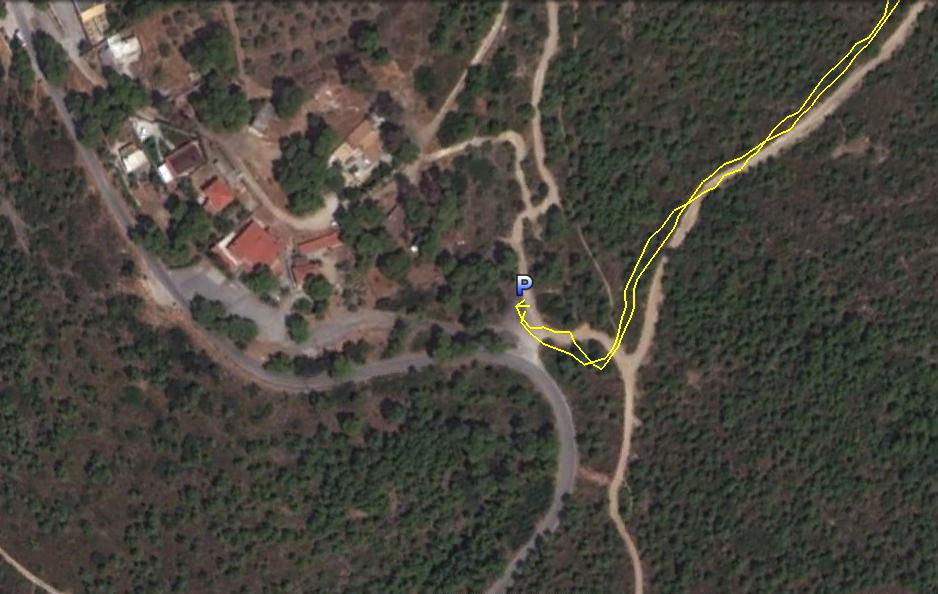
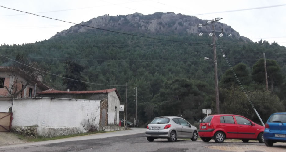
The parking spot and circle location
GPS signal gets blocked by the trees so some jumping when signal lost.
View of trail from 10km up
|
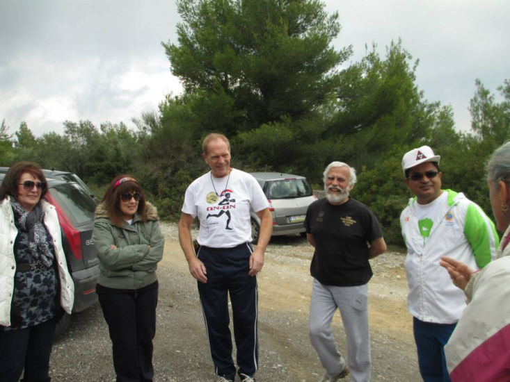
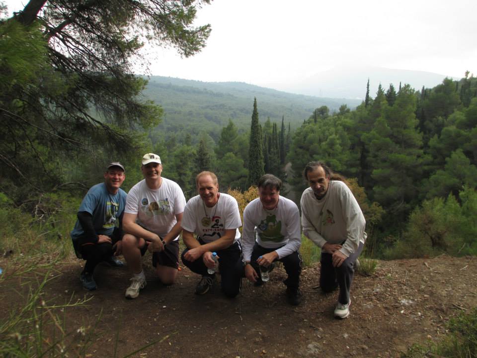
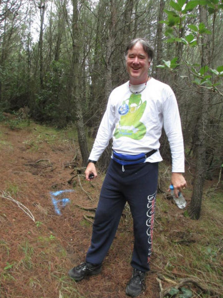
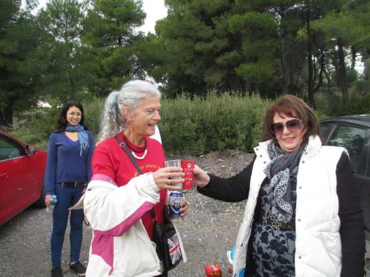
Before the run |
|
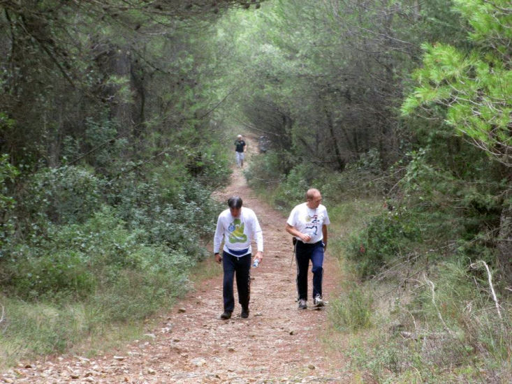
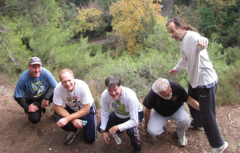
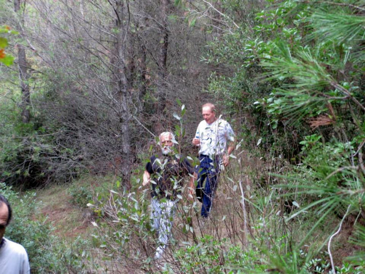
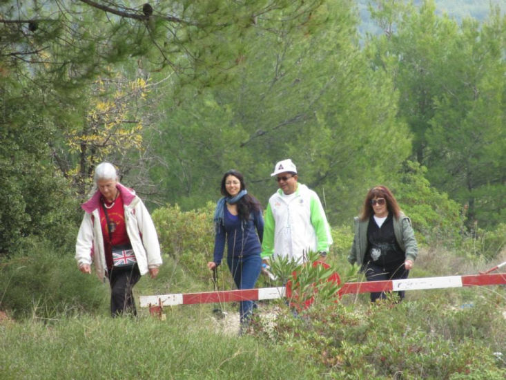
The
Run |
The
Circle |


|
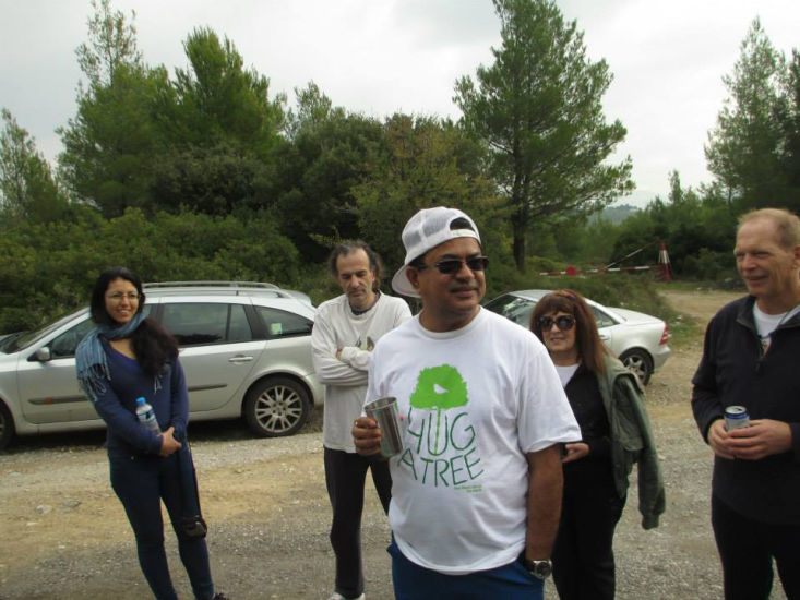
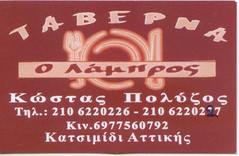
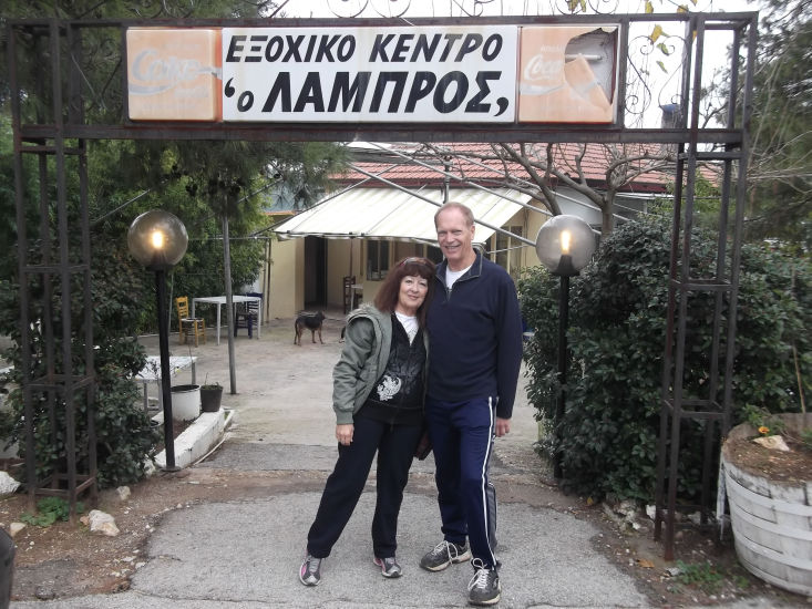
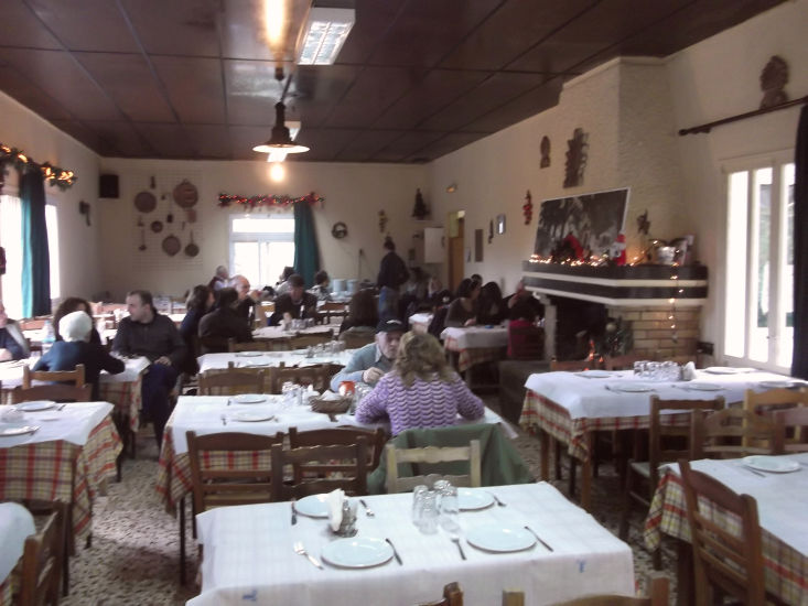
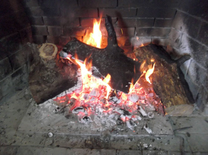
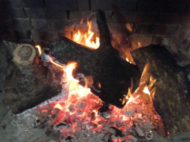
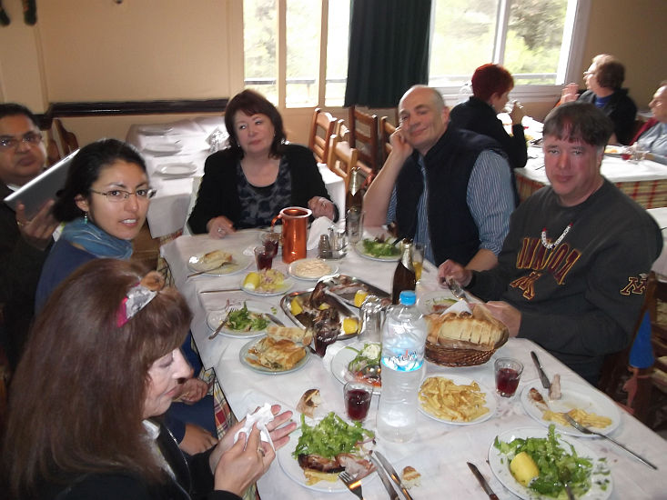
The
Taverna |
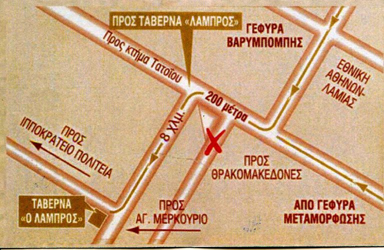


The directions to the hash - for the record |
From wherever you come:
Follow the road signs to Varibobi, cross the Varibobi Bridge (Flyover) the National Road to Lamia, continue on this windy road, that after a while becomes a long straight road going uphill, at the junction with the road coming from Tatoi Airport turn right, continue straight uphill (do not turn left towards Varibobi village).
At the end of this road you will be forced to turn left (because straight there is the closed (back) gate to the ex- King’s residence.
Follow this road for about 1 km, until you will see the usual parking spot on your right. This will be out meeting place.
If you pass the group of taverns (Thea, Panorama and Aghios Mercourios on your right hand side of the road, where the Fire Squad normally is stationed on the left side, this will mean that you have gone too far. Turn around and drive back for some meters and then turn left (as you will be coming now down the hill) into the parking lot.
We start from there (I will also try to mark the road, as much as possible, with the signs I will hopefully obtain at the very last moment).