Sunday 3rd November 2013 DIONYSOS |
|---|
Hare: Mad Dog |
GPS: 38° 6'2.30"N, 23°52'55.63"E |
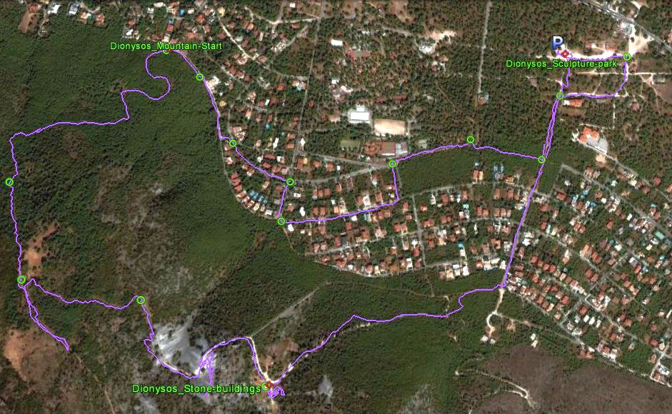
Satellite images of the trail
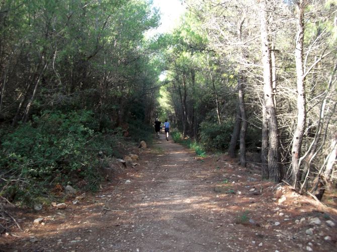
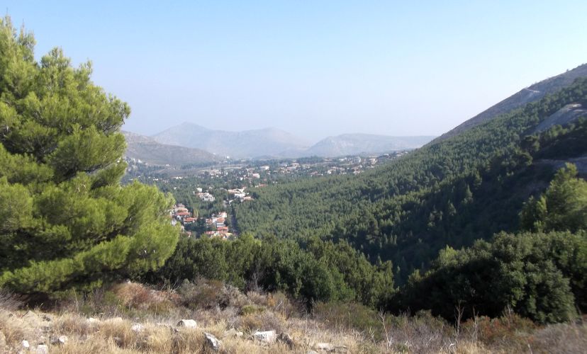
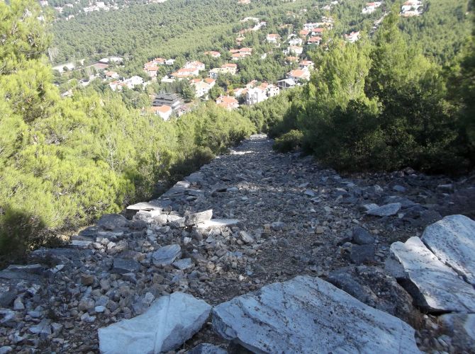
The trail went counter-clockwise with a fairly gentle start through the housing areas -
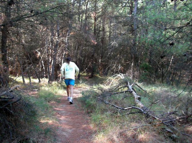
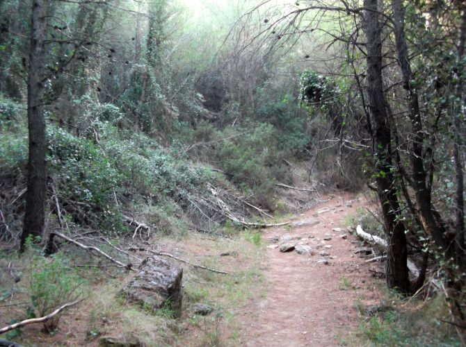
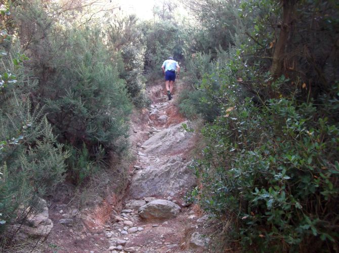
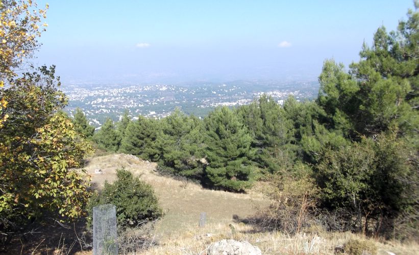
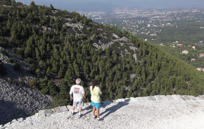
and then straight up a narrow footpath on what is considered as the back side of Mount Pendeli.
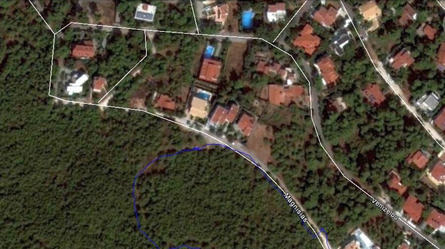
The mountain footpath start location on Magnisias Street: : 38° 6'1.99"N, 23°52'9.15"E
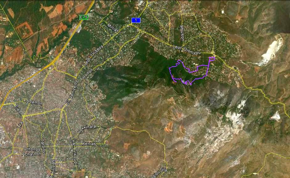
View of trail from 10.6 km altitude - located on the pine tree-covered northern slopes of Mount Pendeli
The white area to the right of the trail is the modern Dionysos marble quarry and factory.
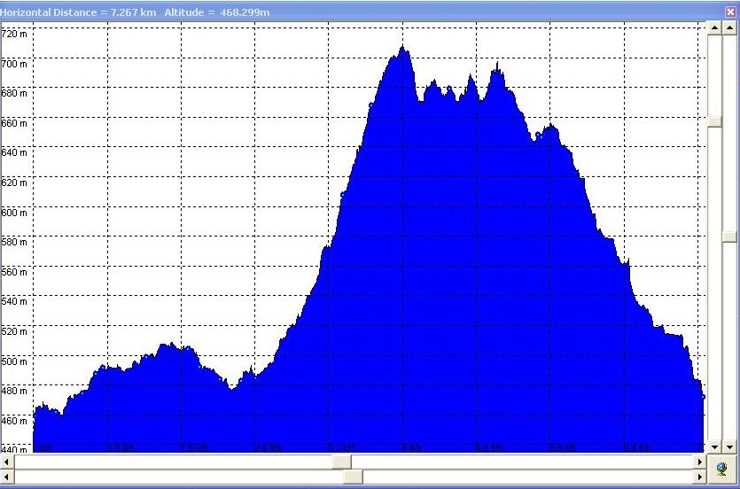
Maximum altitude change attained from start of run is (710m - 473m) = 237m
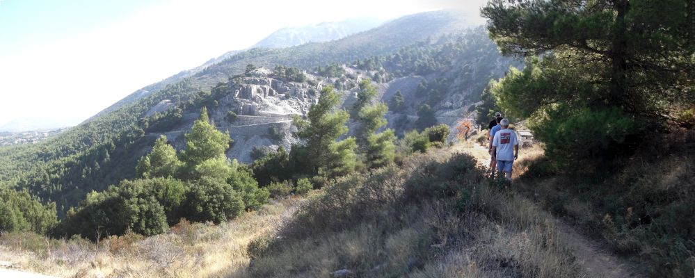
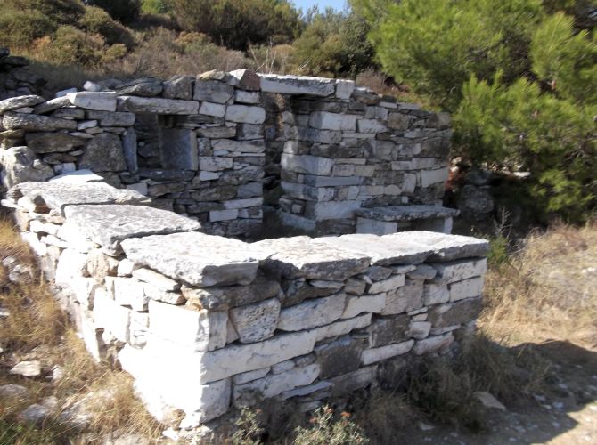
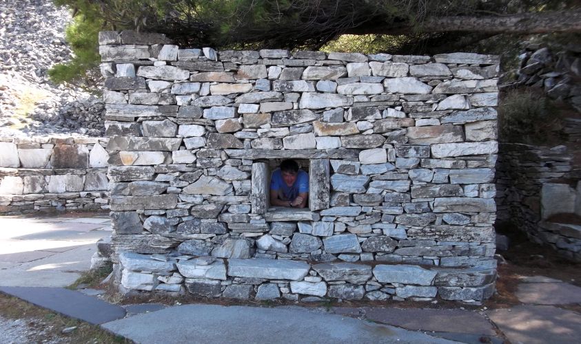
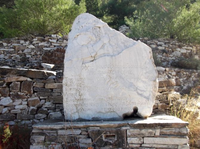
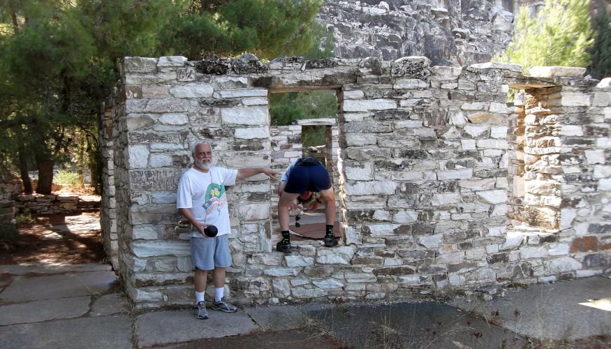
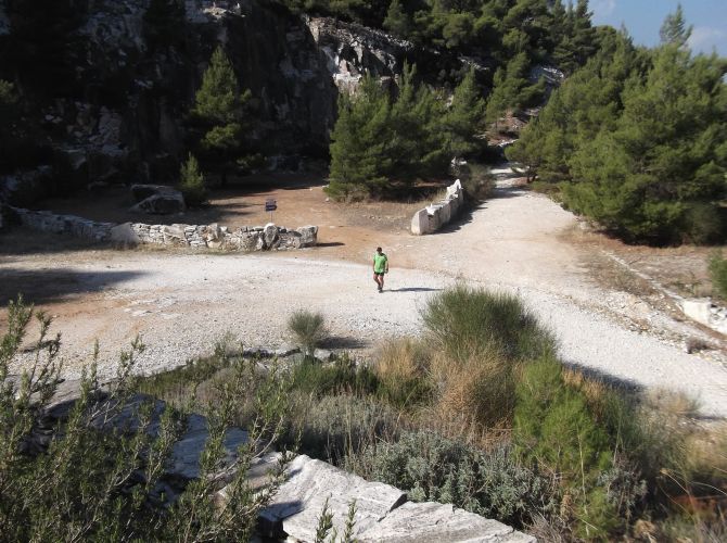
- Photos -
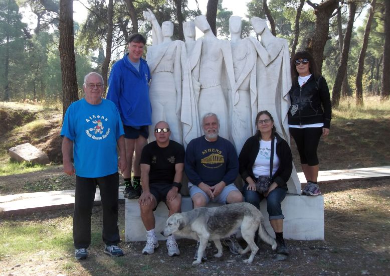
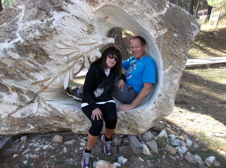
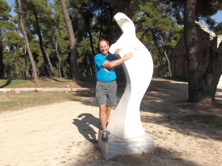
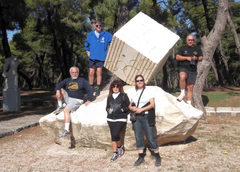
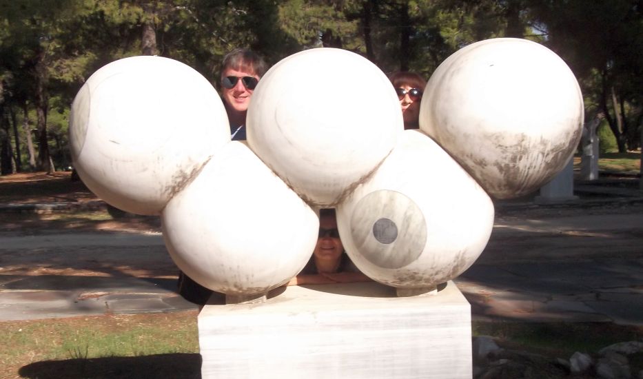
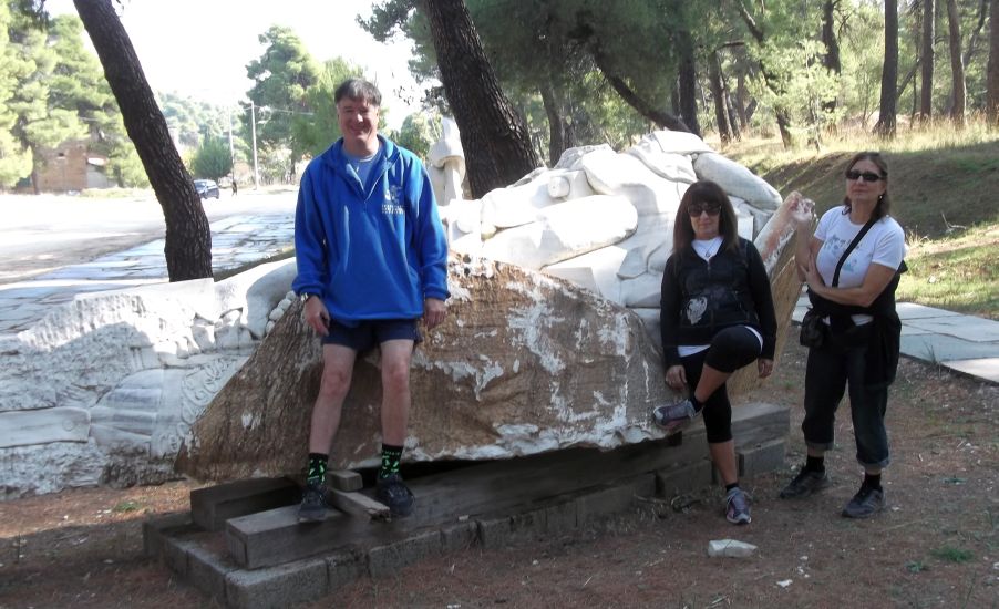
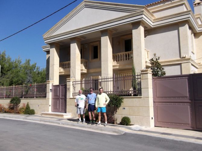
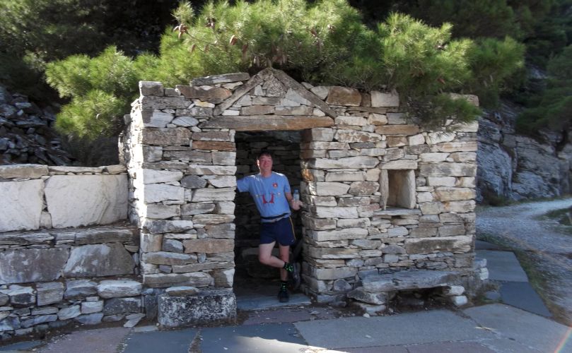
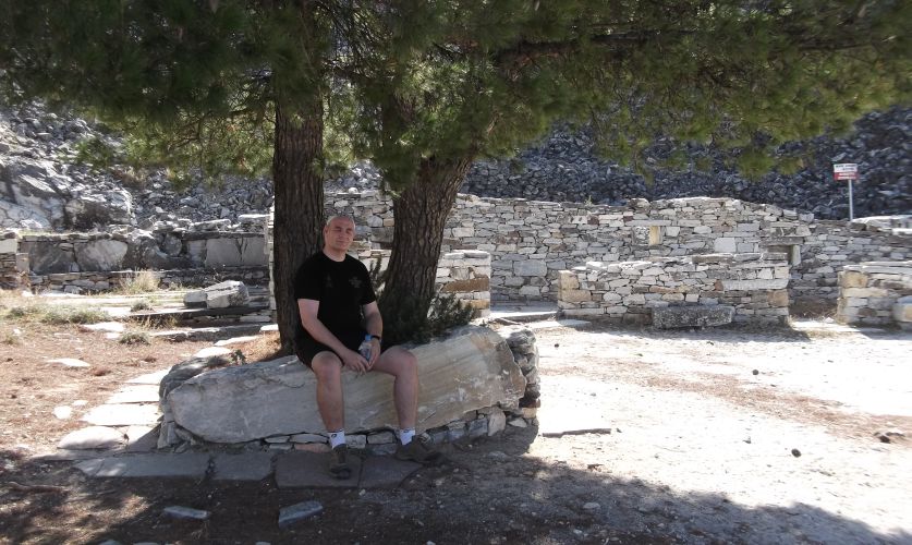
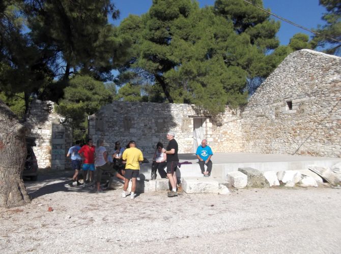
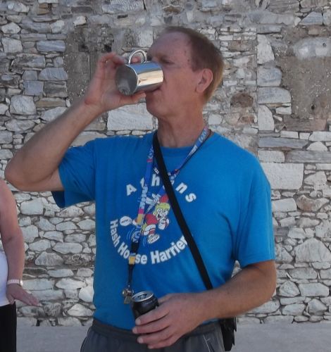
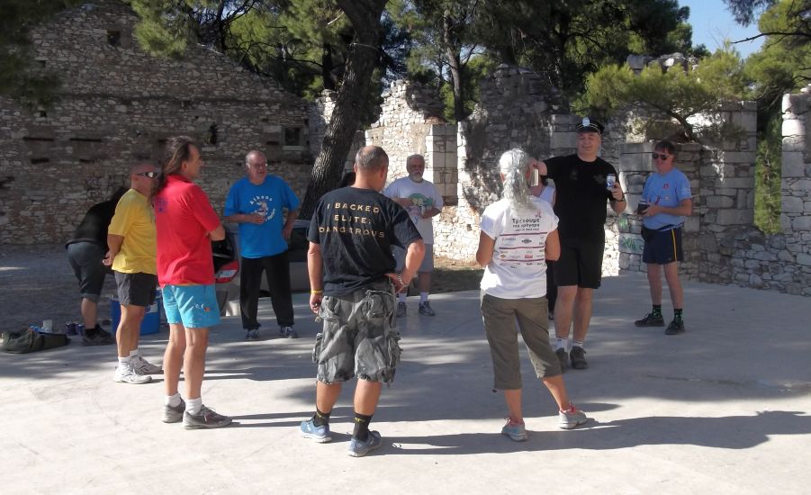
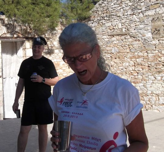
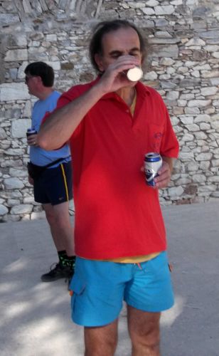
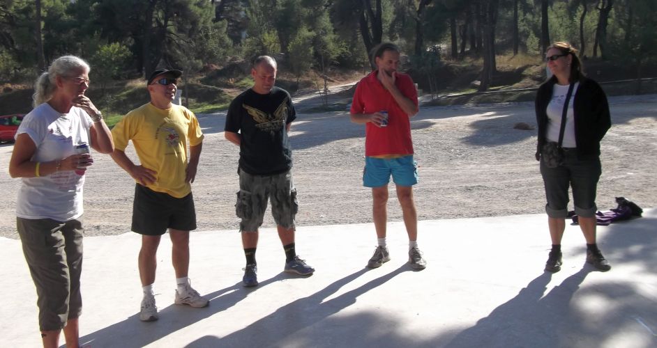
SOME FUN BEFORE THE RUN
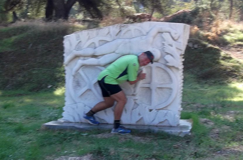
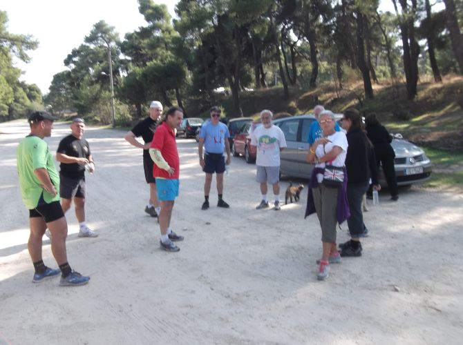
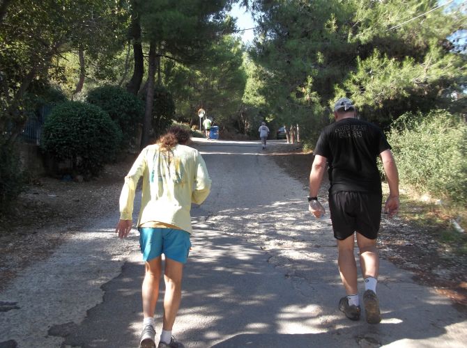
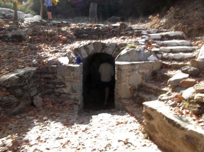
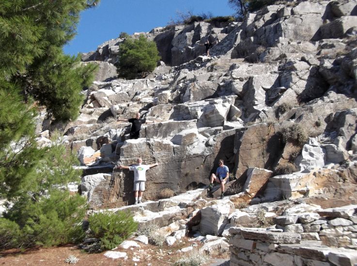
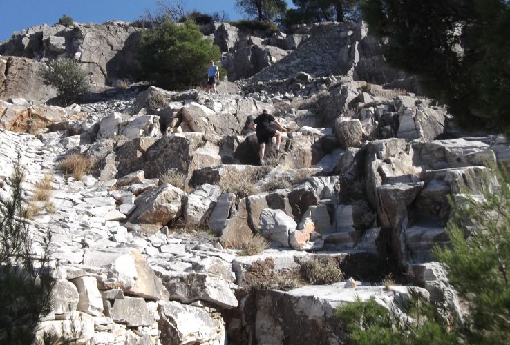
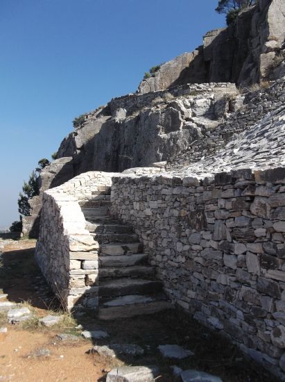
THE RUN
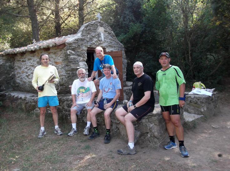
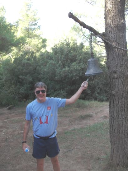
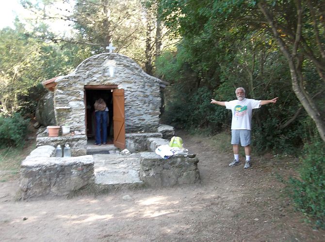
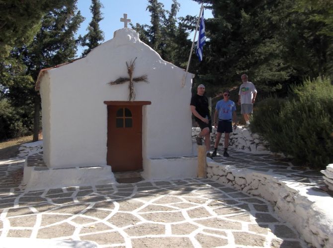
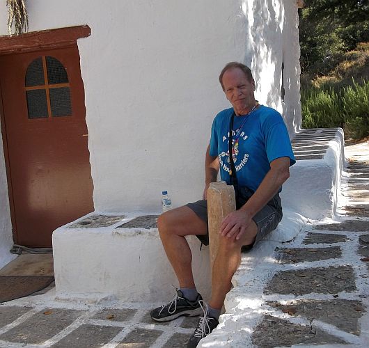
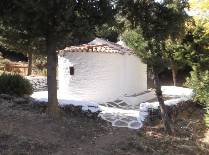

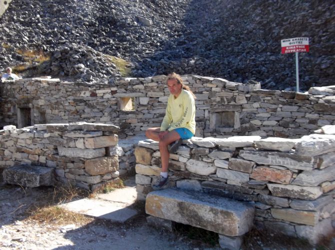

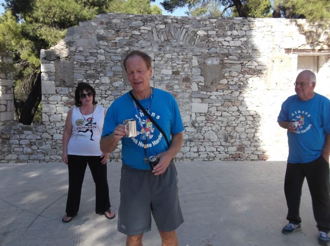
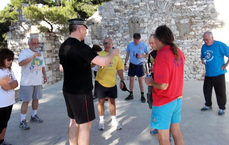
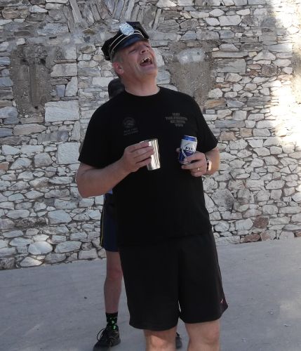
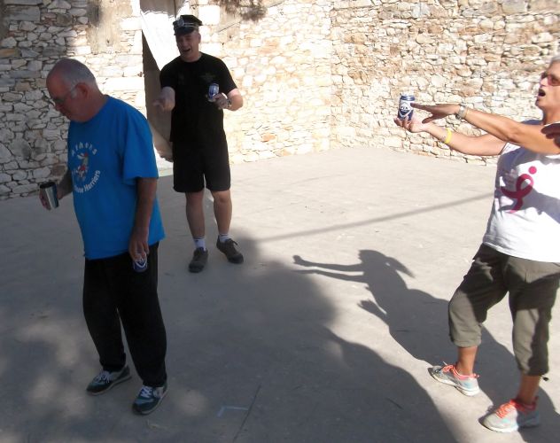
THE CIRCLE
TAVERNA
Sadly the tavernas in Dionysos had gone out of business,
so we went to...
The Eagle in Stamata
We had Kokoretsi, Chicken, Sausage, Pork chop + starters, wine and beer
For only 10 euros each! Great value!
Directions to the hash (just for the record)
Directions...
Coming from Athens Centre:
Go up Kifissia Avenue and through Kifissia
Continue 3Km or so and pass through Nea Erithrea
Continue for another 2.5Km or so..
You will see signs directing you right to Nea Makri ***
Take this road (Leof. Dionysos) as if going to Nea Makri
Set your odometer to zero here (0.0)
You will pass an Avin garage and an Eko garage (1.9 & 2.2)
You come to the Aiolidos taverna on your left (3.3) (Now abandoned)
Turn right opposite this taverna (by a Pizza / cafe place)
Almost immediately turn right again
Park by the marble statues
(Look for hash signs - HHH)
Coming from Attiki Odos &/or National Road
Get on the National Road heading North towards Lamia
Take the exit for Varibobi
Immediately turn right (ie opposite to Varibobi)
Follow this road (Ag Saranda) up for about 1km
At the end of the road turn left at the traffic lights
Follow this road (Leof Thisseos) for about 2.5km
You come to a turning signposted right for Nea Makri
Turn right here and follow directions as above ***
GPS: 38 06' 01.78'' N, 23 52' 56.25'' E