Sunday 13th October 2013 |
|---|
Hare: Fair Cop |
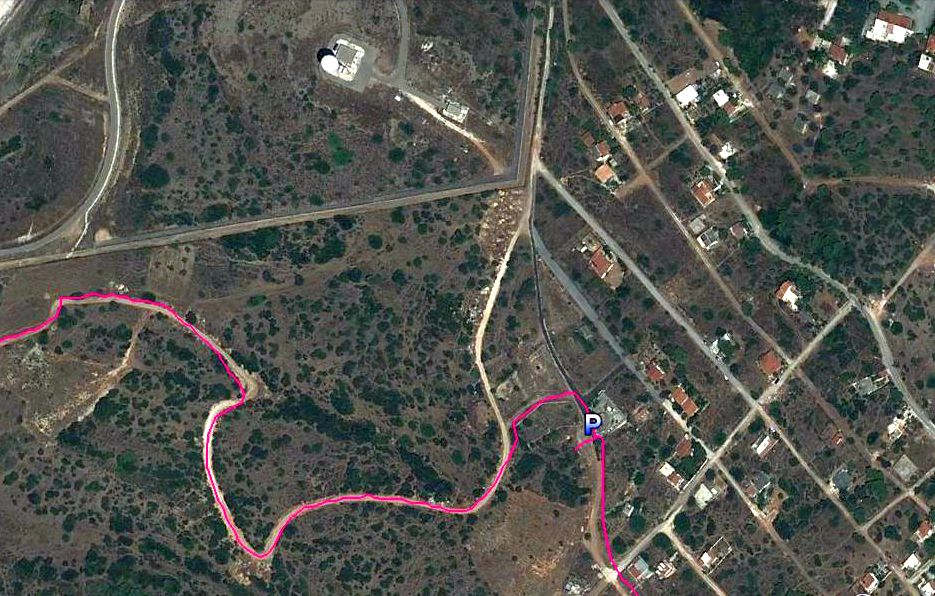
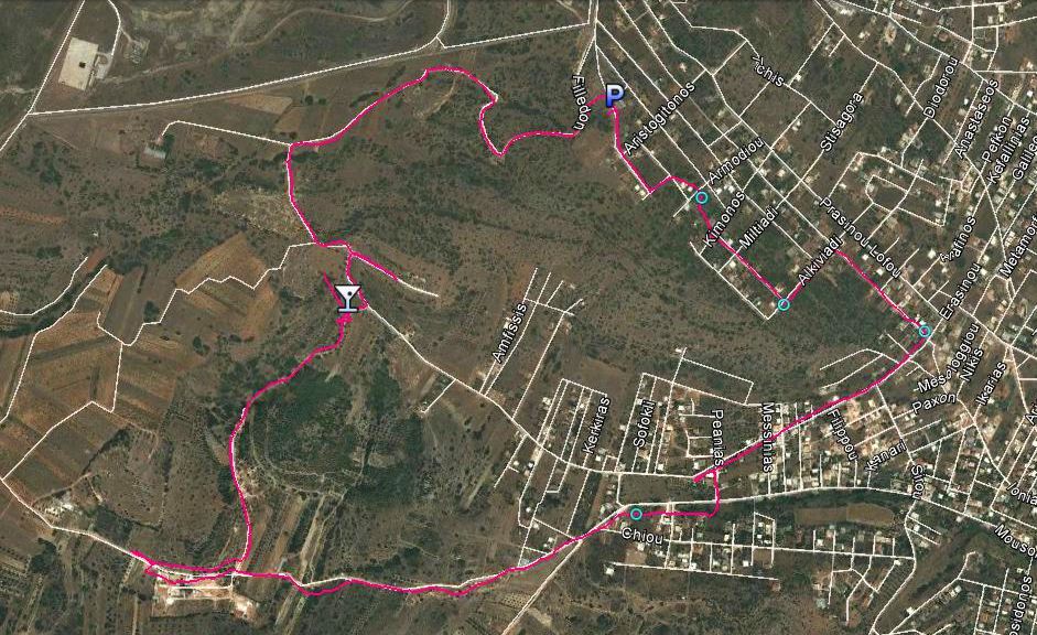
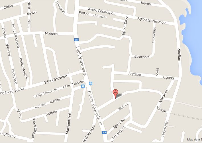
GPS: 37°56'52.75"N, 23°59'11.73"E Trail length: 4.53 km Starting point altitude: 196 m |
Photos & Web Page: Mad Dog |
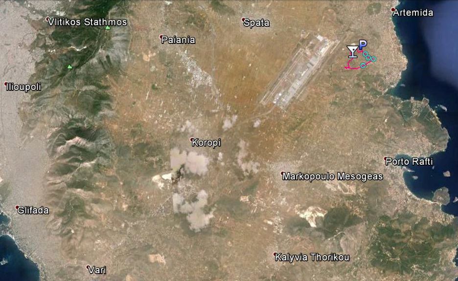
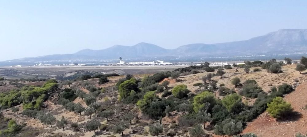
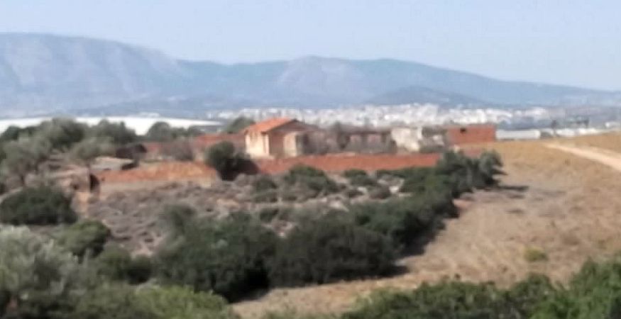
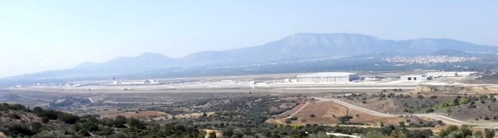
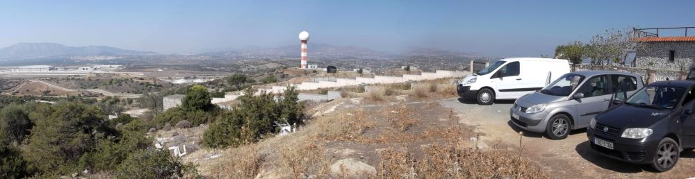
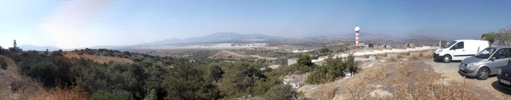
Satellite images of the trail
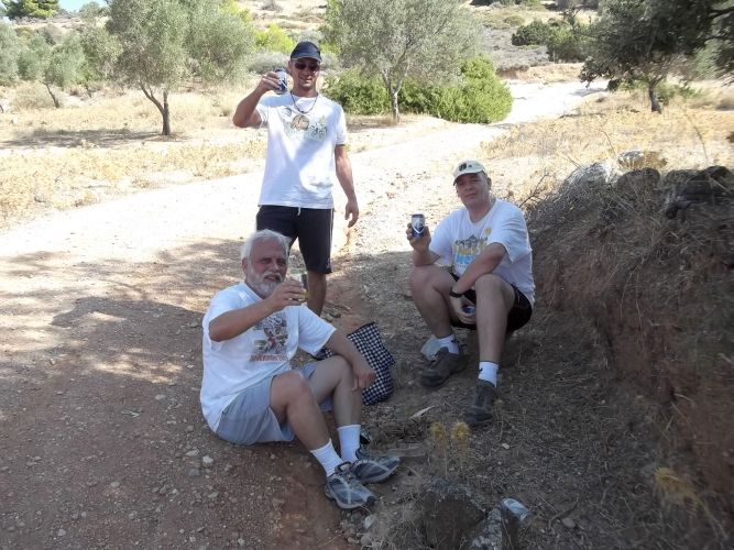
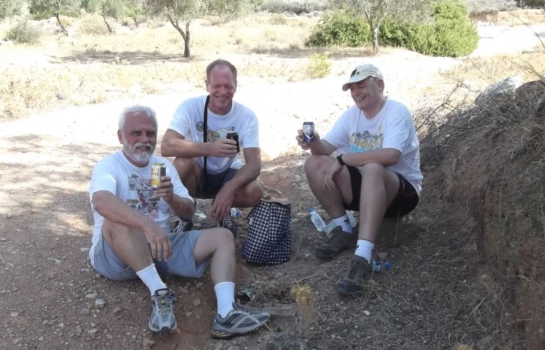
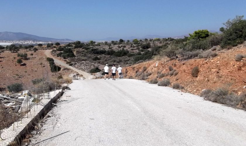
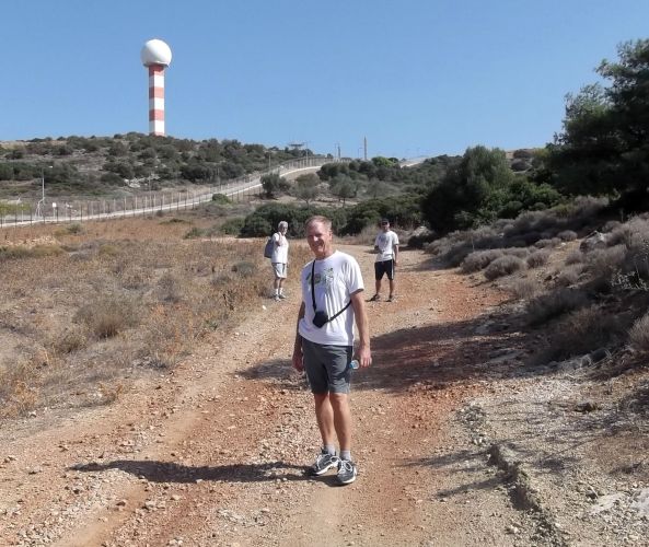
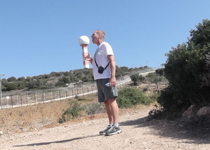
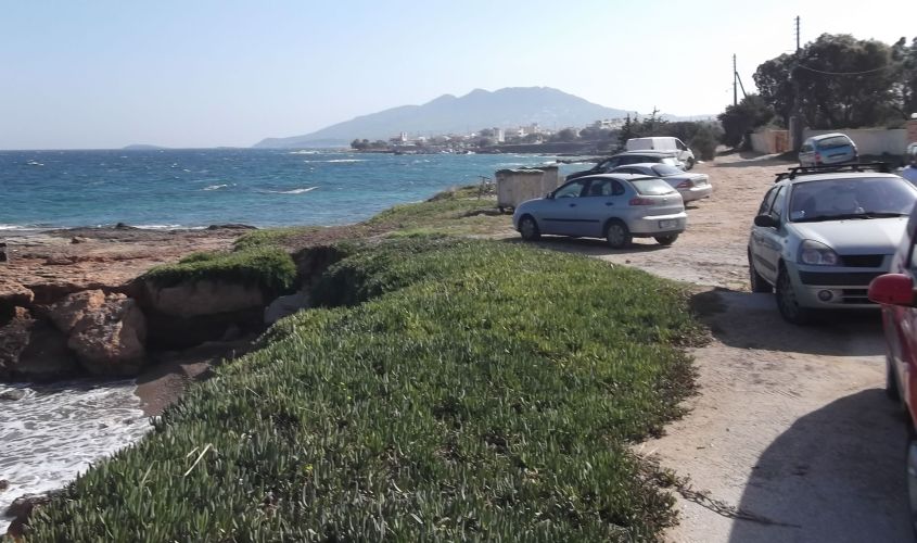
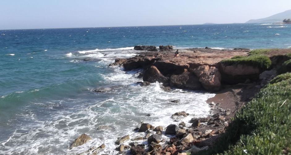
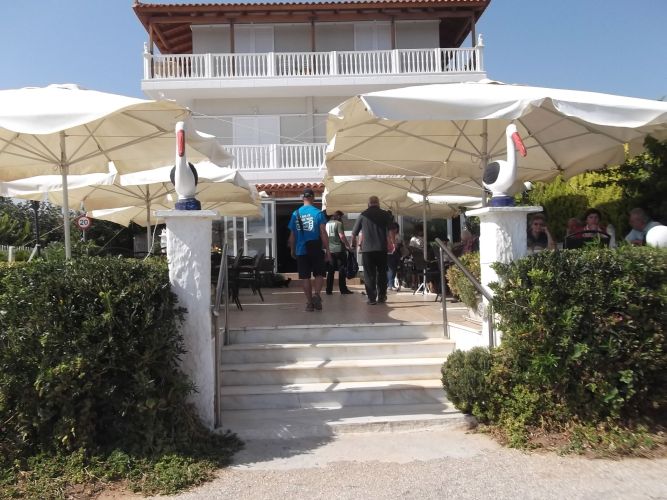
- Photos -
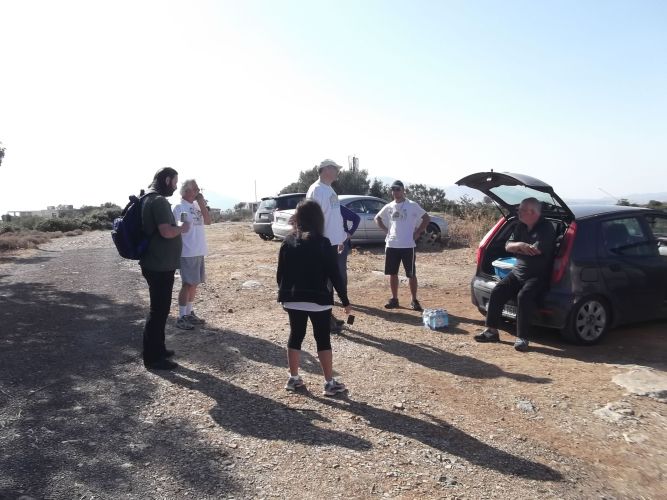
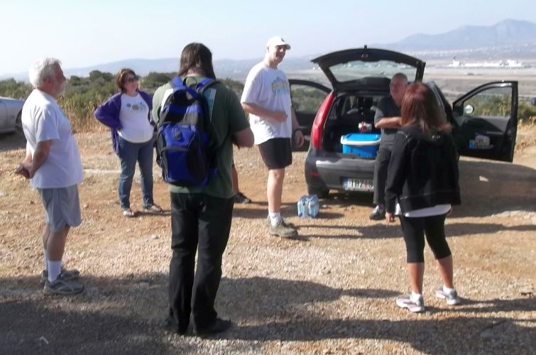
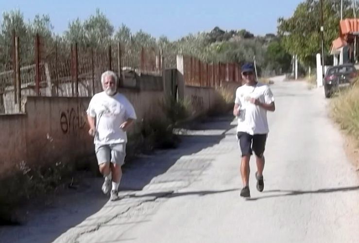
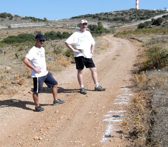
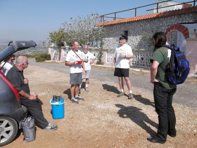
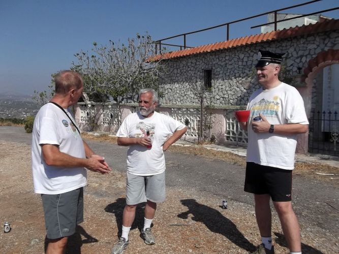
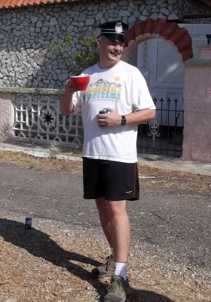
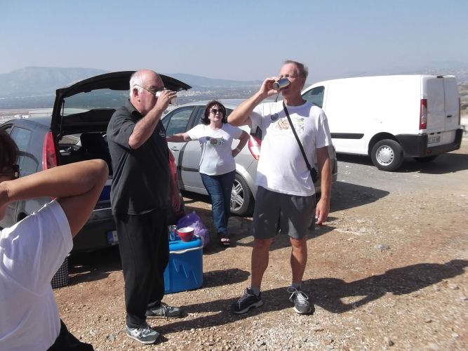
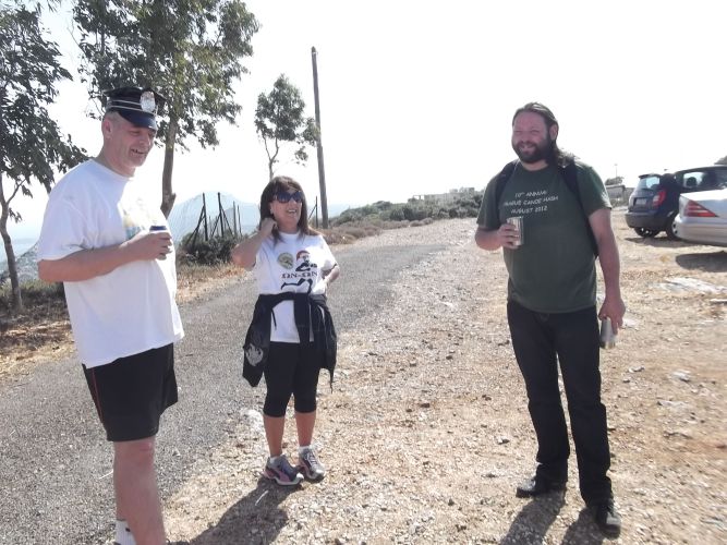
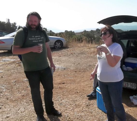
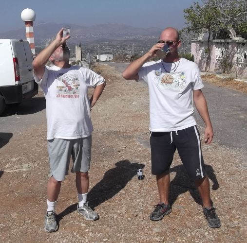
BEFORE THE RUN
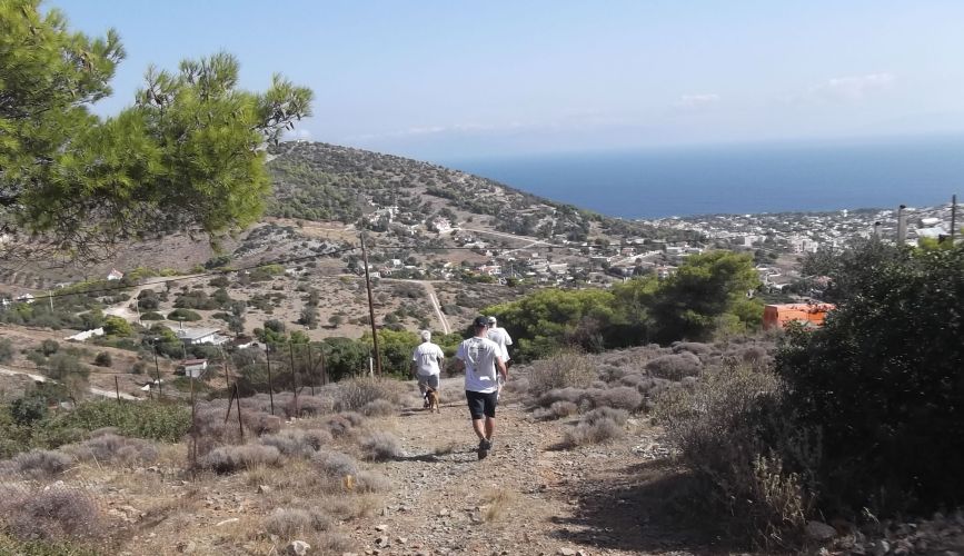
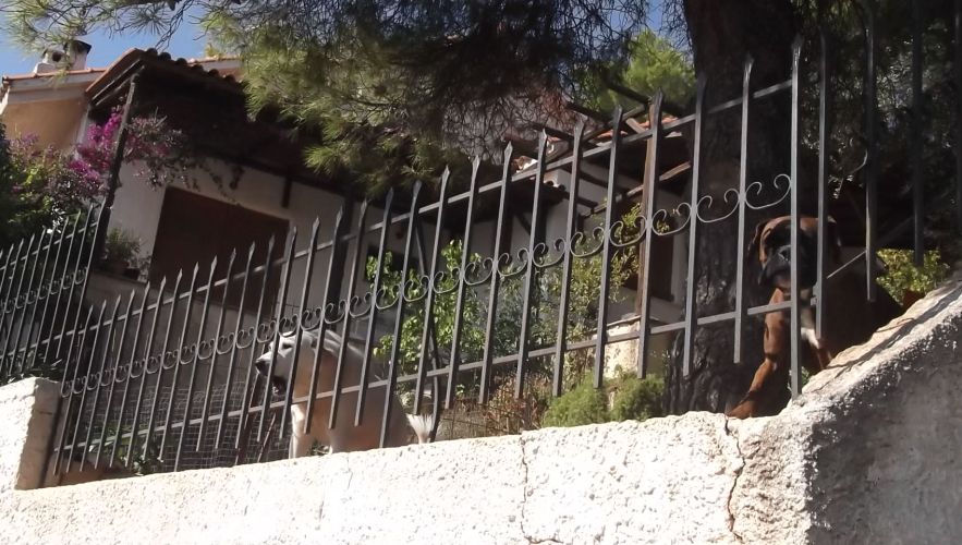
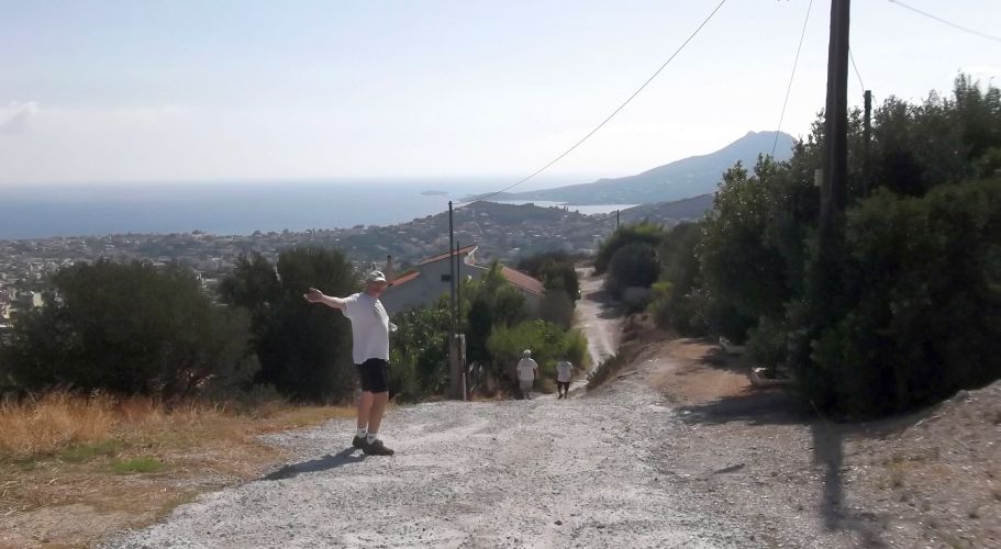
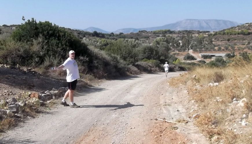
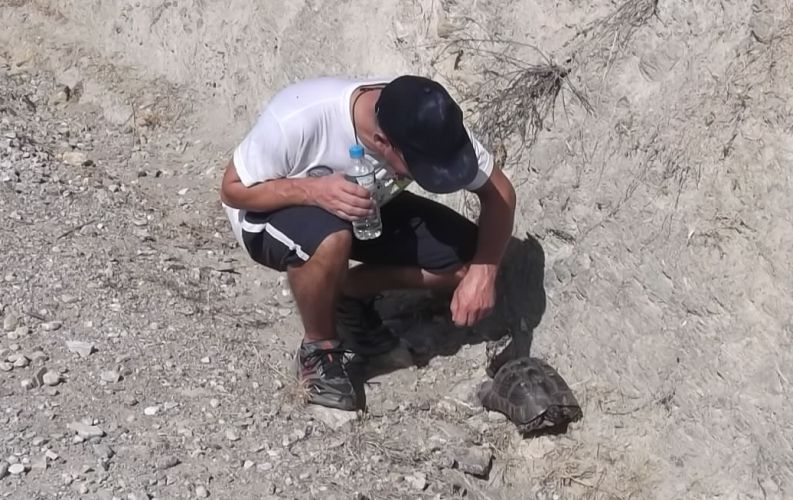
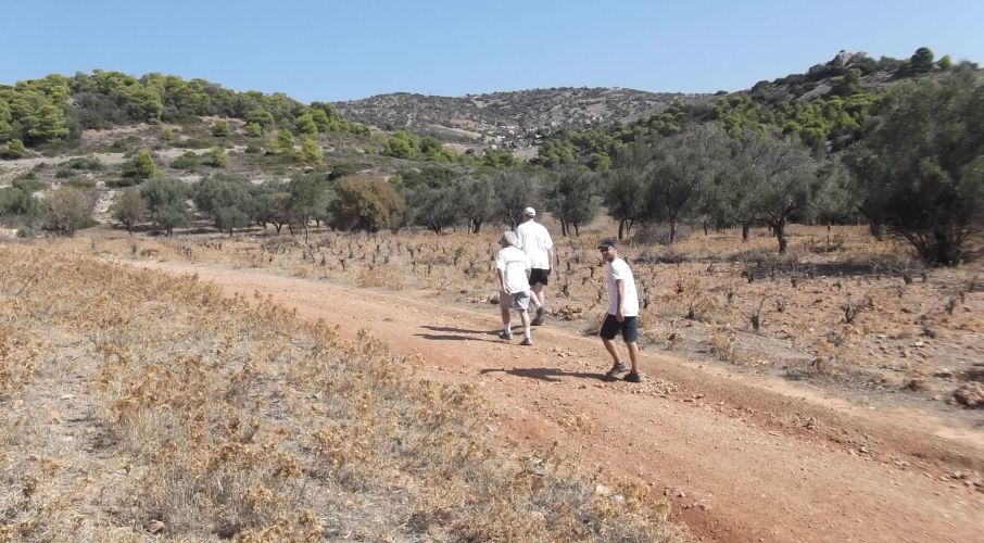
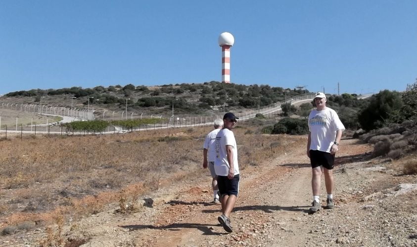
THE RUN & WALK

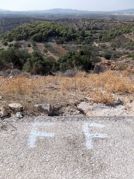
THE CIRCLE


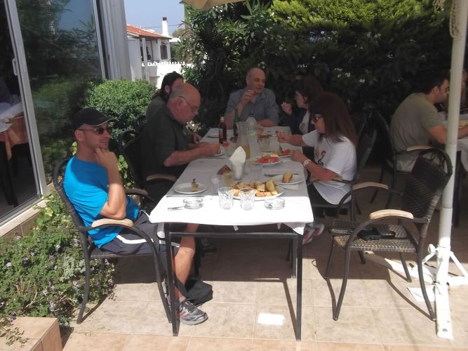
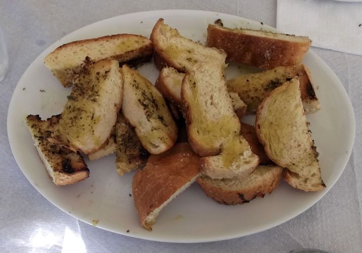
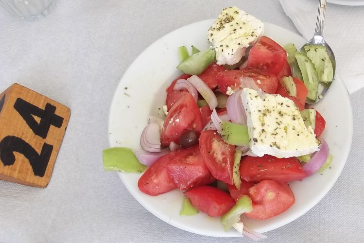
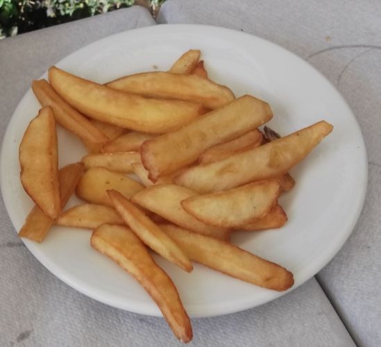
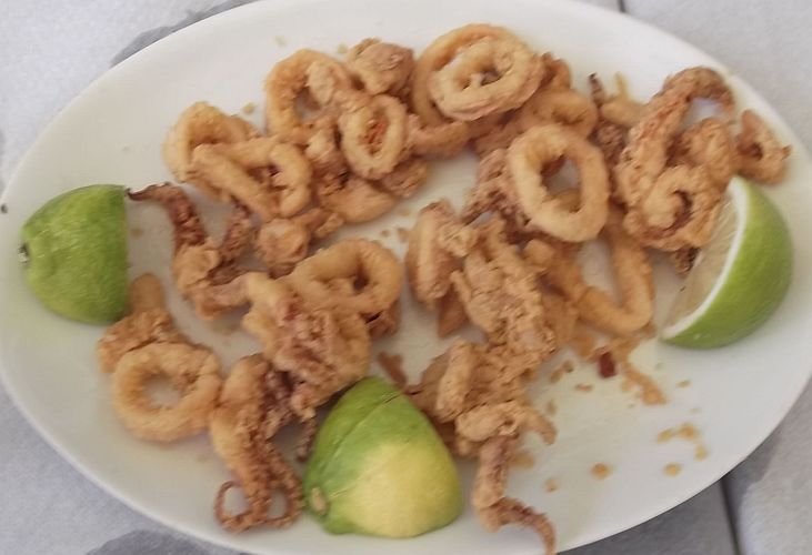
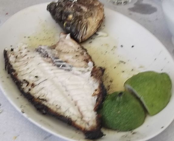
Taverna on the Loutsa Seafront
ΧΡΙΣΤΙΝΑ (Christina) ........ at Μυκόνου 16, Αρτέμιδα Τηλέφωνο 22940 49335
From http://www.ask4food.gr/estiatoria/15553-xristina

Directions to the hash (just for the record)
“Quality trails for runners and walkers, starting from the top of the hill behind Loutsa. Great views, On-inn by the sea, and guaranteed sunshine”
Directions to run 1841
37°56'53.06"N 23°59'12.19"E
For those driving from the South, and also cowards and poor navigators:
Go to the airport, drive straight past the arrivals and departures slip roads, and follow the signs for the exhibition and technical area. Ignore the warnings about "authorised personnel only", and continue to the checkpoint at the back exit (North gate). Drive confidently past the guard, who WILL open the barrier. After the barrier, turn right at the lights, on the dual carriageway towards Loutsa / Artemida.
For those familiar with the road to Loutsa:
Drive through Spata as usual, and follow the nice newly built road to Loutsa. Pass the traffic lights which mark the back gate of the airport and continue on the dual carriageway towards Loutsa.
…Continue
At the end of the dual carriageway there is now a roundabout. Take the first exit (turn right) signed to Vravrona
Follow this road up the hill for 1.7km, keep right.
There is a sharp right turn, and then as the road starts to go downhill, keep right to go uphill again. Hash signs here.