|
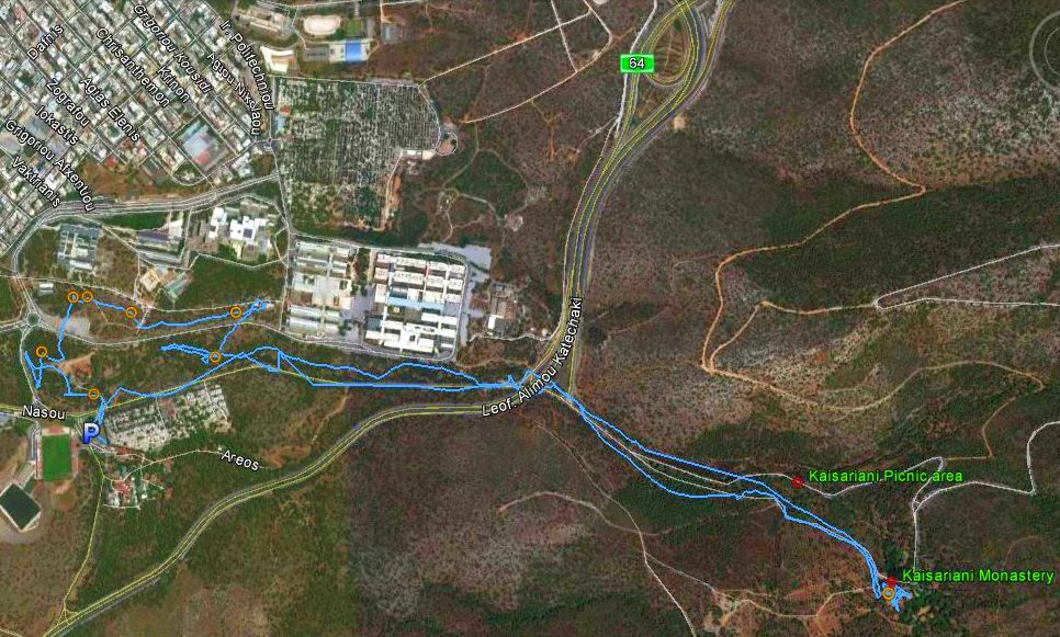
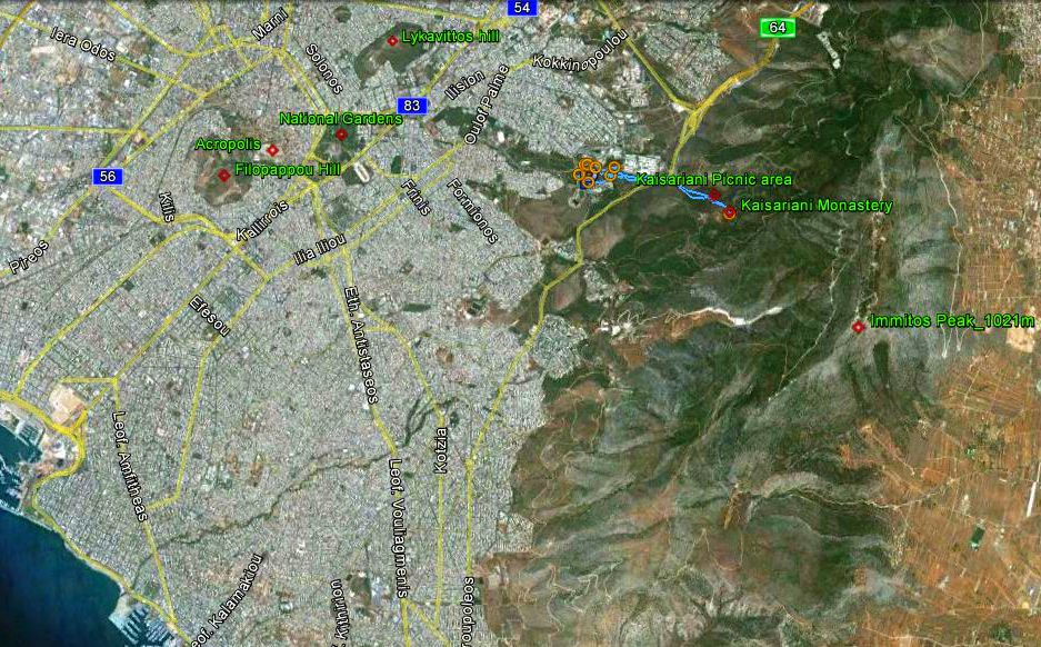
(4.4 km East from the Acropolis) |
AH3 Run 1832 Hare: Sloppy Stool |
Google elevation: 207 metres Trail length: 7.3 km |
|
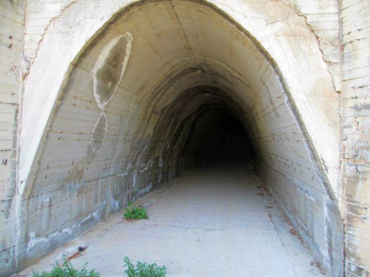
The
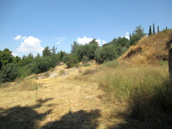
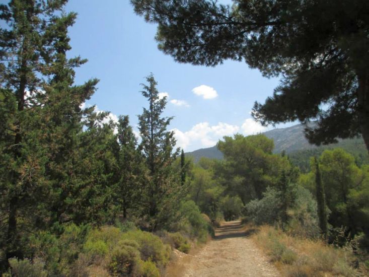
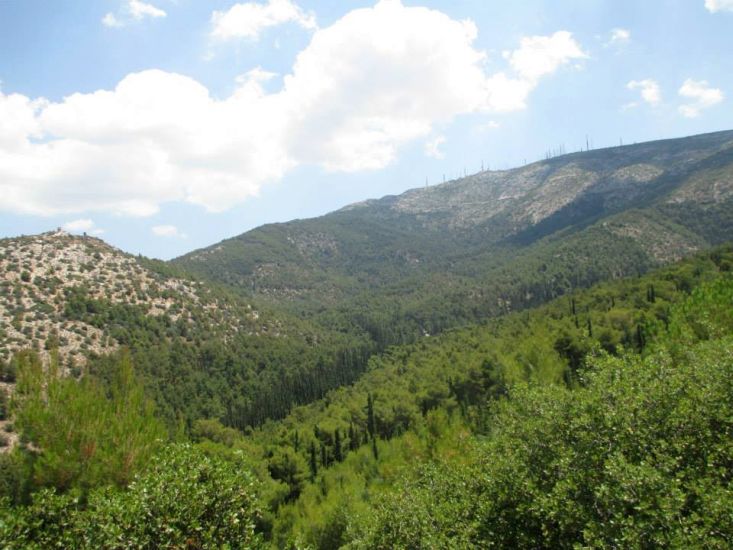
Trail |
|
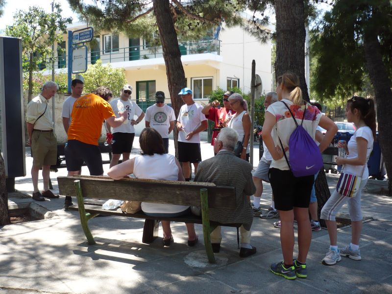
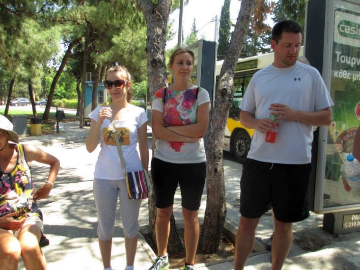
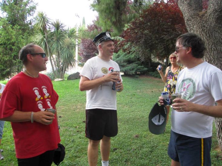
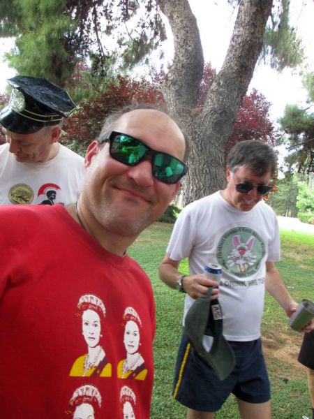
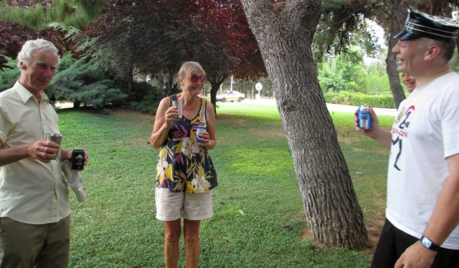
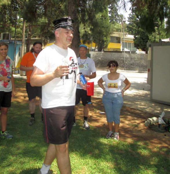
Before the run |
|
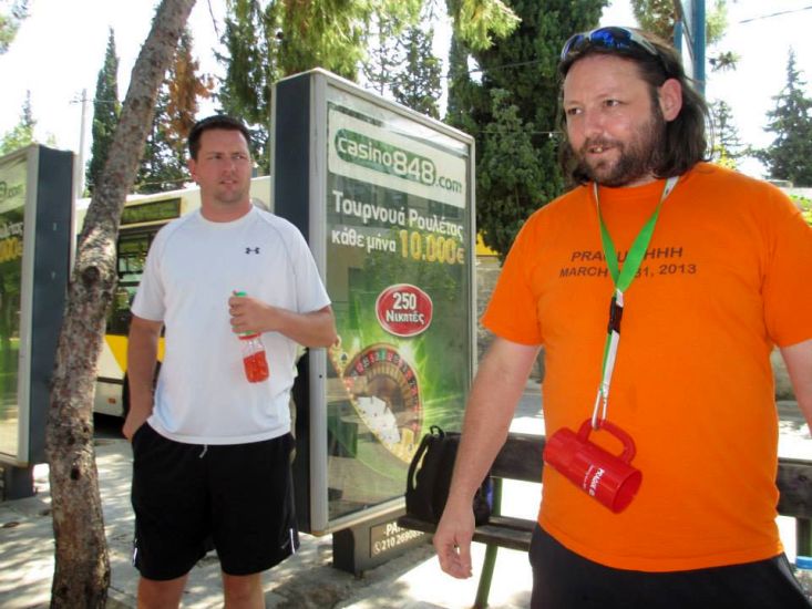
The
Run |

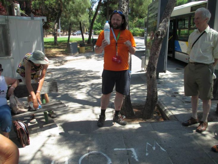
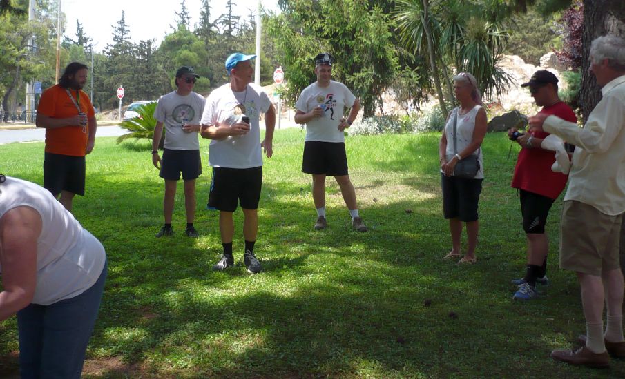
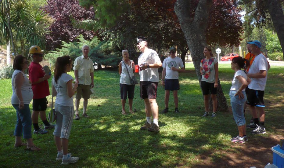
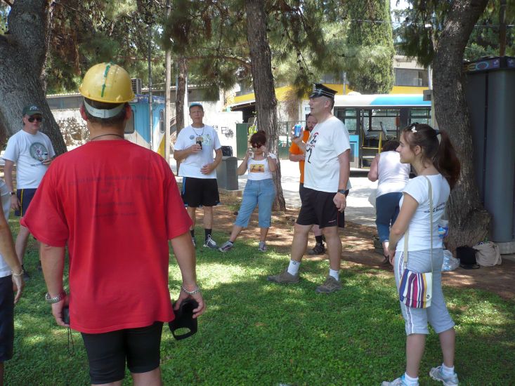
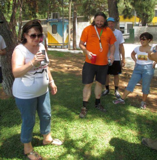
The
Circle |

|
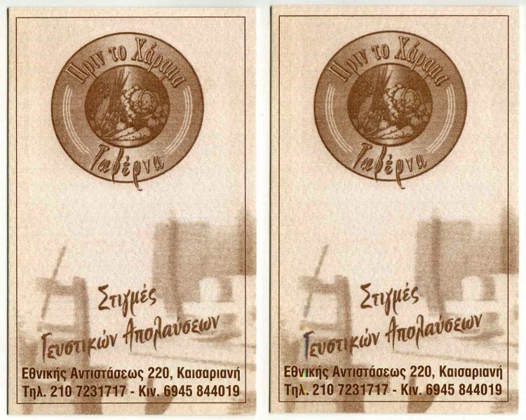
The
Taverna |
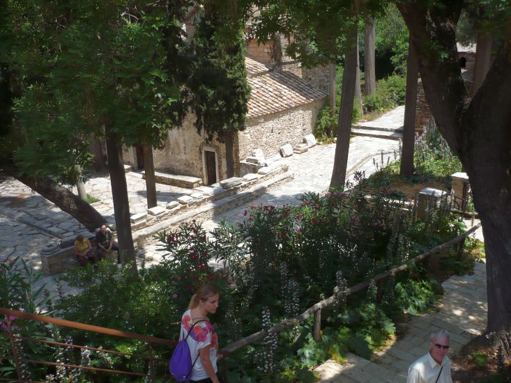
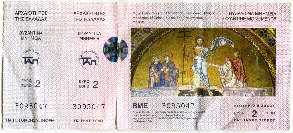
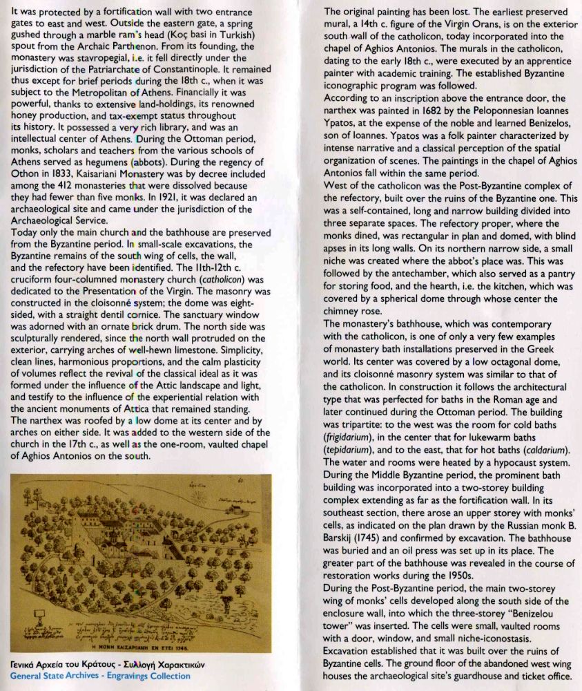
The
Monastery |

The directions to the hash - for the record |
Hash Meeting Point/Time:
Panepistimio Metro Station by the exit in front of the library on Sunday 16th June @ 11am. We'll be taking a bus at approx 11.20am, so we will leave the metro station at 11.10.
The actual hash run will start/finish in the Kaisariani area, and this is where we will get off the bus (takes around 20 minutes from Panepistimio)
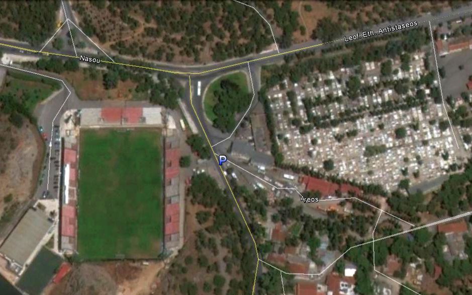
For Lazy B*ggers who want to drive to the start:
the start is near the stadium ‘Gipedo Ethnikou Astera’ in Kaisariani and it’s on 'Nasou' street where it joins 'Leoforos Eth. Antistaseos' [see B on little map below] – so take the Attiki Odos towards Imittos ring & when the Attiki Odos ends be ready to take the *exit right for Αθήνα/Athina/Καισαριανή/Πανεπιστημιούπολη/University Campus and then keep right at the next fork, follow signs for Kaisariani and merge onto Leof. Eth. Antistaseos, soon you will see the Gipedo Ethnikou Astera stadium on your left hand side (see the lights on tall poles). There is a church on your right hand side (up a driveway) opposite the stadium where you will be able to park (street parking is possible too). There is also the bus depot where we meet those hashers coming by bus. If you miss the *exit above take the next one on the right and it should lead you to the same place…..