|
Mt. Pendeli @ Kite Hill on Clean Monday |
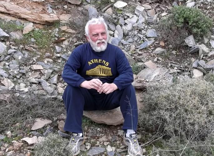
AH3 Run 1819 Hare: Mad Dog Photos: Mad Dog |
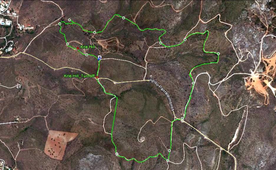
Google elevation: 450 metres Trail length: 5.4 km |
|
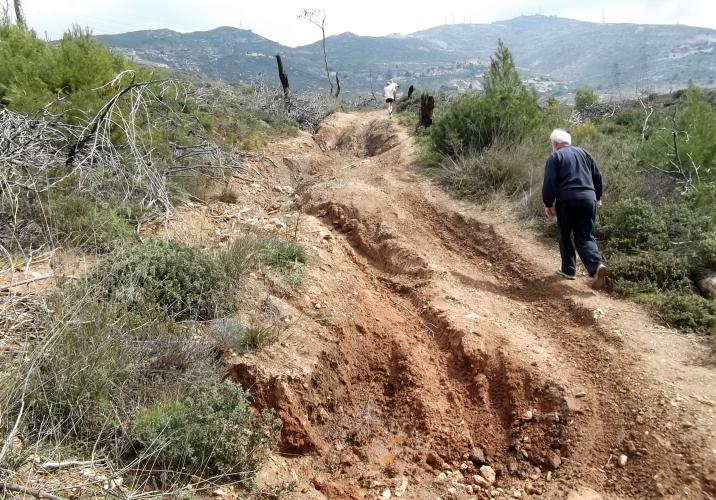
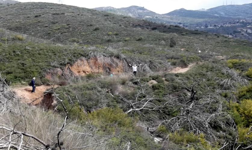
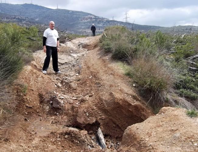
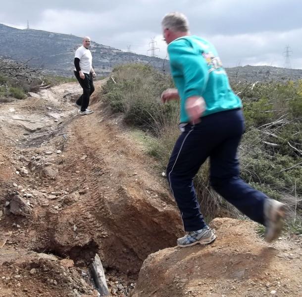
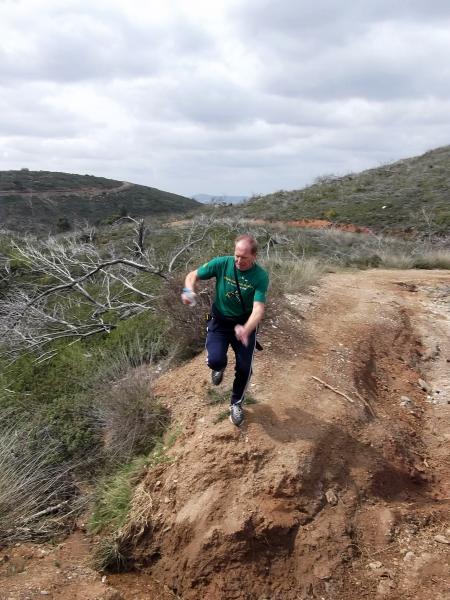
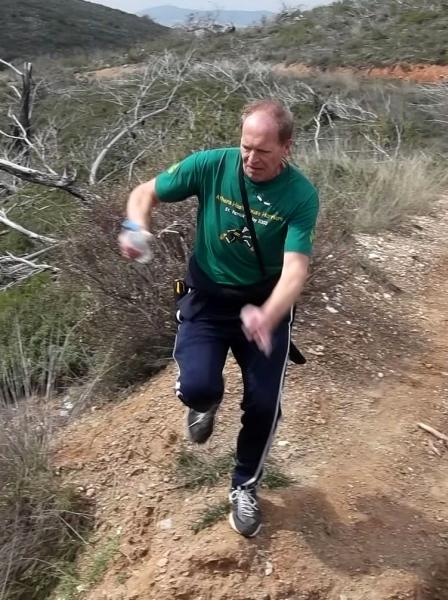
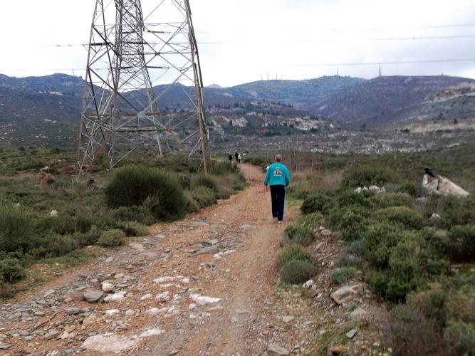
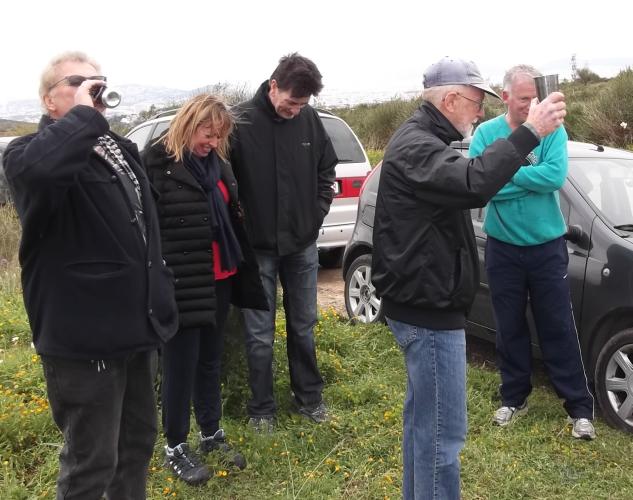
The
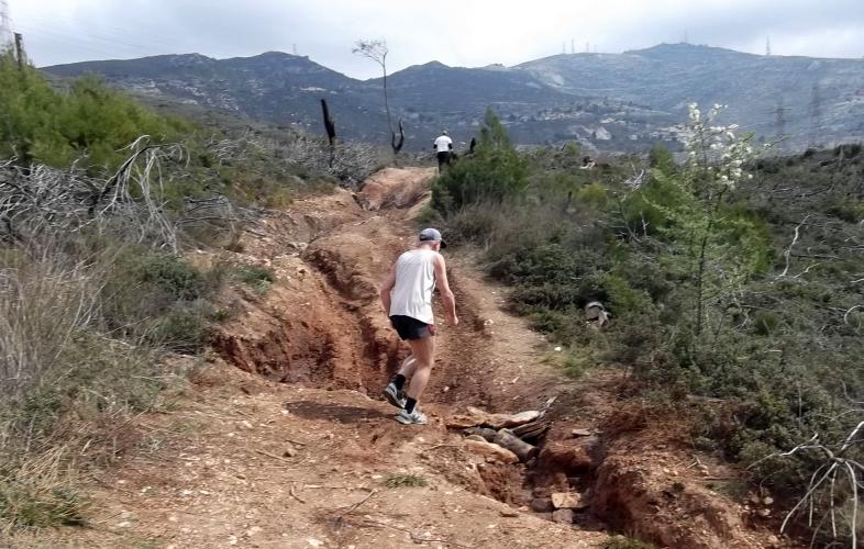
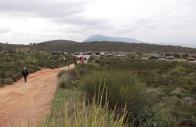
Trail |
|
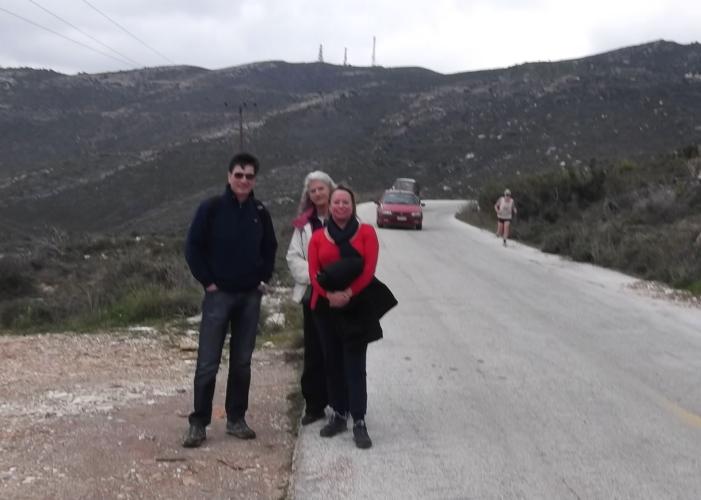
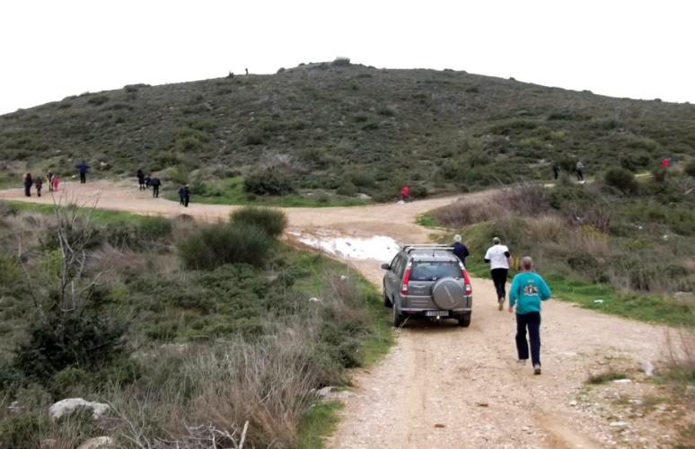
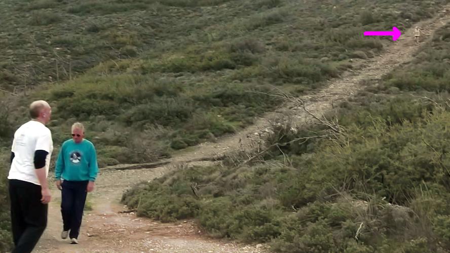
The
Run and Walk |
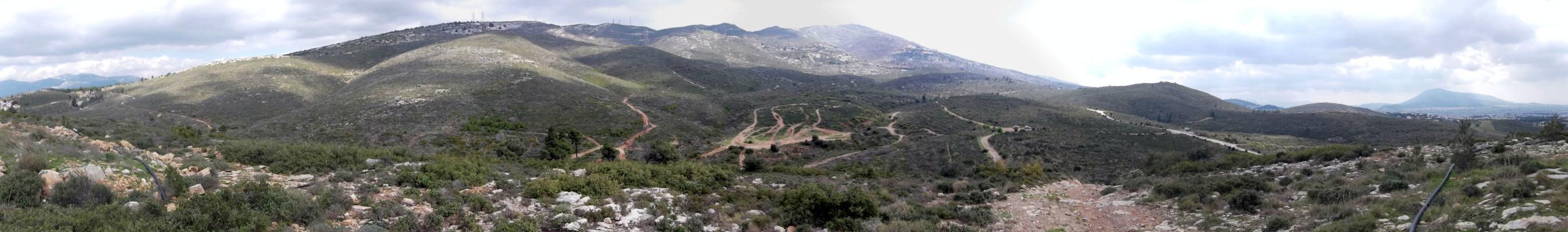
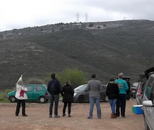
Panoramic view from the top of Kite hill >>>>> Scroll right to view >>>>>
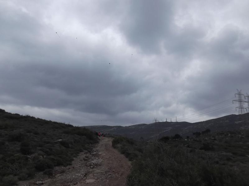
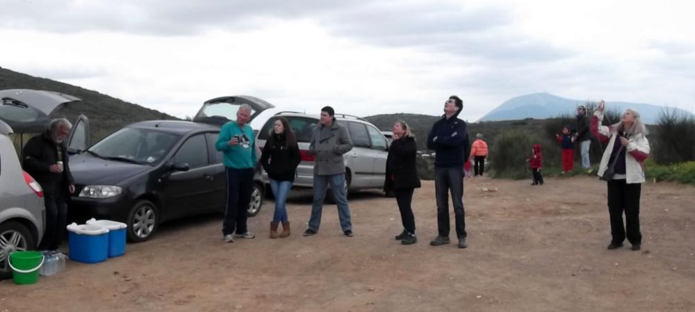
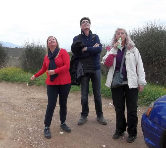
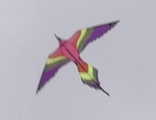
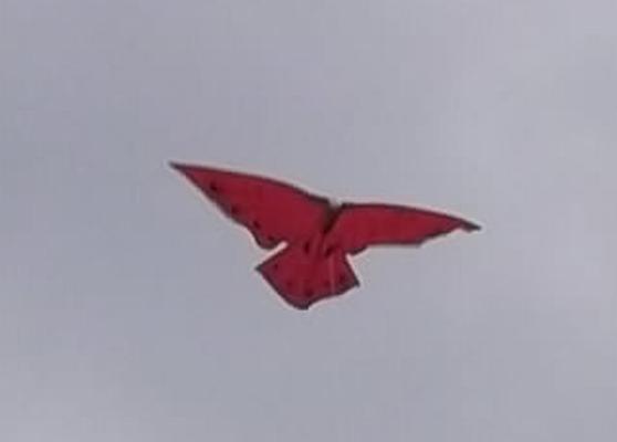
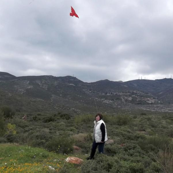
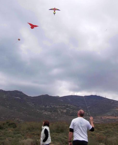
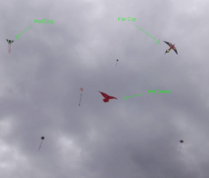
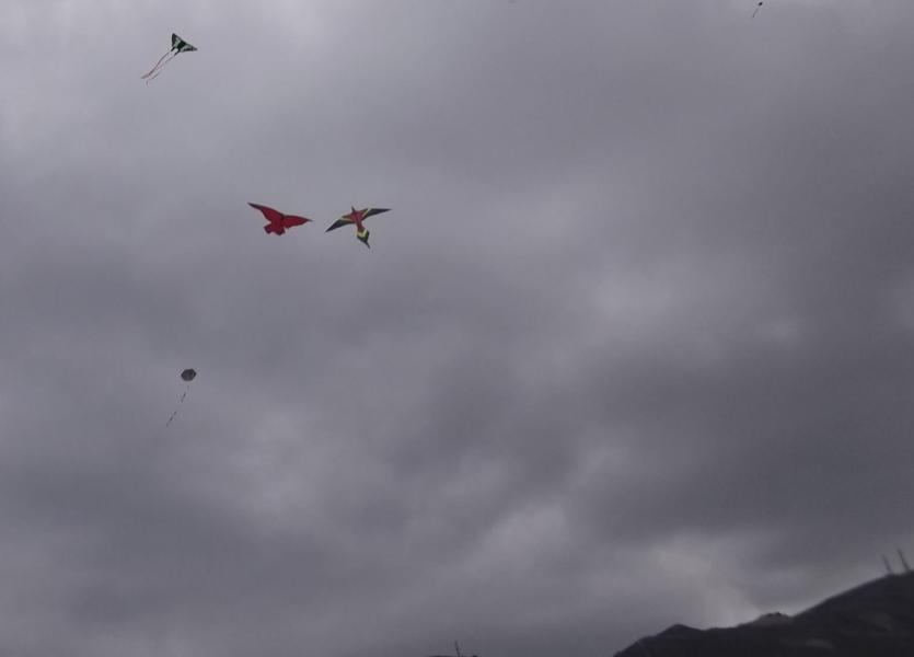
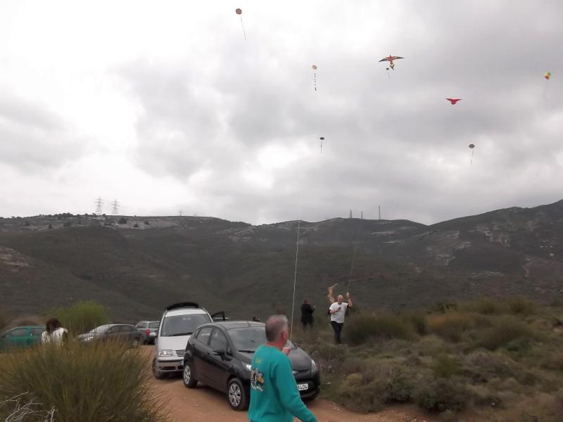
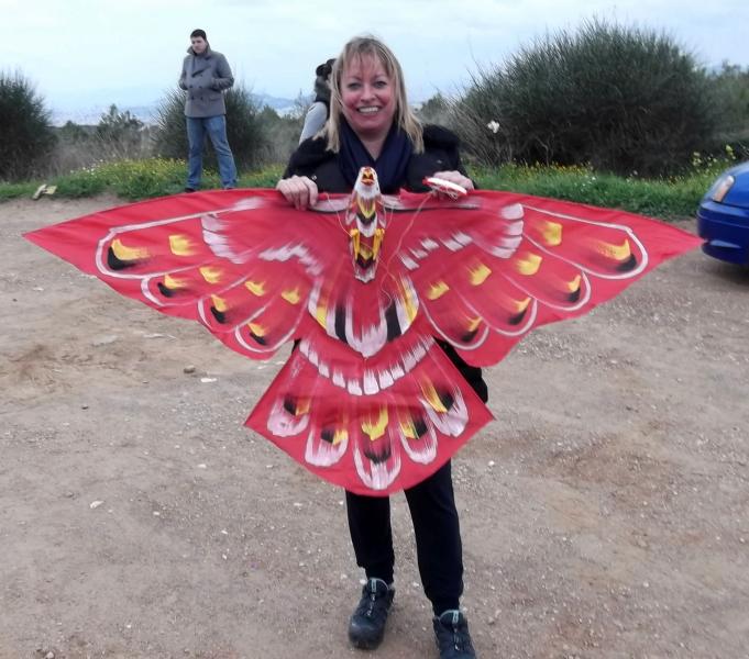
Kite Flying (A tradition in Greece on Clean Monday) |

|
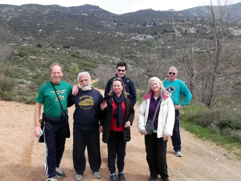
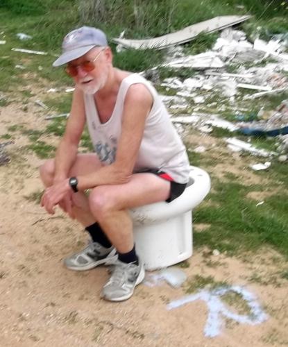
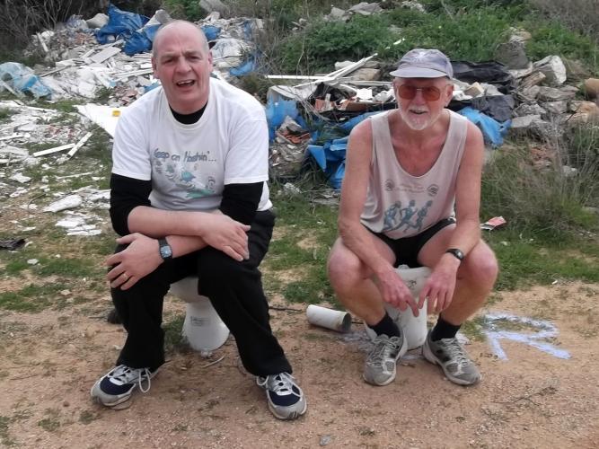
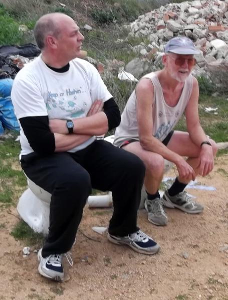
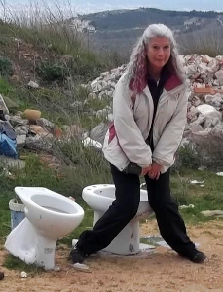
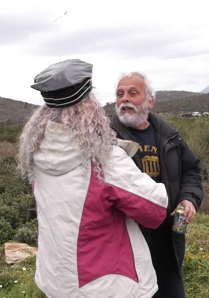
The
Circle |
|
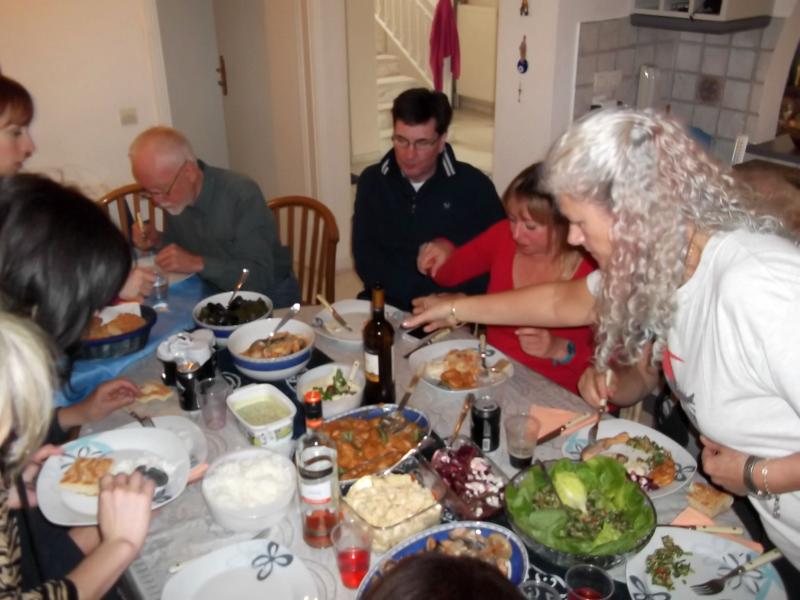
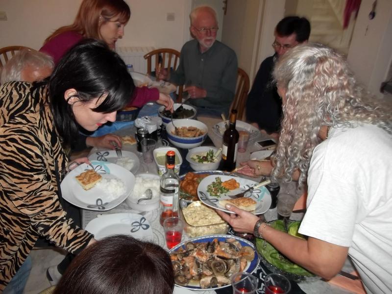
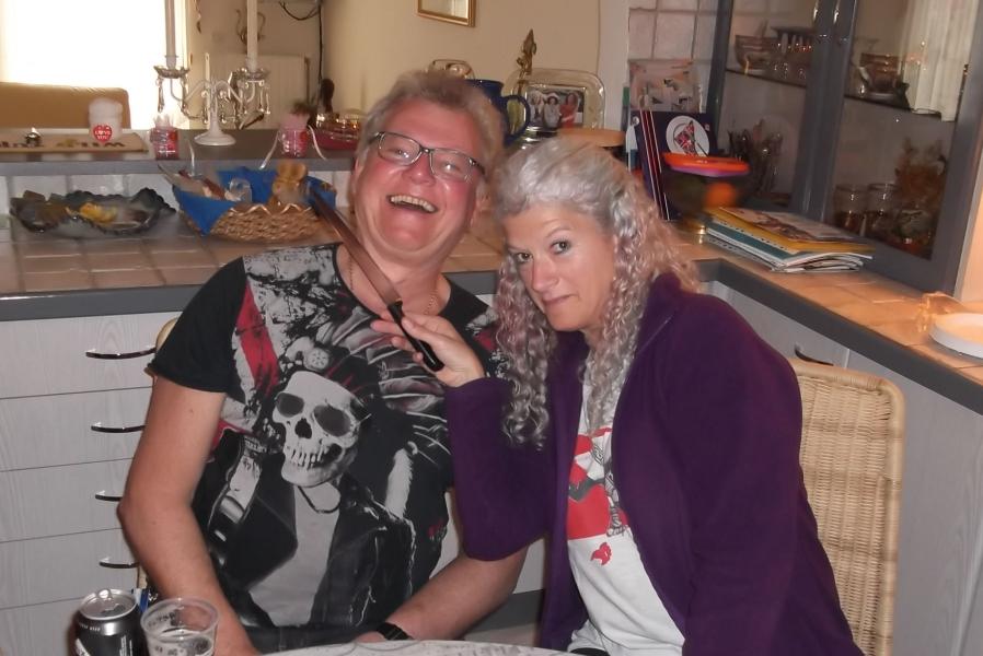
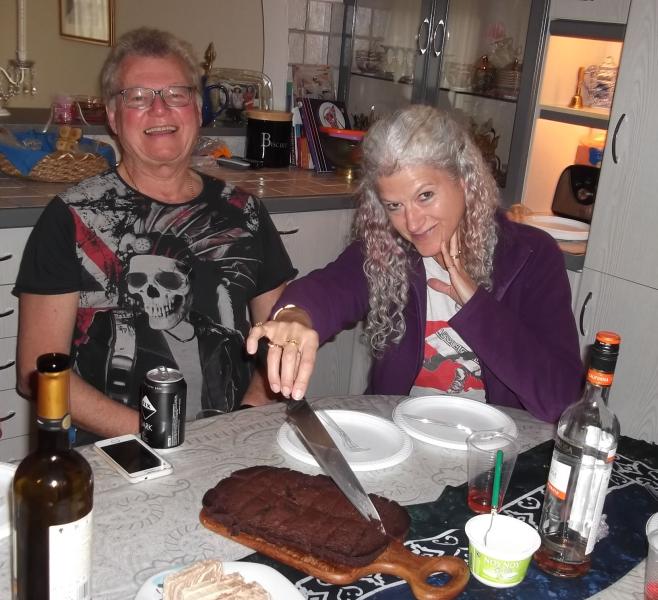
The
Meal |

The directions to the hash - for the record |
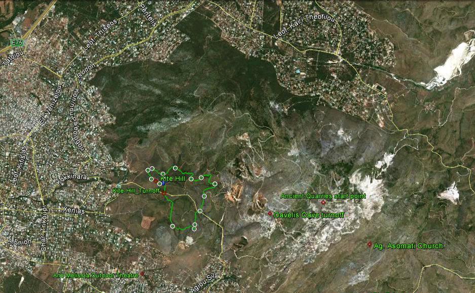
Venue: Along the back road from Kefalari to Nea Pendeli (round the base of Pendeli mountain).
The road is called Agou Padelimonos. Stop when you see a brown wooden sign saying S.P.A.P. There will also be a HHH sign.
(Turn-off onto dirt road). If your car has a low chassis you can park on the roadside. Just a short walk up the dirt road.
Careful, there can be fast traffic on this road!
GPS: 38° 4'43.15"N, 23°50'49.54"E
NOTE: The kite-flying hill is close to where we will park.
Bring a kite (most supermarkets have them) & let's hope for some wind.
The On-Inn will be at Mad Dog & Doggie Style's pad in Ano Melissia. We will convoy there.
Easiest parking is around the open air theatre and then walk up the road.
PLEASE BRING Clean Monday (non-meat) type food to share such as: starters (taromosalata, etc), salads, vegetable dishes, pulses (peas-beans), fish-based dishes, or sweets & fruit. Also bring the drinks you like.
DIRECTIONS
>From the southern suburbs of Athens:
Drive North up Kifissias Avenue, through Marousi, past the KAT hospital turning and through Kifissia Centre to Nea Erythrea. As you approach Nea Erythrea, there is an AB store on your right and about 200m later a set of traffic lights (and after, a Shell petrol station on the right). Turn right at the traffic lights into Harilaou Trikoupi street.
Follow this road for about 1.5km and turn left at the third set of traffic lights into Xenias street. (If you pass the pink and green Semiramis Hotel on the left, you have gone too far.)
Head up Xenias street for 1.15 km and after the end of the houses turn left onto Sporadon street (cross roads) which is the back road to Nea Pendeli.
Follow this back road for 1.5 km and look for a hash sign pointing up a dirt track on the LEFT. We will meet along this track (as on previous hashes).
An alternate venue may be at 2.4 km on the right (with a hash sign) if there has been heavy rain and we find the dirt road is too muddy for cars.
If you reach the junction on the left (at 2.5 km) leading up the mountain to the Monastery (you will see a brown sign saying "Ag. Padelimona monastery 3 Km" and a yellow sign saying Dimos Kifissia) you have gone TOO FAR!
>From the northern suburbs of Athens:
Get to Melissia high street going north & pass through the main shopping area. Continue up through Melissia high street & come to a busy junction.
(Note an Alpha Bank on the left and a Eurobank on the right).
Go straight ahead (a slight left & right turn required) for Nea Pendeli (Do not bear right for Vrilissia).
Reset your Odometer (Kilometres) to zero at this junction.
GO TO CONTINUE...
CONTINUE:
0.0 Melissia junction
(Note - in about 100 metres you pass the Melissia Post Office on your right)
0.5 Take RIGHT lane at the division in the road - so continuing straight & keep straight on
2.2 (about) Pendeli mountain looms ahead
2.6 Turn LEFT at junction with stop sign (and proceed up short steep hill section) & keep straight.
3.0 Road narrows, then sharp left-hand bend.
3.4 Road levels out. View of pine trees on mountainside.
4.1 Pass under pylon cables.
4.2 Pass the turning to the right going up the mountain road and signposted "Ag. Padelimona monastery - 3 Km". Also yellow Dimos Kifissia.
In 40 - 50 metres look left for a possible alternative venue (with hash sign)
Continue for about 800 metres and look RIGHT for a dirt track & left & opposite for a brown wooden sign saying S.P.A.P.(with hash sign). We will meet along this dirt track (as on previous hashes).