|
(A bit SE of Athens centre) |
AH3 Run 1818 Hare: The Bookmaker |
Google elevation: 219 metres Trail length: 6.74 km |
|
The
Trail |
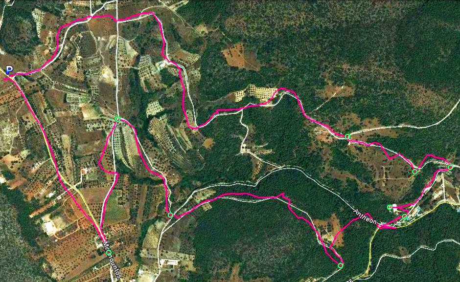
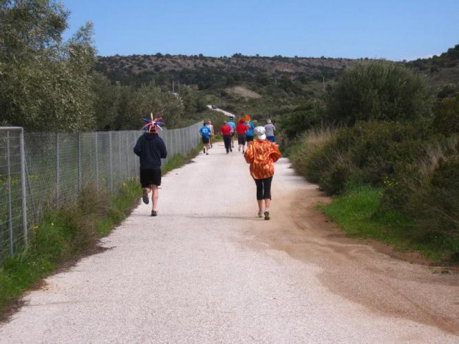
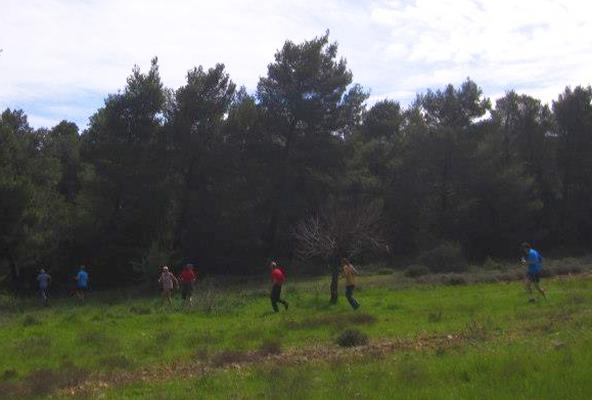
The Bookmaker's trail went counter-clockwise (view from 1.9 km up)
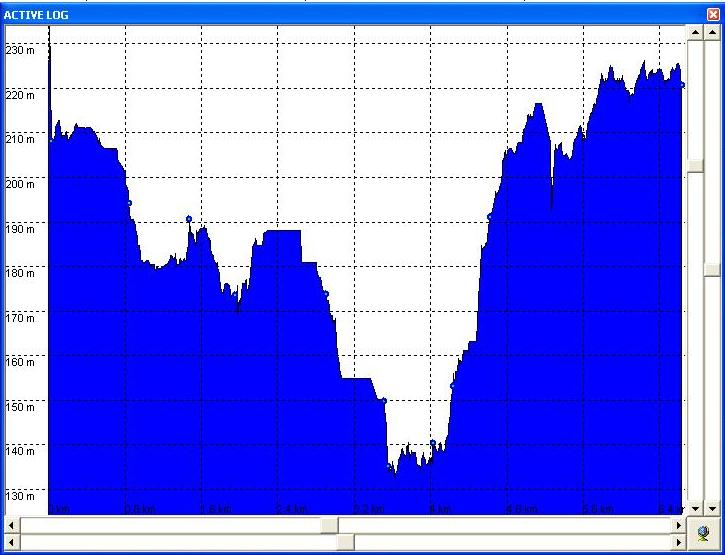
Altitude profile of the trail
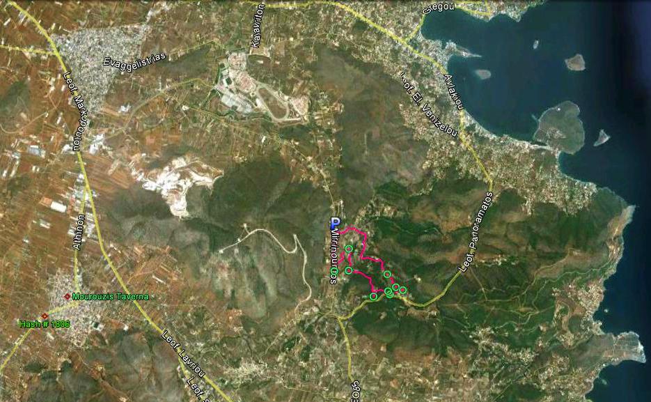
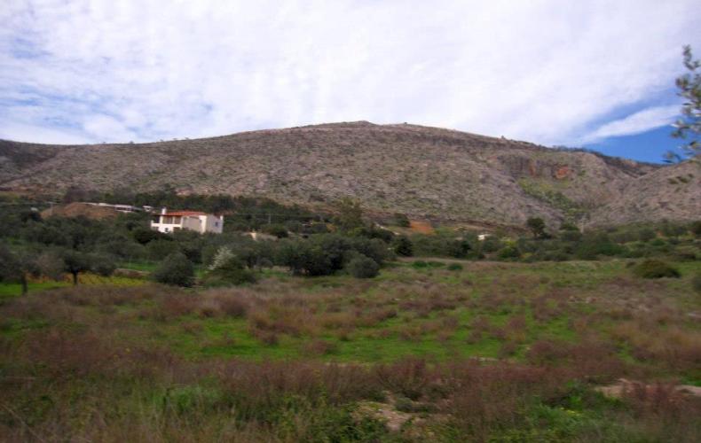
View from 12.5 km up showing the equestrian centre and race track
|
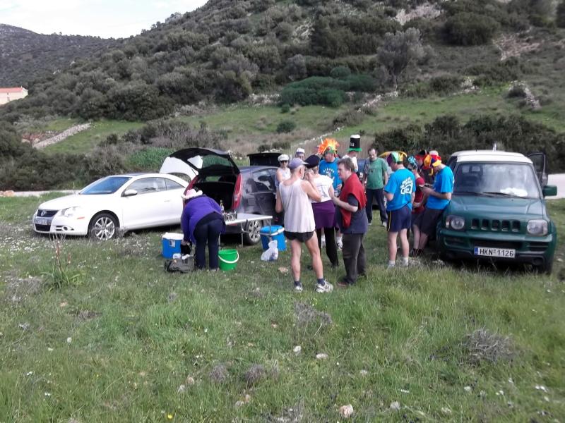
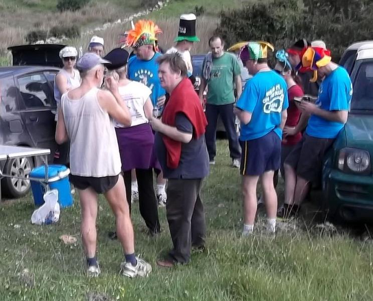
Before the run |
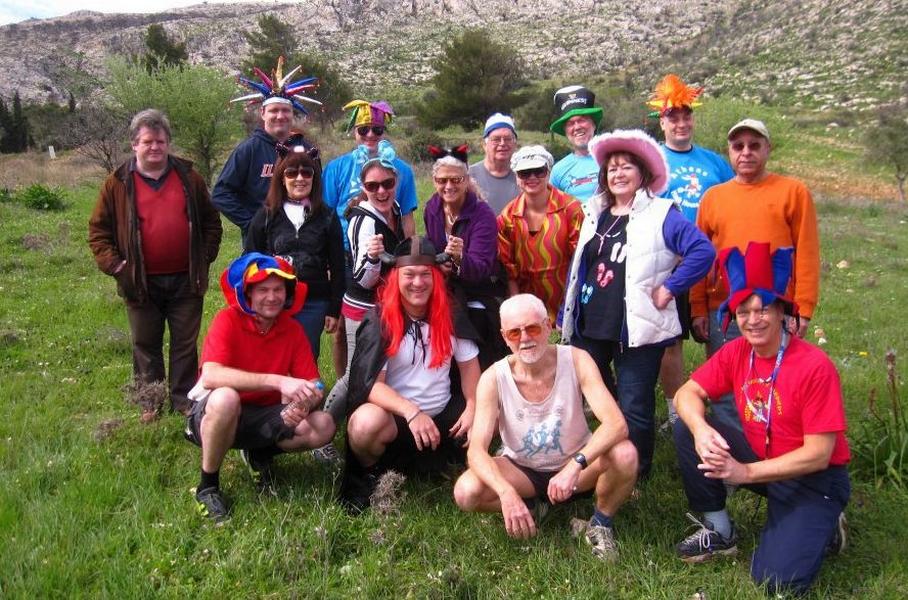
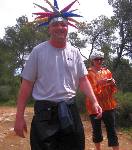
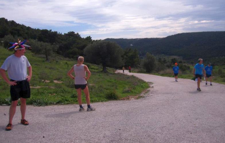
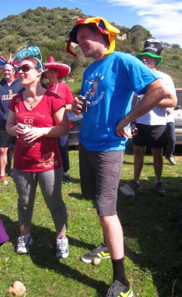
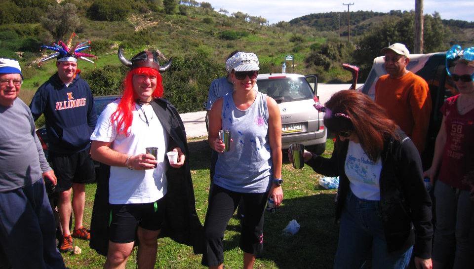
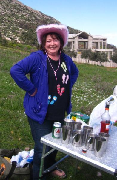
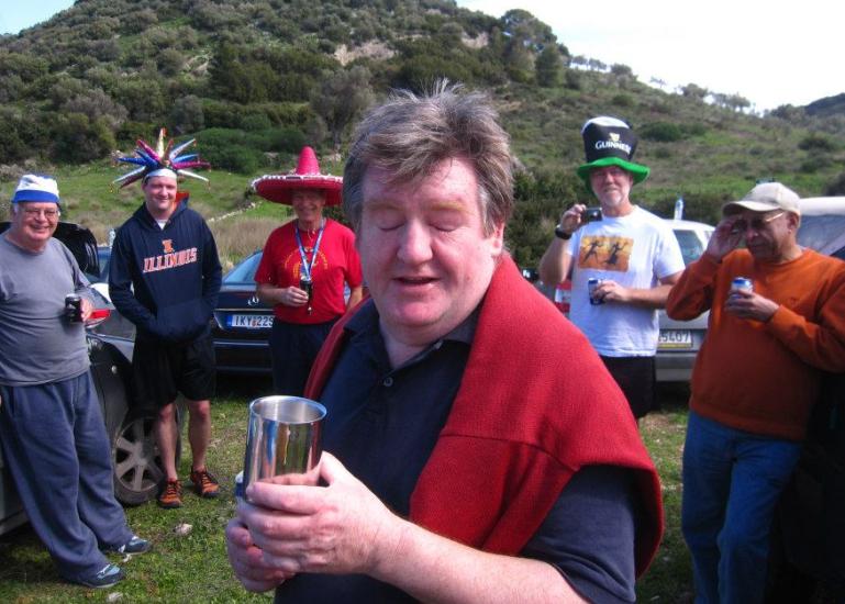
Yes, it's carnival season in Greece
|
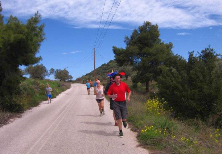
The
Run |
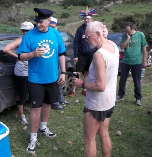
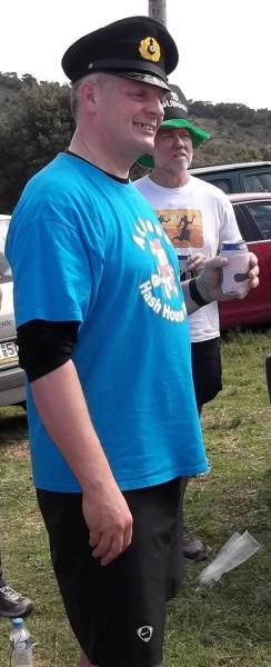
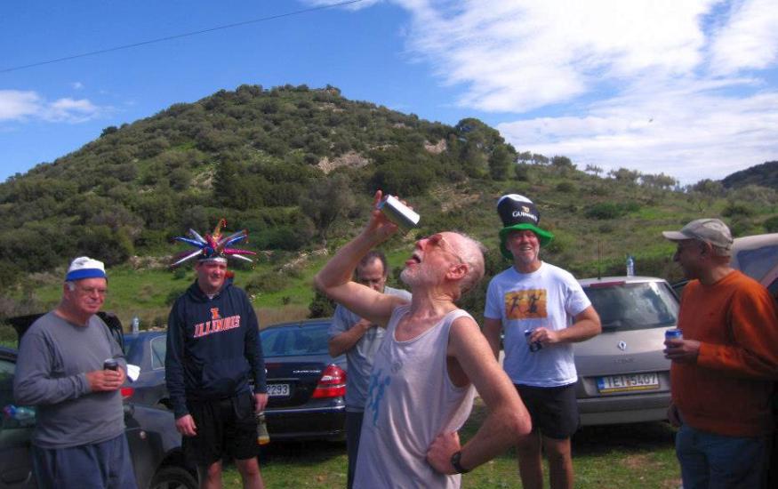
The Bookmaker
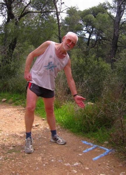
The hare and a falsie (marked with a very neat "F")
|
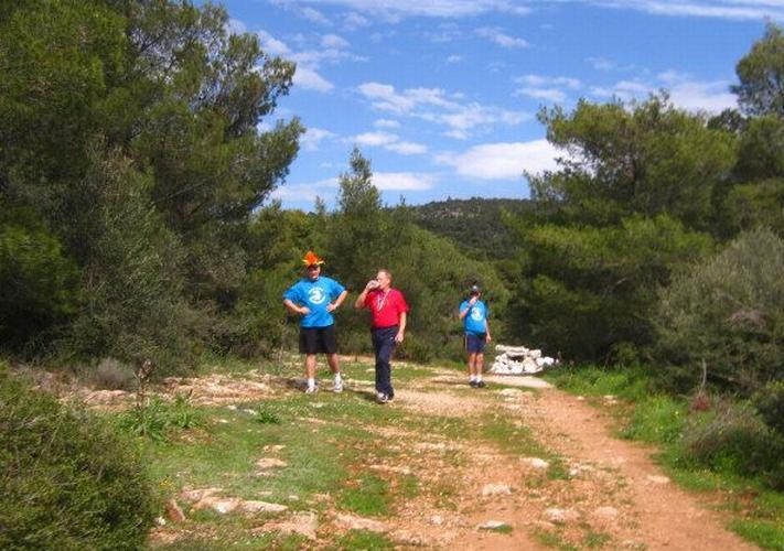
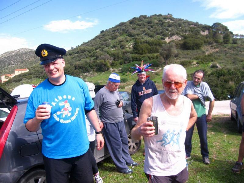
The
Circle |
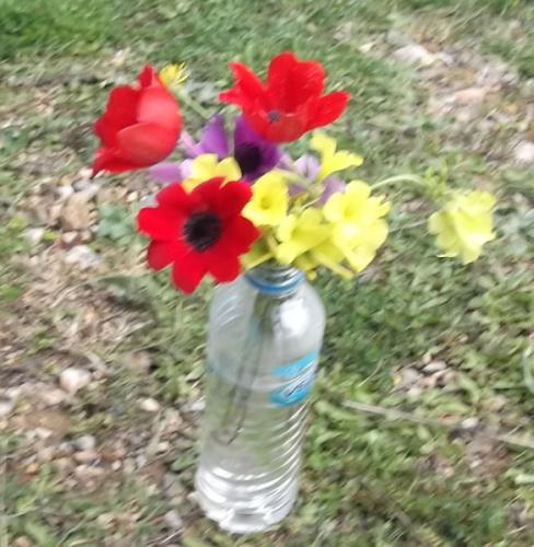
Spring is Sprung (almost)
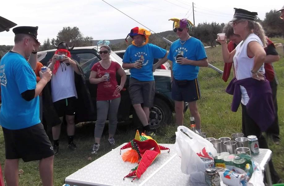
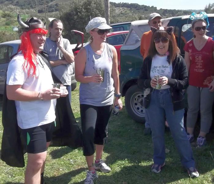
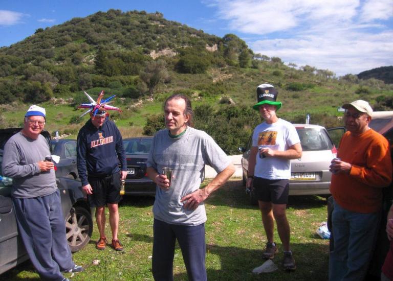
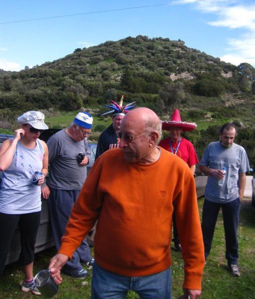
The circle commences
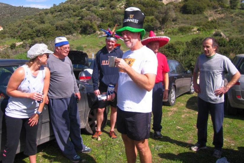
The hare's down-down
Visitors from Finland - Captain Sumo's sister and her husband

Rocket Socket entertains our visitors
Thrice Nightly
Captain Sumo with Alethea and Doggie Style
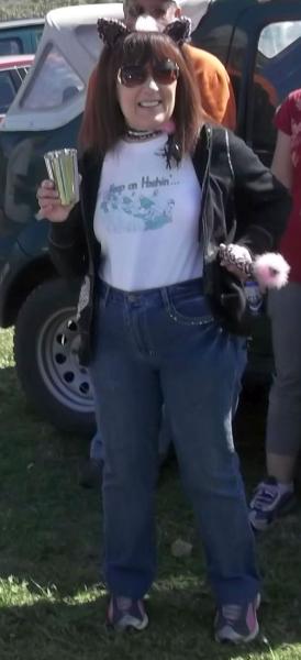
Doggie Style shows off her tail
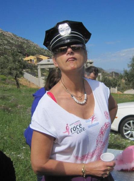
RA Fair Cop
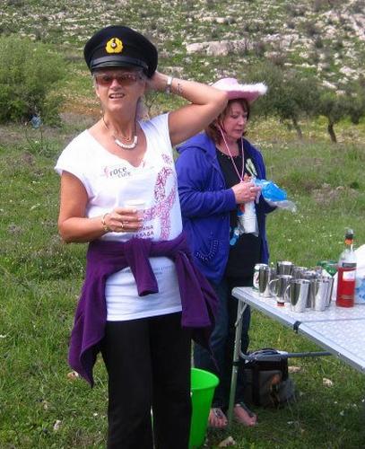
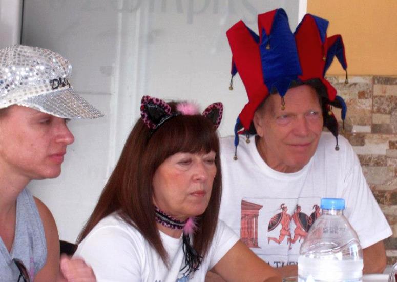
Clitoria tries different hats
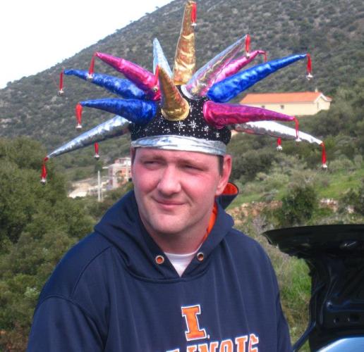
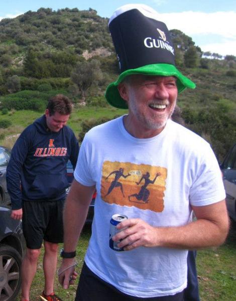
Super jester hat
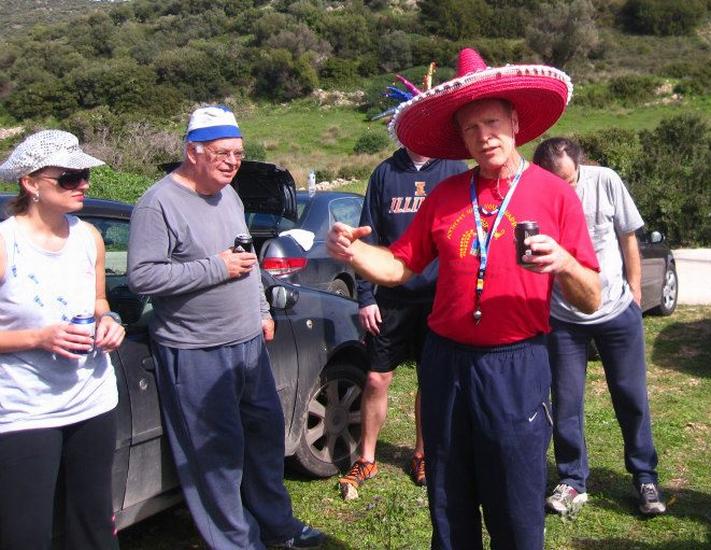
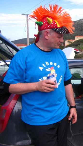
GM Mad Dog in his sombrero
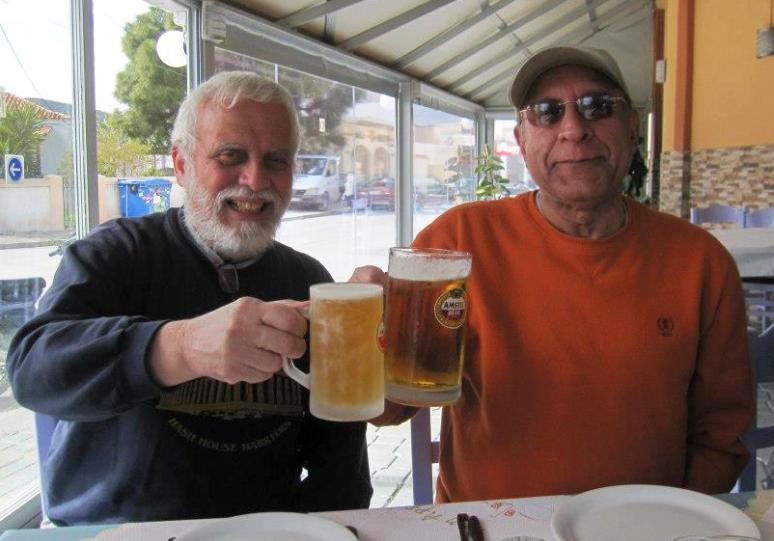
Our Hash Cash Wet Dream takes a break from pouring the beers
Good to the last drop .... The Bookmaker
Rim Job
Formosa Flyer
Heavy Breather
Thrice Nighly
|
The
Taverna |
Mountain Goat with Formosa Flyer
Alethea, Doggie Style, and Mad Dog
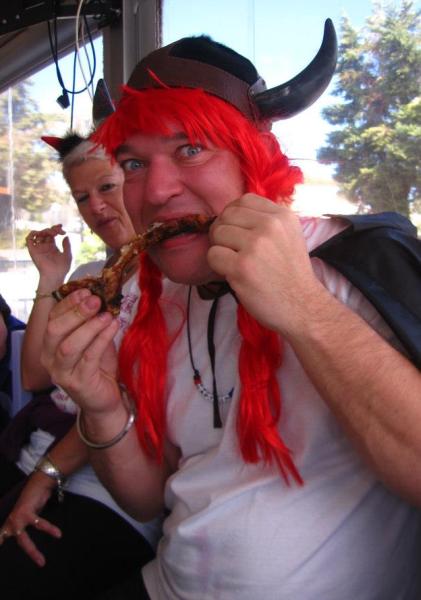
Captain Sumo demonstrates the Viking meat-eating technique
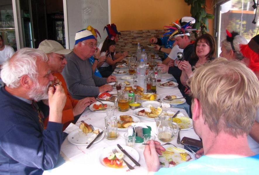
Sotiris souvlaki taverna in Markopoulo
12 euros each including tip
Kokoretsi, pork giro, pork chop + starters, beer, red and white wine etc.

The directions to the hash - for the record |
BTW: It’s still Carnival period so funny dress is acceptable and encouraged!!!
Directions:*
Take the Attiki Odos as if going to the Airport Follow the signs to Markopoulo.
i.e. do NOT take the turn off right to the airport.
Continue along this road towards Markopoulo (& Lavrion)
You pass a Tyrokameio on your right (Cheese Emporium)
As you approach Markopoulo there are 2 sets of lights.
Do NOT take the first set or the second set 200 meters later.
Keep going towards Lavrion and pass a LIDL on your right.
Zzero your odometer as you pass LIDL.
1.8 km later there is a junction with traffic lights.
(signposted for the Olympic Equestrian Centre & Racetrack)
Turn left here as if going to the Equestrian Centre or racetrack**
*2.2 km down this dual carriageway there is a junction
(this is where a small road crosses the road to the racetrack).
Turn RIGHT here and continue along this small road.
Follow this road for 5.6km. Parking is on the right on the grass.
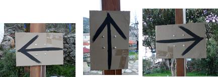
**There will be cardboard signs marked with black arrows starting from the turnoff to the racetrack*
GPS directions to the starting place: 37° 50.792'N 23° 59.307'E