|
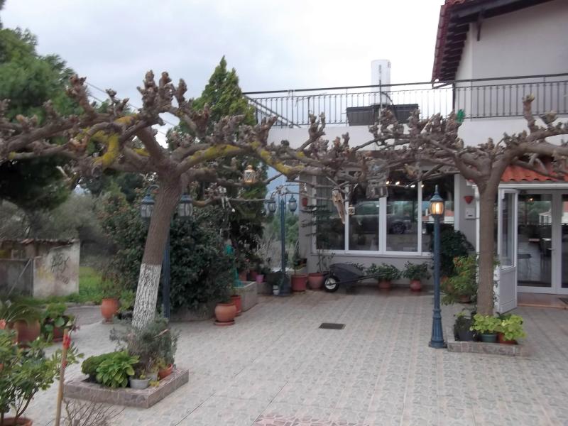
(Farmhouse) |
AH3 Run 1817 Hare: Mad Dog Photos: Captain Sumo |
Google elevation: 382 metres Trail length: 4.8 km |
|
The
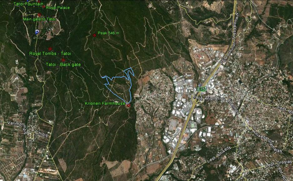
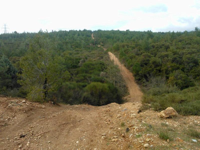
Trail |
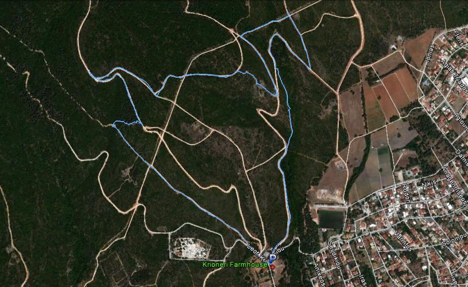
The trail progressed anti-clockwise from the starting point
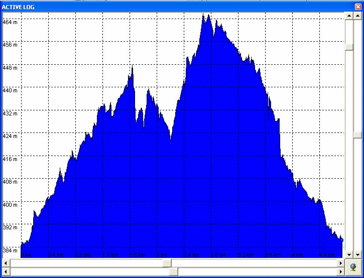
The altitude profile of the run from left to right.
|
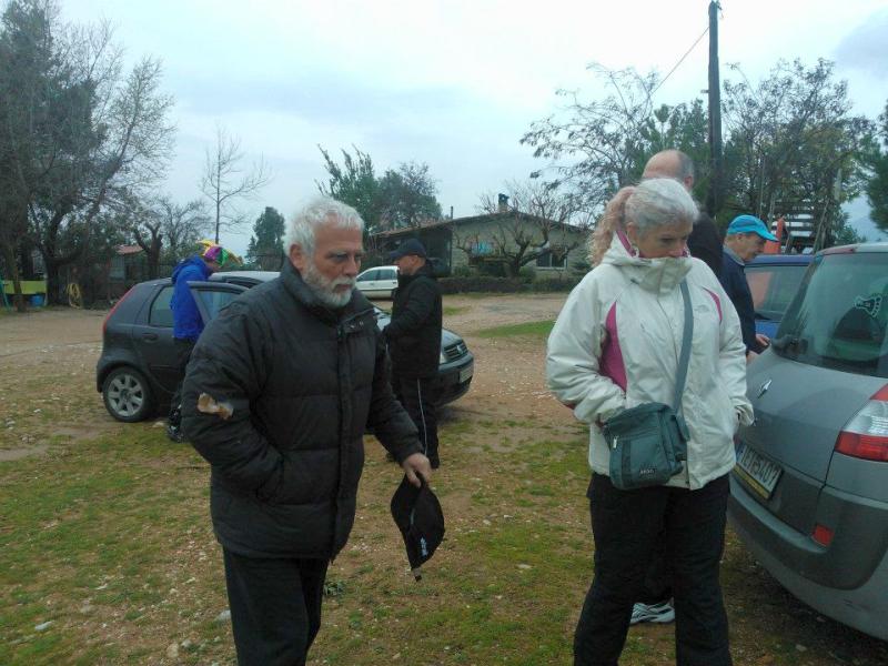
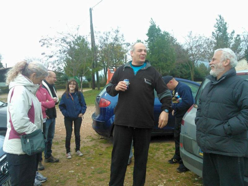
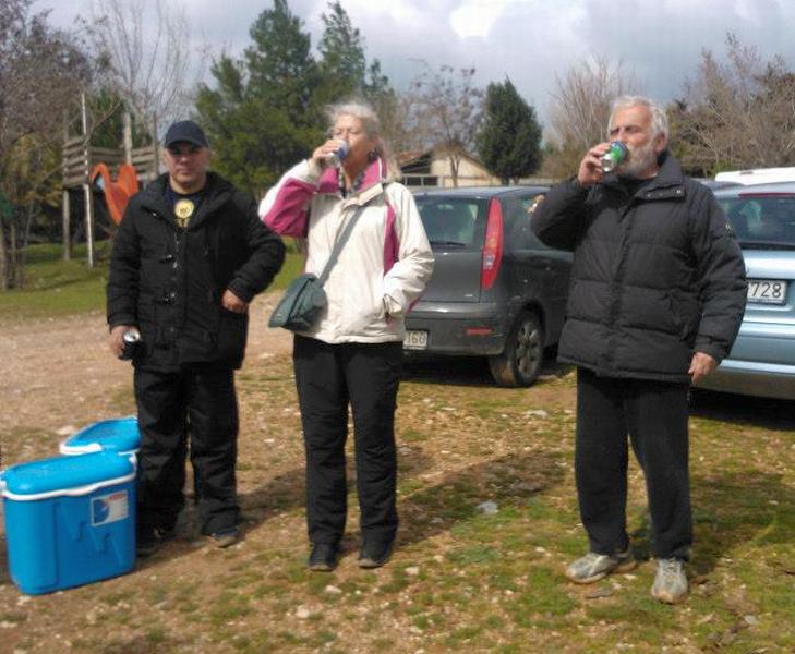
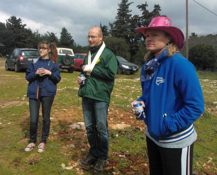
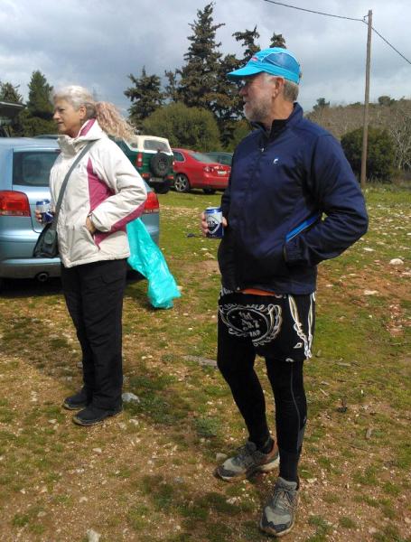
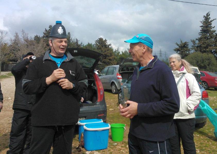
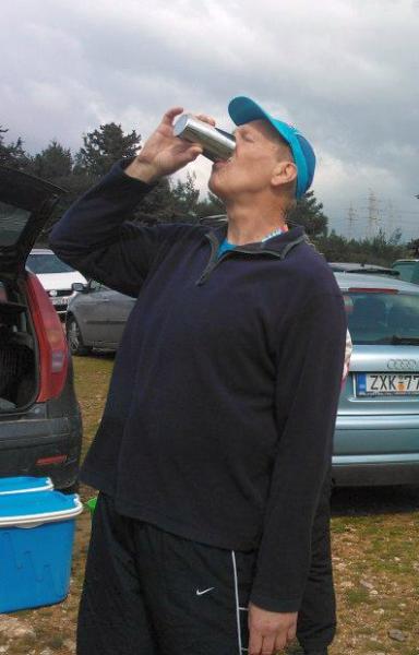
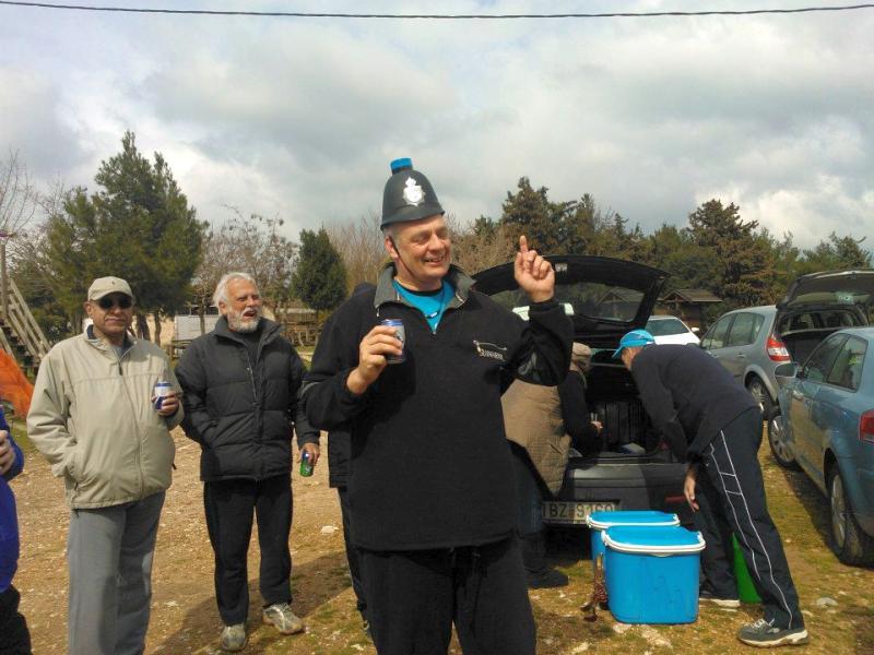
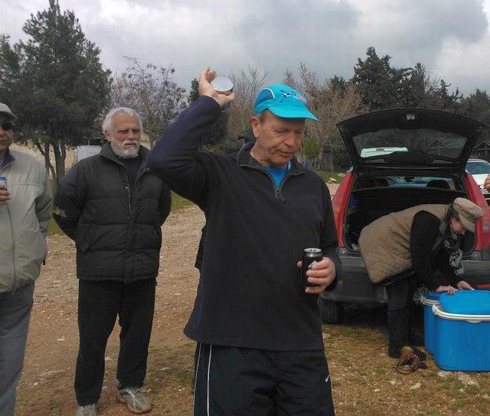
Before the run & walk |

|
The
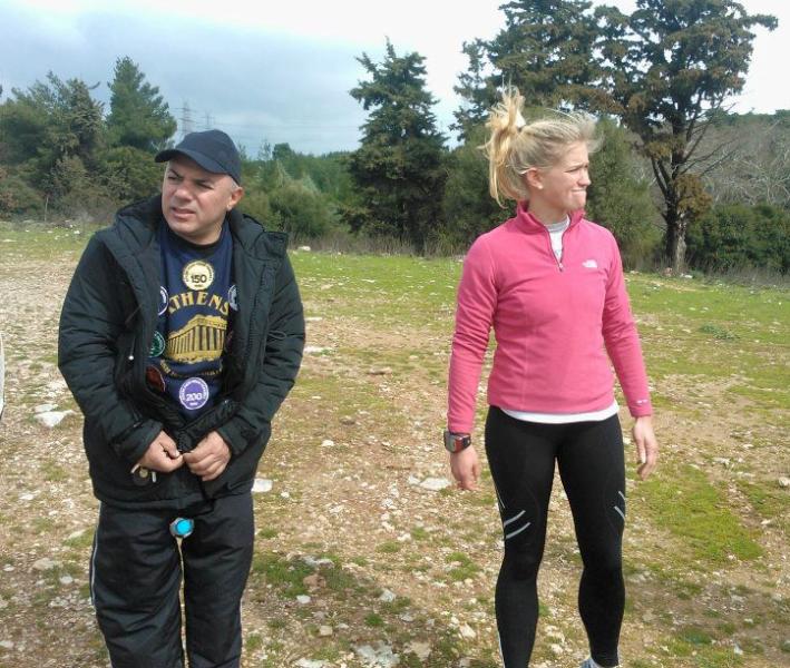
Run and Walk |
|
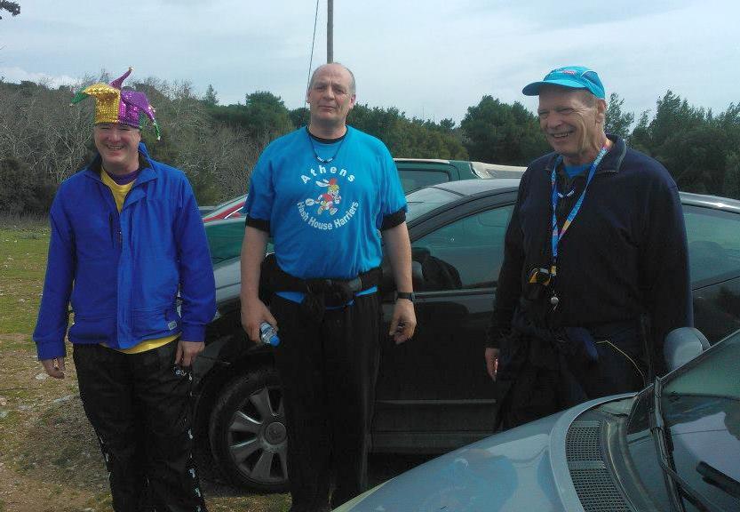
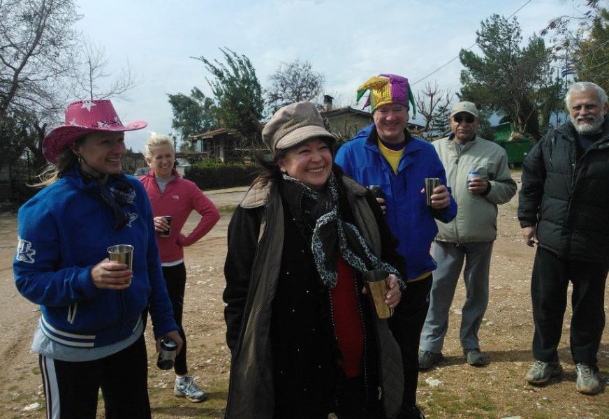
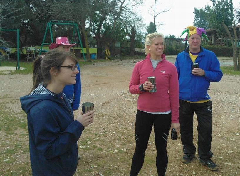
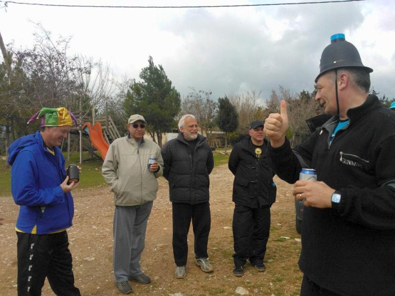
The
Circle |

|
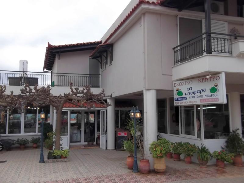
The
Taverna |
The taverna in the centre of Krioneri
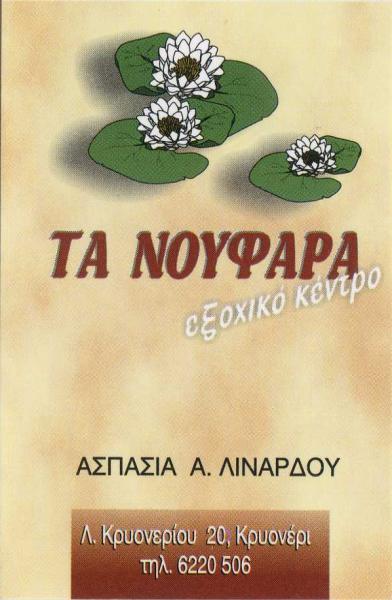
(Translates as: The Water Lillies - Country Restaurant)
14 Euros each (starters, chicken, pork, fries, beer and wine)
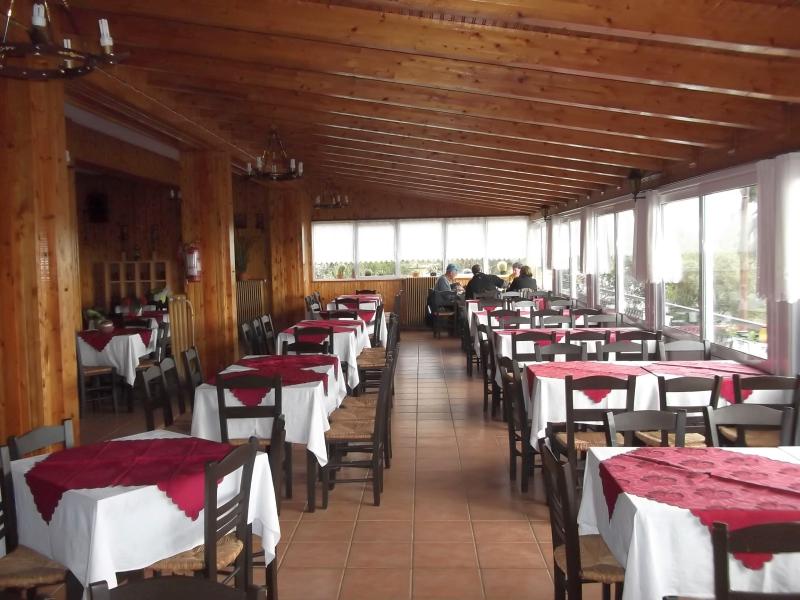
We were the only customers in this very nice taverna - on a Sunday! The effects of the recession in Greece?

The directions to the hash - for the record |
Carnival Season:
For this Sunday and the next 2 Sundays, wearing silly clothing items is encouraged.
On the final Sunday of carnival (and traditionally the most celebrated) there will be no hash as we will run the next day which is Clean Monday and a public holiday.
DIRECTIONS:
Get on the National Road (Ethniki Odos) as if going to Lamia
Continue North past the exits for Kifissia (traffic lights) and Varimbobi (flyover).
Turn off at the next exit North of Varimbobi
(This is signposted for Aghios Stefanos and Krioneri)
At the end of the exit slip road, turn LEFT over the bridge (signposted to Krioneri)
Zero your odometer here*
Follow this road for 1.5km or so and you come to Krioneri village
Follow the windy road THROUGH the village and out the other side
You go downhill for 50m and then up
You then come to a farmhouse on your right (2.3km)
We meet at an open space opposite this farmhouse
(this is on the back road from Krioneri to Tatoi and Varimbobi)
*The start point is 2.3km from the National Road exit
NOTE: The bridge under the National Road leading to Krioneri can also be reached by -
driving North on Kifissias avenue and (keeping on the same road all the way and ignoring road name changes) passing through Kifissia, Nea Erithrea, Ekali, Anoixi, Ag. Stefanos
GPS Coordinates are: 38° 8.278'N, 23° 49.236'E