|
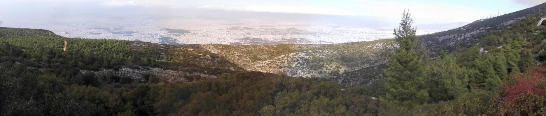
Mount Immitos Accessed from Kaisariani |
AH3 Run 1813 Hare: Rocket Socket Photos & web page: Mad Dog |
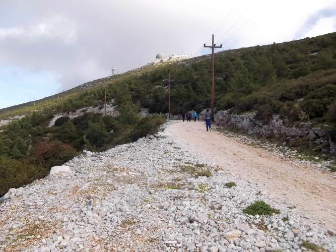
Google elevation: 858 m Trail length: 6.9 km |
|
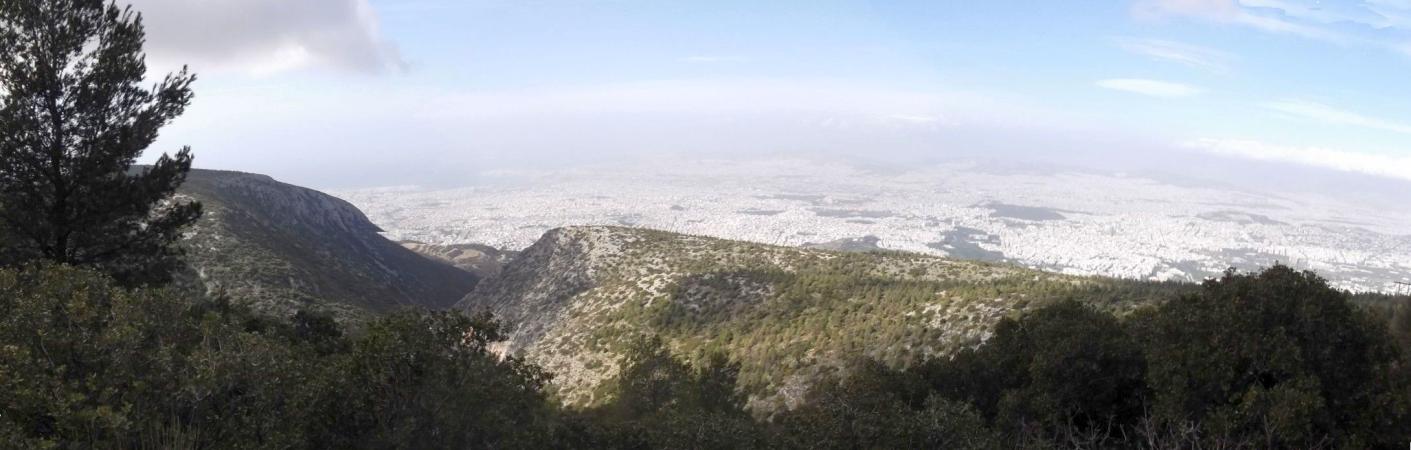
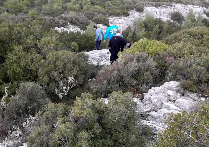
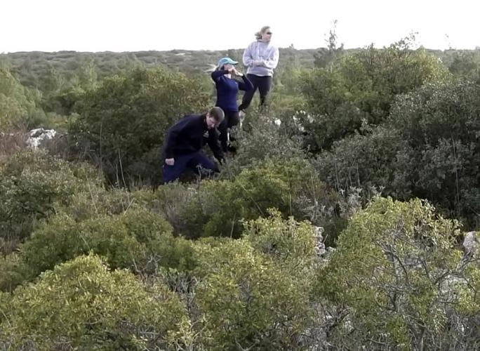
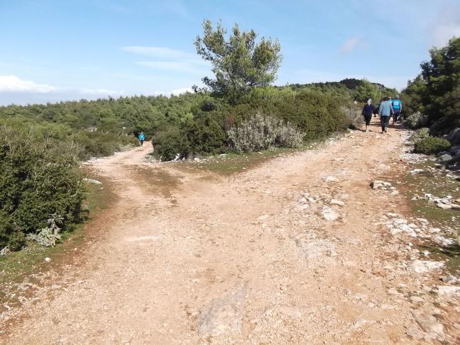
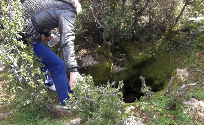
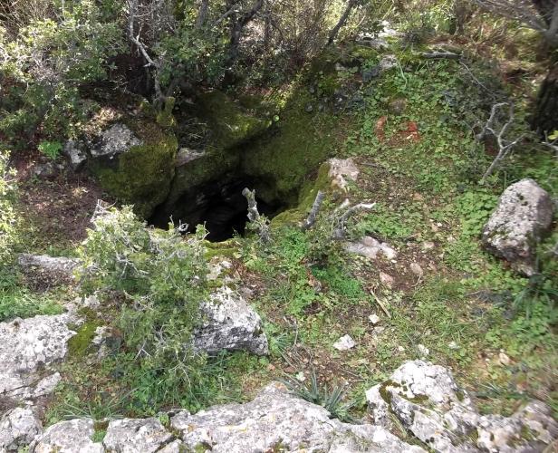
The
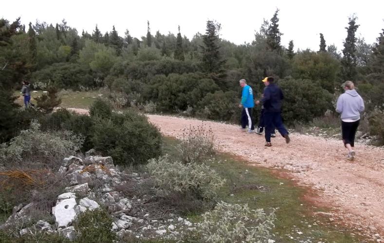
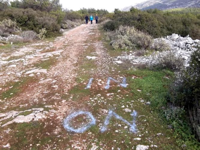
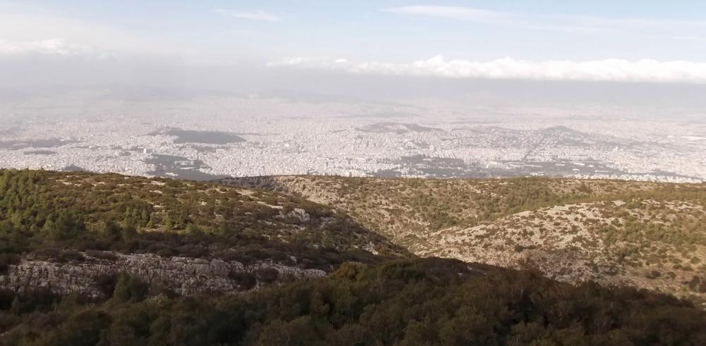
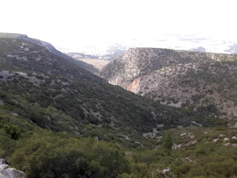
Trail |
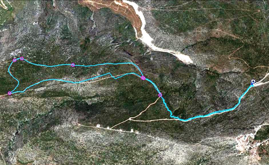
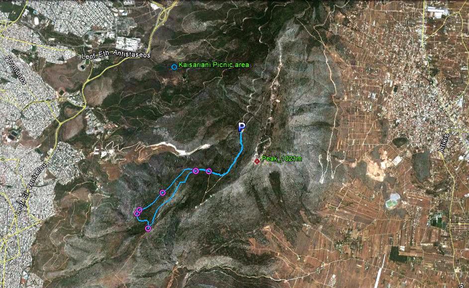
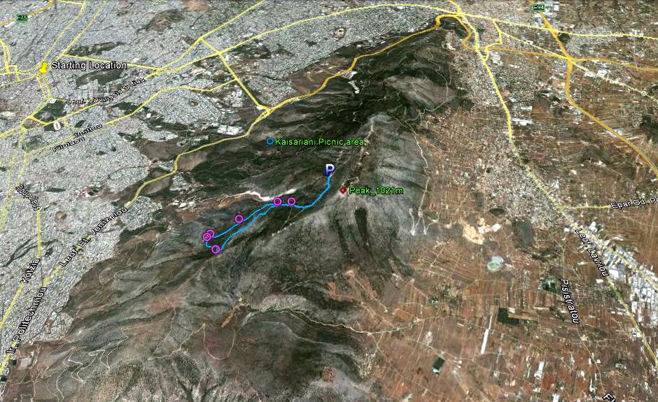
|
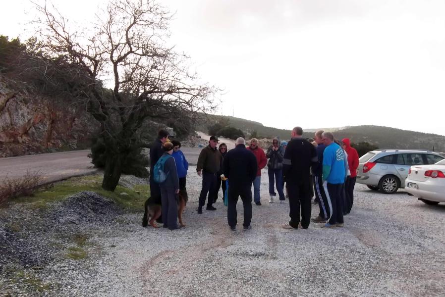
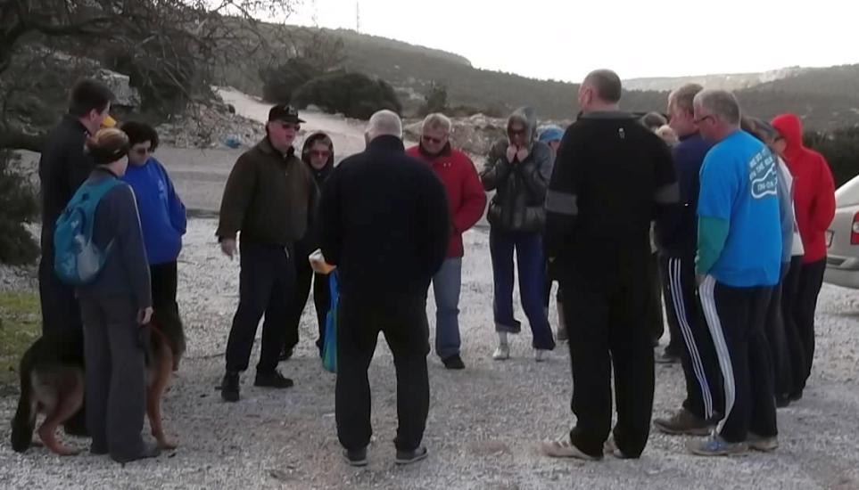
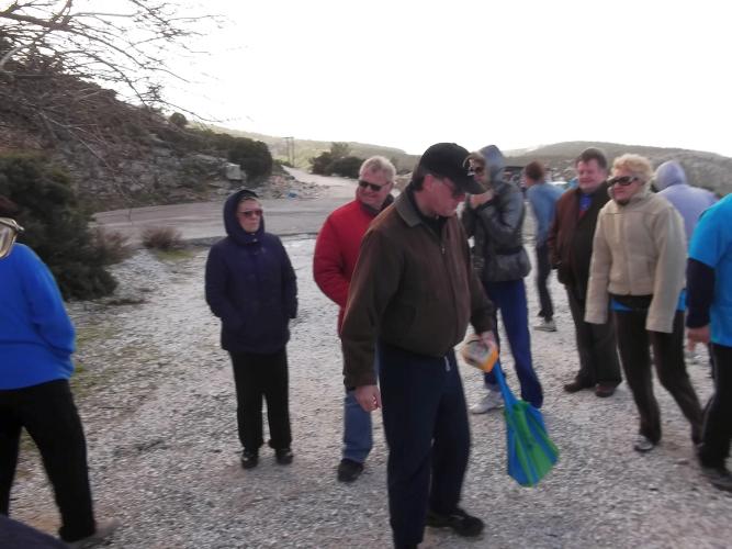
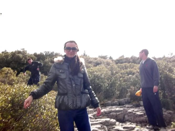
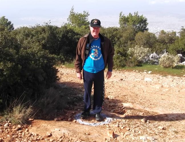
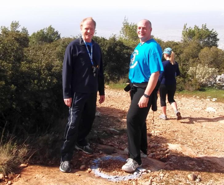
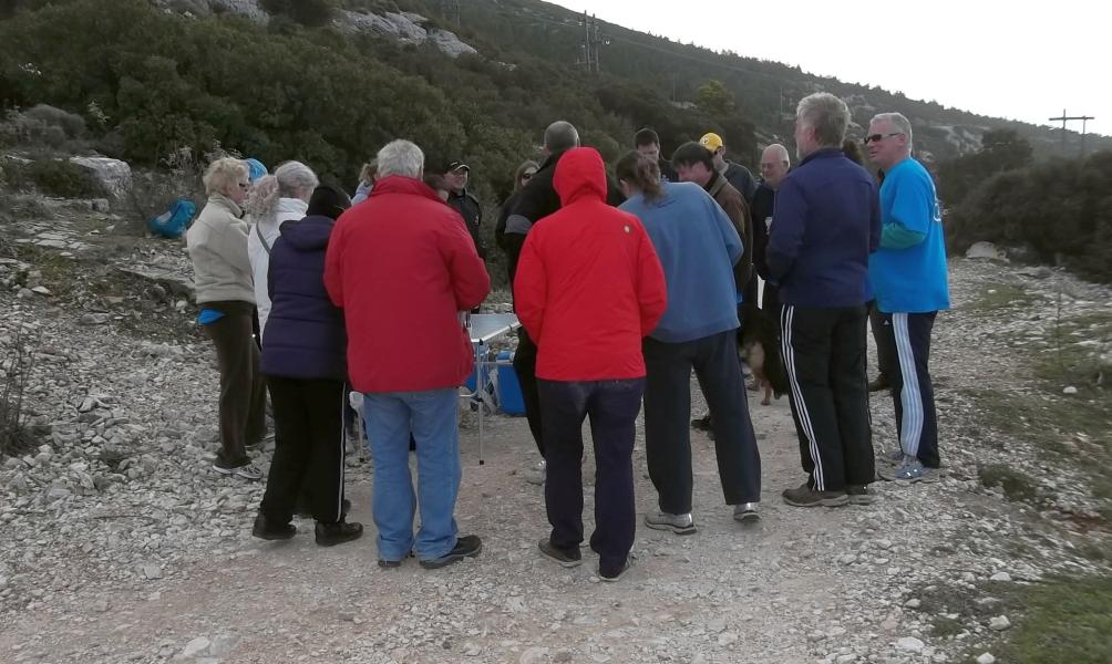
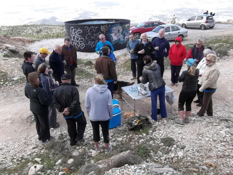
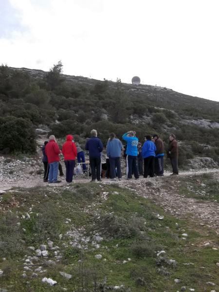
Before the run |
|
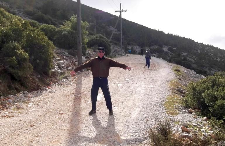
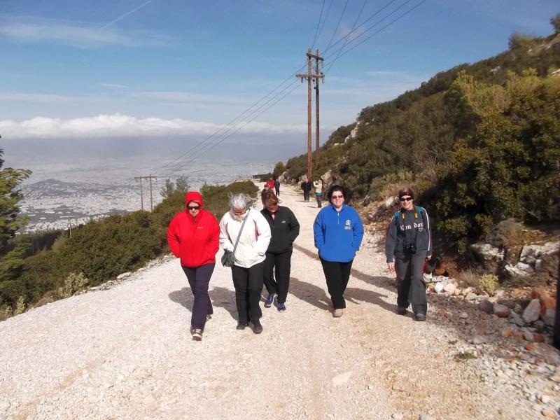
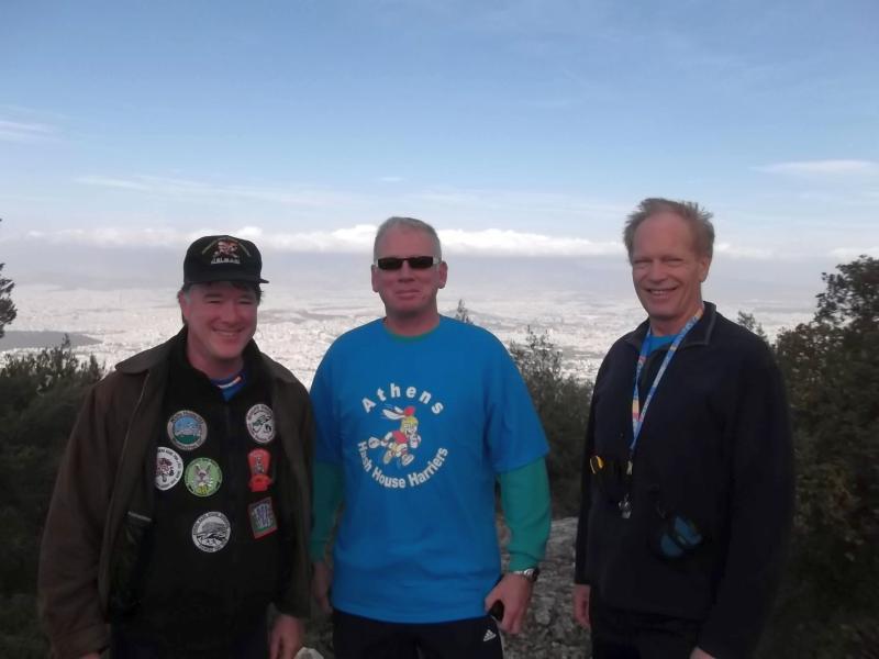
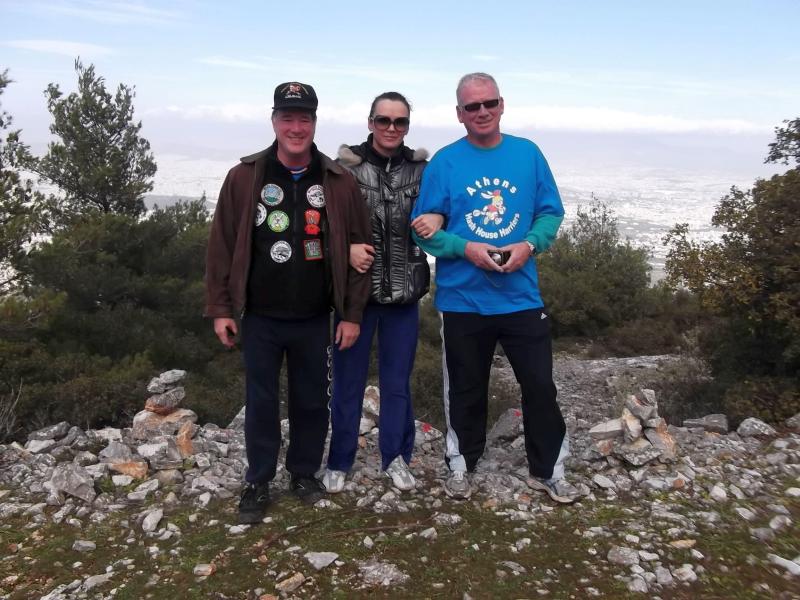
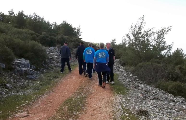
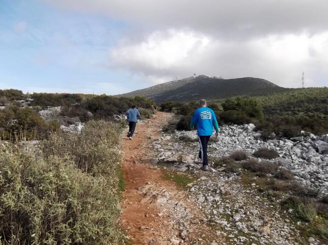
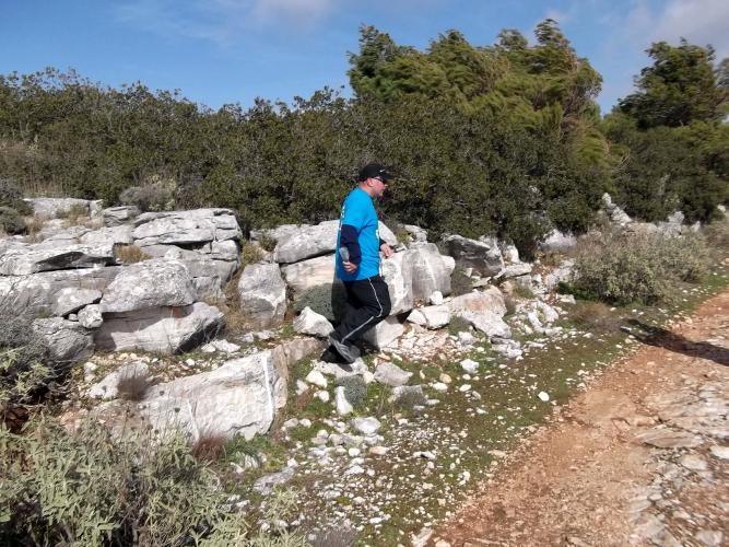
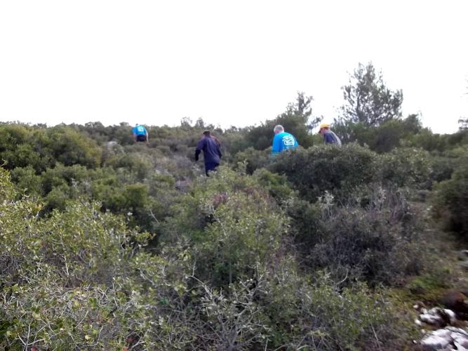
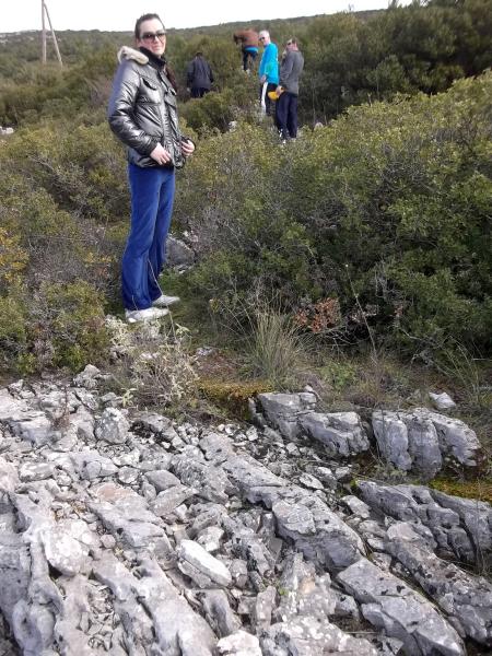
The
Run and Walk |
|
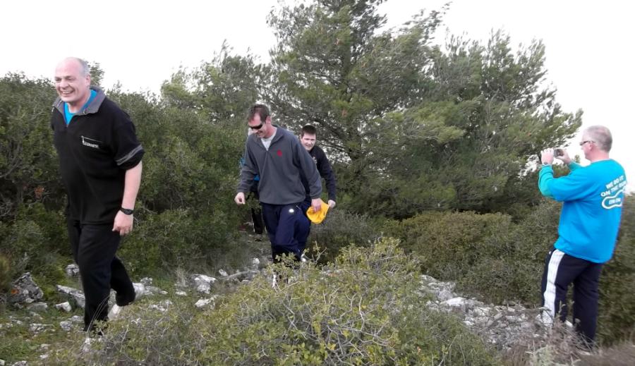
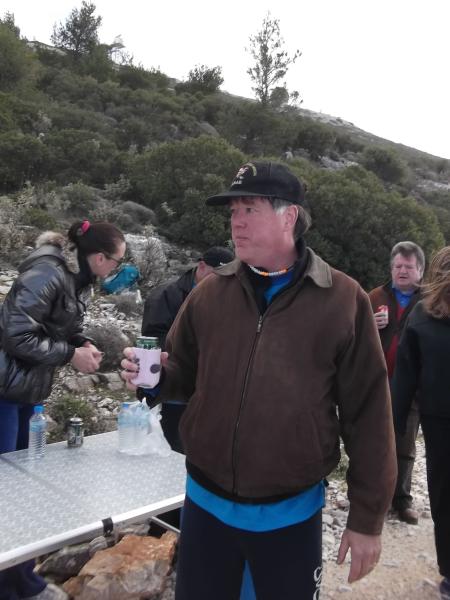
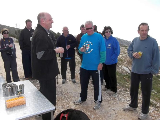
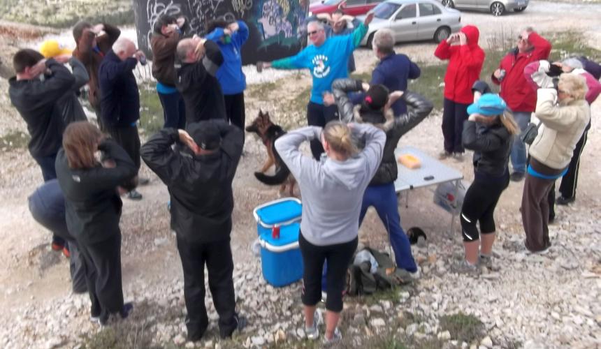
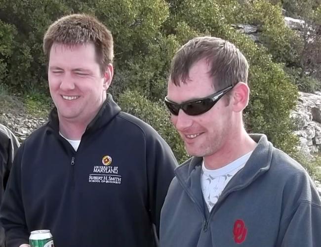
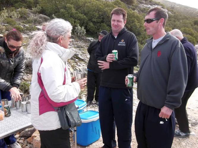
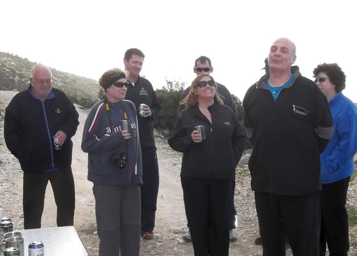
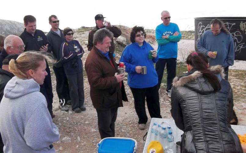
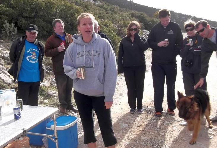
The
Circle |
|
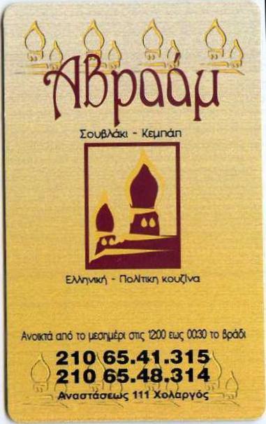
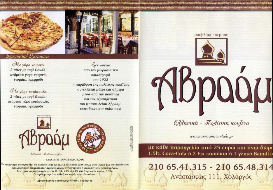
The
Taverna |


The directions to the hash - for the record |
DIRECTIONS to the start of the run:
One way to come to the area is to join the Imittos ring and take the Papagou exit to Anastaseos street, then turn left at the junction with Anastaseos St and continue up the mountain 3.3 km, pass 2 cemeteries, going past the Y junction from two weeks ago until you come to a "T" junction. Make a sharp left. Stay on the paved road for 6.8 km and park in one of two parking areas at the last hairpin turn before the top.
Alternately, you continue south west on the Imittos ring and turn off at the Kessariani Monastery. Go up the hill (past the monastery) for 10.3 km, following the paved road until you get to the last hairpin turn before the top.
GPS: 37°57'3.00"N, 23°48'40.00"E