|
Varibobi North-Western Athens |
AH3 Run 1810 Hare: Mountain Goat Photos & web page: Mad Dog |
Start location GPS: Google elevation: 430 metres Trail length: 6.4 km |
|
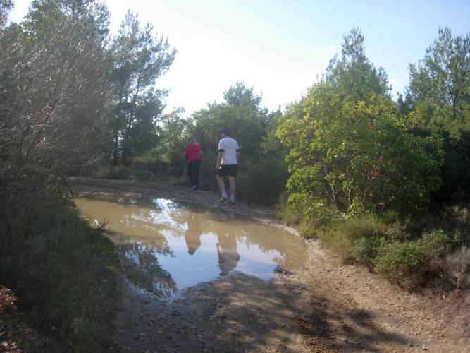
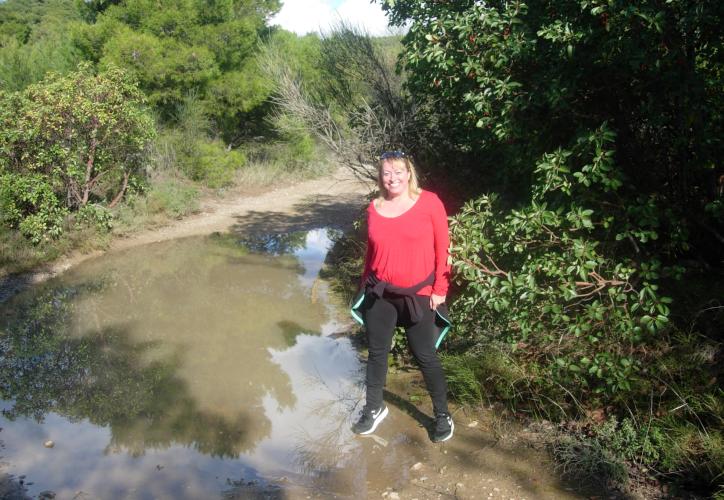
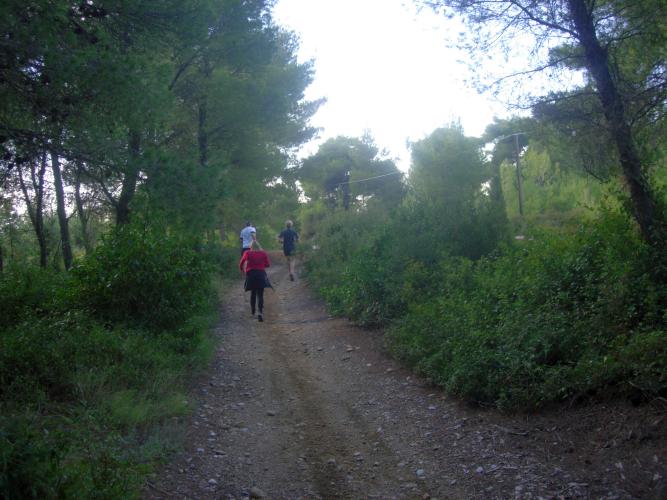
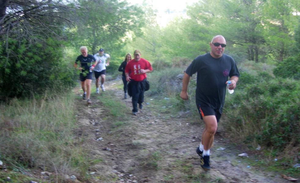
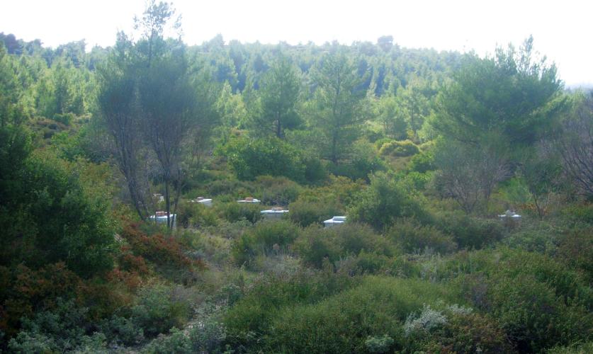
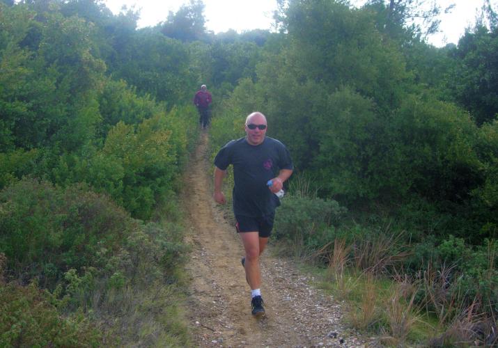
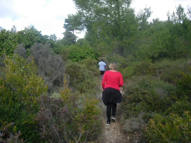
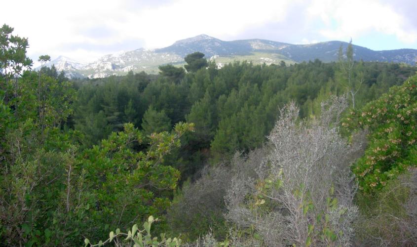
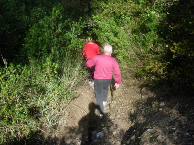
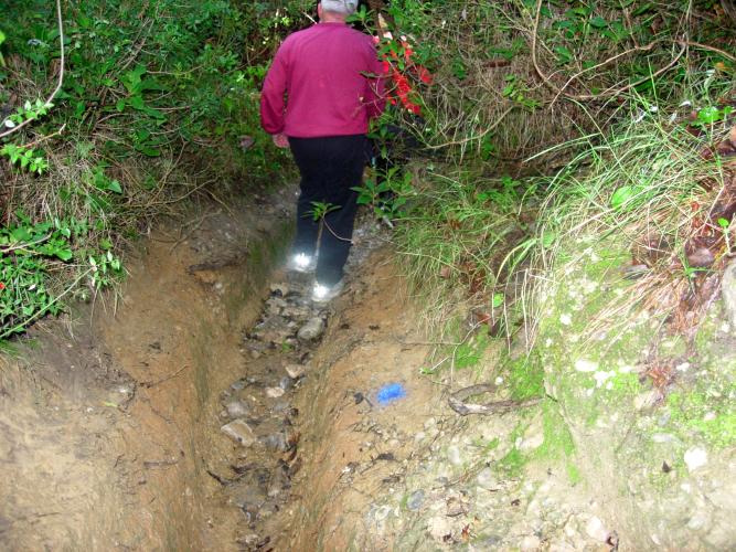
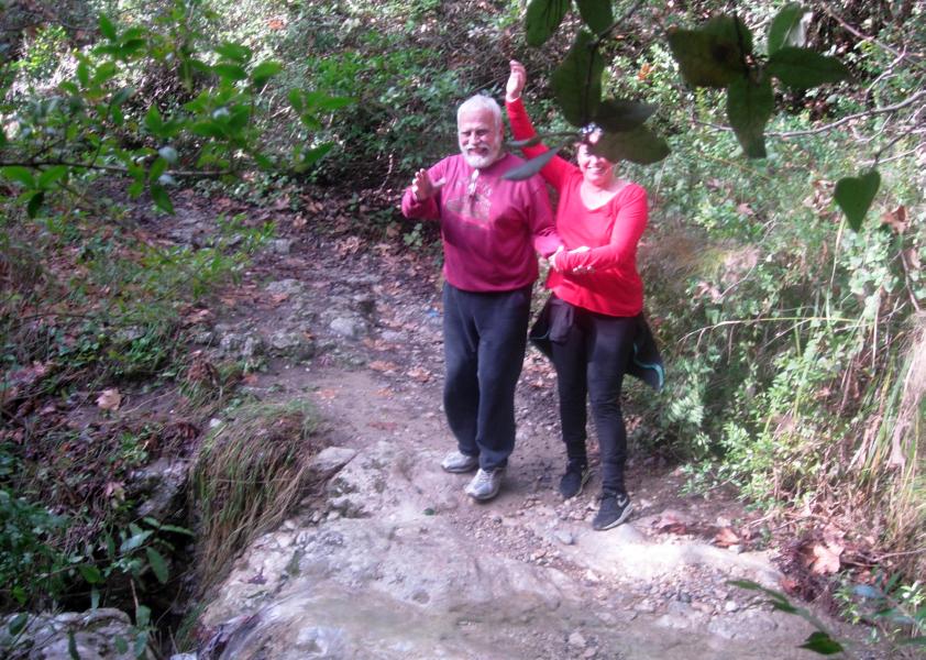
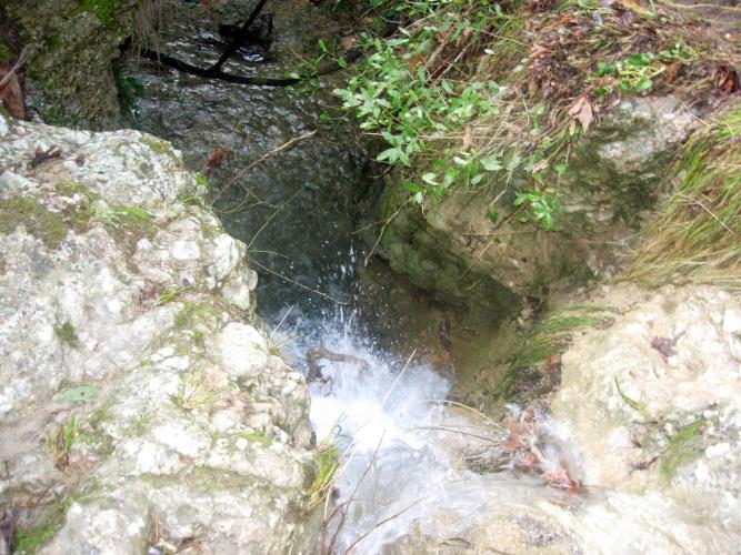
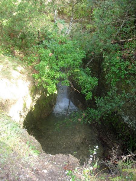
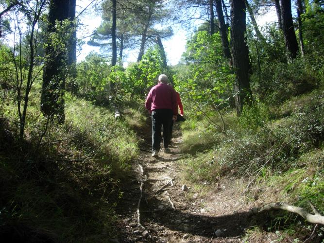
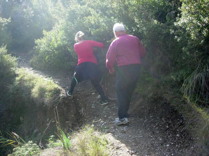
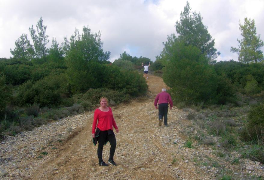
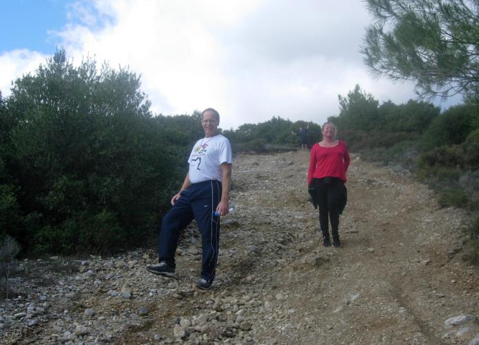
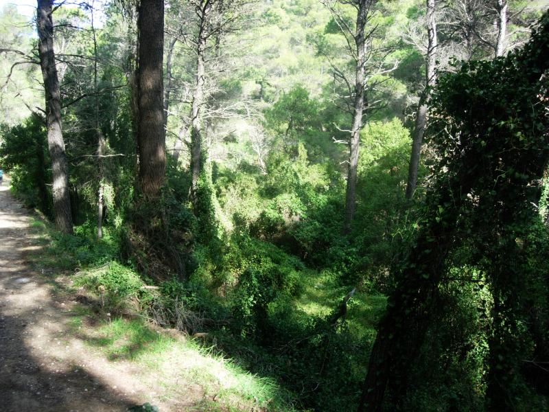
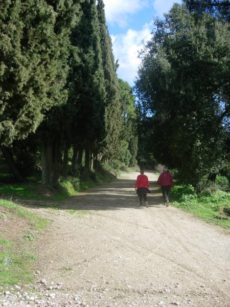
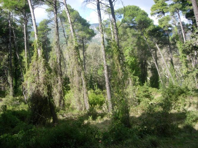
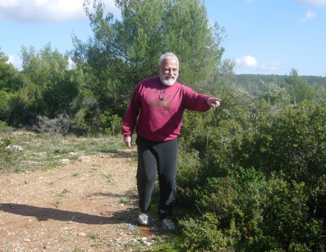
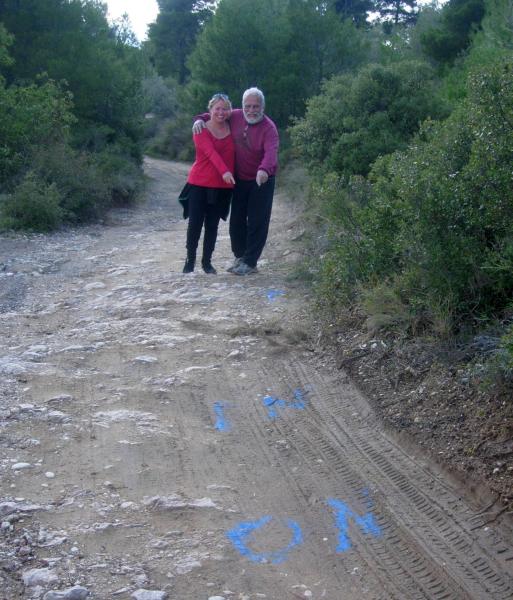
The
Trail |
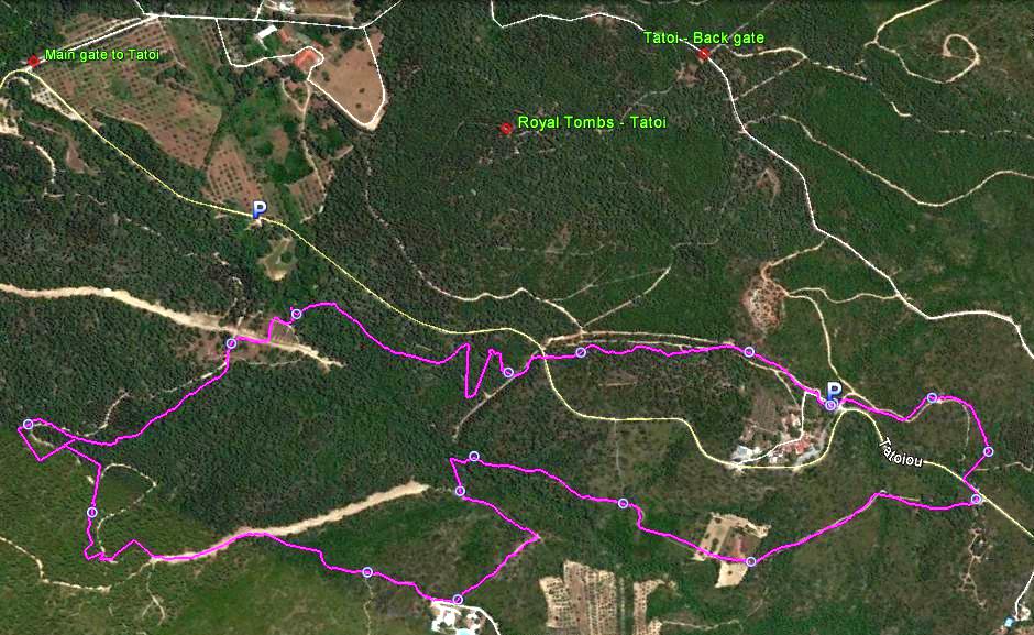
The trail from 2.5 km up
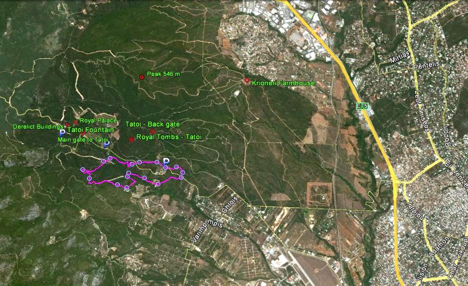
The trail from 9.5 km up
|
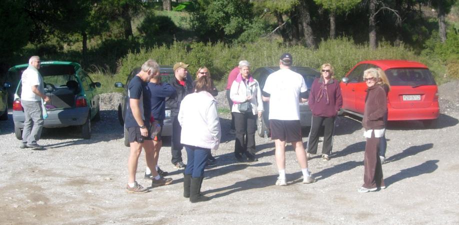
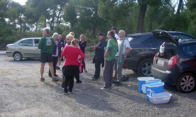
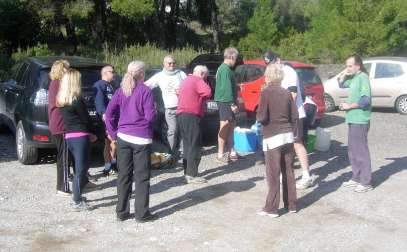
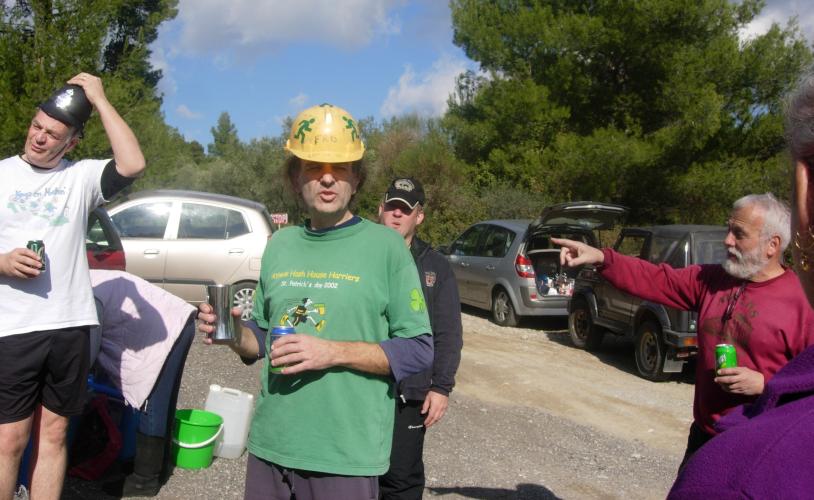
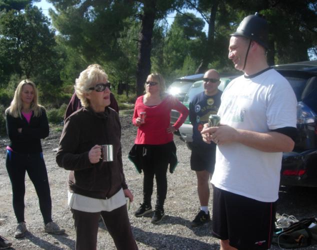
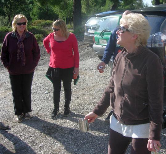
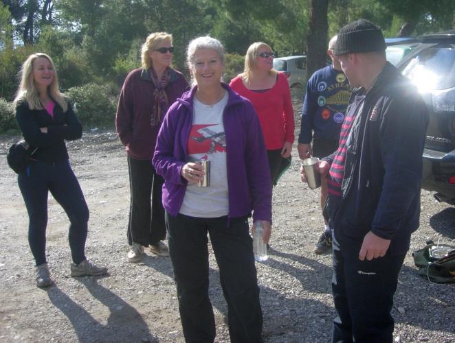
The
Pre-run Circle |

|
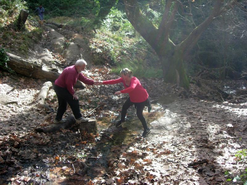
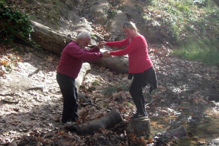
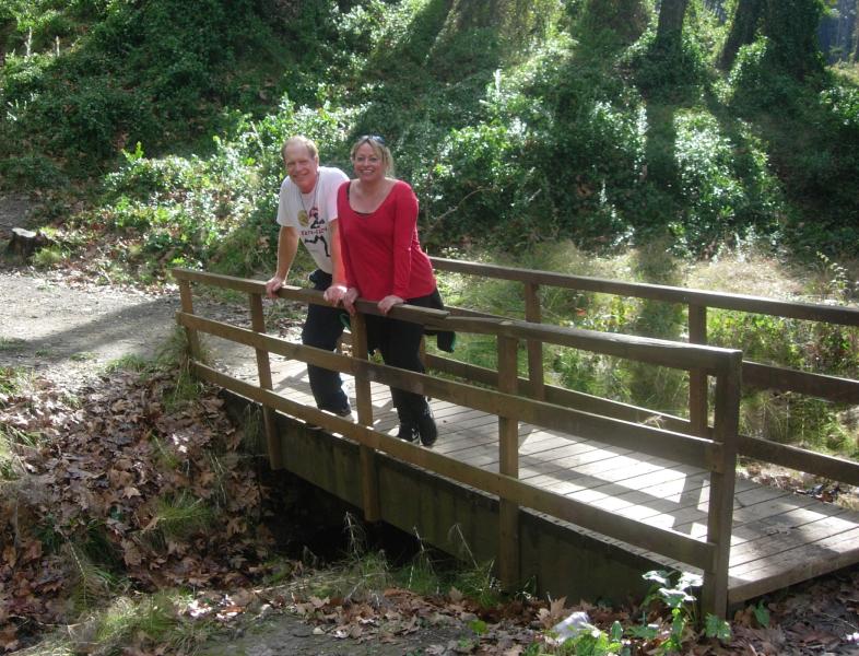
The
Run |
|
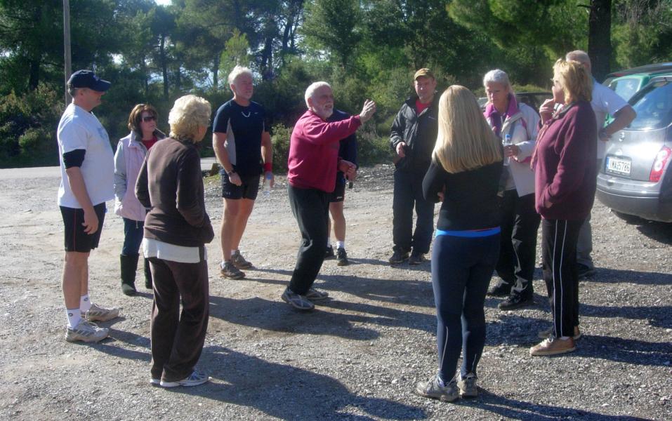
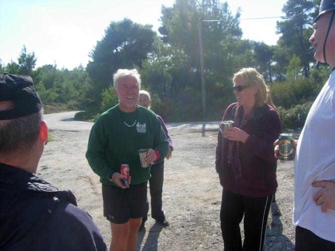
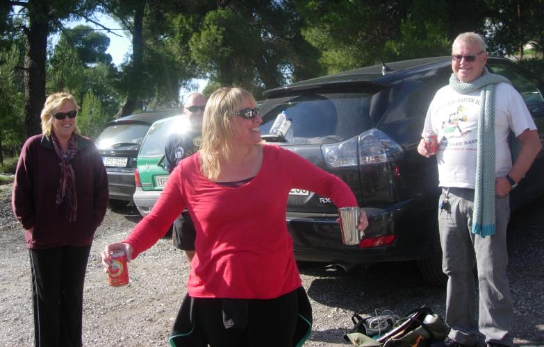
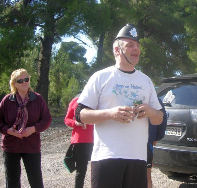
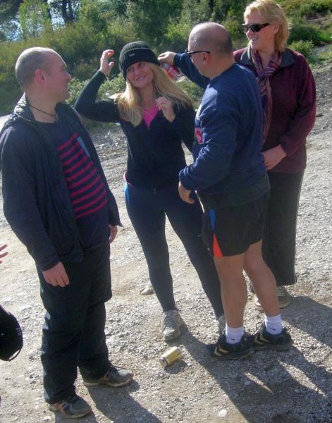
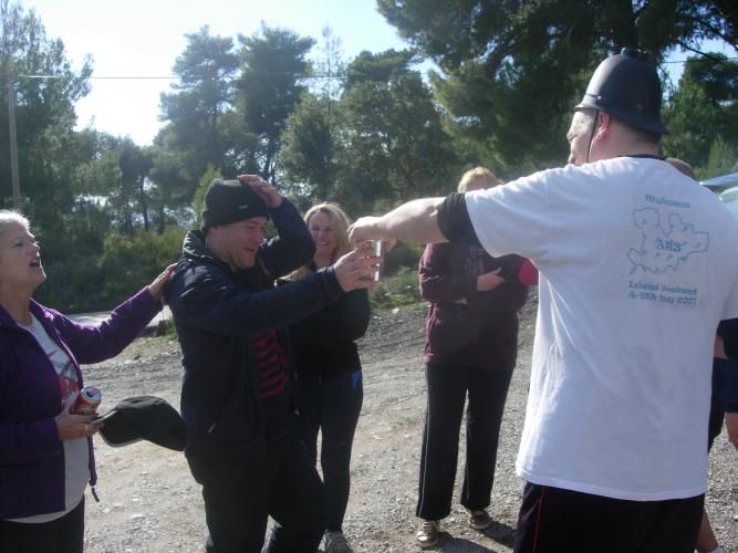
The
Circle |
|
The
Taverna |
Lambros ?
The directions to the hash - for the record |
Coming via Attiki Odos and/or National Road:
Take the Attiki Odos to the National Road & head North towards Lamia.
Keep going to the Varibobi exit on the National Road (This is the first junction North of the Kifisia exit).
Exit here and turn left to cross the National Road on the flyover.
You immediately pass a BIANEX factory on your right.
For 1 or 2 km the road is very windy.
Then it straightens out for 5 km or so.
At the end of this long straight stretch the road bears to the right (another road joins it here from the left - this is the road coming from the TATOI Airport)
Bear right and after 600 metres or so there is a turning to the left for LEONIDAS Taverna. This is the second or third main turning to the left, just after the ARIS Taverna.
Several Tavernas are signposted at this turning, including Leonidas and Panorama.
You will see the small parking area on the right [on a bend] about 1k after Leonidas taverna - just before the Tavernas ‘Panorama’ & ‘Aghios Mercurios’.