|
Papagou Anastassios Street Parking |
AH3 Run 1784 Hares: Rocket Socket & OTIS (for the walkers) Photos & web page: Mad Dog |
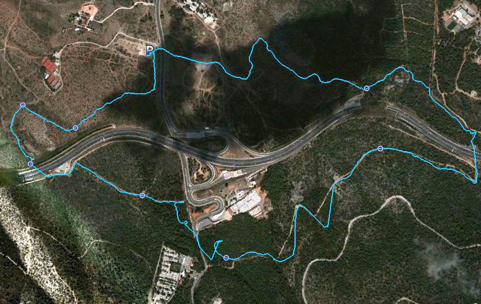
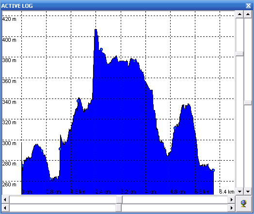
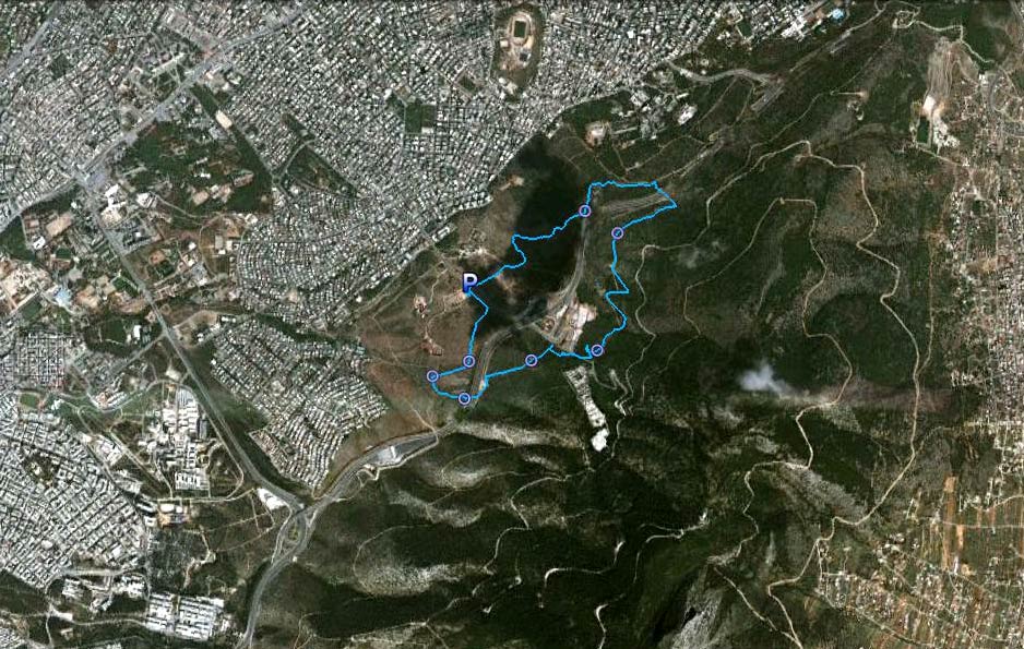
GPS Co-ords: Google Earth altitude: 275 m Trail length: 6.4 km |
|
The
Trail
|
|
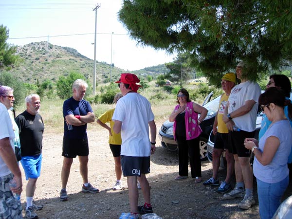
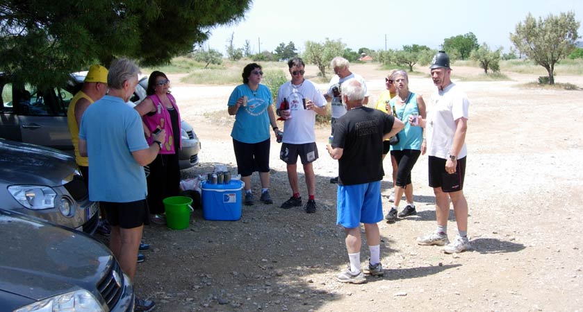
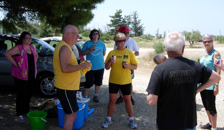
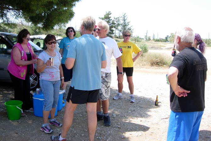
The
Pre-run Circle
|
The Hare - Rocket Socket
|
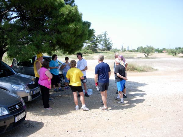
The
Run and Walk
|
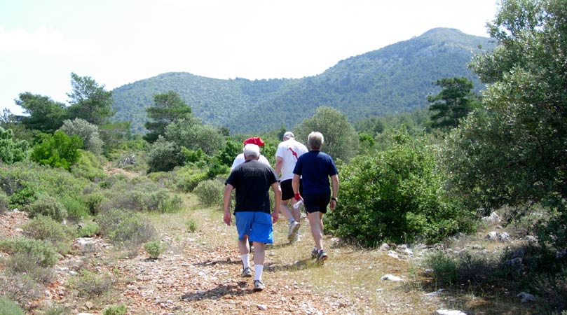
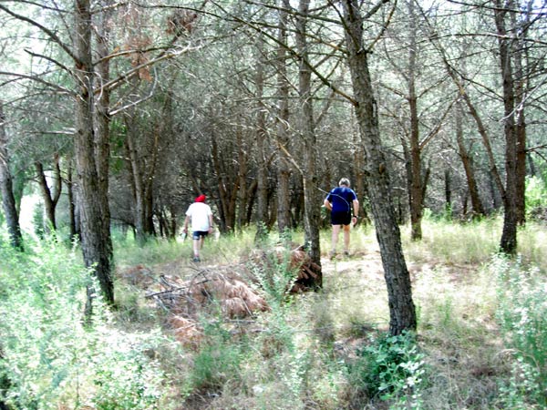
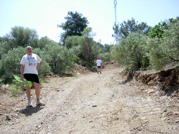
The walkers
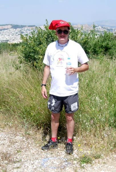
The here stands on his first check
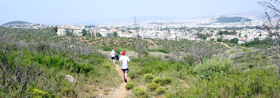
Panoramic view as the runners set off
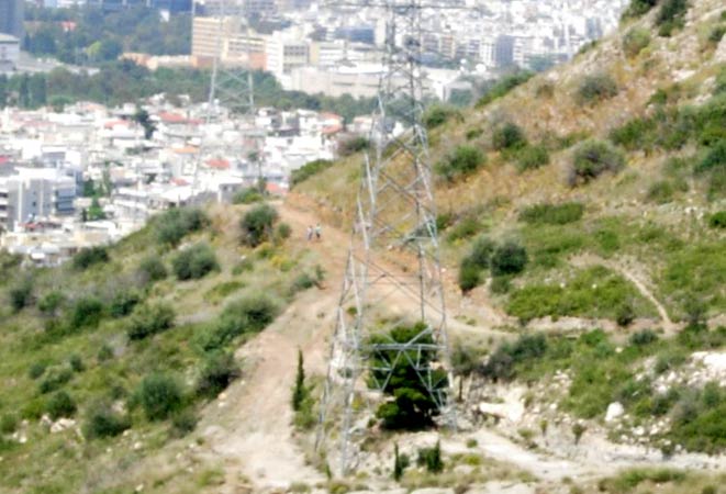
Heading for the hills
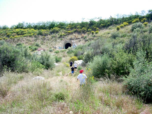
Heading for the tunnel under the Immitos Ring motorway
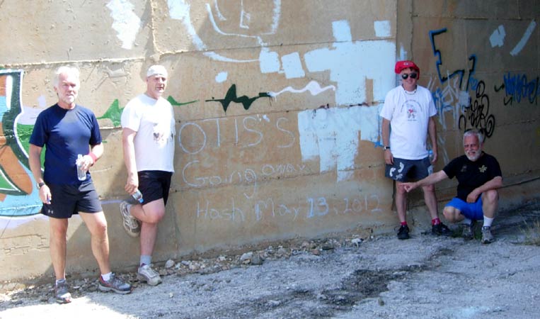
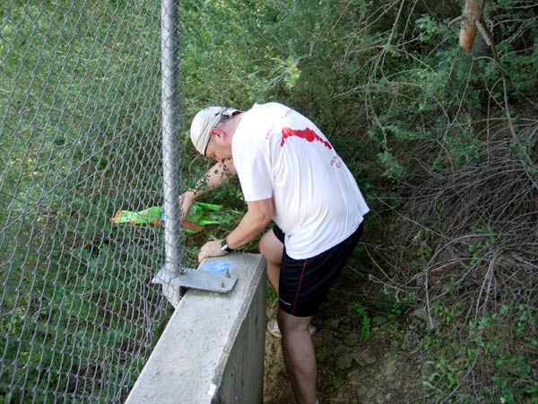
OTIS's Going away hash is celebrated on the concrete wall of the tunnel
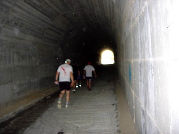
On through the tunnel
Running along a drainage channel
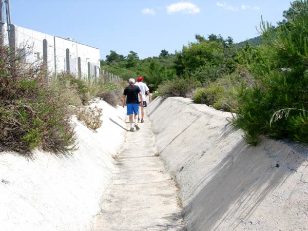
Lucky it's not raining
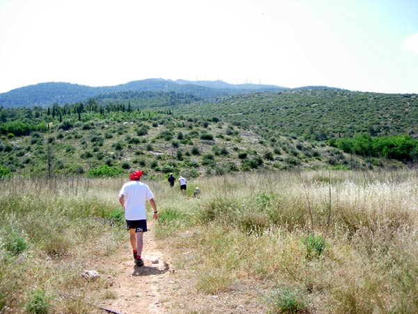
On Up!
Some shiggy
Fair Cop squeezes through a small hole in the fence.
Rocket Socket said it looked straight forward on the Google Earth satellite image
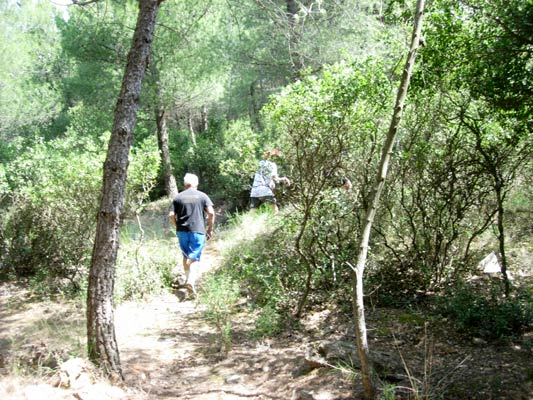
Into some pine forest
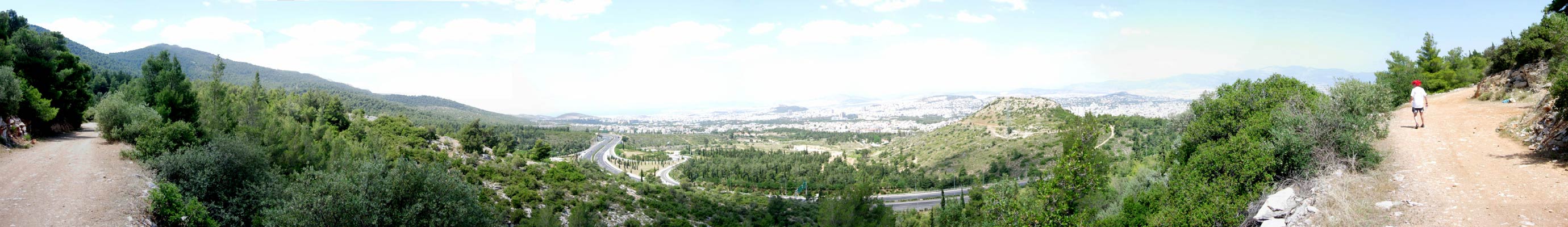
Panoramic view >>>>>>>>>>> Scroll right >>>>>>>>>>
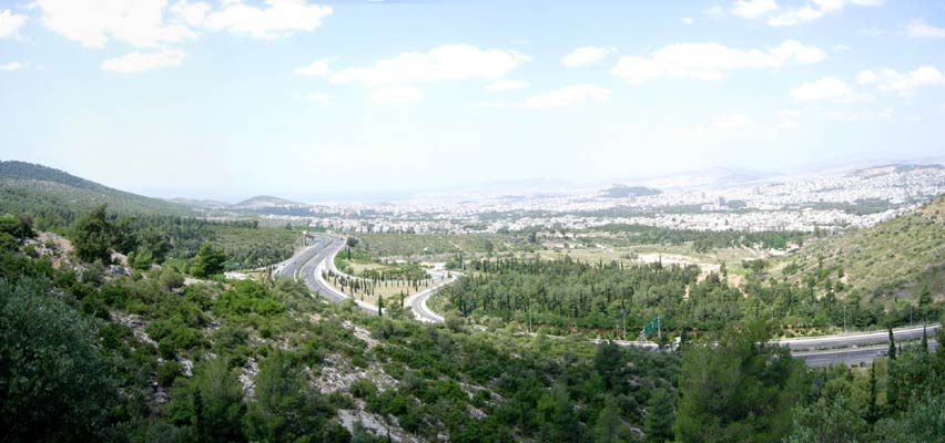
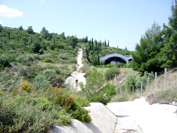
View of the motorway
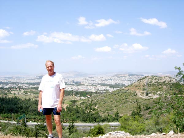
Mad Dog
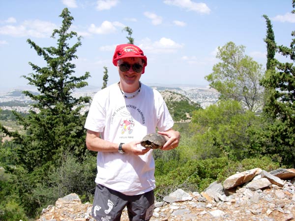
Rocket Socket poses with a tortoise found on the trail
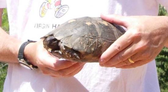
Hello tortoise!
The walkers in the distance
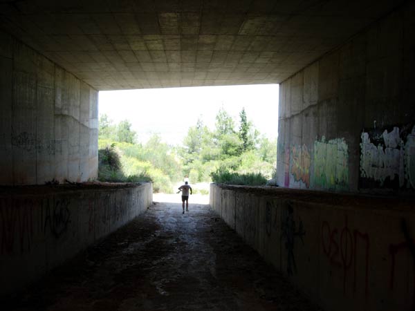
Back under the motorway
On Up! Fair Cop stops for a breather (is he going kite-flying?)

View of the Mount Immitos Ring Road motorway

Heading on back to the start.
The hashers cars can be seen in the distance
|
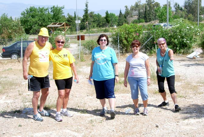
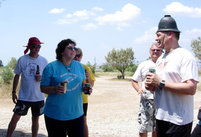
The
Circle
|

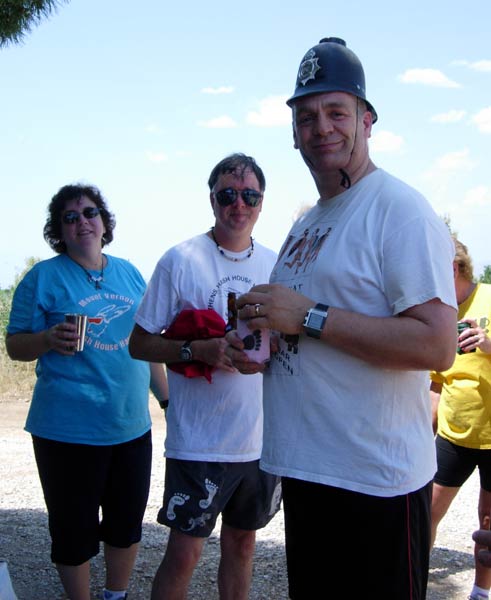
The hares down-down
The hares Rocket Socket and OTIS
Hamish McTavish with Pam
Doggie Style with Kum Kwik and Thrice
OTIS is leaving us...

All the best, OTIS!
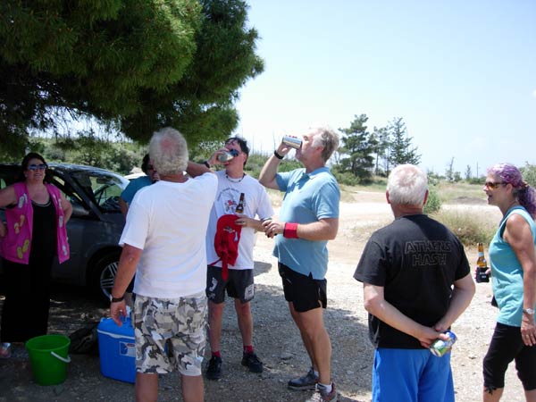
Kum Kwik, Thrice Nightly & Rocket Socket get down-downs
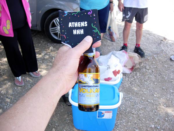
A beer with a charitable side - to help the Greek debt
(Available in AB Vasilopoulos supermarkets)
|
The
Taverna
|
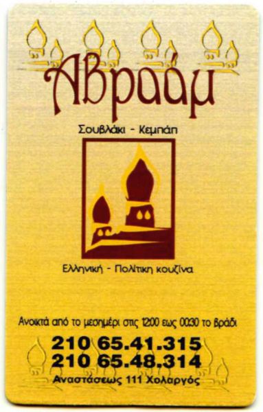
Avraam Taverna in nearby Holargos.
Good, unusual food and very reasonable price