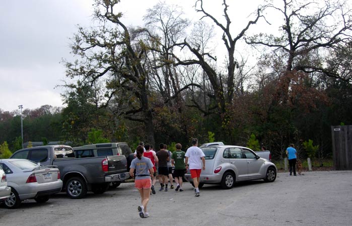
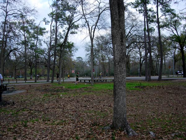
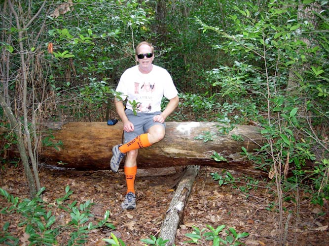
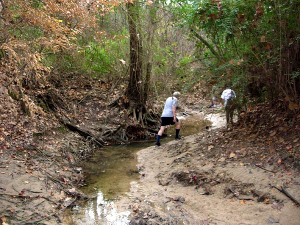
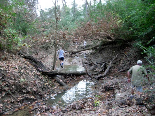
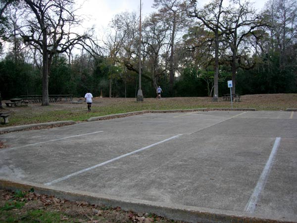
Memorial Park
Central Houston, Texas
(Athens Hashers away from home and running with the Houston Hash House Harriers)
Hared by the Galveston Hash
NEW YEAR'S EVE HASH
Saturday 31st December 2011
Photographer: Mad Dog
- T
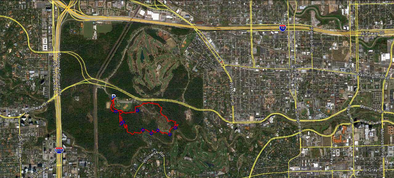
H E T R A I L -
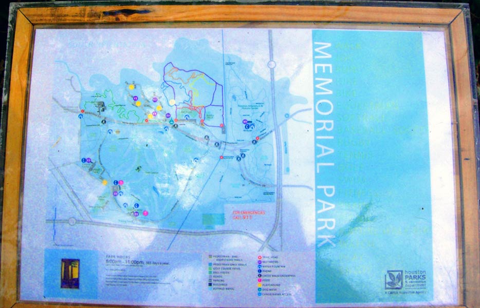
The lat/lon coordinates of the:
Starting point & end point: 29°45'54.48"N, 95°26'41.83"W
Altitude: 19 metres above sea level
Trail
cartographic Length = 5.6 km
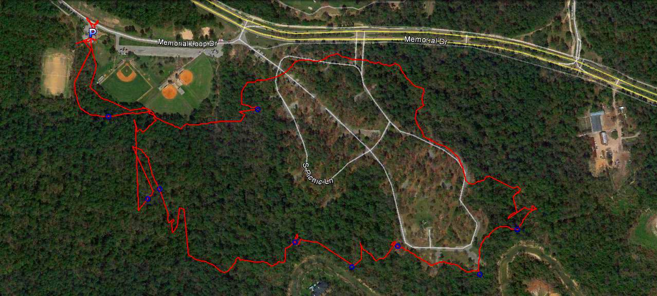
"P" marks the start of the trail.

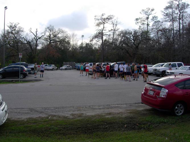
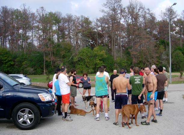
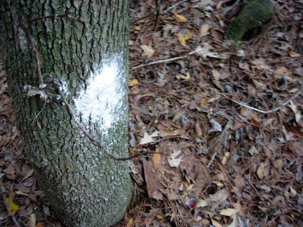
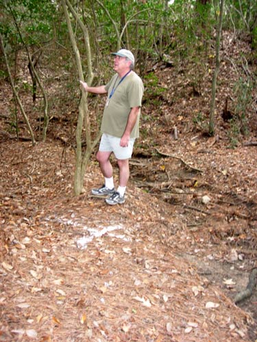
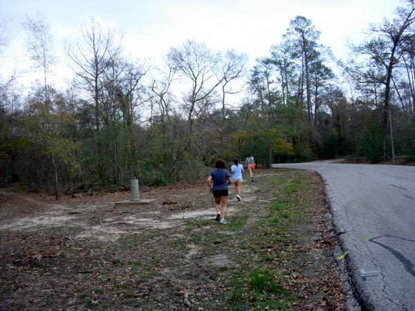
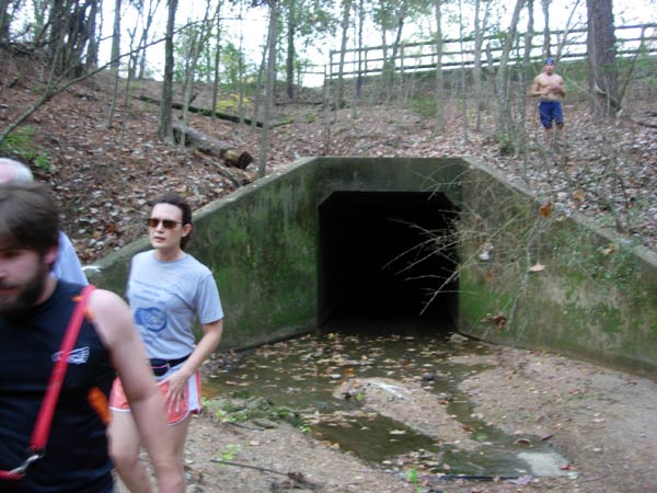
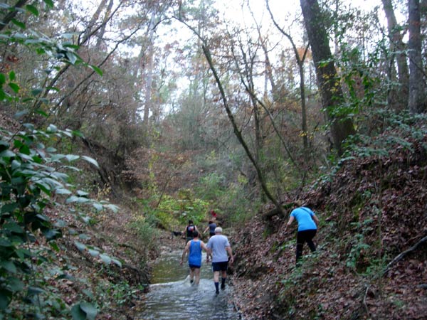
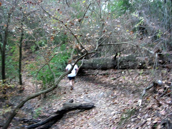
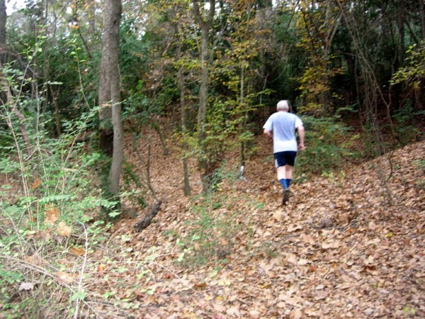
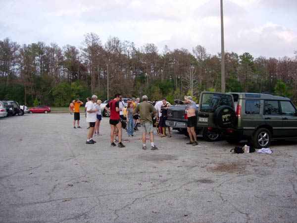
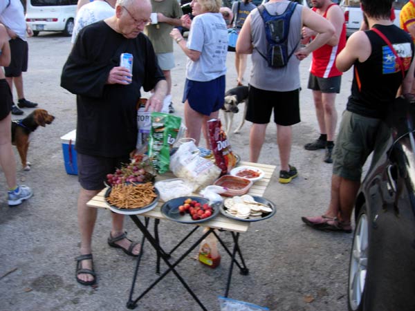
THE RUN


|
NOTES
To save a photo to your disk drive:
- Internet Explorer - Netscape Navigator - Opera
-
(1) Right-click your mouse on the photo
(2) A menu appears
(3) Click on "Save Picture As" (or
"Save Image")
(4) Pull-down the "Save In" menu (click the down-arrow)
(5) Double-click on a disk drive letter (to choose a drive)
(6) Double click on a directory icon (if applicable)
(7) Type in a File name of your choice for the picture
(8) Click Save
To
send the photo by e-mail as an attachment:
- Outlook Express -
(1)
Click the "Create Mail" button to start a new e-mail
(2) Click Insert > File Attachment
(3) Pull-down the "Look In" menu (click the down arrow)
(4) Double-click on a disk drive letter (to choose the drive)
(5) Double click on a directory icon (if applicable)
(6) Click on the photo file name to highlight it
(7) Click "Attach" to attach the photo to the e-mail
MD
Feb. 2006 |
Return
to Top
Please
use your "Back" Button (Top Left) to return to the previous page