Yet Another Exotic - Combined Island Hash
The Aegina Pissed-Hash-Yo (Pistachio) Hash
&
The Athens Hash House Harriers
Athens Hash Run
1757 (Sunday 16th October 2011)
Hare: Strawberry4Skin
Photographer: Mad Dog
NOTE:
Use the horizontal scroll bar (bottom of screen) to view the panoramic photos.
- T
H E T R A I L -
The starting point (The Port): 37°44'46.44"N, 23°25'35.32"E Altitude: 1.5 metres
The circle (S4S Pad): 37°45'22.69"N, 23°25'35.43"E Altitude: 18 metres
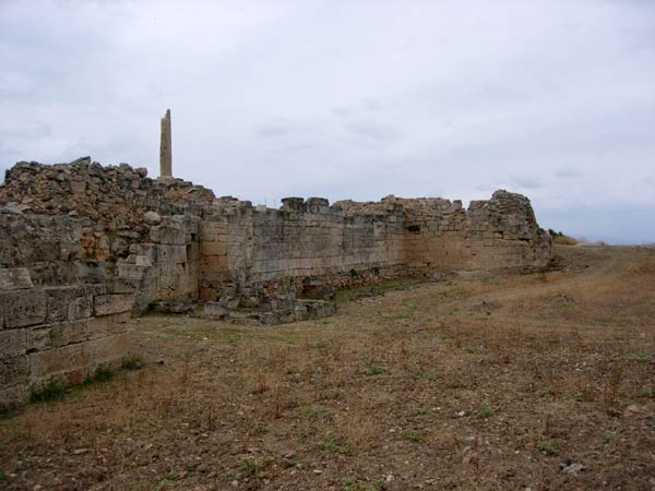
Trail
cartographic Length = 6.0 km
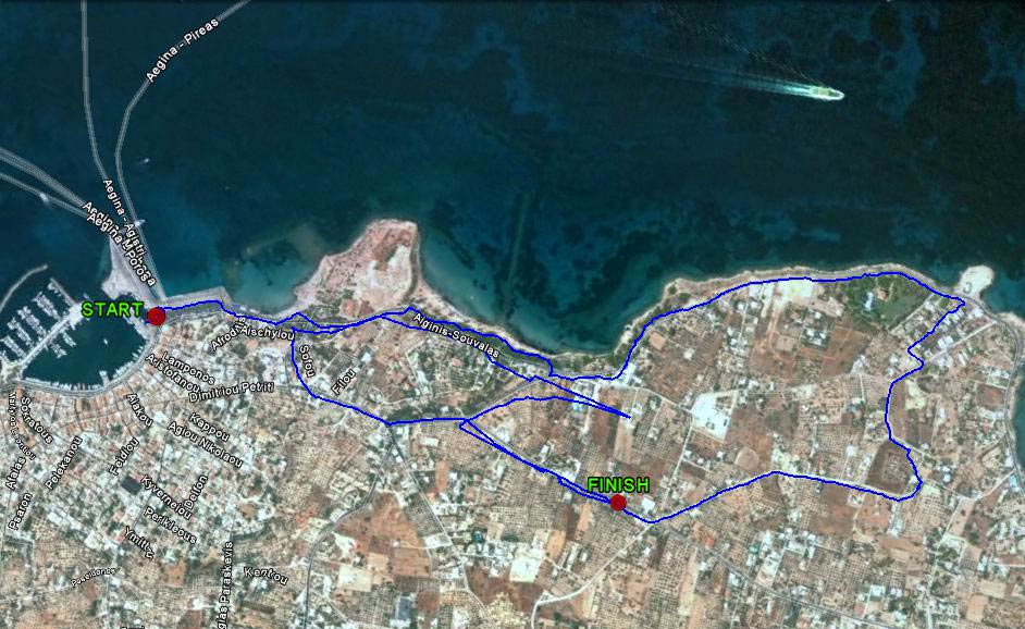
The trail from 2.2 km up
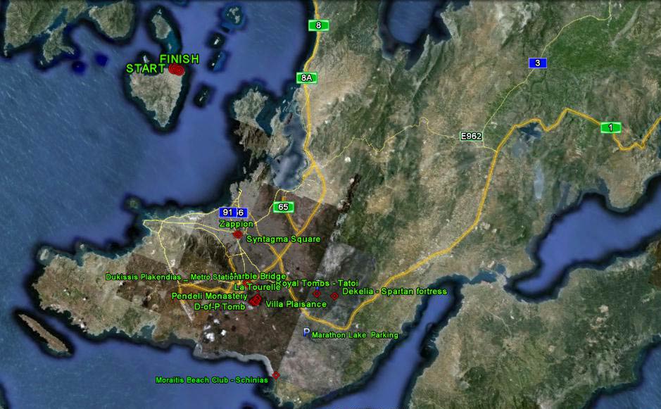
View from 130 km up
Note: Aegina is due-north from Dukissis Plakentias metro station.
- THE FERRY RIDE FROM PIREAUS -
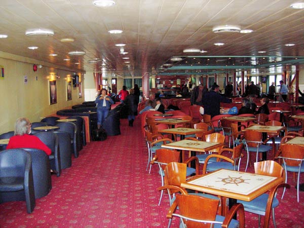
Doggie Style & other passengers get ready to disembark in Aegina
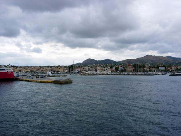
Approaching Aegina harbour and jetty
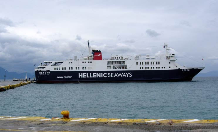
The NEFELI prepares to leave.
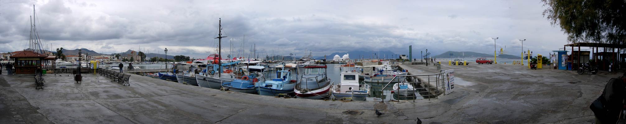
>>>>>>>>>>>>>>>>>>>>>> Aegina harbour >>>>>>>> Panoramic view >>>>>>>>>>>
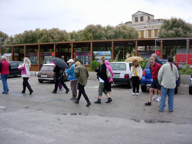
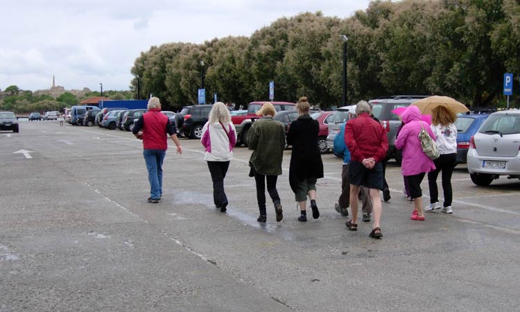
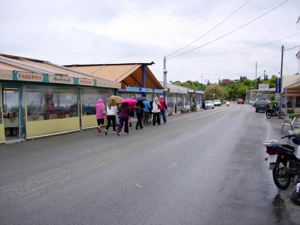
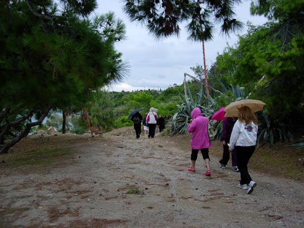
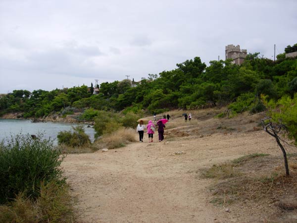
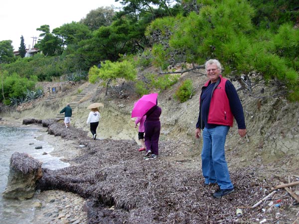
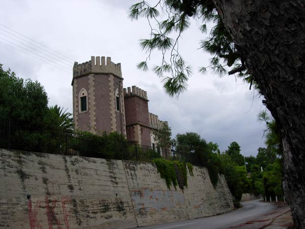
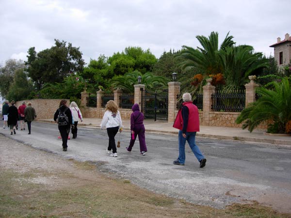
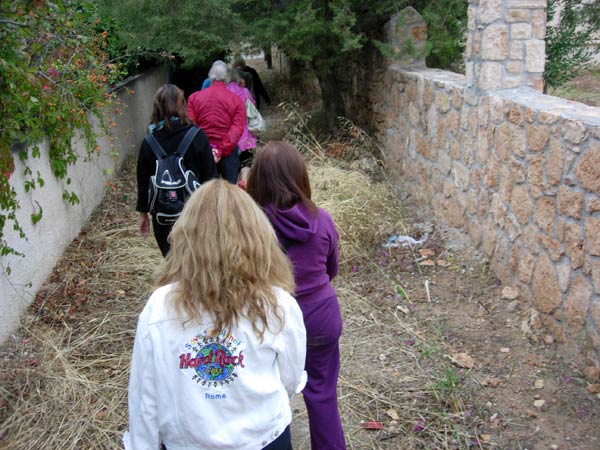
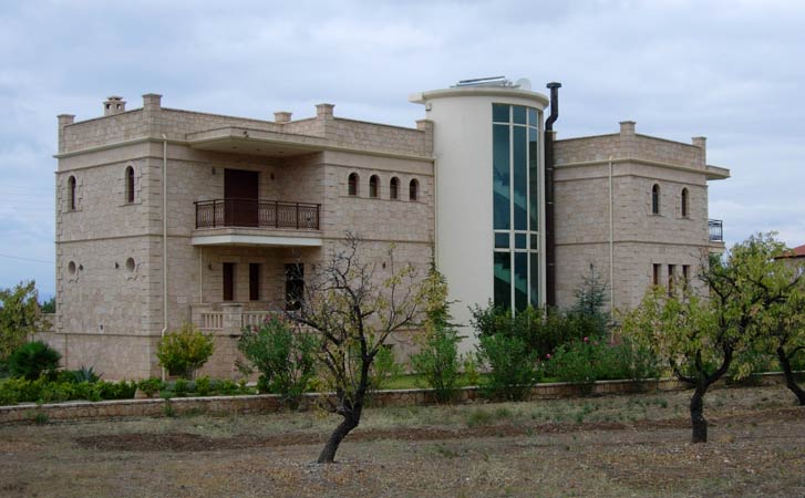
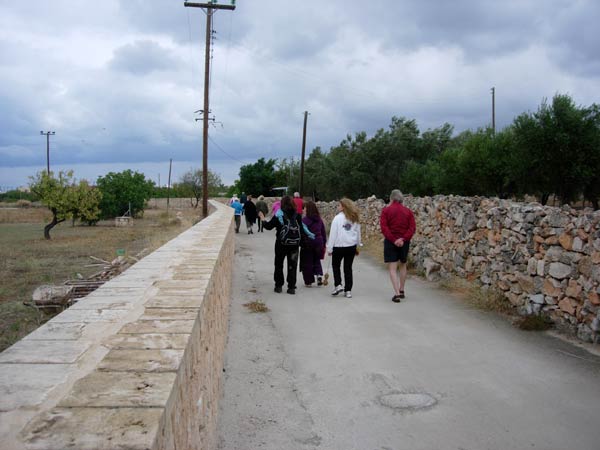
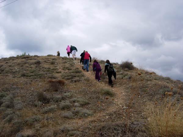
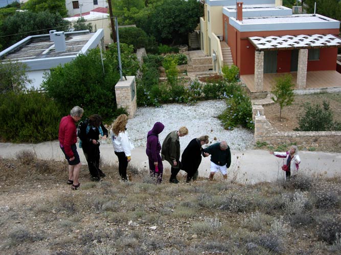
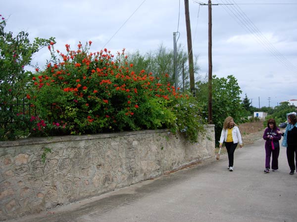
- T H E W A L K & R U N -
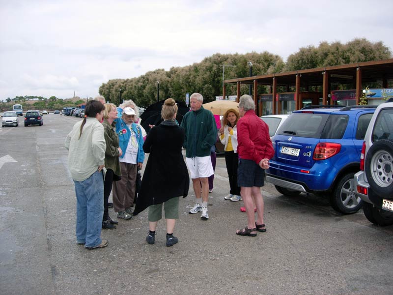
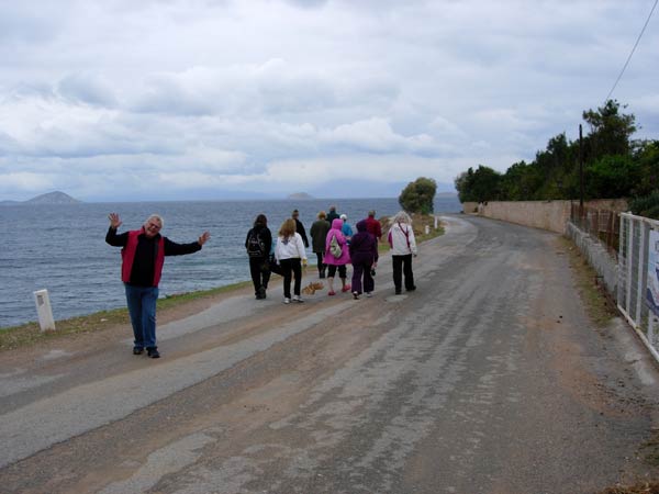
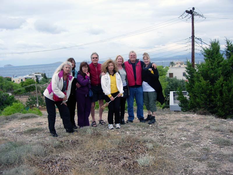
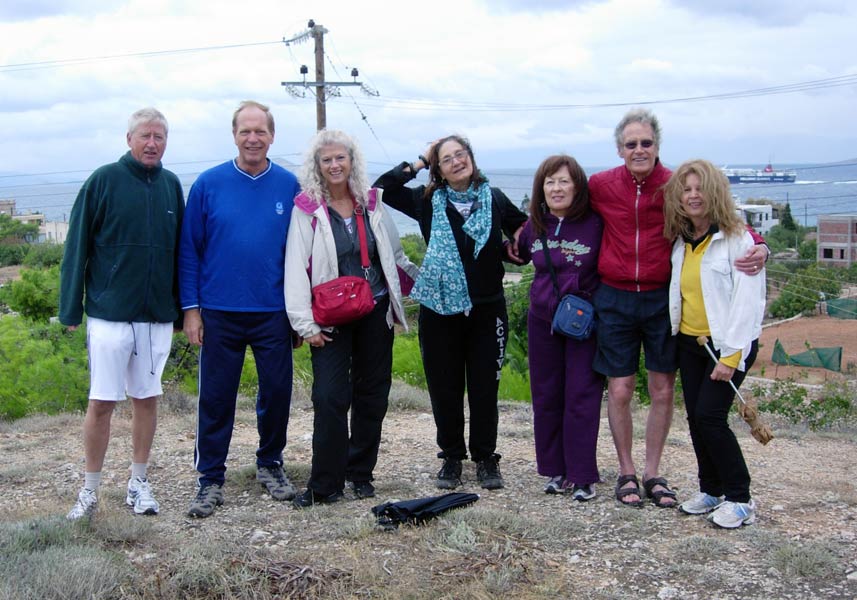
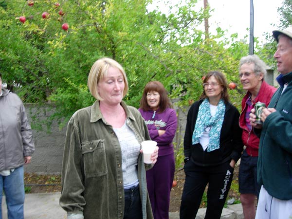
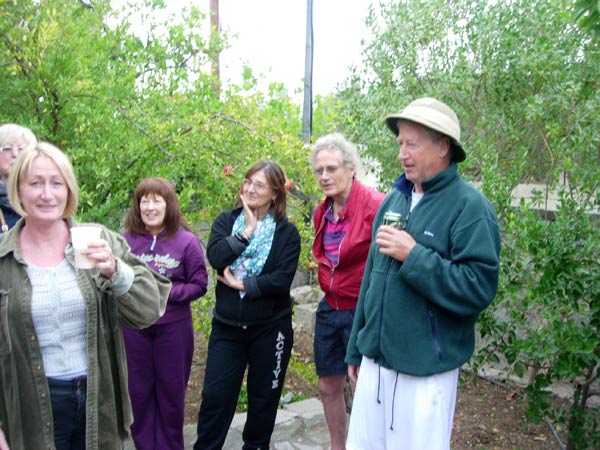
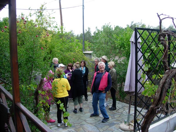
Our hashers from Athens are greeted by the Aegina hashers & friends
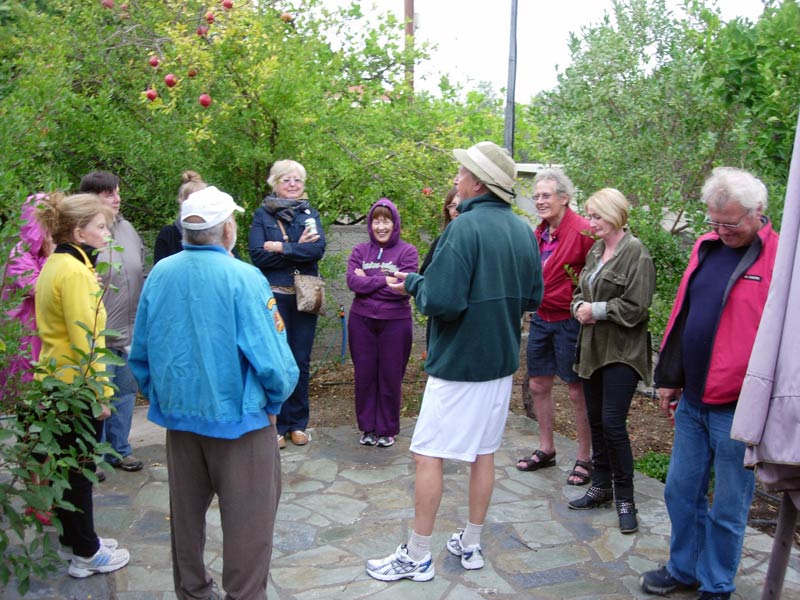
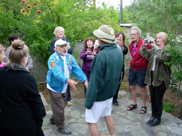
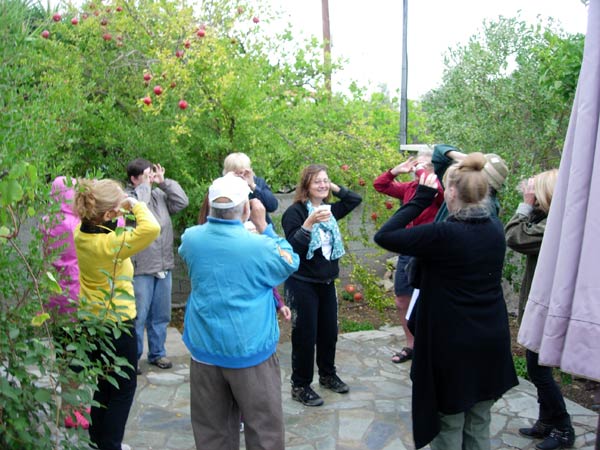
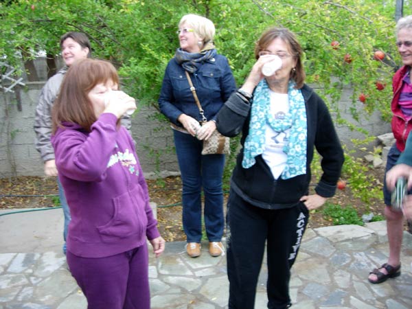
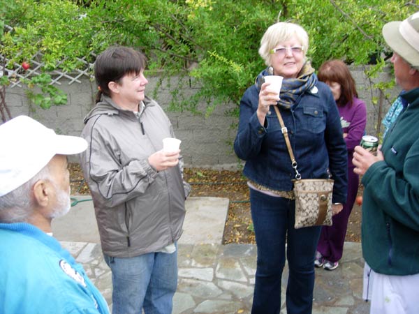
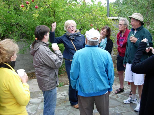
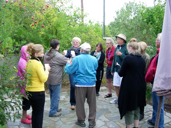
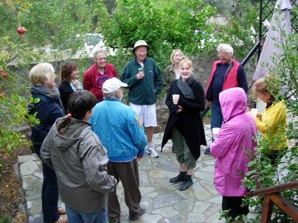
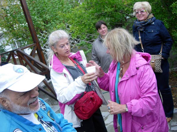
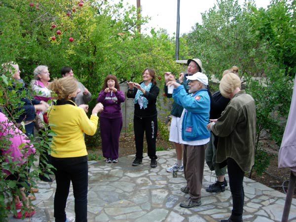
- T H E C I R C L E -
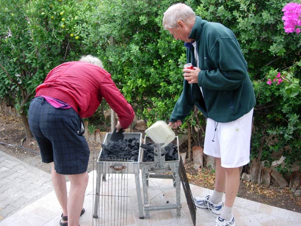
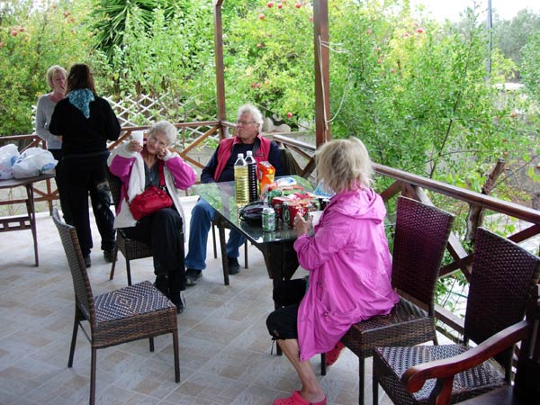
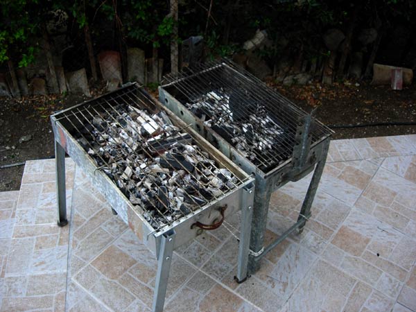
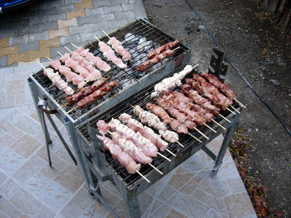
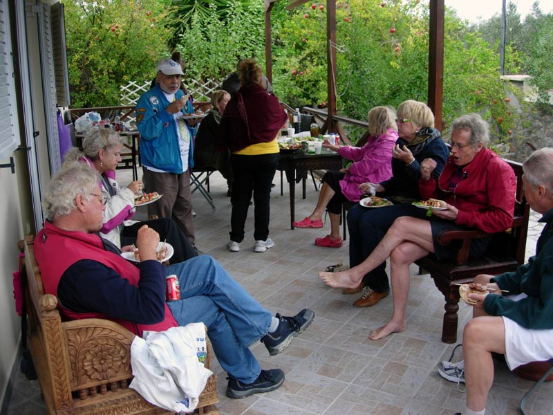
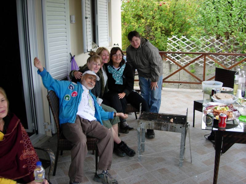
- T H E B A R B E Q U E -
- O T H E R S T U F F -
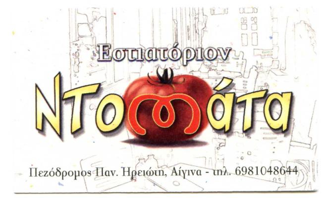
Where we ate dinner on Saturday Night
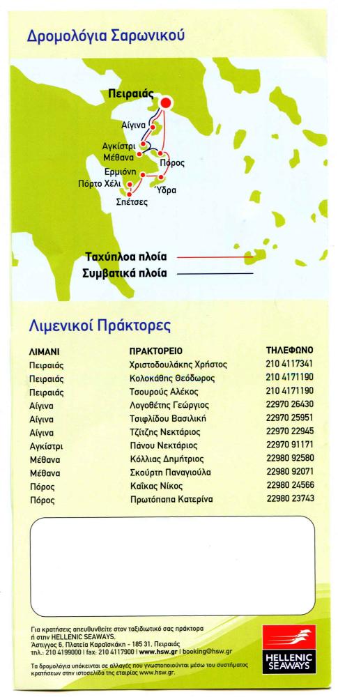
Hellenic Seaways agents at various ports:
Pireaus, Aegina, Agistri, Methana, Poros
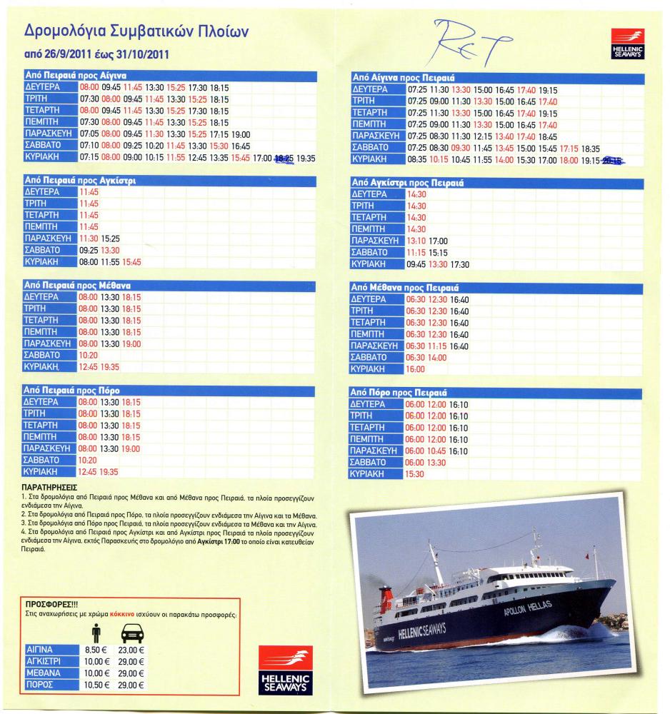
Hellenic Seaways timetable to/from Aegina (top R & L) for this period
|
NOTES To
send the photo by e-mail as an attachment: MD Feb. 2006 |
Please use your "Back" Button (Top Left) to return to the previous page