Run 1746 (Sunday 15th May 2011)
Hare:
The Bookmaker
Photographer: Mad Dog
NOTE1:
Use the horizontal scroll bar (bottom of screen) to view the panoramic photos.
NOTE2: The Lat. & Lon. coords can be copied and pasted into the Google Earth 'Fly-to' window.
- T
H E T R A I L -
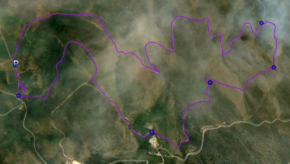
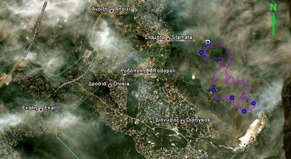
The starting point
& circle (P): 38° 7'20.45"N, 23°53'37.34"E
Altitude: 405 metres above sea level
Trail cartographic Length = 9.07 km
The trail from 3 km up
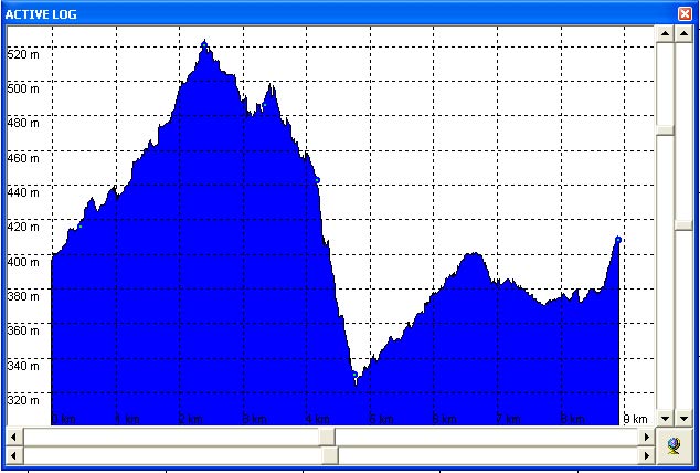
Altitude profile of The Bookmaker's trail (a vertical range of 200 metres )
Trail from 8.6 km up
- T H E R U N -
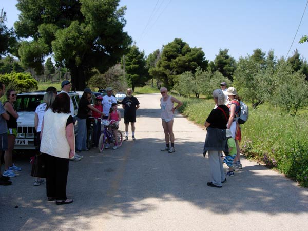
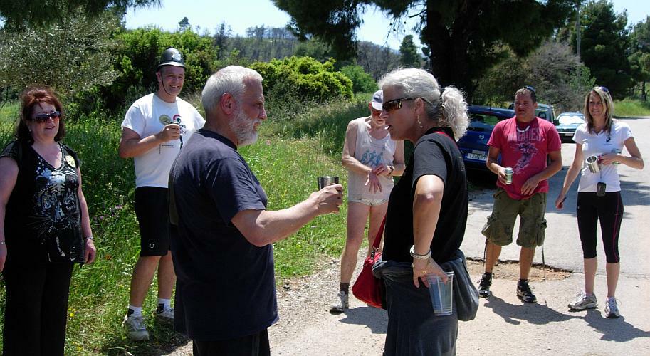
The hare (The Bookmaker) describes his trail
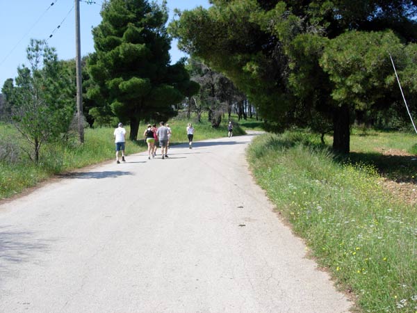
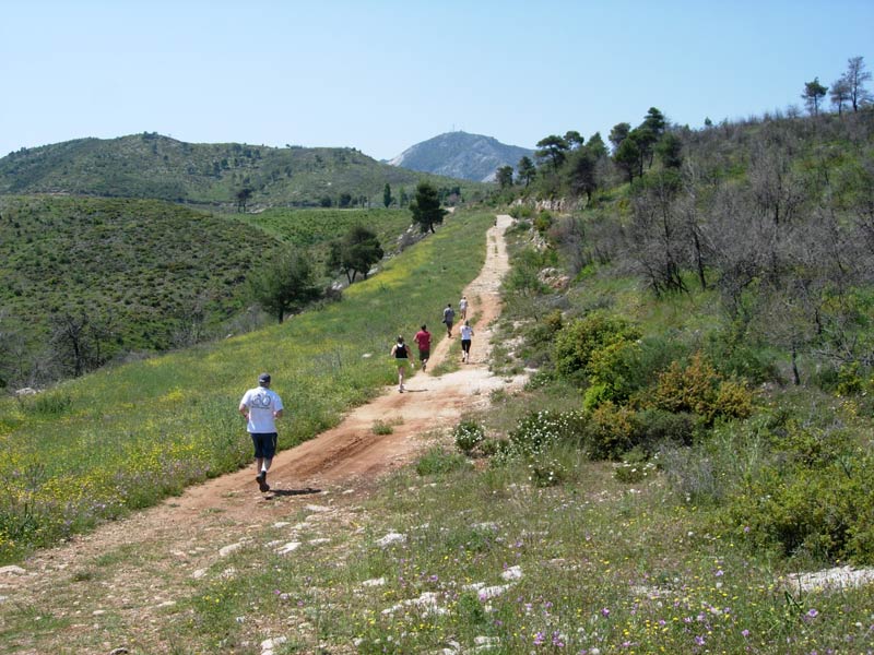
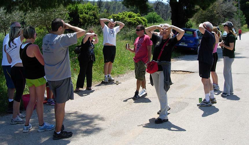
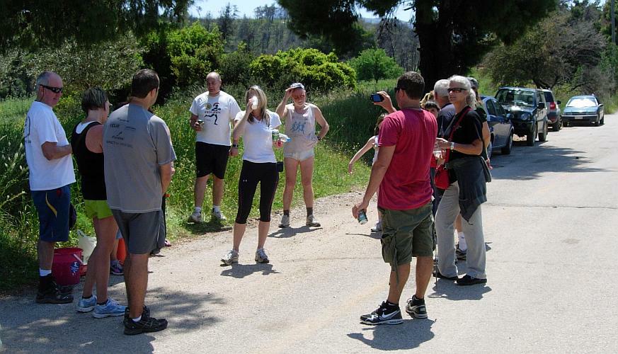
The pack unknowingly heads for the first falsie
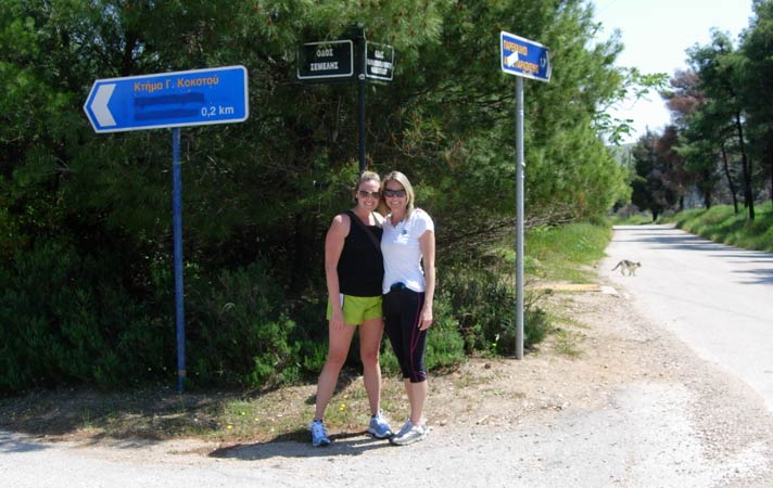
Our visiting Florida harriettes pose by the (formerly Semeli) winery sign.
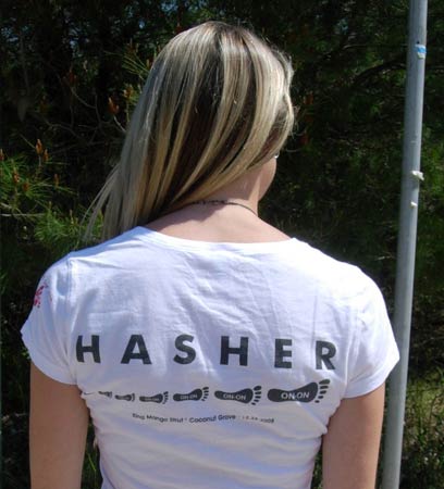
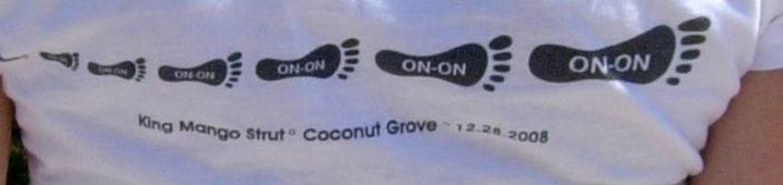
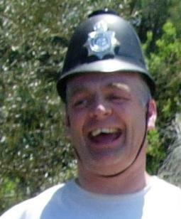
A true hasher!
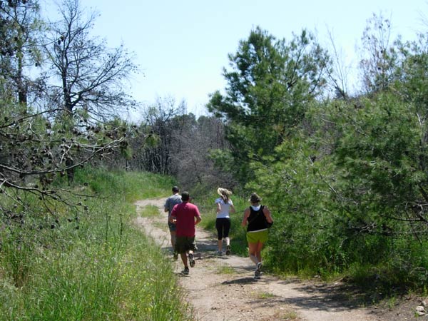
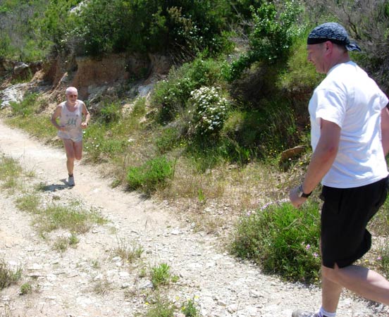
Back on track
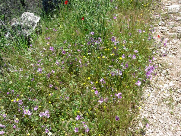
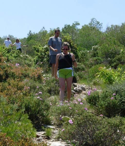
Wild springtime flowers
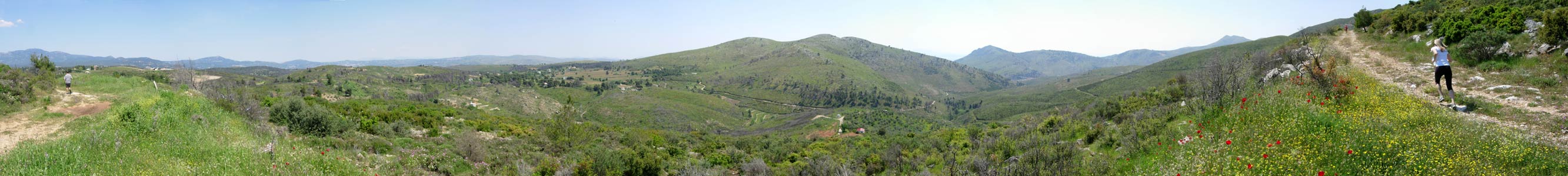
>>>>>> Panoramic view >>>>>
>>>>>>> Panoramic view >>>>>>
On On!
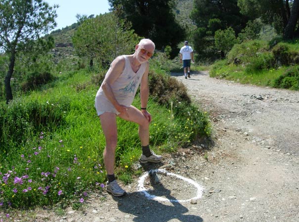
The Bookmaker poses by one of his checks
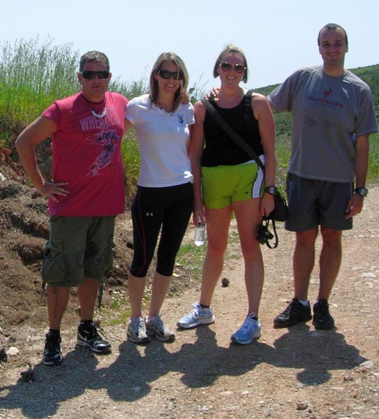
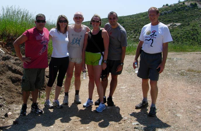
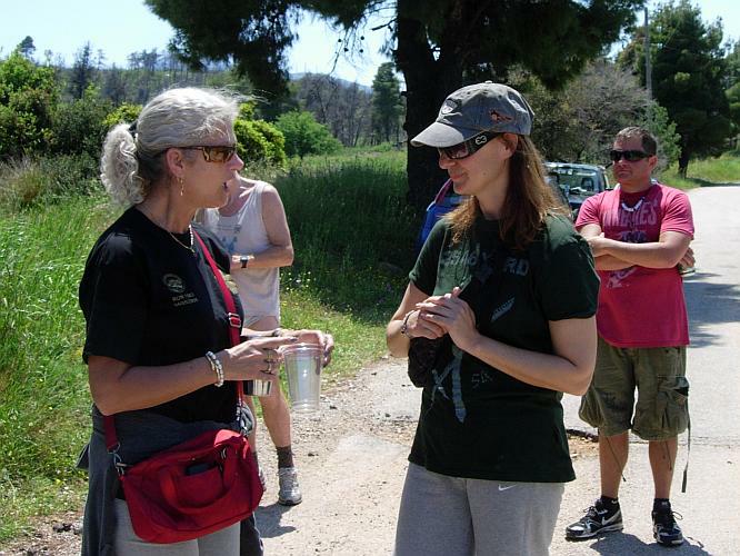
Our Florida visitors
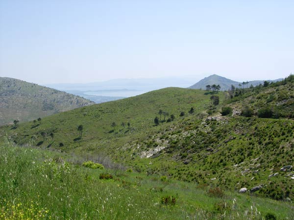
View of the sea out towards Schinias beach
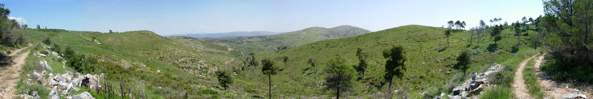
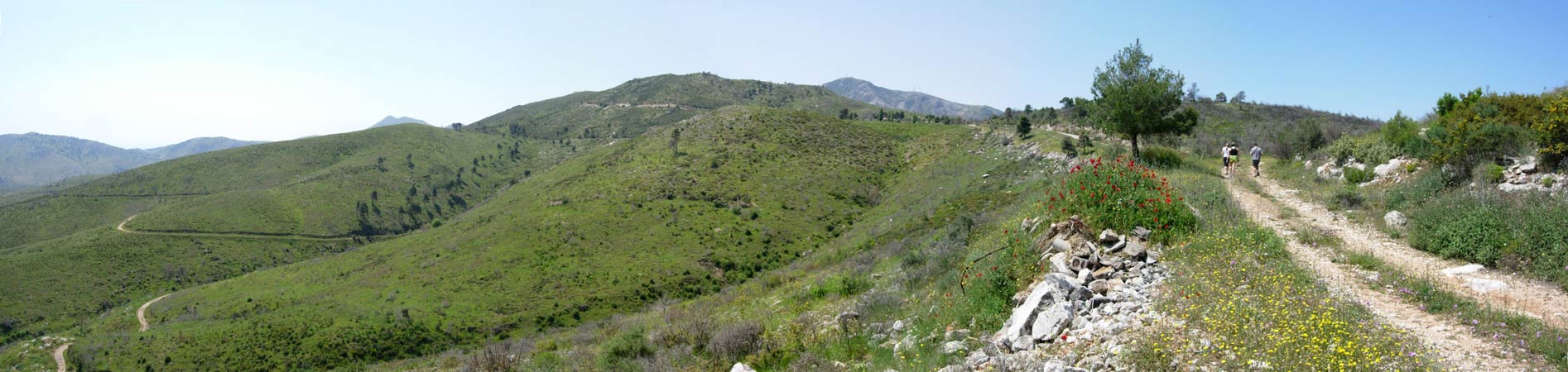
>>>>>> Panoramic view >>>>>>
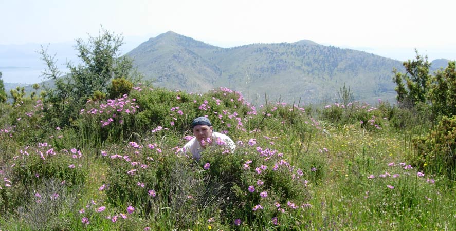
RA Fair Cop joins the wild flowers
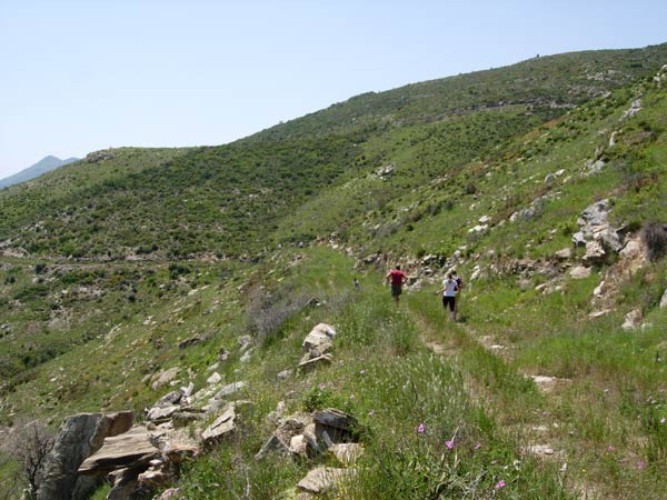
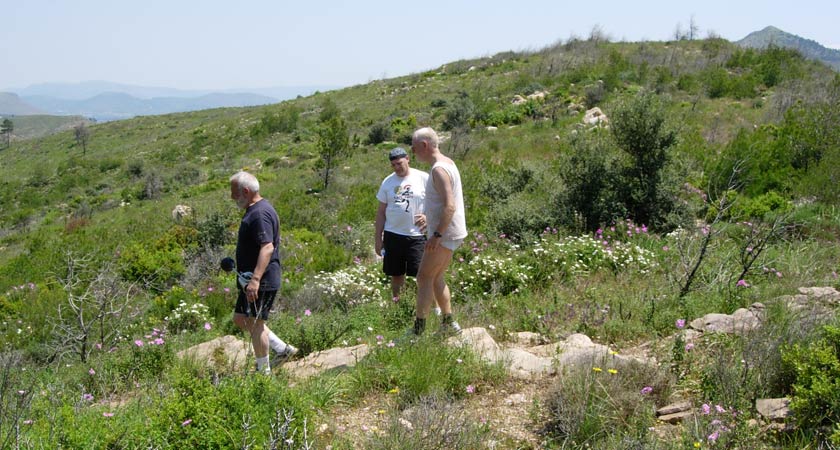
Mountain track
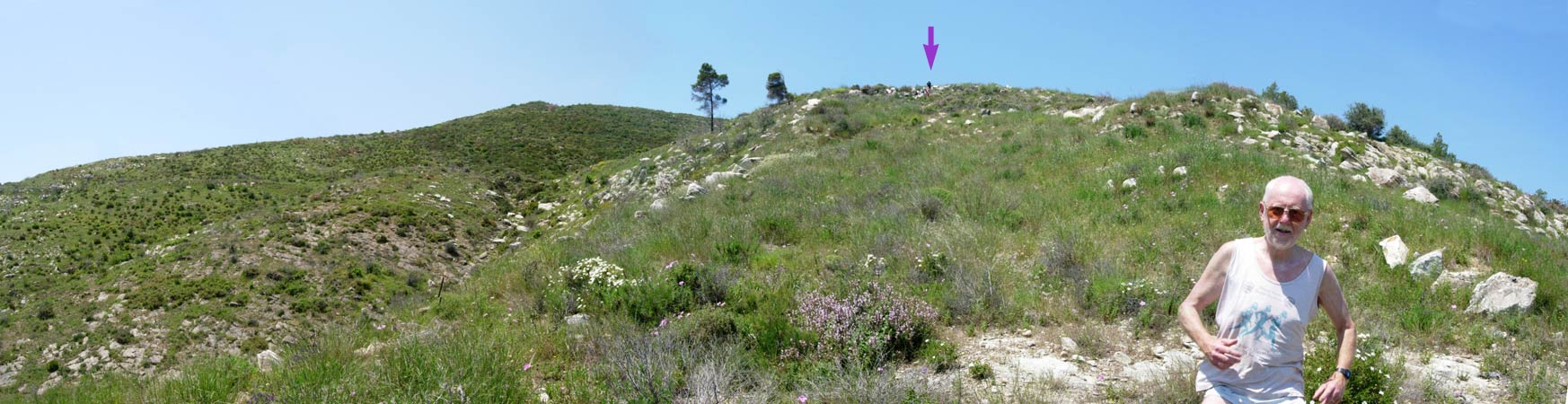
>>>>> Panoramic ..... Following the Bookmaker down the mountainside (the arrow points to the hashers) >>>>>
On down!
Negotiating the undergrowth
Which is the correct way?
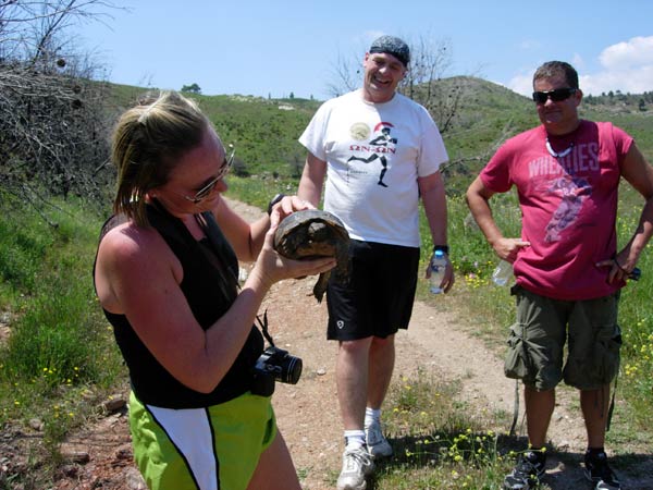
Fair Cop finds a tortoise
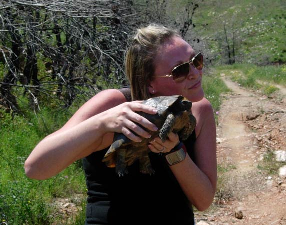
The tortoise makes a friend
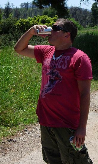
- T H E C I R C L E -
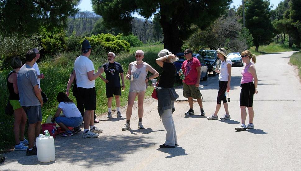
The hare's down-down
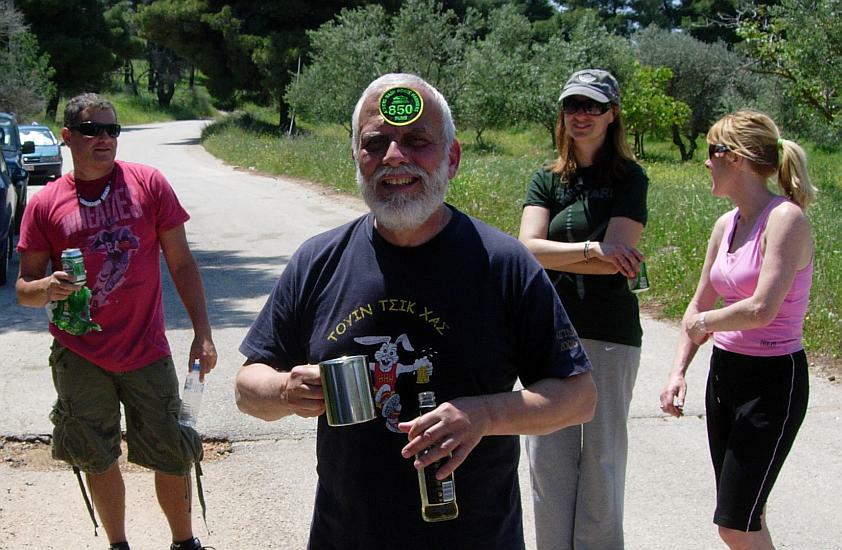
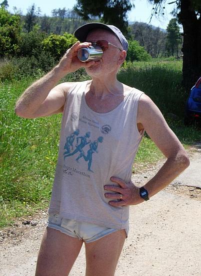
Mountain Goat is awarded his 850 run badge
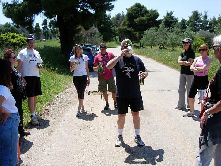
A well deserved DIO
GM Mad Dog gets a DIO
Fair Cop presents the visitors with their AH3 visitors badges
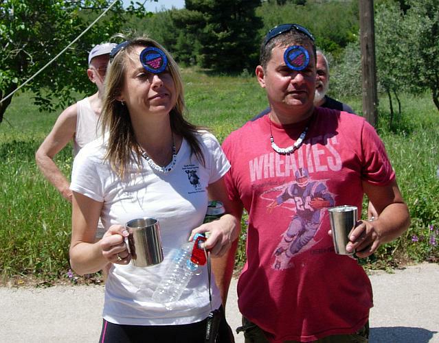
They are not quite sure what to expect
Enjoying the moment
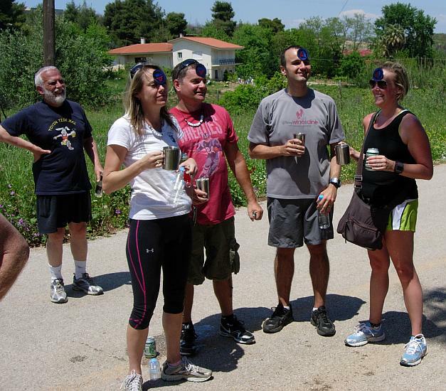
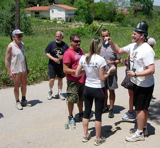
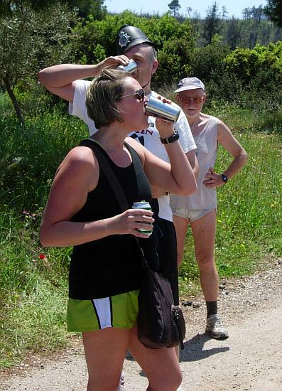
Group down-down to welcome them
Get it down!
Mountain Goat & Clitoria entertain us
Clitoria interviews a newcomer
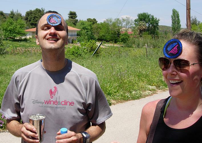
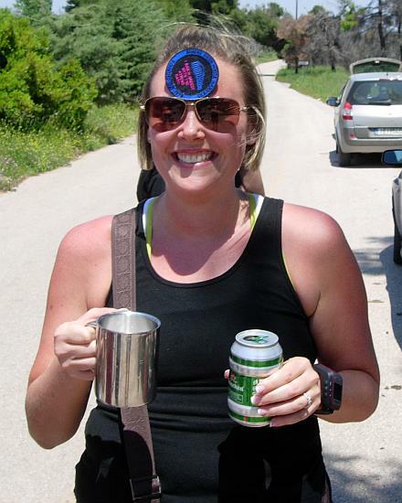
Visitor joins the Flying Club
And get's a beer
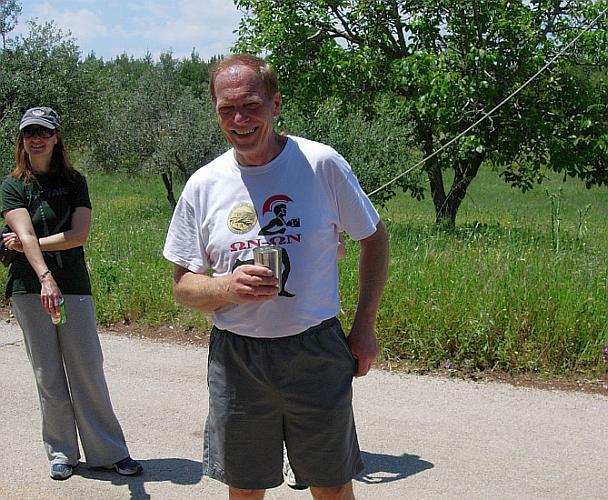
The Bookmaker's DIO
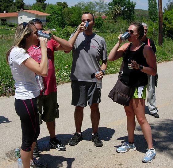
Dual DIO's
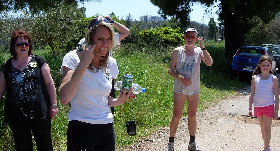
The visitors are getting lots of attention
The circle
- T H E T A V E R N A -
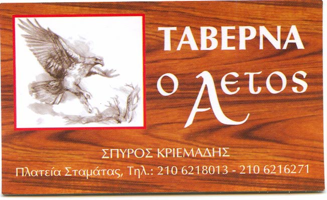
The Eagle Taverna in Stamata
|
NOTES To
send the photo by e-mail as an attachment: MD Feb. 2006 |
Please use your "Back" Button (Top Left) to return to the previous page