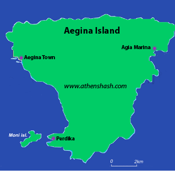
Island
of Aegina
(Saronic Gulf)
Exotic - Combined Island Hash
Athens
Hash House Harriers
&
The Aegina Pissed-Hash-Yo (Pistachio) Hash
Run 1741 (Sunday 10th April 2011)
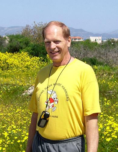
Hare:
Mad Dog
Photographer: Mad Dog
NOTE1:
Use the horizontal scroll bar (bottom of screen) to view the panoramic photos.
NOTE2: The Lat.
& Lon. co-ordinates can be copied and pasted into the Google Earth 'Fly-to'
window.
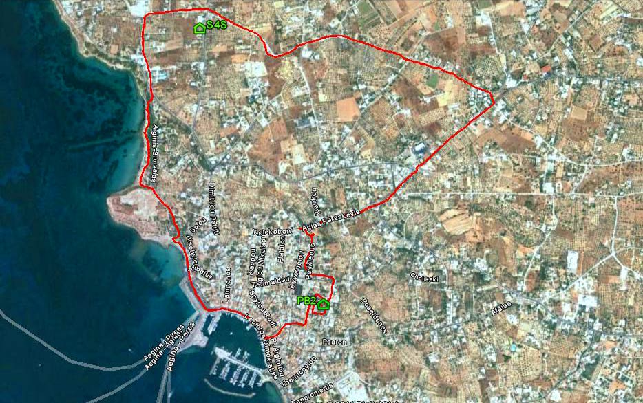
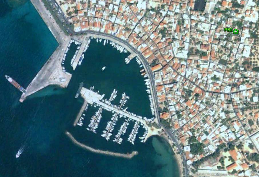
- T
H E T R A I L -
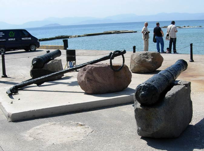
The starting point
& circle (P): 37°44'46.49"N, 23°25'55.76"E
Altitude: 5 metres above sea level
Trail cartographic Length = 5.2 km

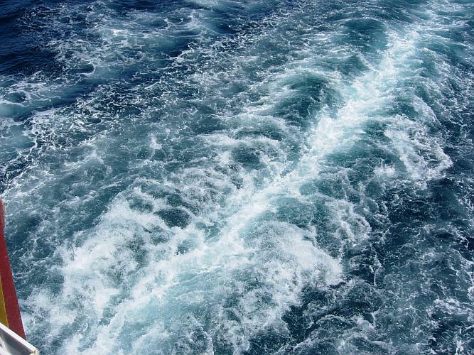
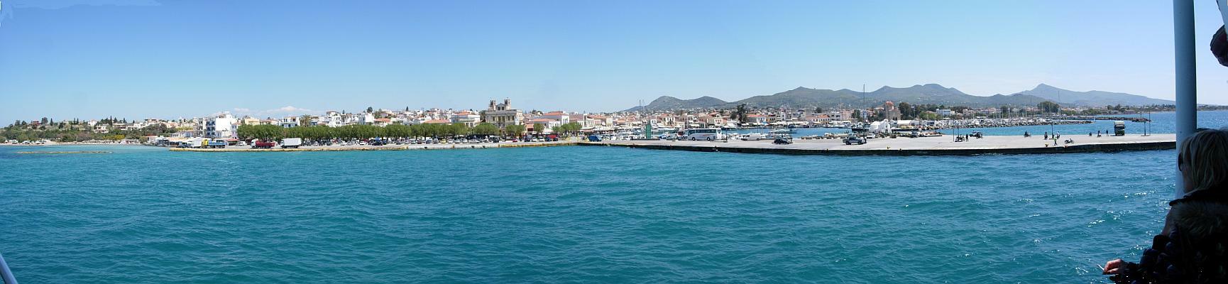
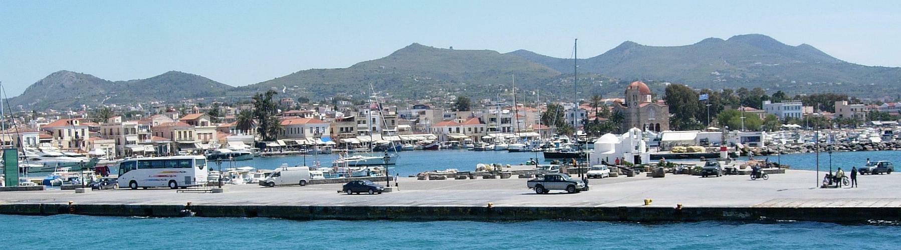
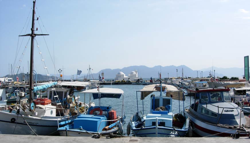
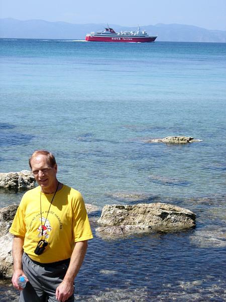
- THE FERRY TO AEGINA -
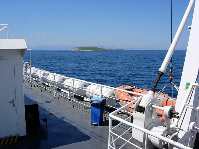
The Ag. Nektarius departing from the port of Pireaus

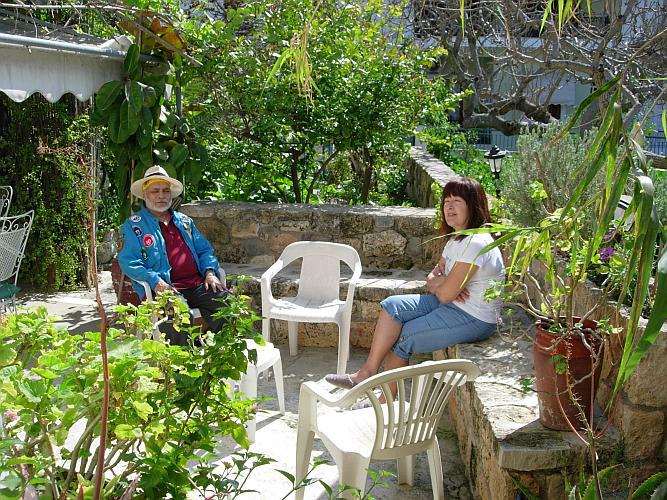
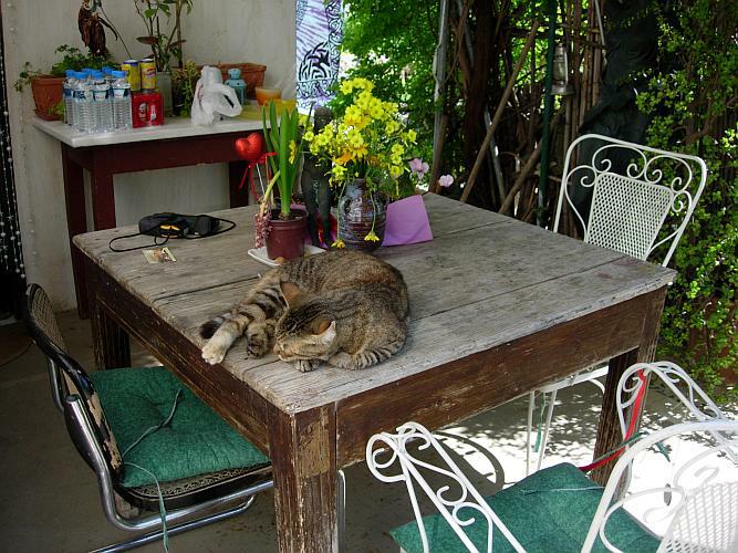
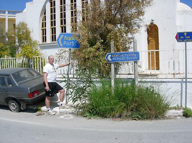
- T H E P R E R U N -
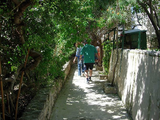
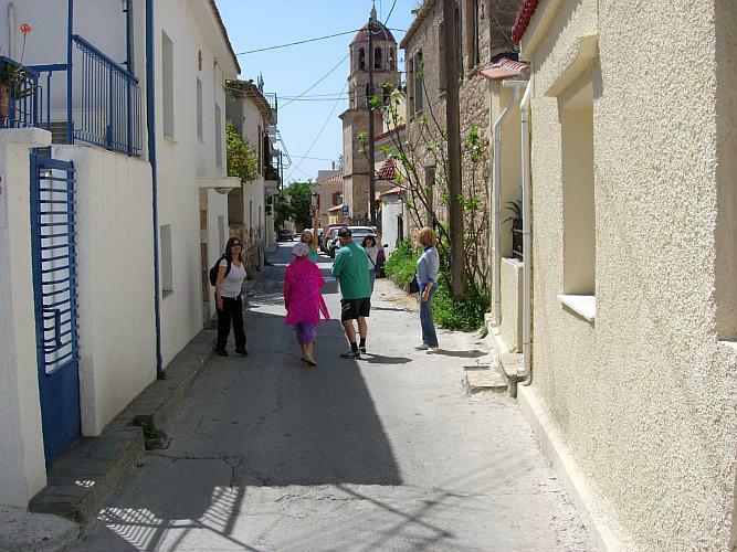
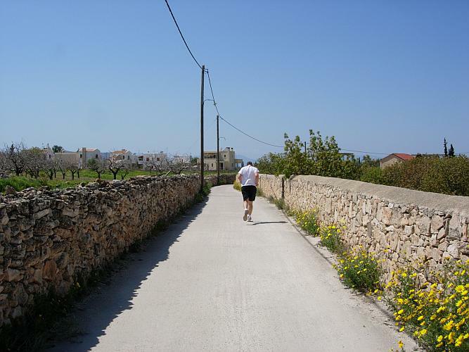
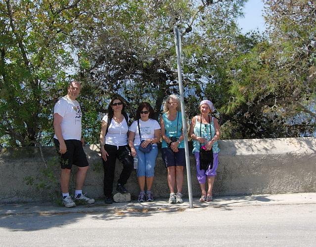
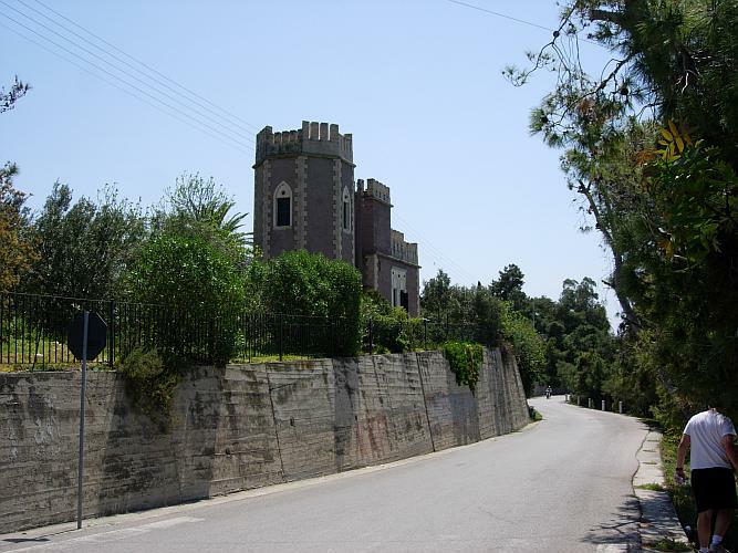
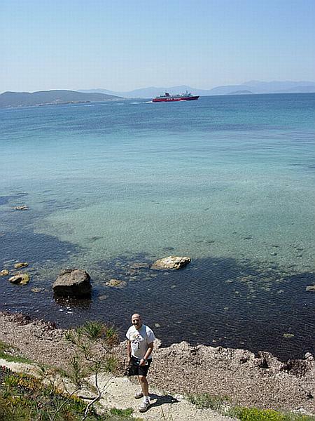
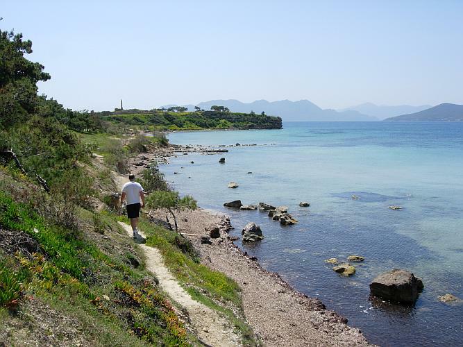
- T H E R U N A N D W A L K -


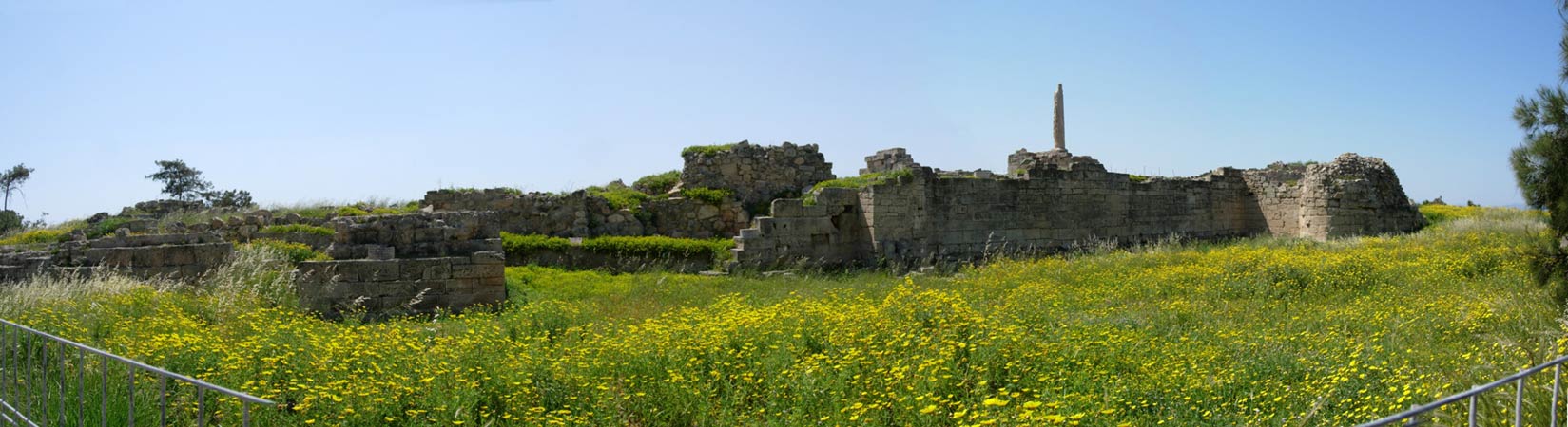
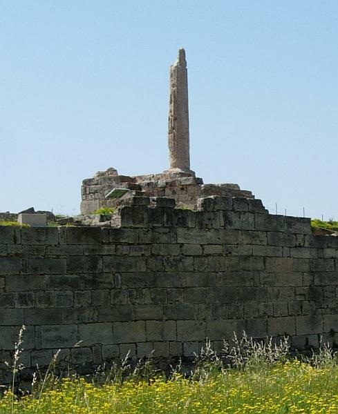
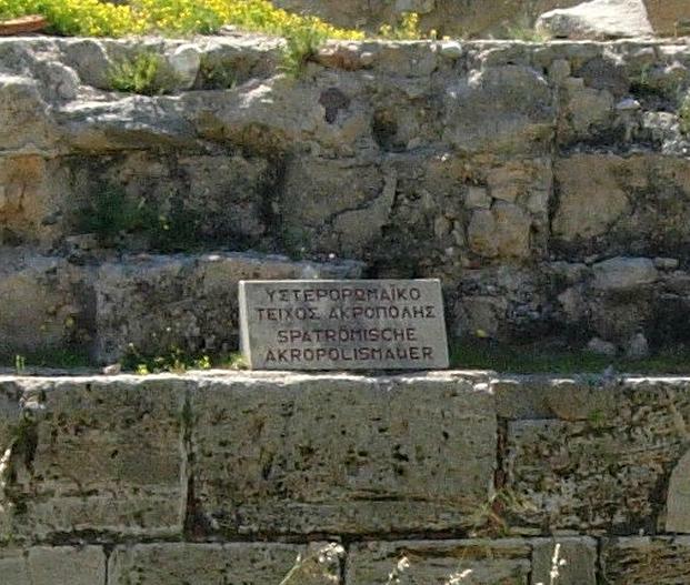

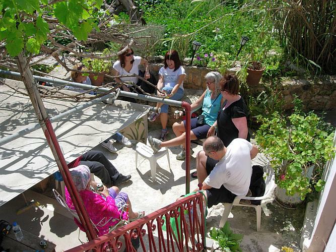
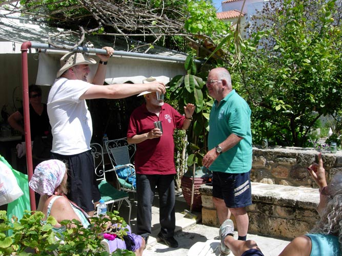
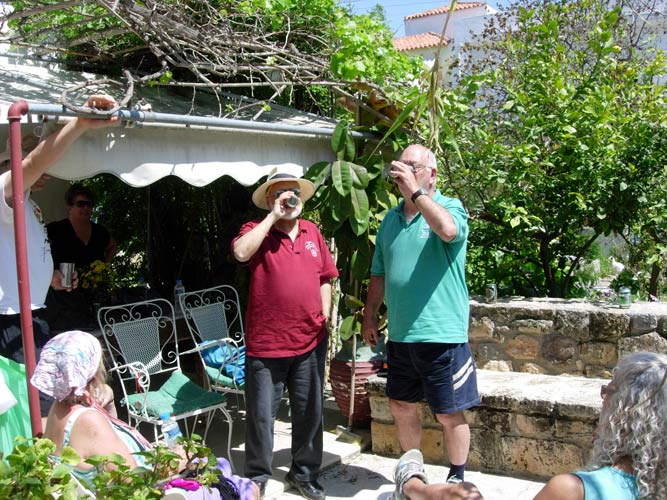
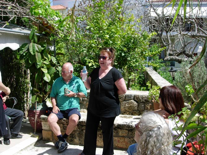
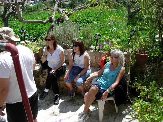
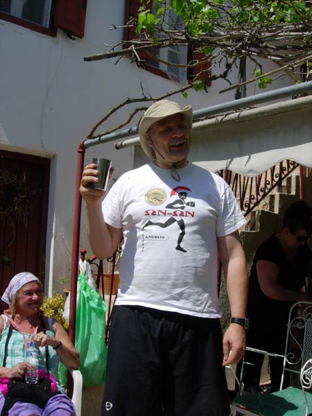
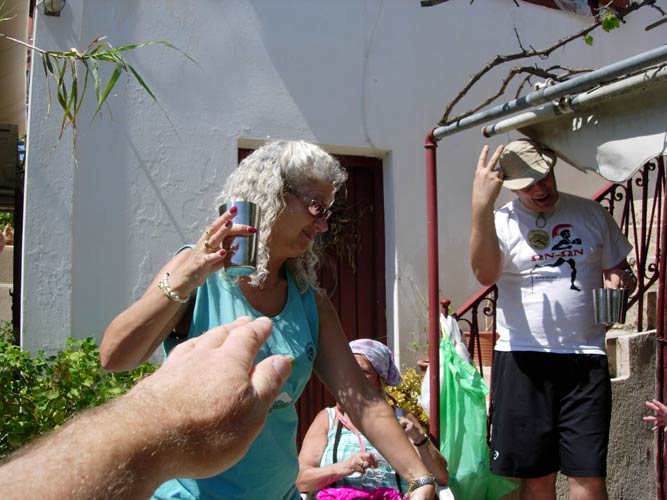
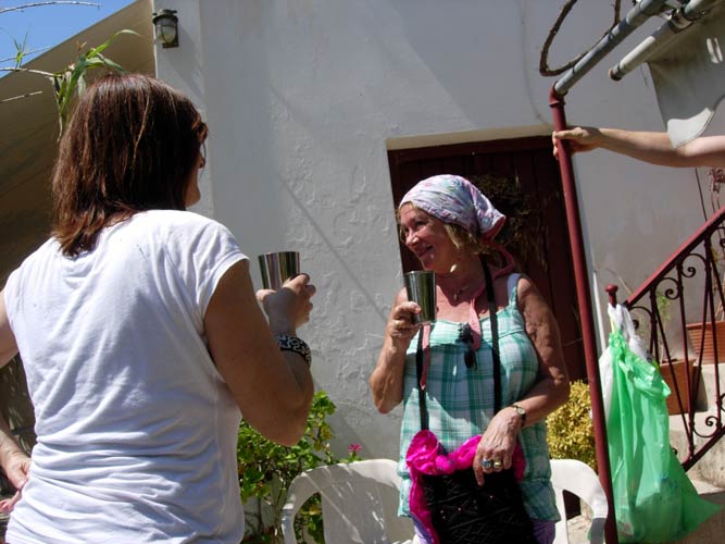
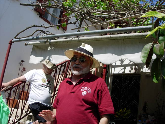
- T H E C I R C L E -
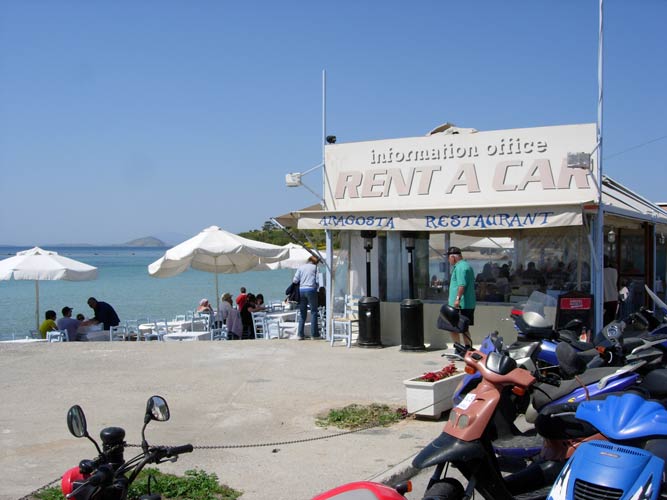
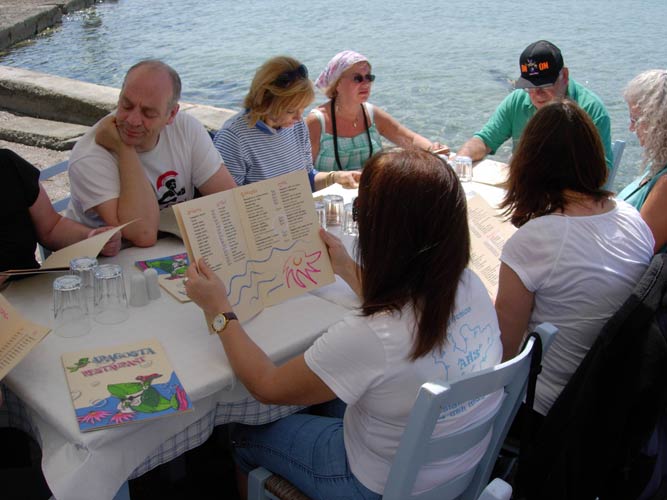
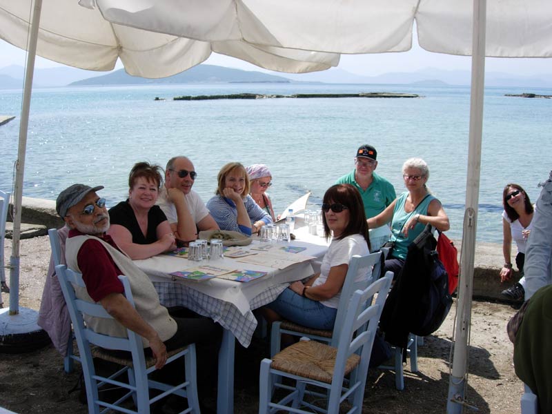
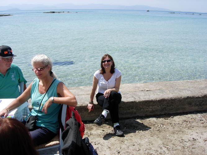
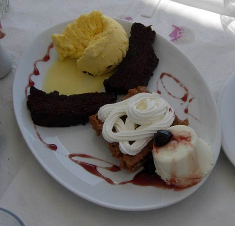
- T H E T A V E R N A -
|
NOTES To
send the photo by e-mail as an attachment: MD Feb. 2006 |
Please use your "Back" Button (Top Left) to return to the previous page