Mount Pendeli
(Northern Athens)
Run 1729 (Sunday 16th January 2011)
Hare: Mad Dog
Photographer: Mad Dog
NOTE: Use the horizontal scroll bar (bottom of screen) to view the panoramic photos.
- T
H E T R A I L -
The starting point
& circle (P): 38° 3'20.25"N, 23°52'48.43"E
Altitude: 568 metres above sea level
Trail cartographic Length = a tough 4.7 km
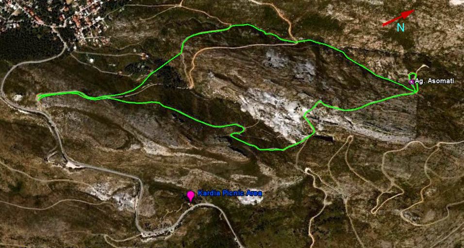
The trail from 2.8 km up
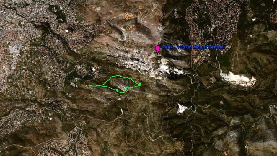
The trail from 10.8 km up
- B E F O R E T H E R U N -
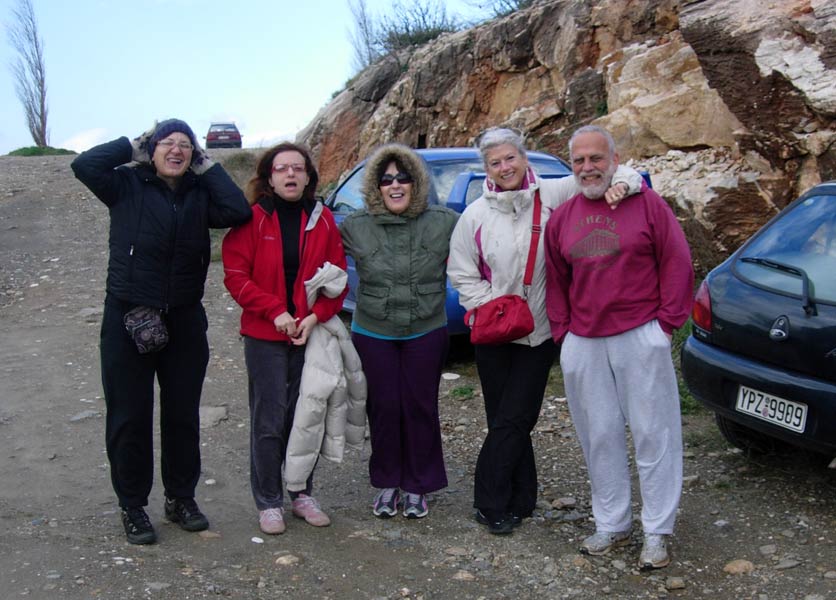
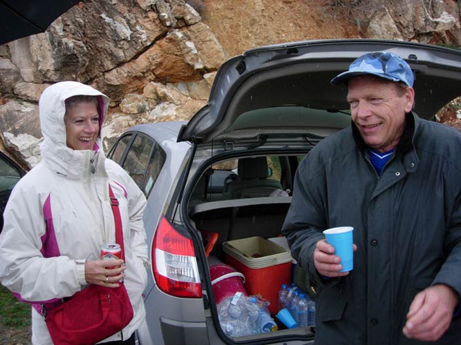
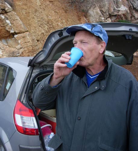
Bouboulina holds onto her hat
Extremely windy so we had to park & shelter behind the rocks.
Equal numbers of runners ( Mountain Goat, Stress Cow & Mad Dog)
& walkers ( Bouboulina, Doggie Style & Clitoria):
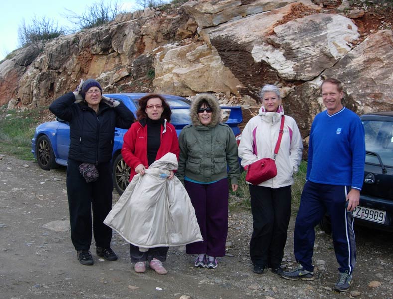
One more quick photo before we set off.
- T H E R U N -
Explanation....The following photos were taken while setting the trail the previous day.
The weather was sunny and not too cold (15 degC).
Sunday was not a day to be taking photos on the run unless one had a ruggedized, underwater camera
.
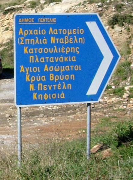
This way to the start of the run
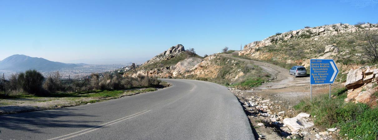
>>>>>> Panoramic view : A slip road leading off from the mountain road
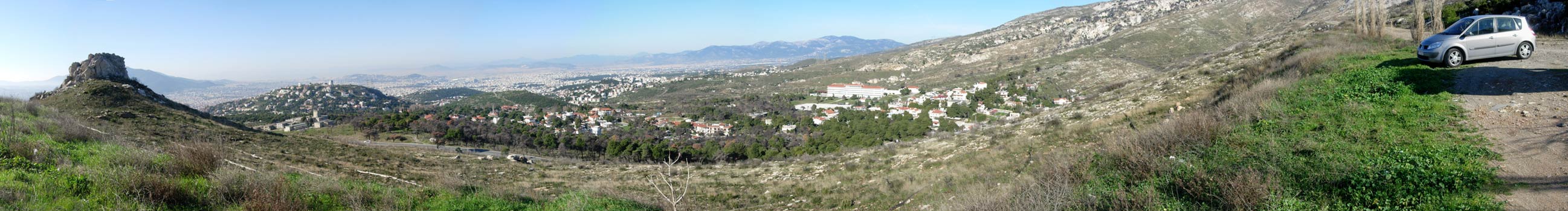
>>>>>>> Panoramic view of the great view we would have had if we could have parked where should have parked...... (huh?)

At the first check.
The sign for the church of Αγιοι Ασωματοι (Agii Asomati - both words plural)
...
meaning The Incorporeal Saints (or Saints Without Bodies) (So no problem dieting!)
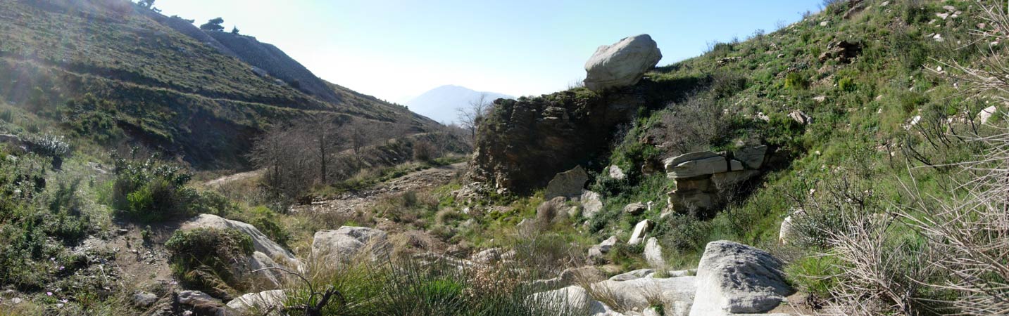
>>>>> Panoramic view - Climbing up a dry river bed - on the trail
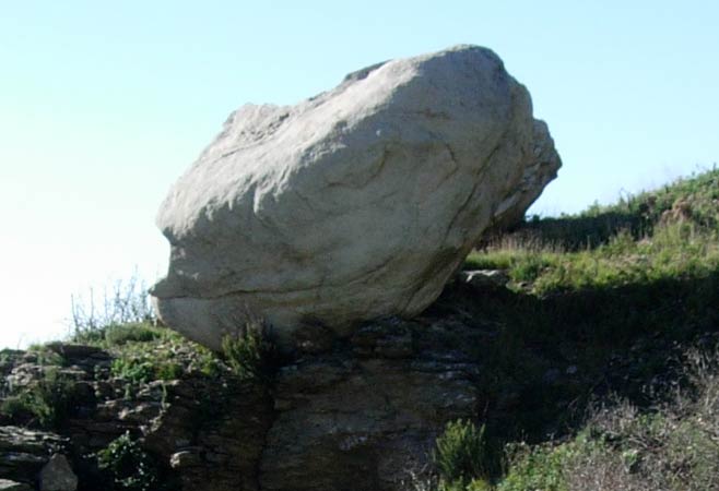
Warning! Do not sit under this rock!
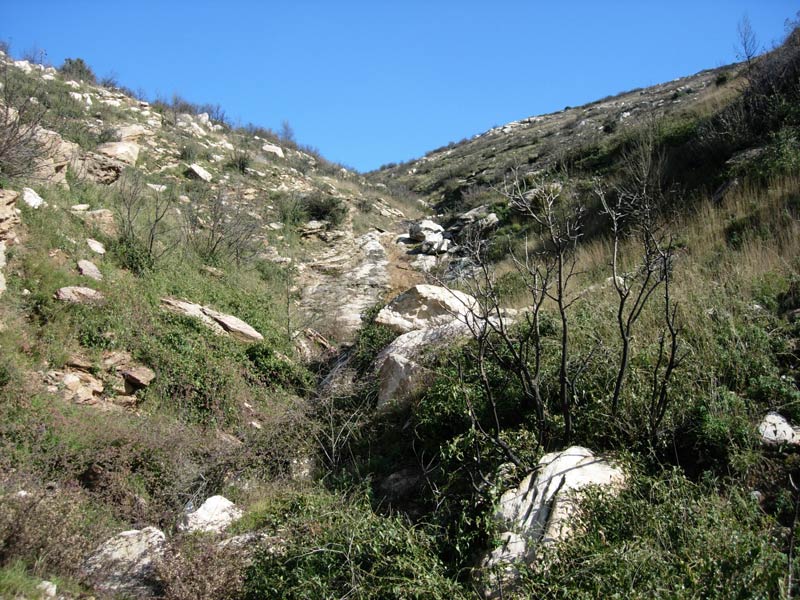
Climbing up the (almost) dry river bed
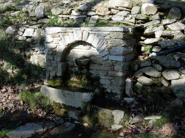
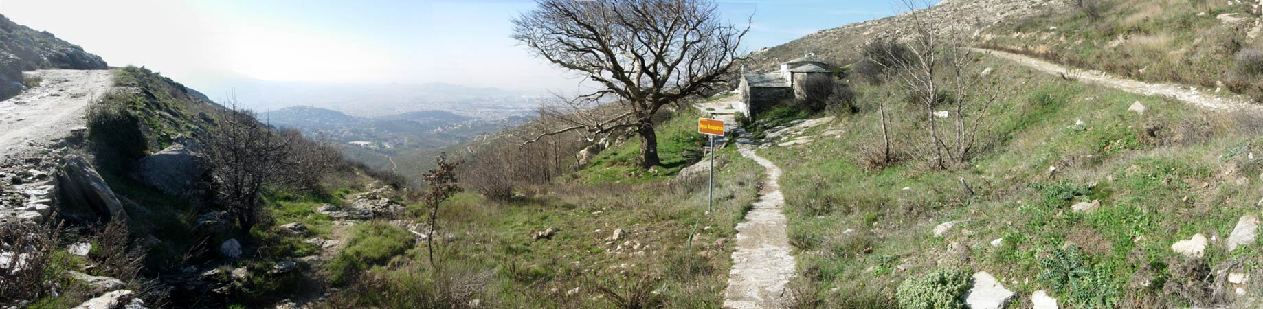
The spring at the ancient little church of Agii Asomati built up on the mountainside
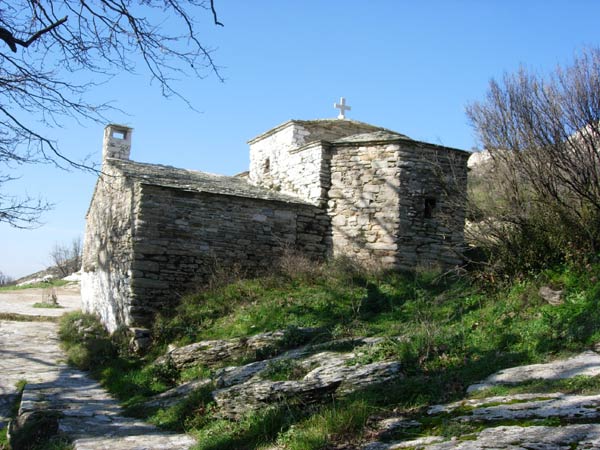
View of the church from just above the spring
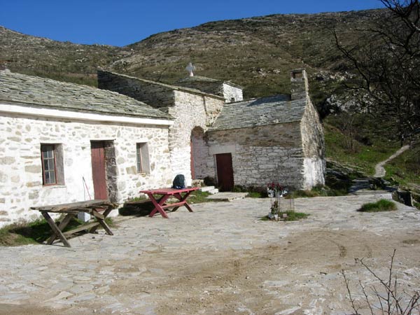
Another view of the church with the rooms for shelter in the foreground

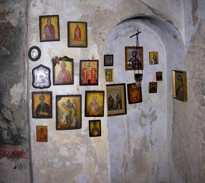
Views inside the church. Candles are available for lighting here at no charge.
Where else in the world could you have an unattended church open to the public & nothing stolen?
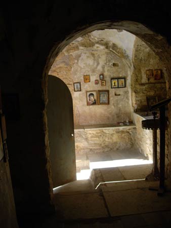
View towards the entrance door
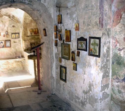
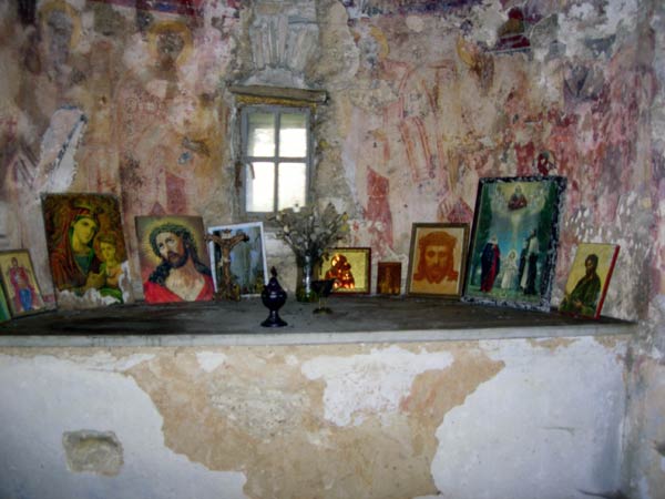
Remains of frescos can be seen on these old walls
>>>>> Panoramic view: Leaving the church and continuing the run
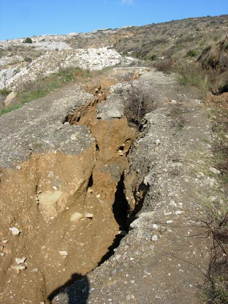
Soil erosion on the road leading to the church
The loss of the pine trees and undergrowth in the forest fire now allows rainwater
to gush down the mountainside and rip-away the soil.
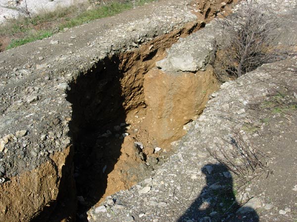
Don't try driving up this road!
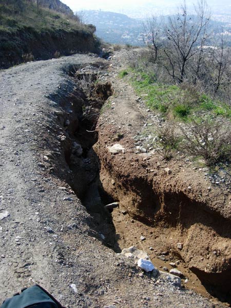
Just a matter of time before this piece of road disappears down the mountainside
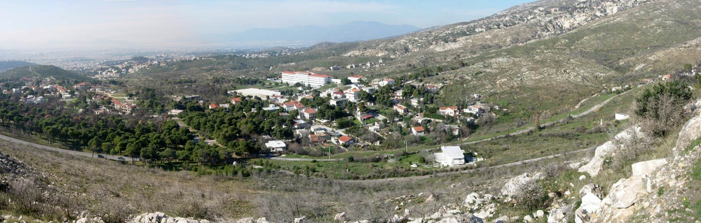
>>>>> One final Panoramic on the mountain road back from the church to the hasher's cars
The white house In the foreground belongs to Doggie Style's godmother & used to be surrounded
by pine trees before the forest fire. By some miracle the house was almost untouched except for melted window shutters.
- T H E C I R C L E -
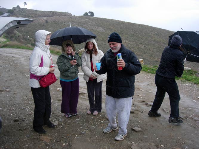
By now it was not only cold & windy but pouring with rain.
The harriettes sensibly sat in MD's car with the heater running
until the last runners MD & MG arrived.
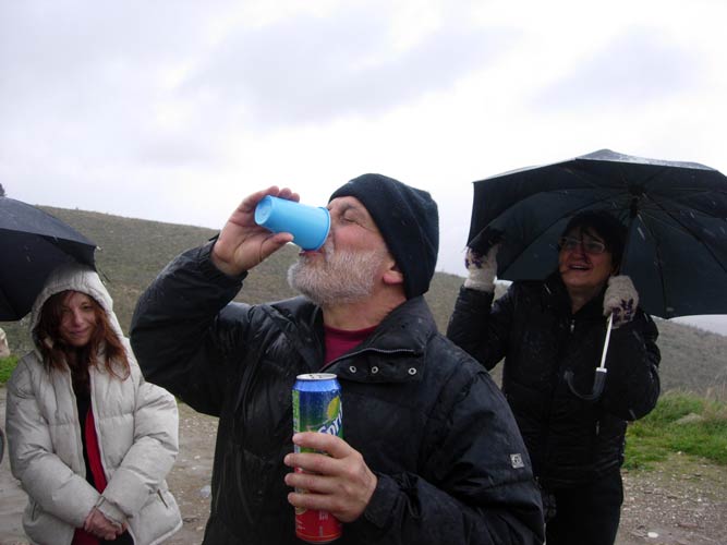
This was going to be a fast circle. No time for hash tankards.
The hare's (& GM's) DIO
A quick down-down
Mountain Goat's DIO for watering the trail (amazing he didn't get a chilly willy)
Notice the wind has caught Bouboulina's umbrella
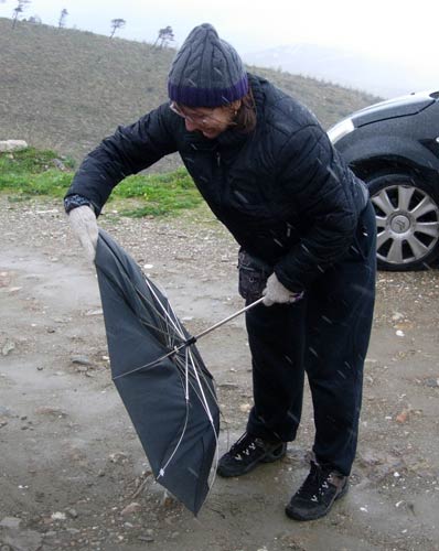
Oops!
Mountain Goat
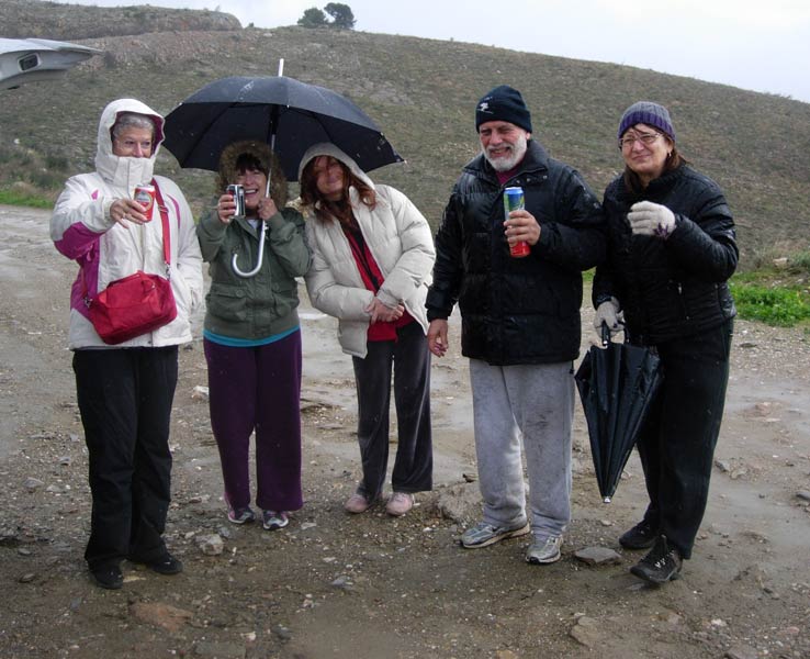
Cheers! from the hashers
- T H E T A V E R N A -
Nope! All too wet and cold!
|
NOTES To
send the photo by e-mail as an attachment: MD Feb. 2006 |
Please use your "Back" Button (Top Left) to return to the previous page