Mount Pendeli
(Northern Athens)
- BOXING DAY WALK -
Run
1726 (Sunday 26th December 2010)
Photographer: MD
NOTE: Use the horizontal scroll bar (bottom of screen) to view the panoramic photos.
- T H E W A L K -
Parking & starting point: 38° 4'17.55"N, 23°55'21.78"E
Attache's Arms: 38° 3'25.70"N, 23°56'0.41"E
Altitude: 585 metres above sea level
Cartographic Length of walk (There and back) = 5.2 km
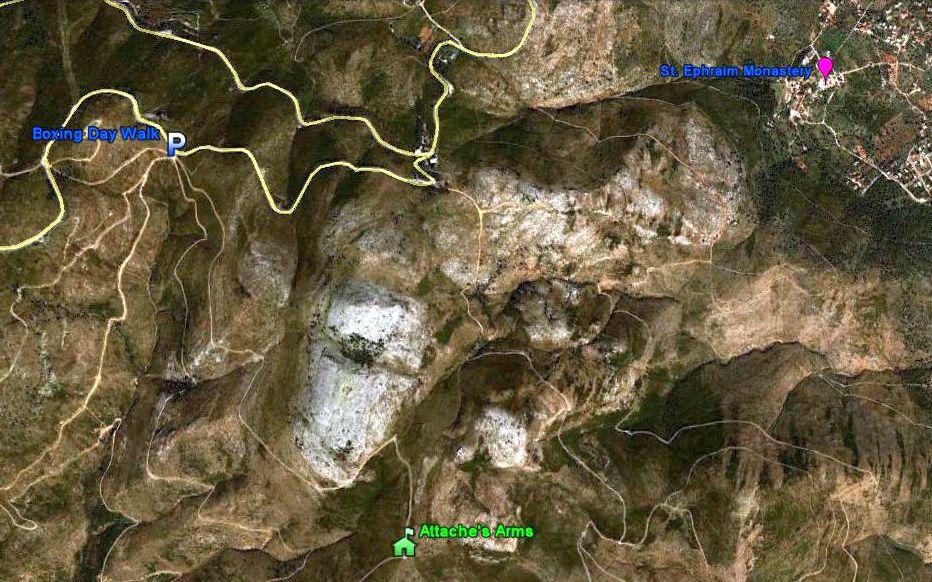
From 4.2 km up.
Location map is at the bottom of this page.
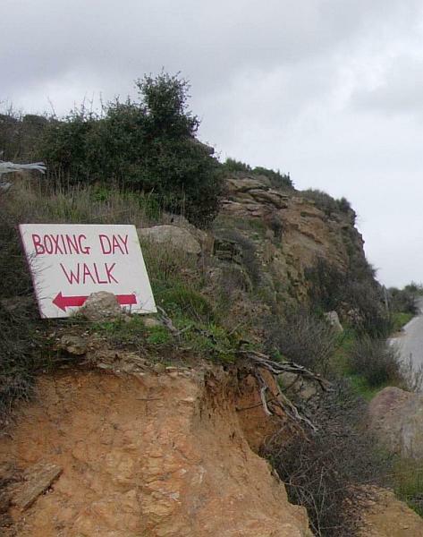
This way hashers!
Sign at the roadside.
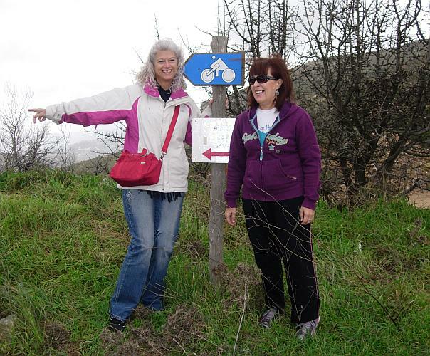
Clitoria & Doggie Style show the way
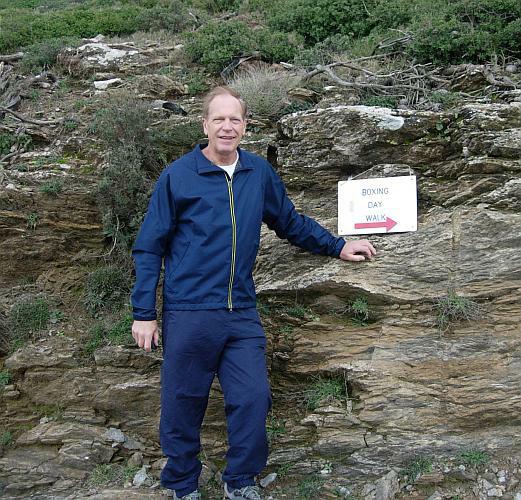
Mad Dog helps too
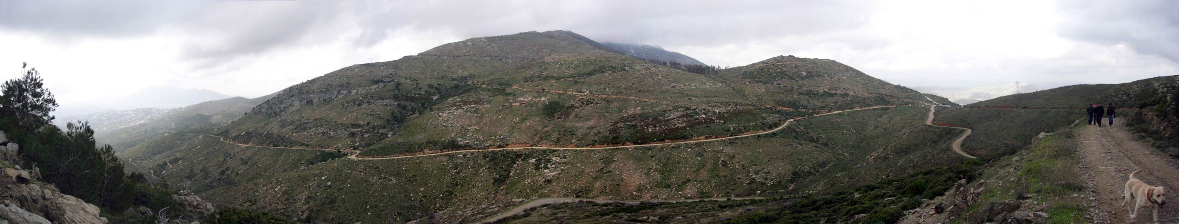
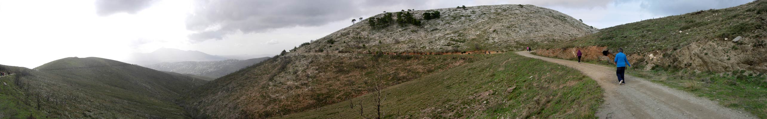
>>>>>>>>>>>>>>>>>> Panoramic view along the path >>>>>
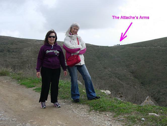
The booze-stop finally comes into view.
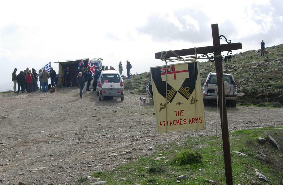
The highest pub in Athens (but for just 1 day a year)
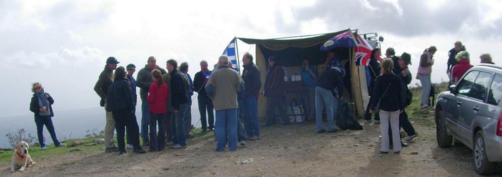
Sign the book, pop a donation in the box & head for the tent...
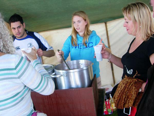
Choice of Rum punch (strong) or Mulled Wine (the tastiest)
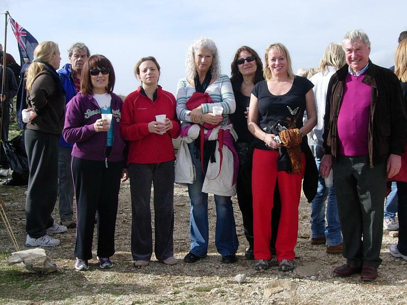
Hasher's group photo:
L-to-R: Doggie Style, Stress Cow, Clitoria, Bouboulina, Coke Dealer & Dad
Also present: Mad Dog (camera) + Major Arsehole & Gunga Din
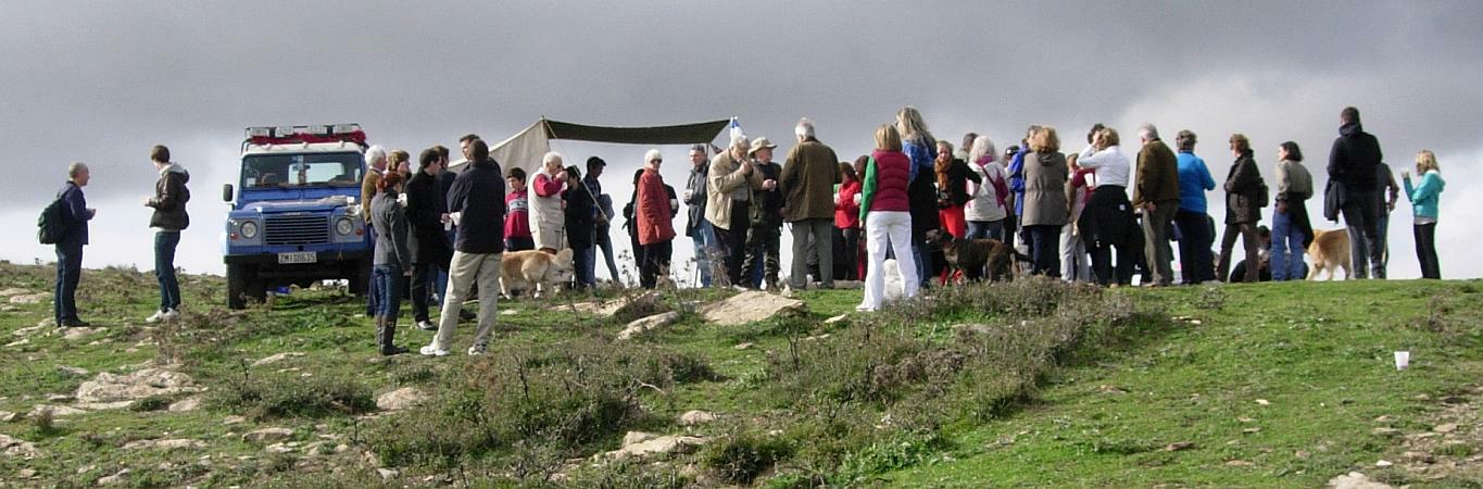
>>>>>>>>>>>>>>> Panoramic view of the walkers - many more had now arrived >>>>>>>>>

Mad Dog & Doggie Style - with the coast in the background
>>>>>>>>>>>>>>>>>>>>>> Panoramic view from the hill overlooking the Attache's Arms >>>>>>>>>>
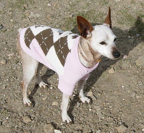
Cute doggie
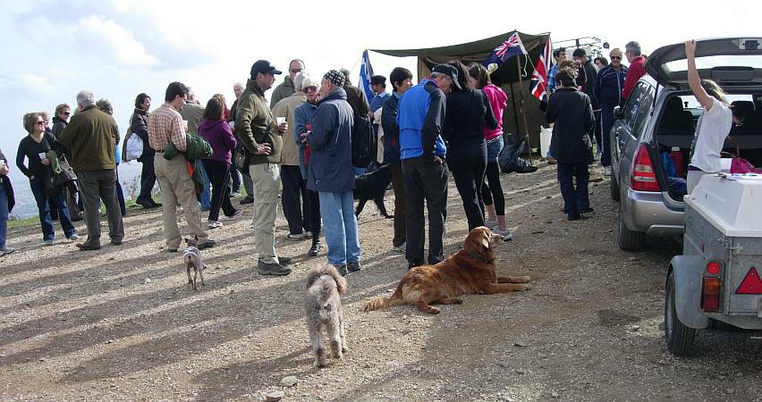
There were almost more dogs than walkers!
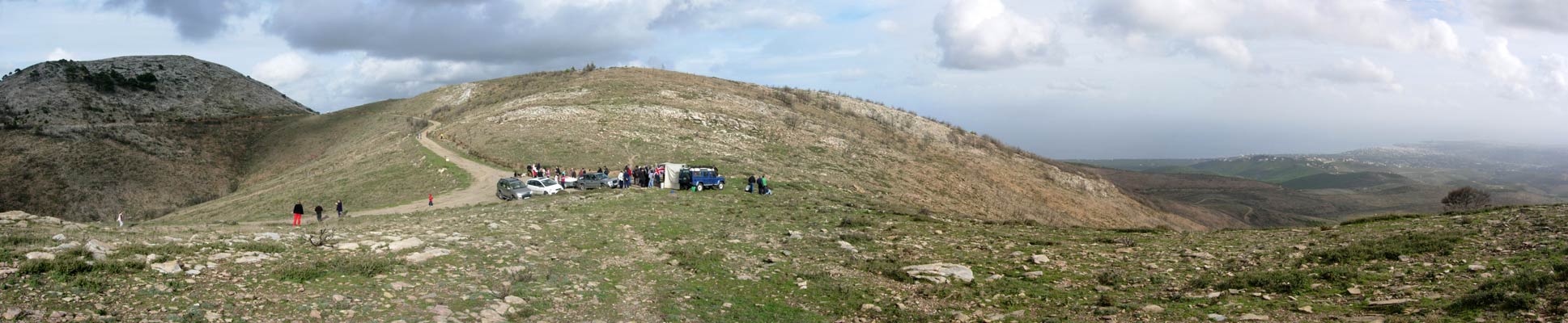
>>>>>>>>>>>>>>>>>>>>>>>>>>>>>>>> Panoramic view on the return walk >>>>>>>>>>>>
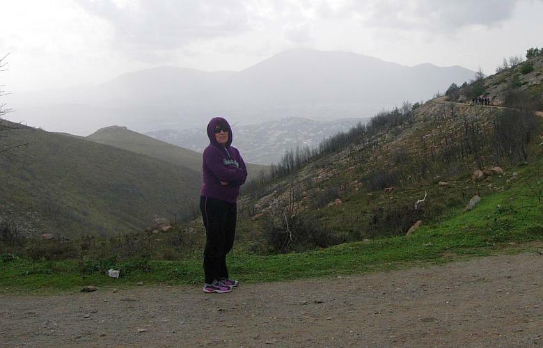
About half way back

Location map
|
NOTES To
send the photo by e-mail as an attachment: MD Feb. 2006 |
Please use your "Back" Button (Top Left) to return to the previous page