KAREAS
Sunday 3rd October 2010 - Run 1714
The starting point
& circle (P):
Latitude 37°56'31.96" North
Longitude 23°46'39.60"E East
Altitude: 372 metres above sea level
Trail
cartographic Length = 5.4 km
Highest point on trail: 475 m
Lowest point on trail: 285 m
Photos by: Mad Dog
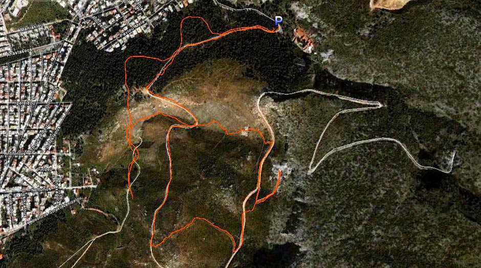
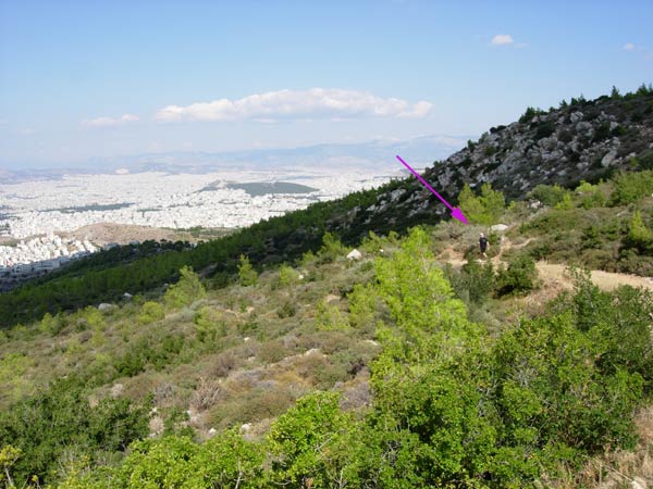
Bird's eye view of the trail
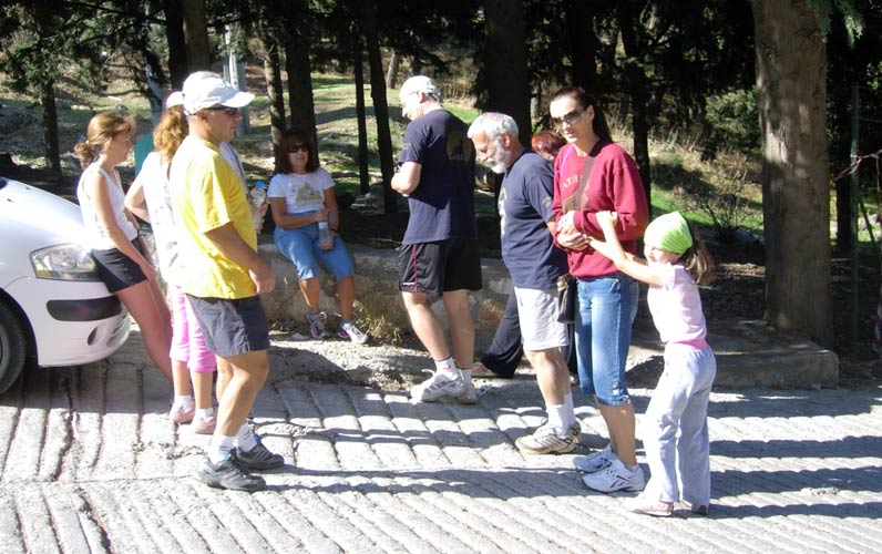
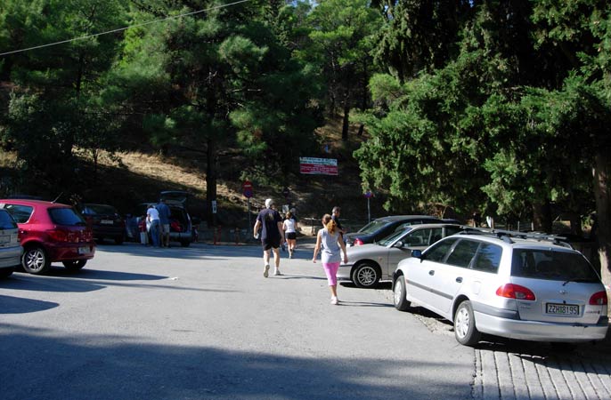
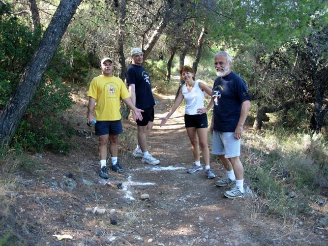
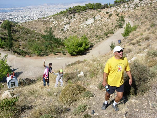
Before the run & walk
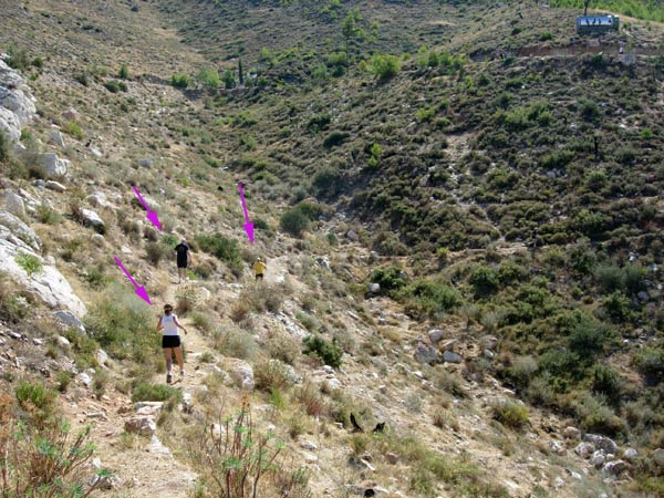
Stress Cow follows the runners as they start the trail
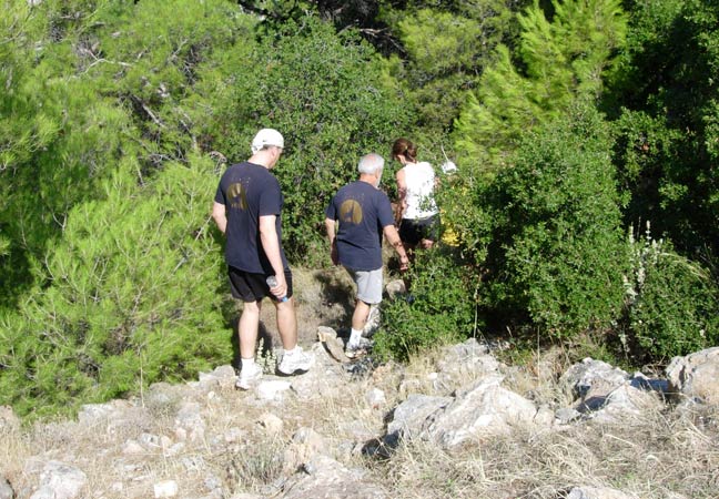
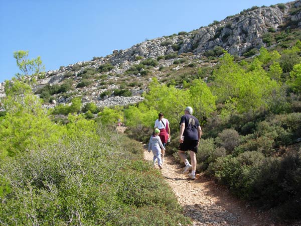
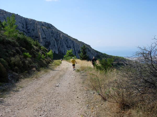
Down into the woods
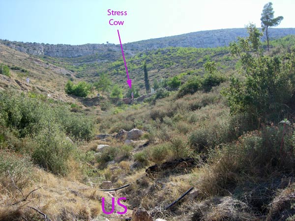
Stress Cow the hare
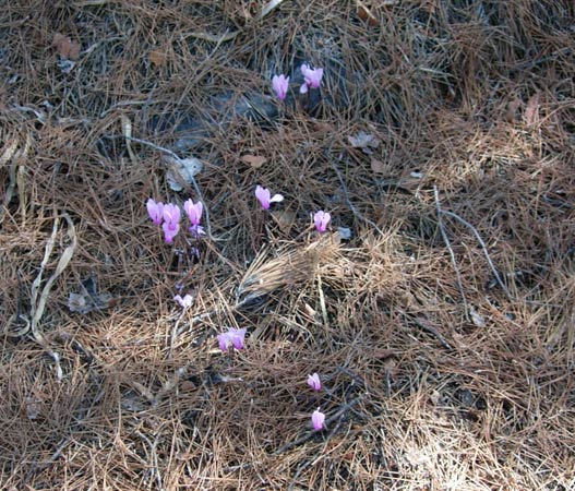
Spring flowers in the Autumn ?
A giant falsie "F". No wonder the hare used 5 bags of flour.
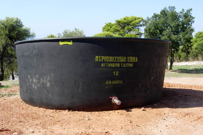
Anyone thirsty? 40,000 litres of water!
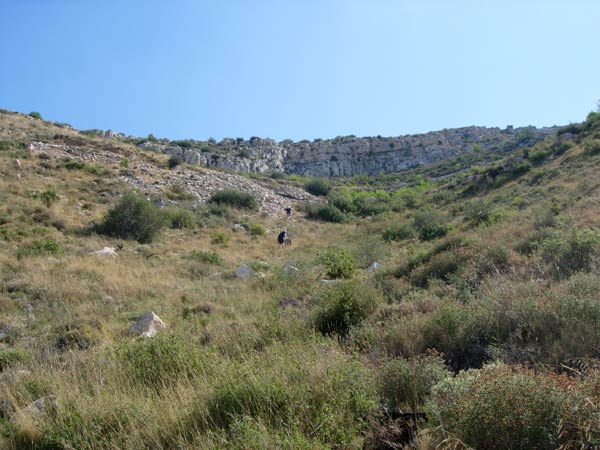
On Down!
On Up!
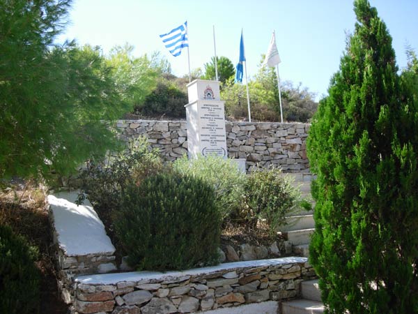
Memorial to brave firemen who died fighting the forest fire
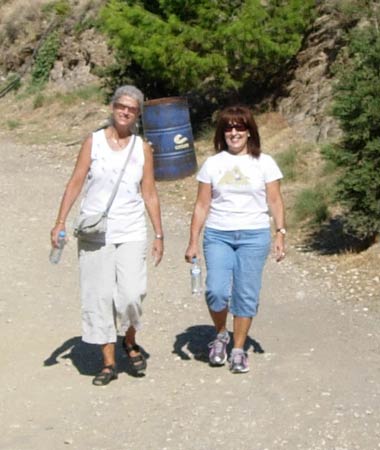
Walkers Clitoria & Doggie Style
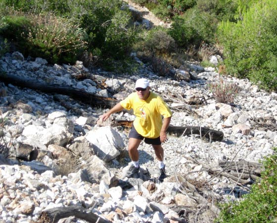
This looks a bit steep thinks Rear Entry
And it is!
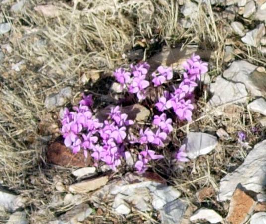
More flowers somehow surviving on the dry mountainside
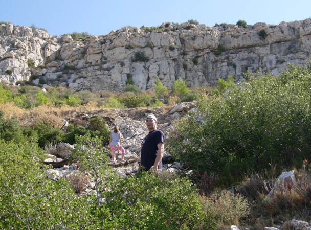
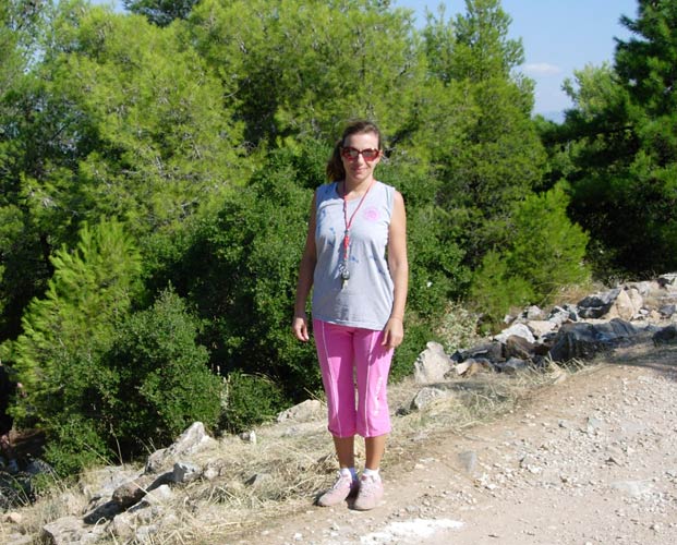
Getting nearer the summit. Fair Cop poses.
Rear Entry following on behind
Spy Shagger with little Sophia
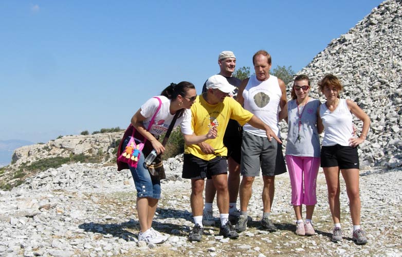
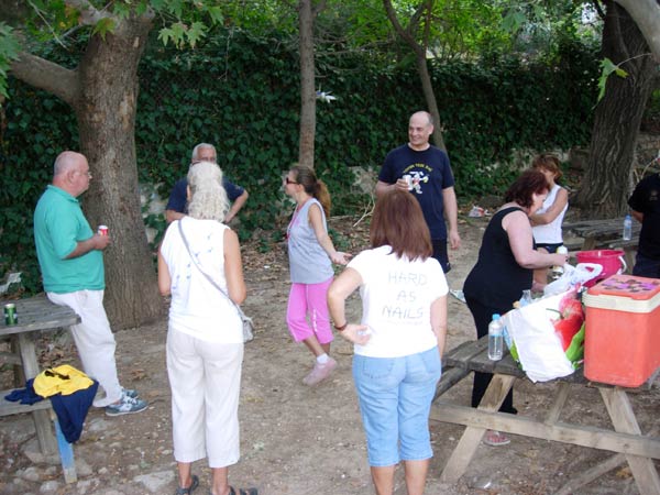
Flat ground at last. Hashers take a breather.
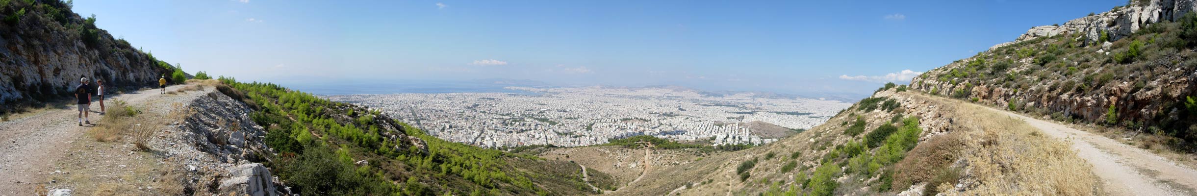
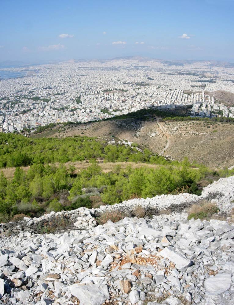
>>>>>>>>>>>>>>>>>>>>>>>>>>>>>>>>>>>>>>>>>> Spectacular Panoramic View _ Can you spot the Acropolis?

Blow-Up: The new Acropolis Museum & the Acropolis - Parthanon behind it.
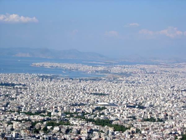
Great views!
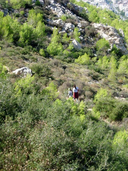
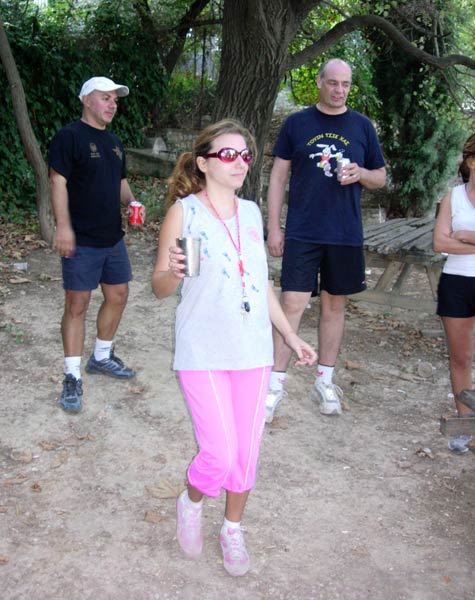
Up we go. Little Sophia is doing really well.
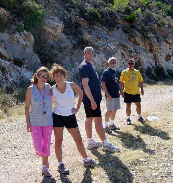
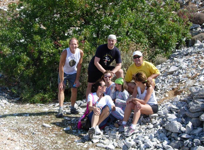
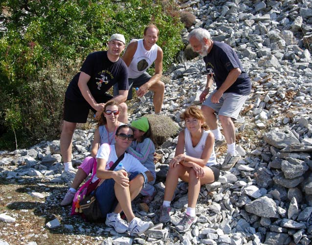
Group photo
We join Sophia who is rather shy of the camera
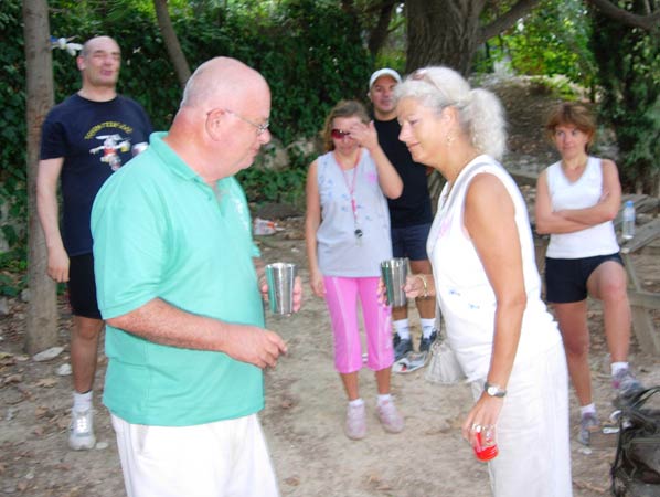
More posing
Another view
On On!
Fair Cop charges down the path
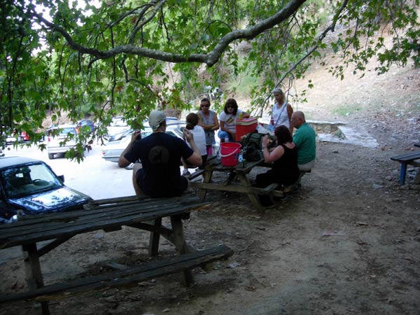
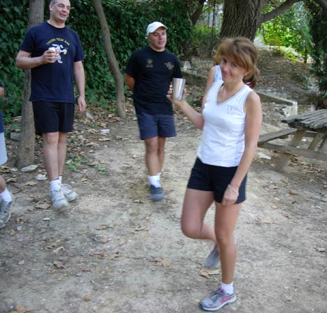
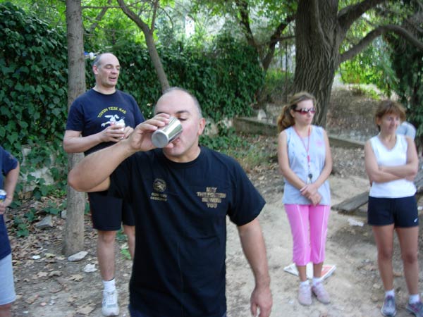
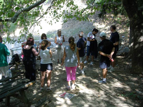
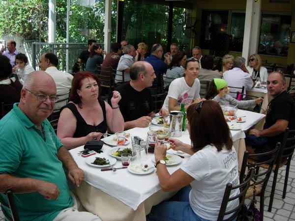
The hashers take a well-deserved rest (and beers) after the run & walk
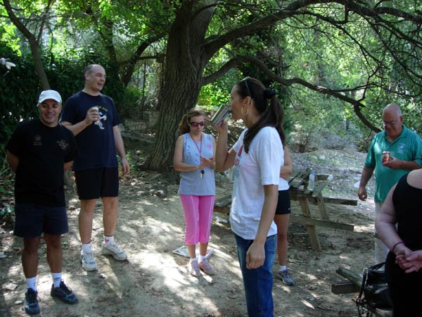
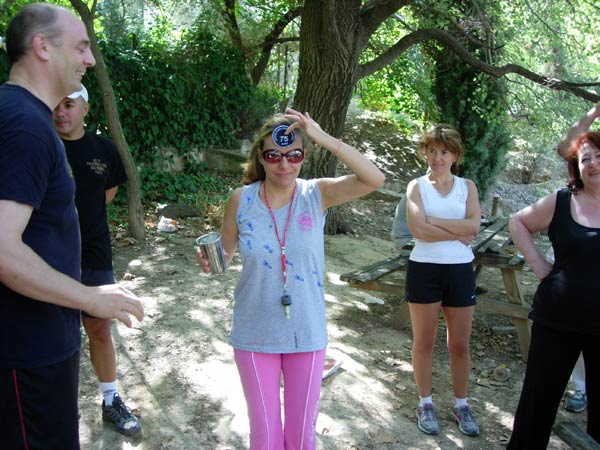
The Circle
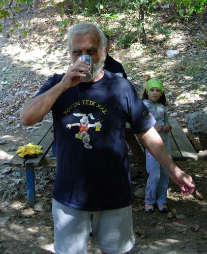
The hare's DIO
Hamish & Clitoria
Born Free
Rear Entry
Spy Shagger
Stress Cow's 75 run badge & DIO
View of the circle
Mountain Goat
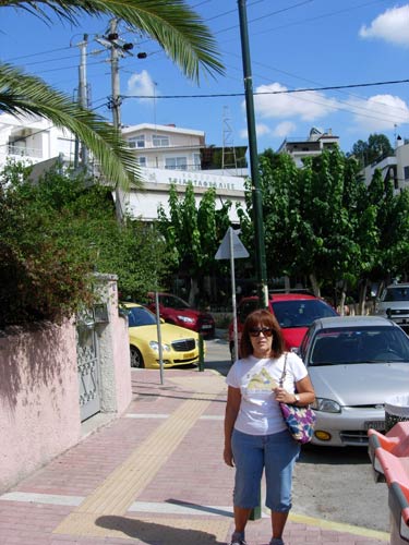
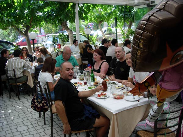
Doggie Style outside the Taverna in Kareas
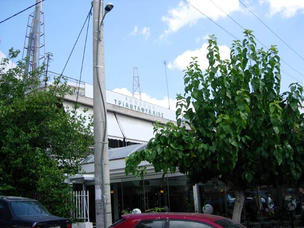
The Taverna - The TRIADAFILLIES
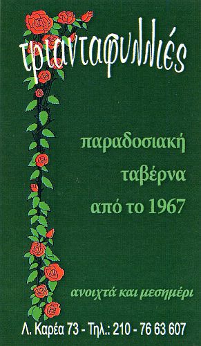
Taverna card
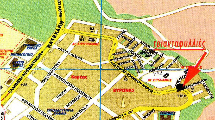
Taverna card - location map
|
NOTES To
send the photo by e-mail as an attachment: MD Feb. 2006 |
Please use your "Back" Button (Top Left) to return to the previous page