Run 1700 (Monday 28th June 2010)
Hare: P. Shooter
Photographer: Mad Dog
NOTE: Use the horizontal scroll bar (bottom of screen) to view the panoramic photos.
- T H E T R A I L -
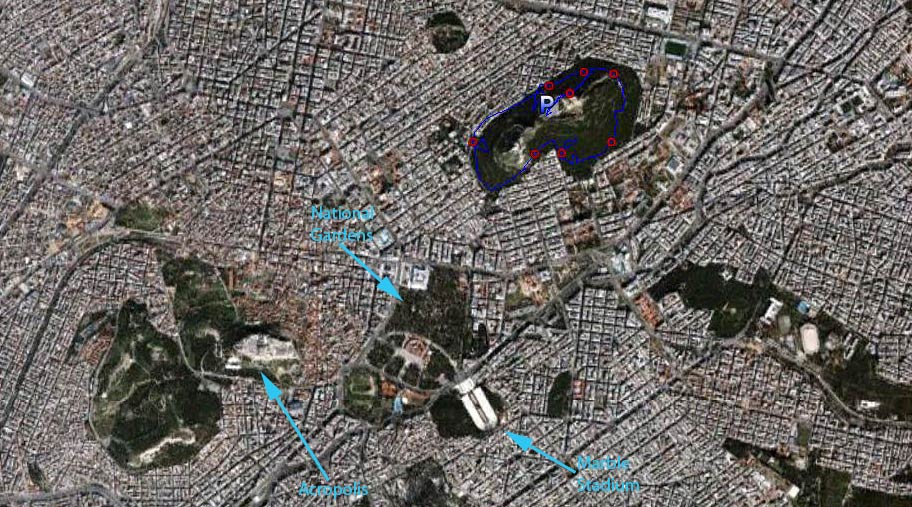
The lat/lon coordinates of the starting point
& circle: 37°59'0.89"N, 23°44'43.79"E
Altitude: 227 metres above sea level
Trail
cartographic Length = 4.6 km
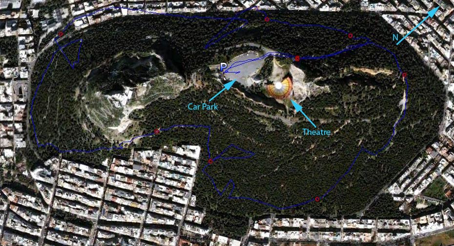
The trail - up and down around the hill

Altitude variation along the trail
The trail from 5.3 km up
- T H E R U N -
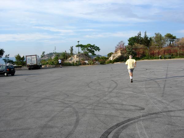
>>>>>>>>>>>>>>>>>>>>>>>>>>>>>>>>>>> Panoramic view from the car park & start of the trail
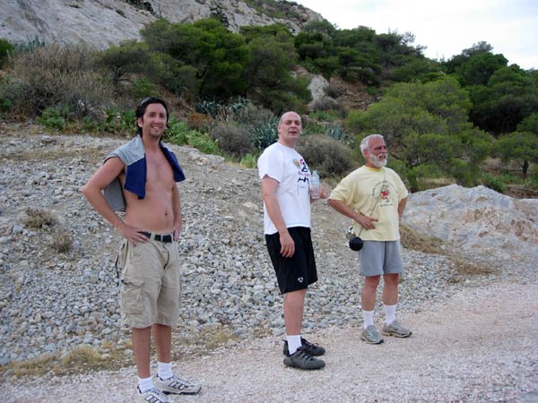
The runners are off - led by Mountain Goat
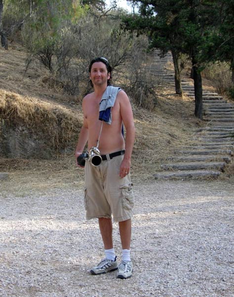
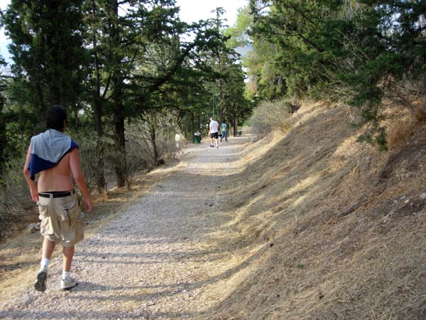
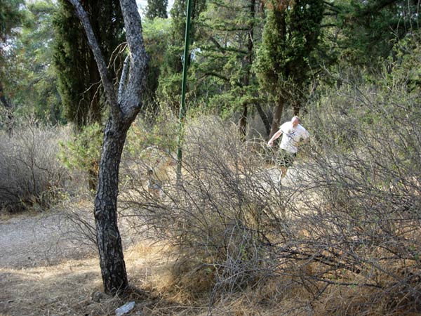
Fair Cop charges into the bushes
Our hare - P. Shooter - with the hash horn
On On! Fair Cop
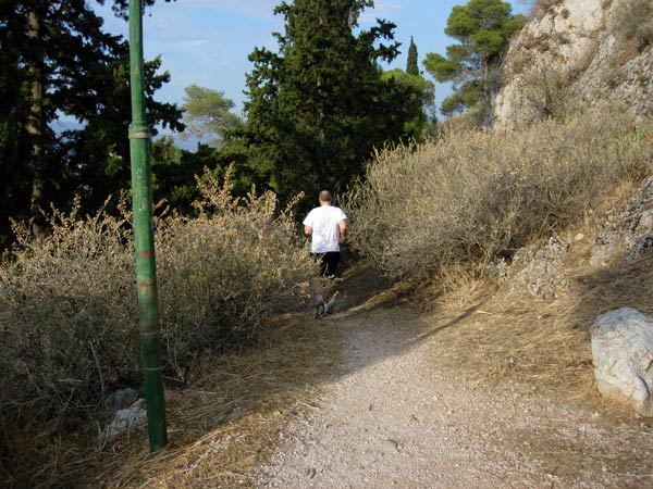
P. Shooter keeps an eye on the runners
Fair Cop comes hurtling round the corner
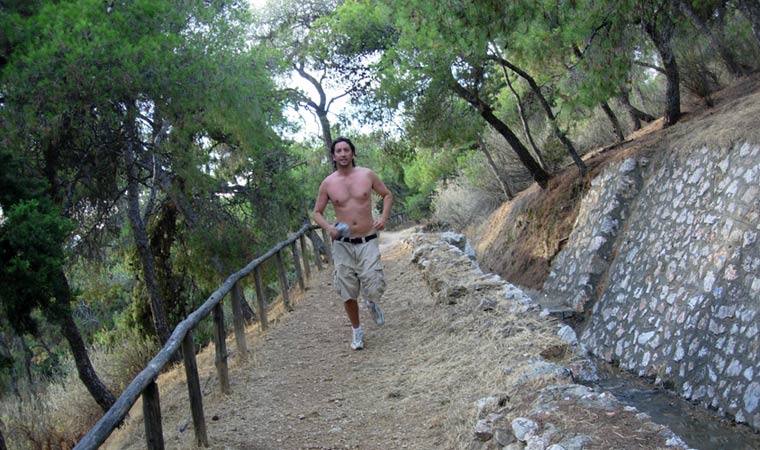
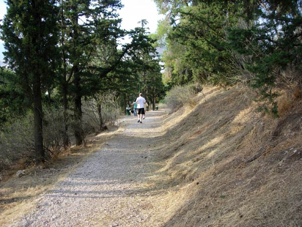
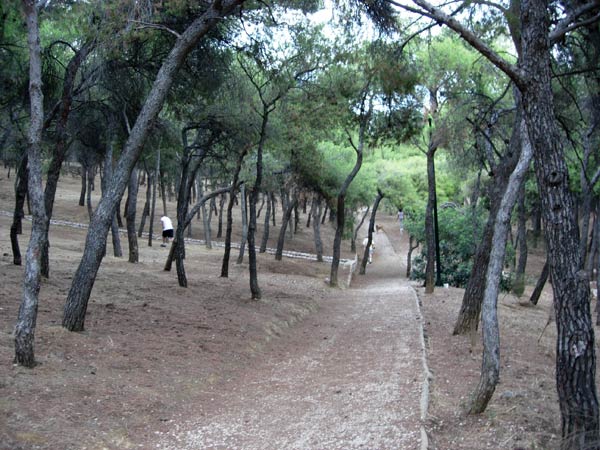
running along the lower section of the hill
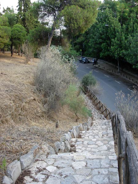
Mad Dog checks down the steps to the road - No flour there!
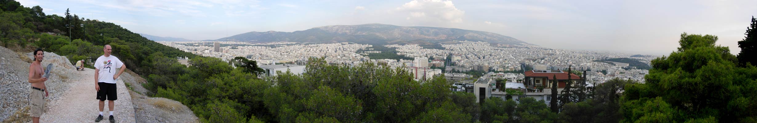
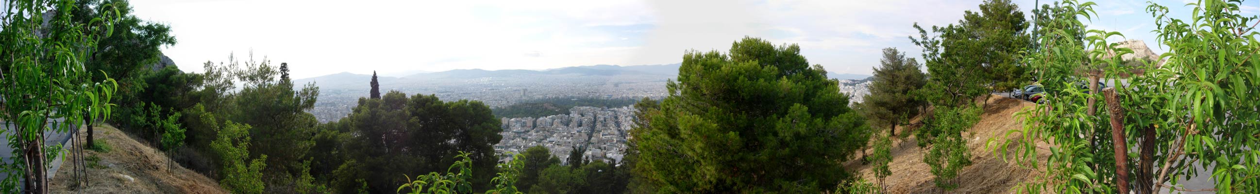
>>>>>>>>>>>>>>>>>>>>>>>>>>>>>>>>>>>>>>>>>>>>>>>>> Panoramic view from higher up on the hill
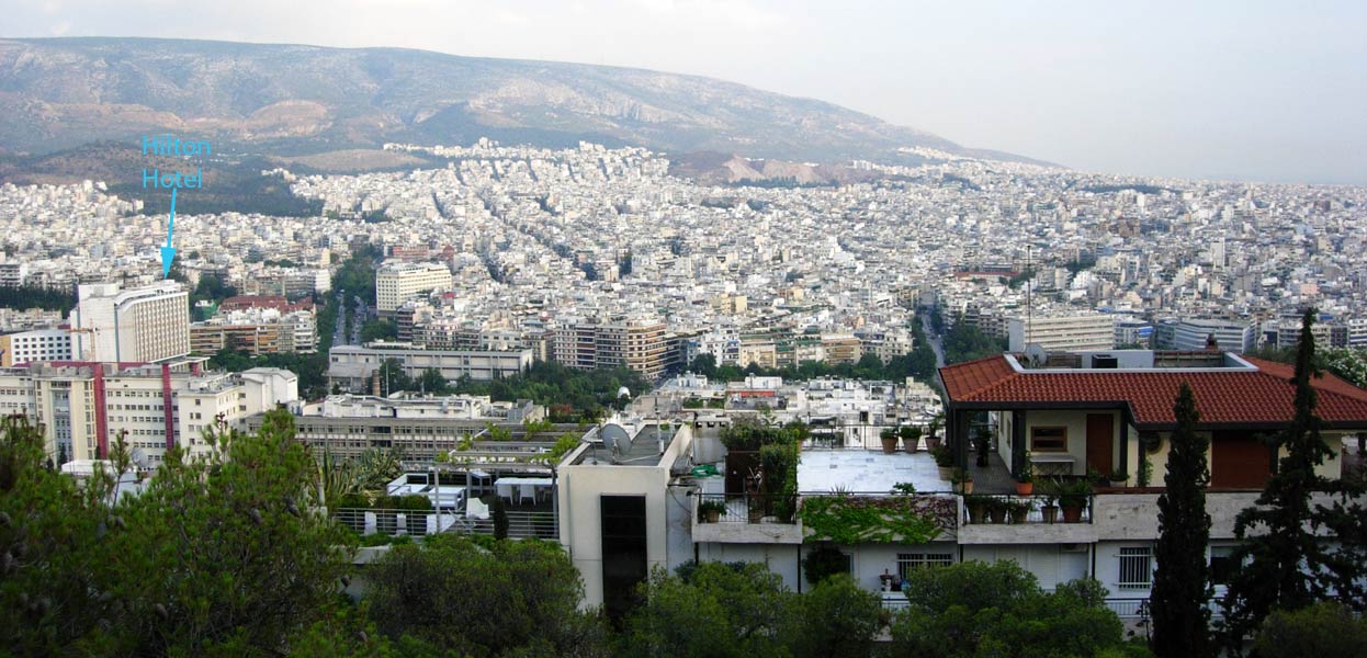
View of the city
The runners take a quick break (the air is humid after the heavy rains)
Fair Cop checks up through the woods
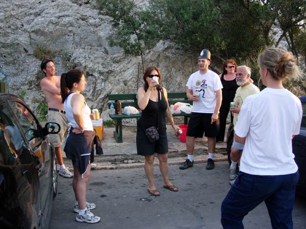
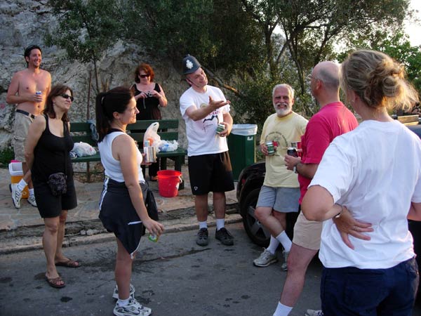
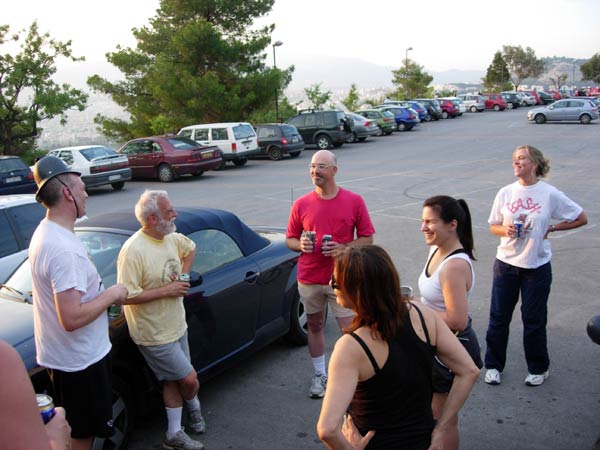
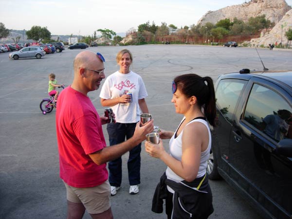
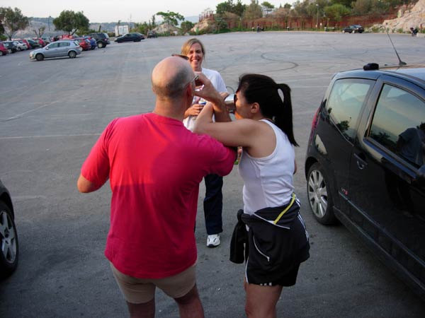
- T H E C I R C L E -
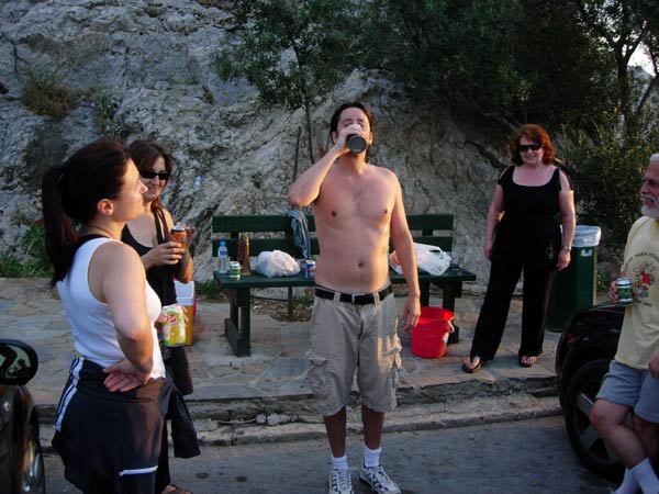
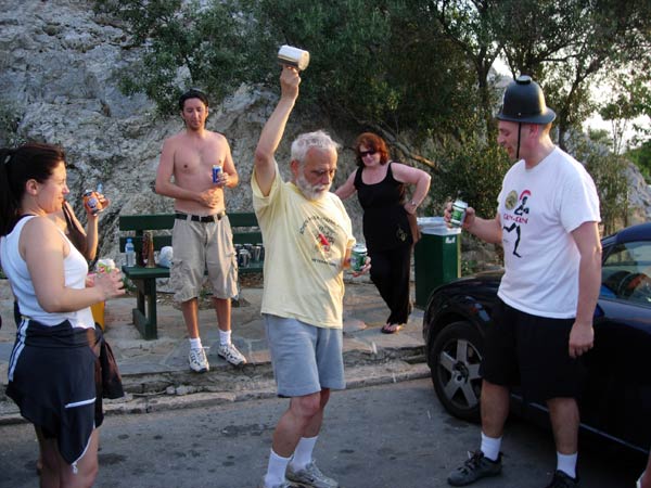
The hare's down down
Mountain Goat
Bouboulina - latecomer
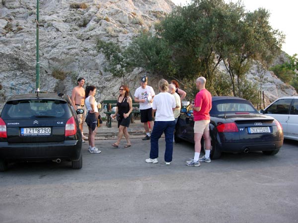
The circle in the car park
Visitors from the USA
Questions 1,2,3 and even 4 (and well answered too)
Awarded visitor's badges and a DIO
Good sports!!
- T H E T A V E R N A -
The Panormou Taverna
(On Panormou St. - a couple of hundred metres north from Alexandras Ave. - on the right. Outside under a tent)
Formal address: Platia Ag, Dimitriou 1 - Abelokipon
Tel: 210-640-0004
Souvalki type meal with tzaziki and lots of pork & chicken + drinks for 11 euro each.
|
NOTES To
send the photo by e-mail as an attachment: MD Feb. 2006 |
Please use your "Back" Button (Top Left) to return to the previous page