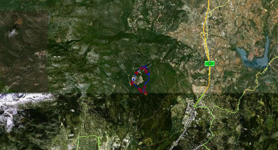
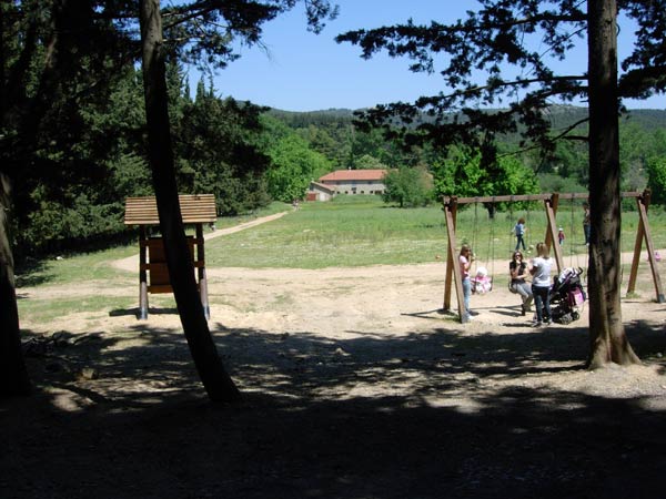
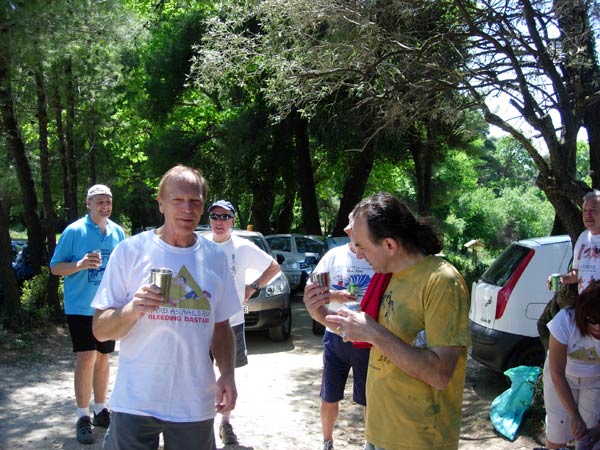
Varibobi
(North-Western Athens)
Run
1691 (Sunday 2nd May 2010)
Hare: Mountain Goat
Photographer: Mad Dog
NOTE:
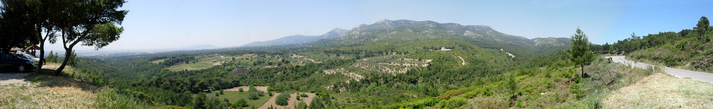
Use the horizontal scroll bar (bottom of screen) to view the panoramic photos.
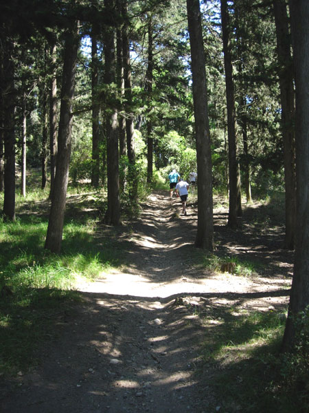
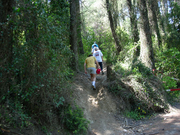
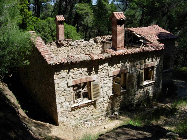
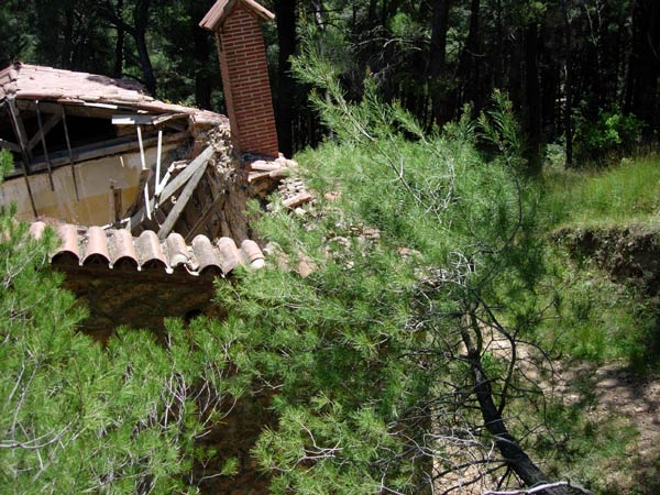
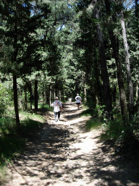
- T
H E T R A I L -
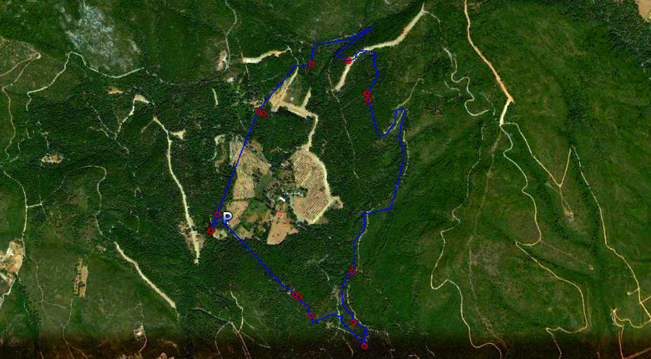
The lat/lon coordinates of the starting point
& circle: 38 09' 19.38'', 23 47' 30.43''
Altitude: 440 metres above sea level
Trail
cartographic Length = 8 km
The trail from 4.5 km up
The trail from 19.5 km up
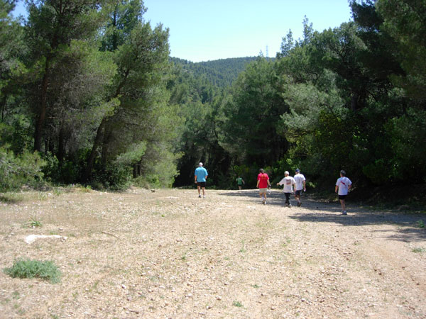
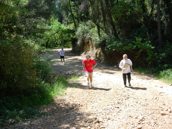
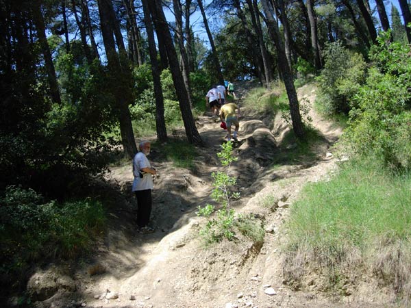
- T
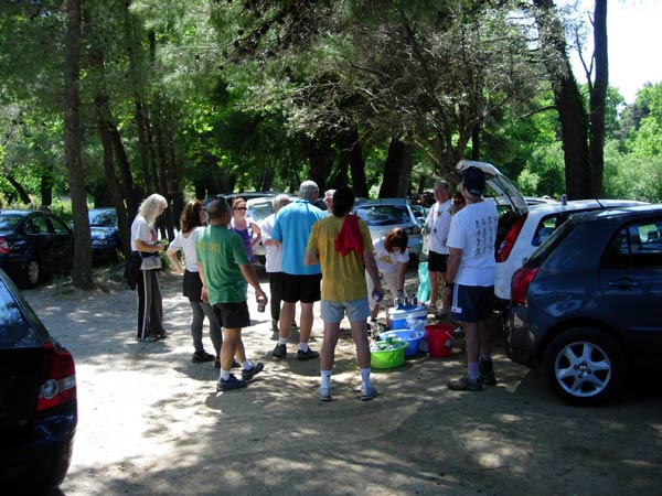
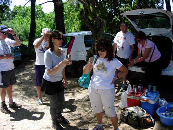
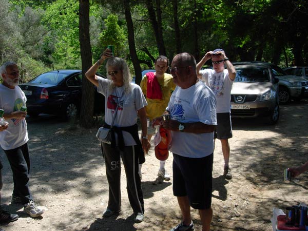
H E R U N -


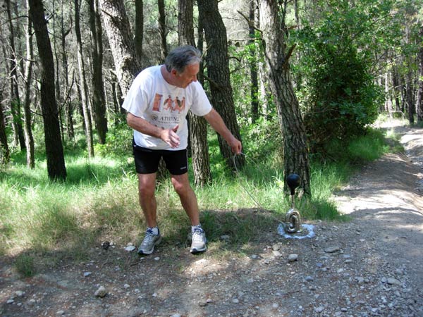
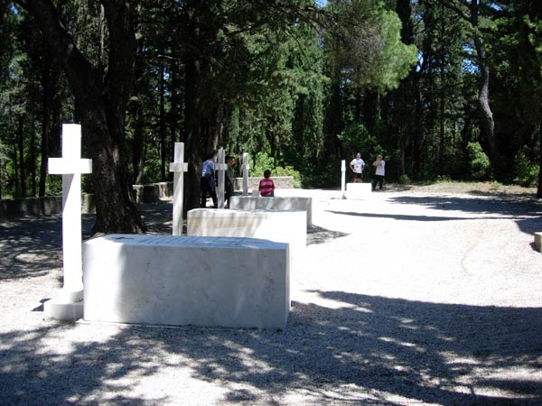

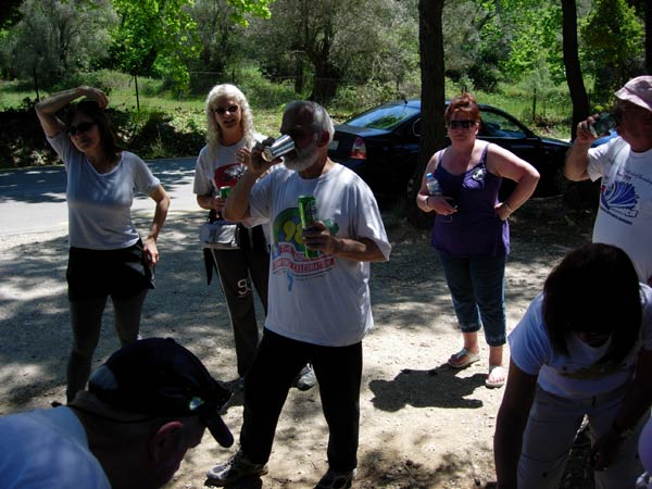
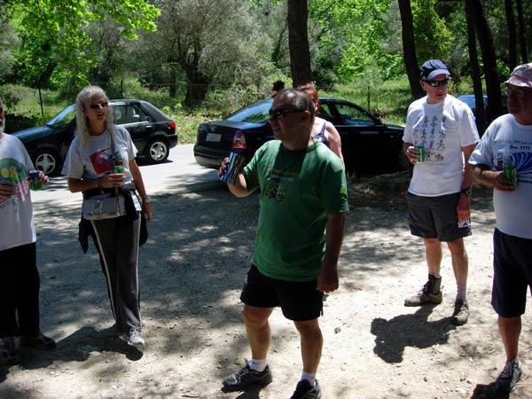
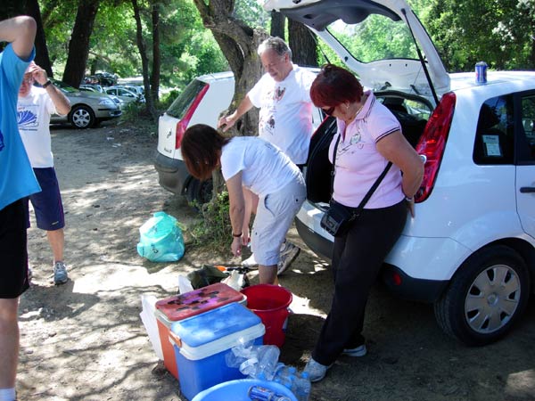
- T
H E C I R C L E -

|
NOTES
To save a photo to your disk drive:
- Internet Explorer - Netscape Navigator - Opera
-
(1) Right-click your mouse on the photo
(2) A menu appears
(3) Click on "Save Picture As" (or
"Save Image")
(4) Pull-down the "Save In" menu (click the down-arrow)
(5) Double-click on a disk drive letter (to choose a drive)
(6) Double click on a directory icon (if applicable)
(7) Type in a File name of your choice for the picture
(8) Click Save
To
send the photo by e-mail as an attachment:
- Outlook Express -
(1)
Click the "Create Mail" button to start a new e-mail
(2) Click Insert > File Attachment
(3) Pull-down the "Look In" menu (click the down arrow)
(4) Double-click on a disk drive letter (to choose the drive)
(5) Double click on a directory icon (if applicable)
(6) Click on the photo file name to highlight it
(7) Click "Attach" to attach the photo to the e-mail
MD
Feb. 2006 |
Return
to Top
Please
use your "Back" Button (Top Left) to return to the previous page