Sounio
Temple of Poseidon
(South-East of Athens)
Run 1675 (Sunday 10th January 2010)
Hare: Prickly Bush
Photographer: Mad Dog
NOTE: Use the horizontal scroll bar (bottom of screen) to view the panoramic photos.
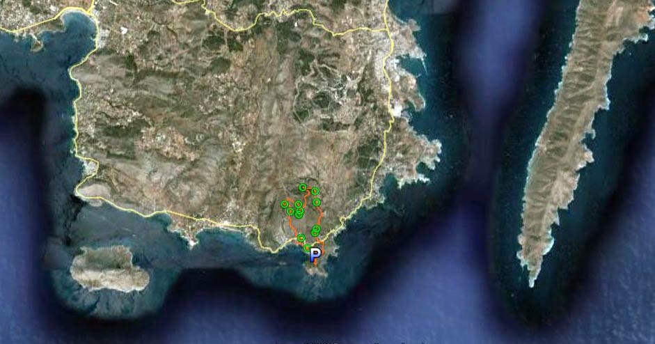
- T H E T R A I L -
The lat/lon coordinates of the starting point
& circle: 37°39'7.08"N, 24° 1'35.62"E
Altitude: 32 metres above sea level
Initial air temperature (19.00 hrs) = 16 deg.C
Trail cartographic Length = 9.1 km
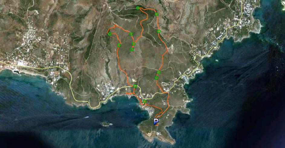
Trail from 5.7 km up
Trail from 20 km up
- T H E R U N -
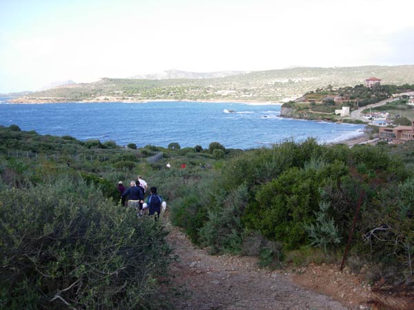
Heading down to the beach
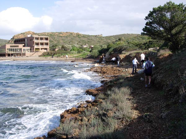
Trying to avoid the spray & waves
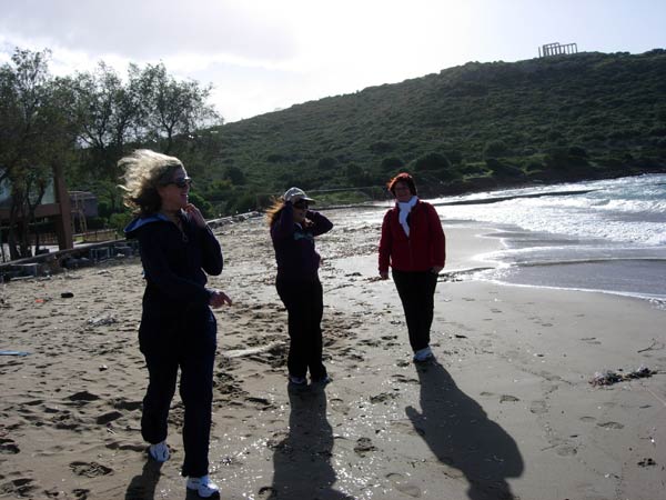
The walkers on the beach
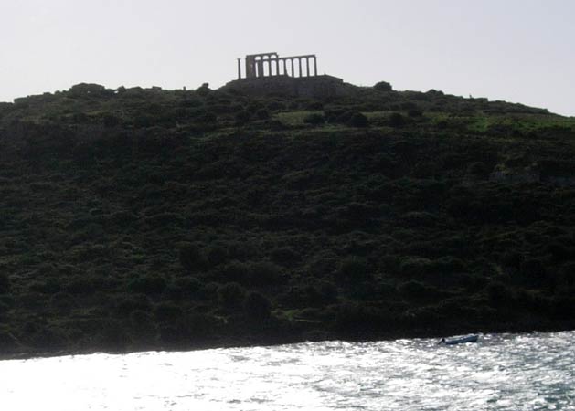
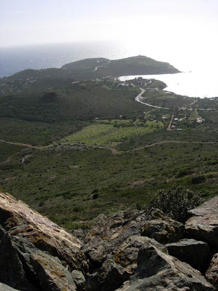
Looking back at the Temple of Poseidon
A Southerly wind brings in the waves
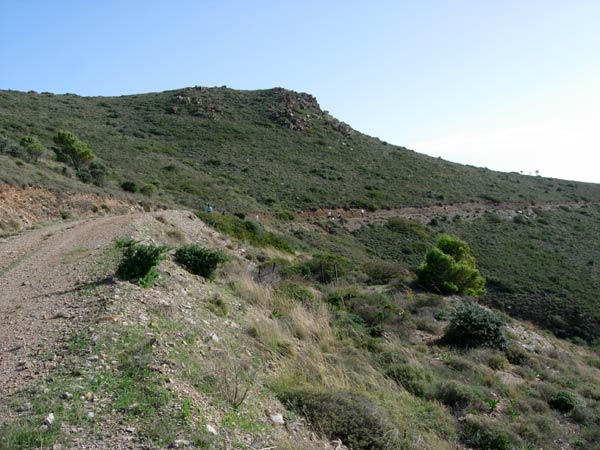
On Up into the rocky hills
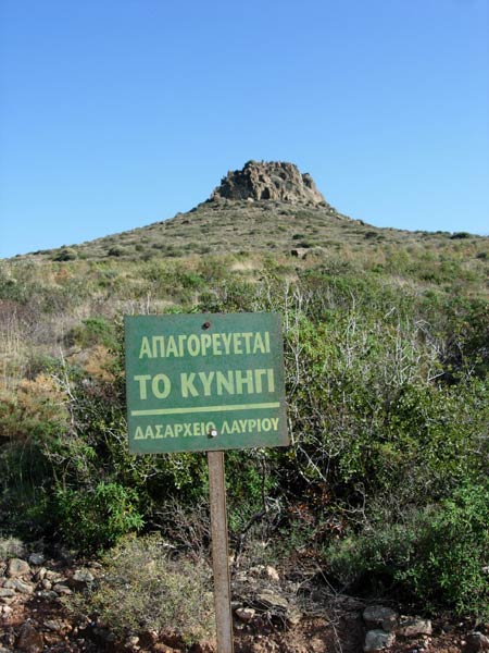
Hunting forbidden (Forestry Department of Lavrio)
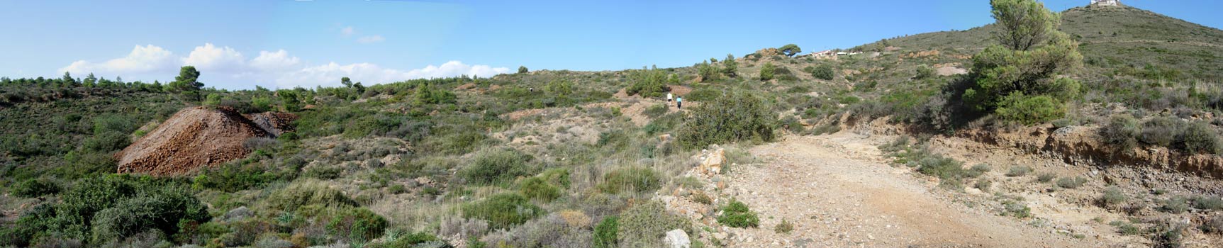
Panoramic view showing old mining discard heaps
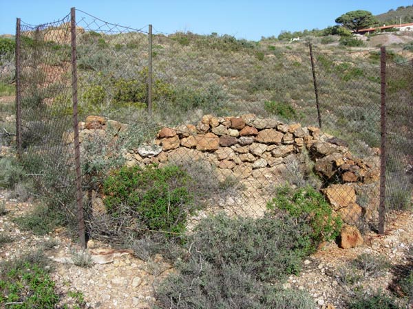
A vertical mine shaft fenced-off on the hillside
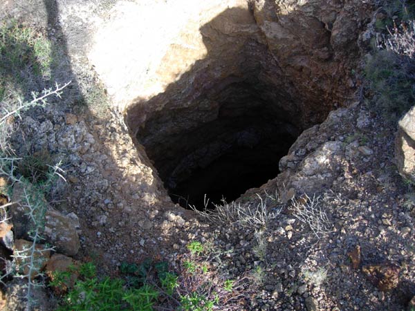
View down the mine shaft
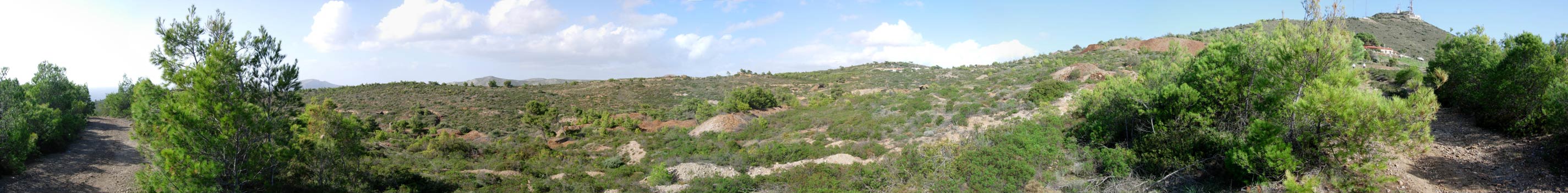
Panoramic view showing more past mining activity
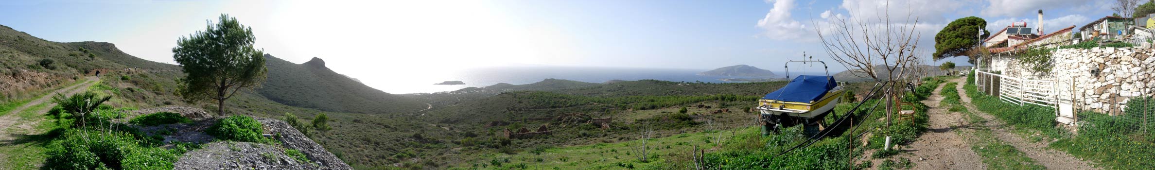
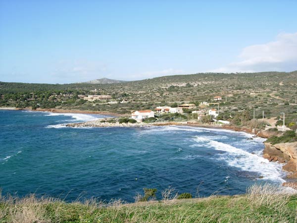
Another Panoramic view looking out to sea
OnOn!
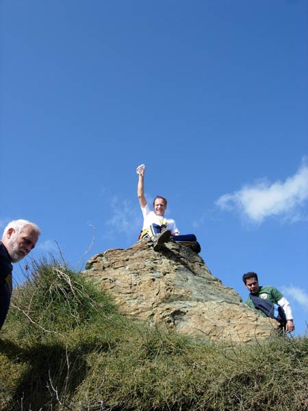
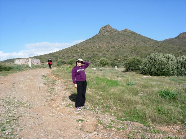
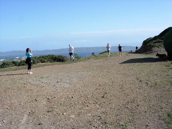
Enjoying the view from the peak of a hill
View from the peak
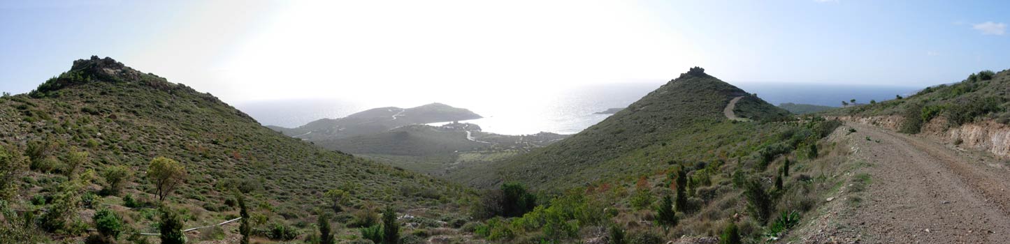
Beautiful Panoramic view looking out to sea and towards the Temple of Poseidon
Coming round the mountain
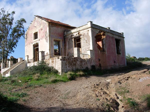
Old mine manager's building
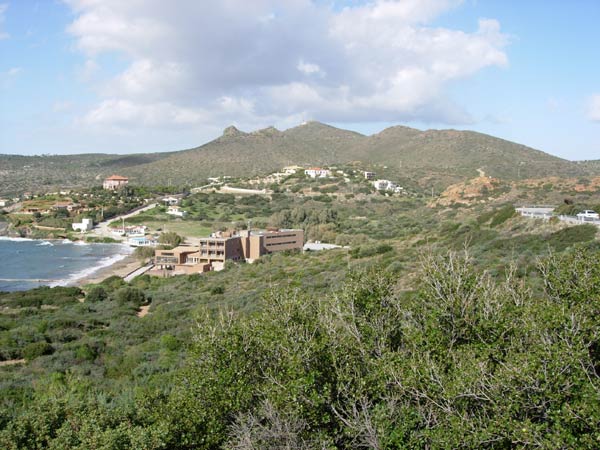
The hotel & beach below the Temple
- T H E T A V E R N A -
Location: 37°40'13.80"N, 24° 2'35.91"E
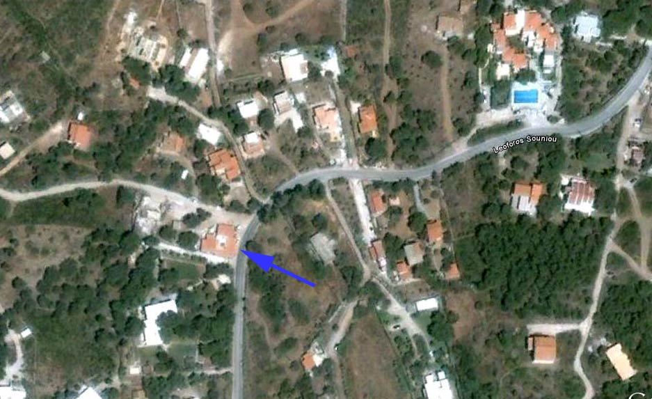
The Taverna location
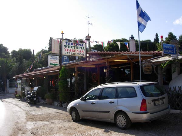
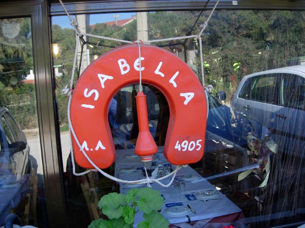
The Isabella Taverna (about 3 km from the Temple towards Lavrio)
Outside the Taverna
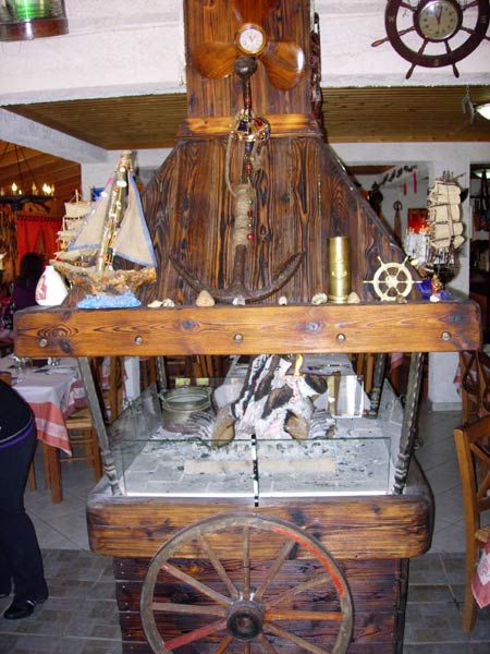
The fireplace
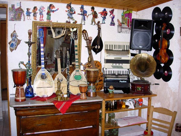
Music instrument collection
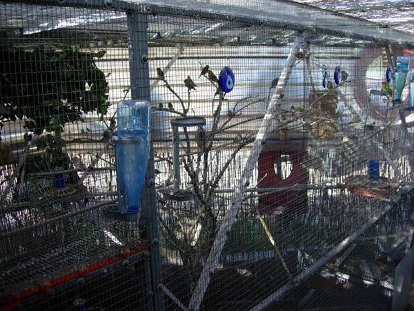
Aviary with singing birds
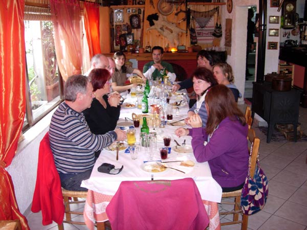
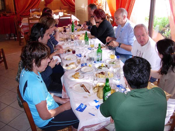
The hashers after eating their meal
Note the ornate fireplace.
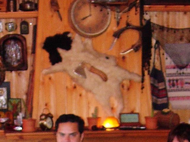
Note the strange knife collection. Is that a dog skin?
Almost finished. Then came the Youghurt with quince and grape preserves
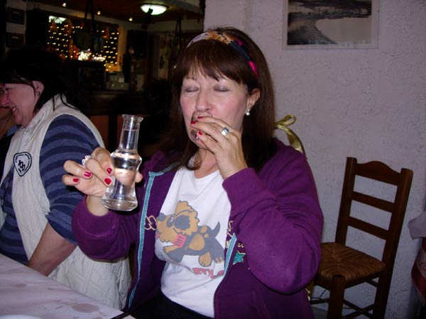
Doggie Style samples the taverna's Tsipoura
(a strong spirit made from distilling fermented grape skins)
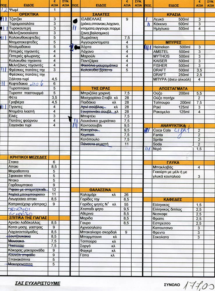
The Isabella menu and our order
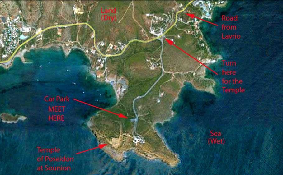
DIRECTIONS TO THE RUN
|
NOTES To
send the photo by e-mail as an attachment: MD Feb. 2006 |
Please use your "Back" Button (Top Left) to return to the previous page