Varibobi
(North-Western Athens)
Run 1665 (Sunday 1st November 2009)
Hare: Mountain Goat
Photographer: Mad Dog
- T H E T R A I L -
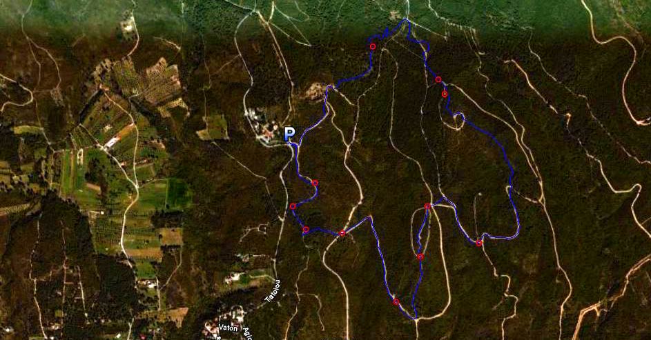
The lat/lon coordinates of the starting point
& circle: 38° 8'38.22"N, 23°47'37.73"E
Altitude: 416 metres above sea level
Trail cartographic Length = 5.5 km
The trail from 3.4 kilometres up
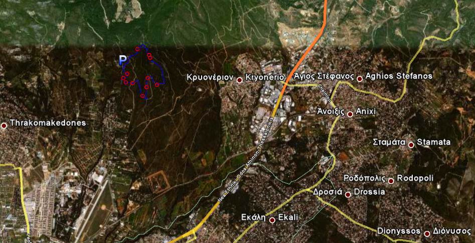
The trail from 12.3 kilometres up
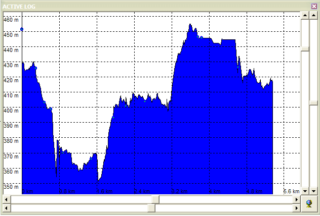
Altitude profile of the trail
- T H E R U N -
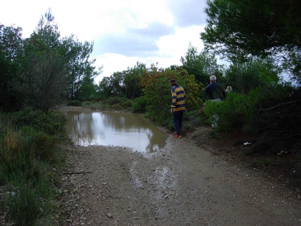
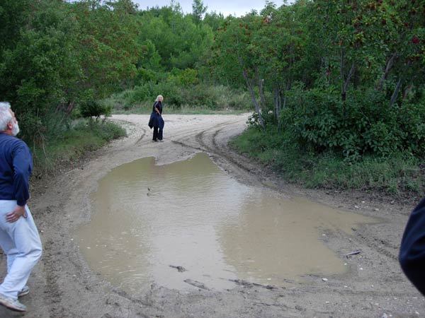
Avoiding the puddle (it rained heavily the previous night)
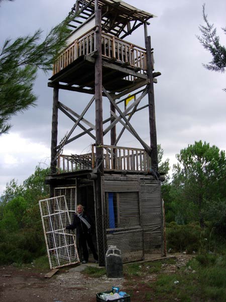
Fire watch tower (modified)
Coke Dealer poses in the doorway
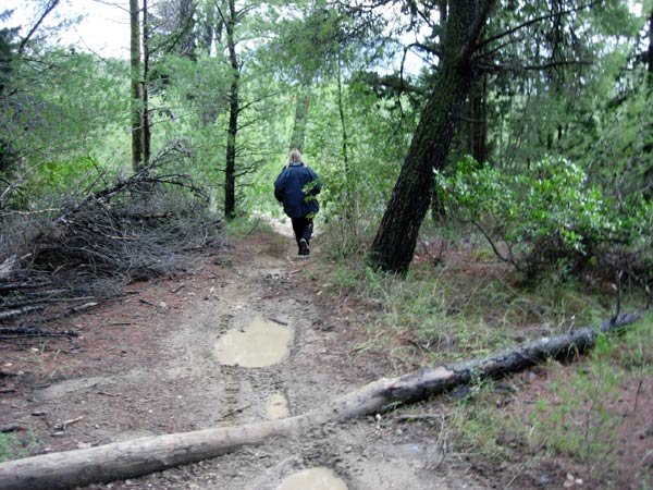
Muddy trail
Checking!
The returns hare from sweeping for any lost hashers
Numbnuts (Strawberry4Skin's son) visiting from the UK
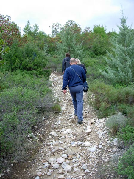
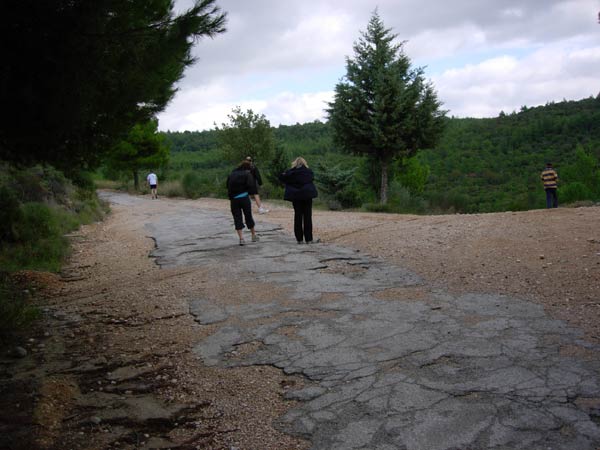
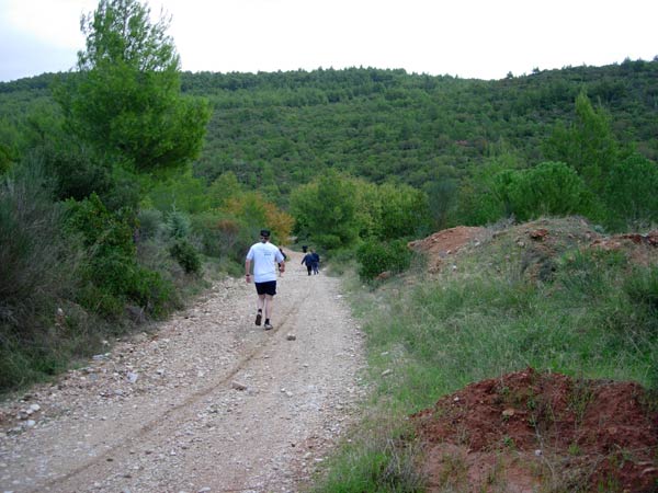
Stony pathway
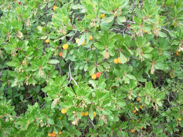
Edible fruit
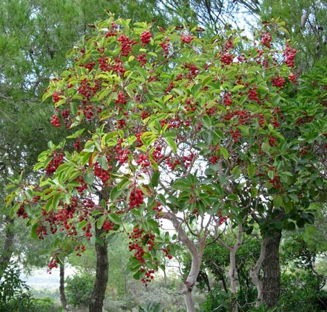
Wild cranberries
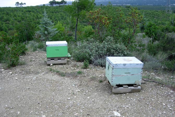
Bee hazard
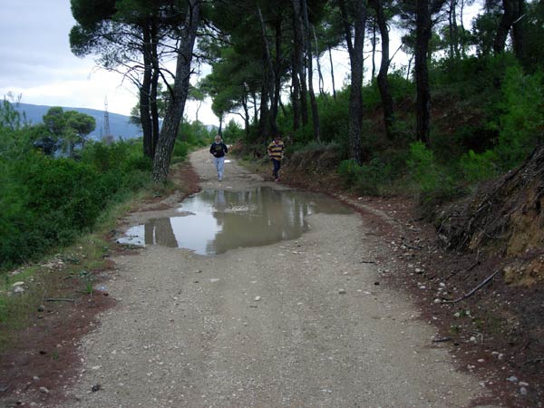
Large puddle where Mountain Goat soaked himself when tossing-in a large stone.
OnOn!
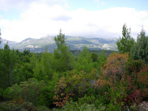
Scenic view of Mount Parnitha
More large puddles
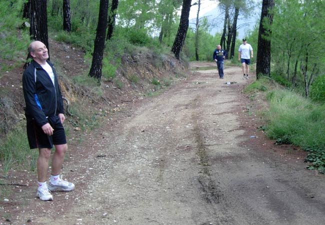
RA Fair Cop smiles for the camera
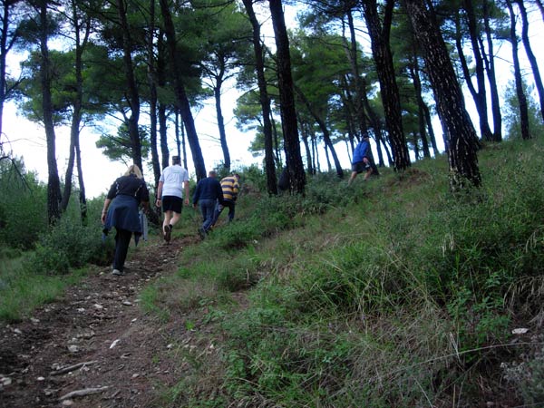
On UP!
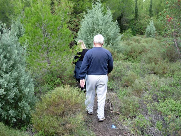
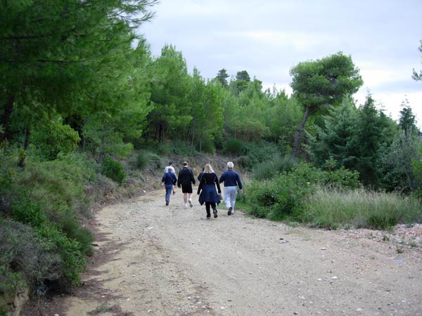
The trail leads into the bushes
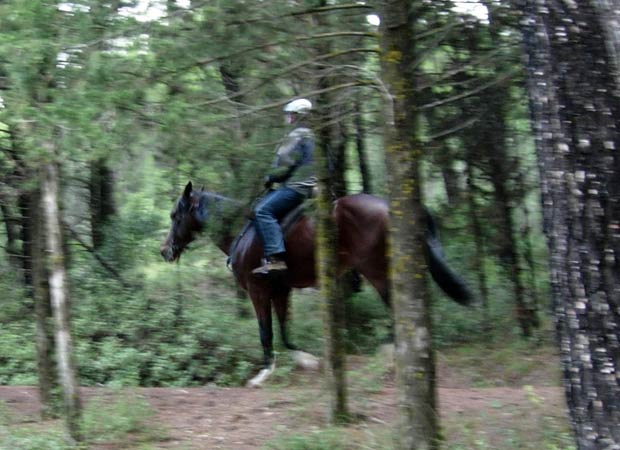
Equestrian enjoying the woods

The On In
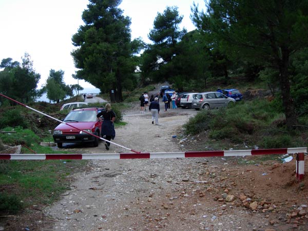
Back to the cars
- T H E C I R C L E -
Coming soon
- T H E T A V E R N A -
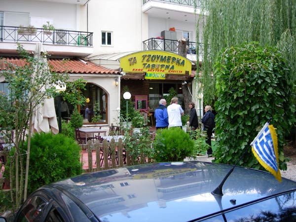
Ta Tzoumerka (The first taverna on the way back - next to a church).
They served us starters + Kokoretsi, Konvosouvli & Papaia (duck) for Euro 14 per head
|
NOTES To
send the photo by e-mail as an attachment: MD Feb. 2006 |
Please use your "Back" Button (Top Left) to return to the previous page