Nea Makri
(Northern Athens)
The Monastery of St Ephraim
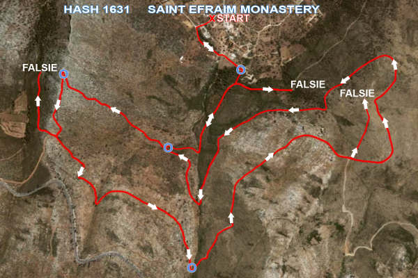
Run 1631 (Sunday 22nd March 2009)
Hare: Prickly Bush
Photographer: Prickly Bush
- T H E T R A I L -
The starting point
& circle (P):
Lat/Lon: 38° 4'25.54"N, 23°57'16.99"E
Altitude: 129 metres above sea level
Trail cartographic Length = 10.4 km (including all falsies)
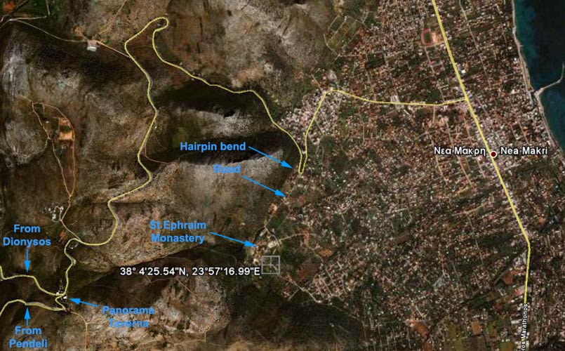
Directions to the Monastery & hash 1631 (MD)
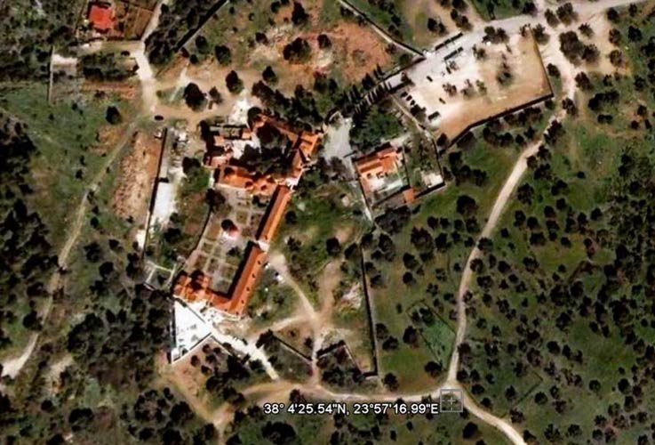
Satellite image of the monastery (showing meeting point) (MD)
(NOTE: Many sick & disabled people visit this monastery & make donations as they believe Saint Efraim will heal them)
The trail
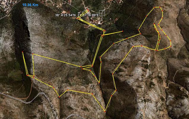
Rough trail distance measurement using Google Earth Ruler (MD)

The hare prepares the trail
- T H E R U N -
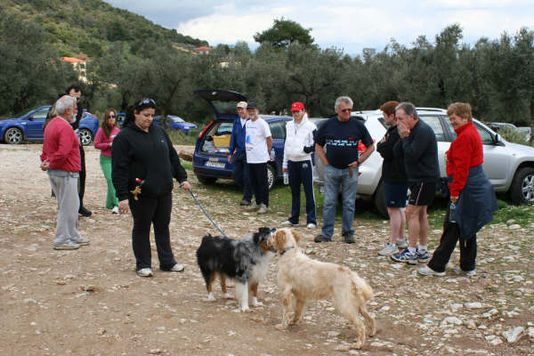
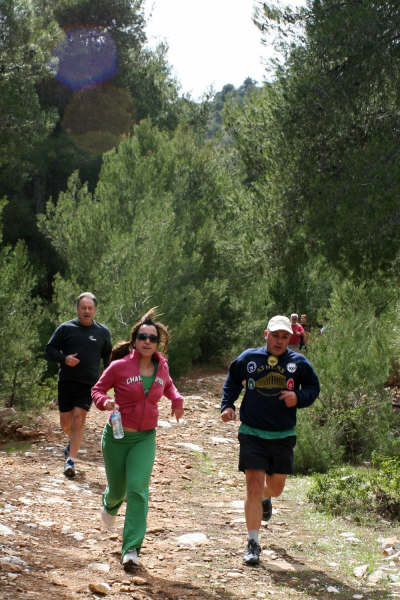
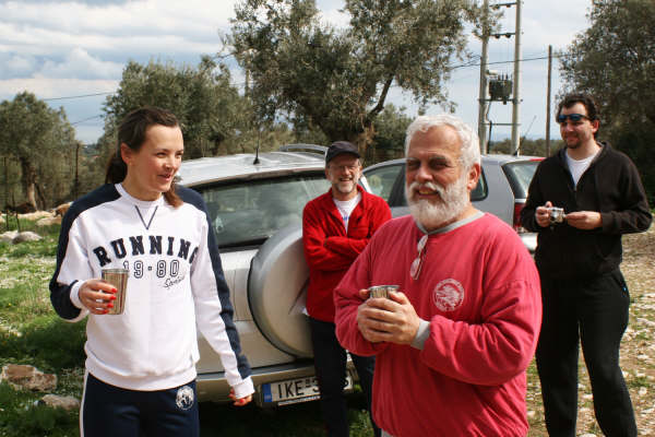
Hashers chat and dogs sniff
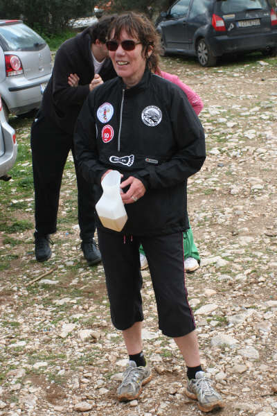
Black Mamba at the first check
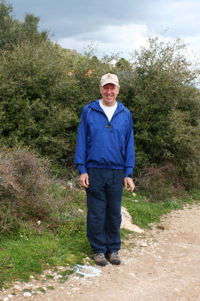
Spy Shagger strolls up the first of many hills
Rear Entry prays for a short, level and sunny run
Racing back from the first falsie
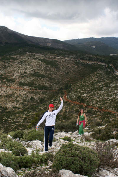
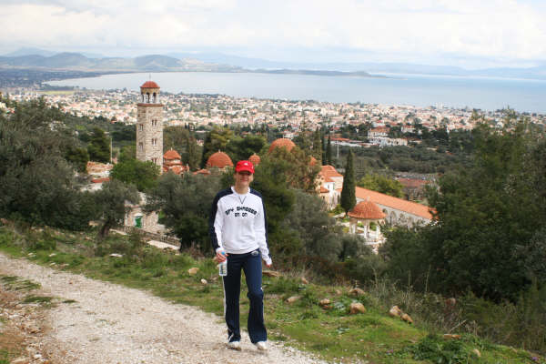
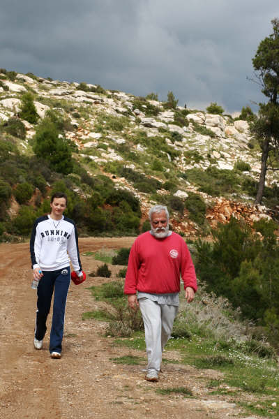
Spy Shagger and virgin hasher Heleni nearly at the summit

Hashers on the summit above St Efraim monastery
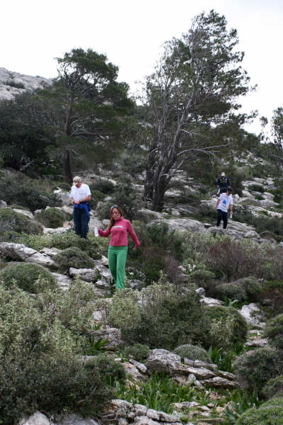
A tricky descent

A pained Black Mamba returns from a falsie

A beast of a falsie
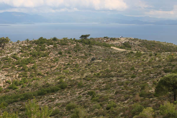
They don't know it, but these hashers are about to meet a dead end
A weary Spy Shagger and Mountain Goat head for the on in
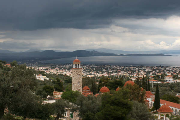
Ominous clouds loom over St Efraim Monastery
- T H E C I R C L E -
Prickly Bush the hare
Peter guilty of atrocious map reading skills
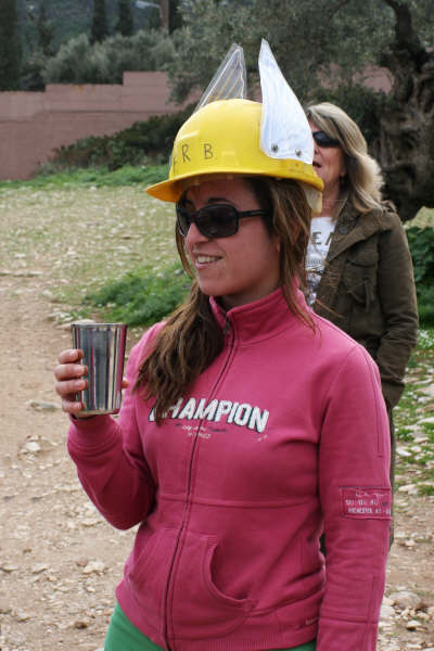
Virgin Heleni FRB
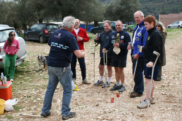
Whip It, Napoleon's Boney Part, Rear Entry, Black Mamba and CUN Gary quilty of short cutting
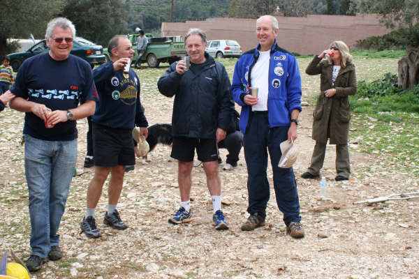
Bleeders Rear Entry, Napoleon's boney Part and Black Mamba
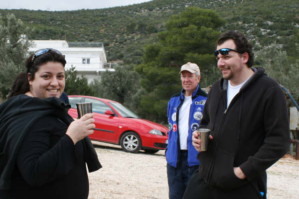
Returnees Angel and Peter
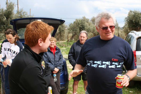
Spy Shagger and Mountain Goat share a DIO
Stand in RA Kum Kwik asks CUN Gary about next week's run
|
NOTES To
send the photo by e-mail as an attachment: MD Feb. 2006 |
Please use your "Back" Button (Top Left) to return to the previous page