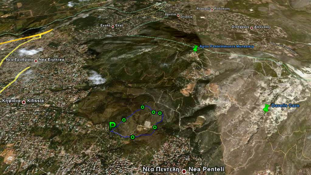
Ano Melissia
(Northern Athens)
Run 1624 (Sunday 1st February 2009)
Hare:
Mad Dog
Photographers: Mad Dog & Prickly Bush
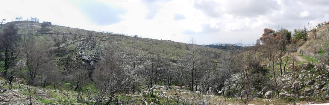
NOTE: Use the horizontal scroll bar (bottom of screen) to view the panoramic photos.
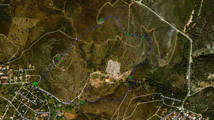
- T H E T R A I L -
The starting point
& circle (P):
Latitude 38 04' 09.70'' North
Longitude 23 50' 40.53'' East
Altitude: 405 metres above sea level
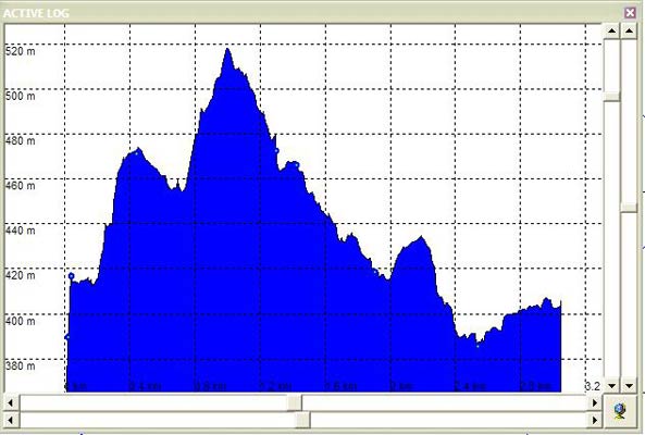
Trail cartographic Length = 3.2 km
- T H E R U N -
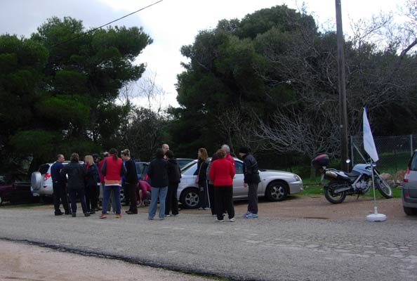
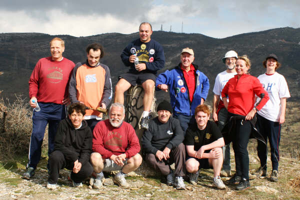
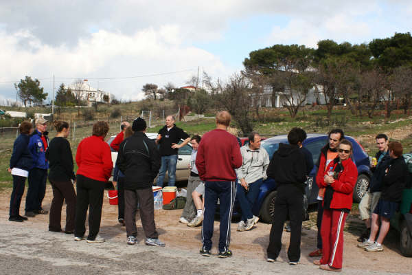
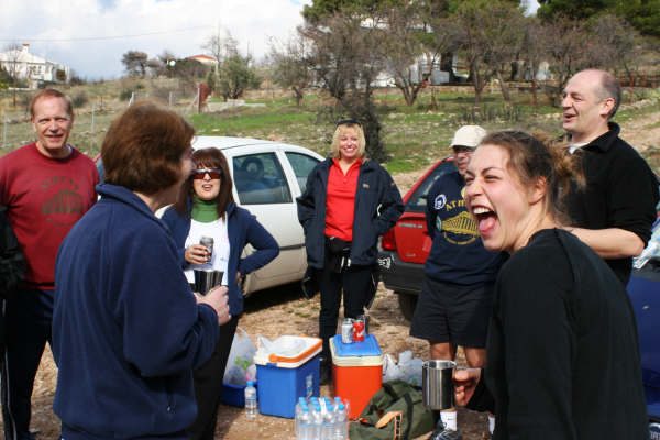
Hashers gather before the run
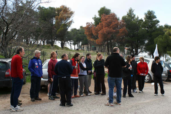
HASHERS WAITING FOR STRESS COW
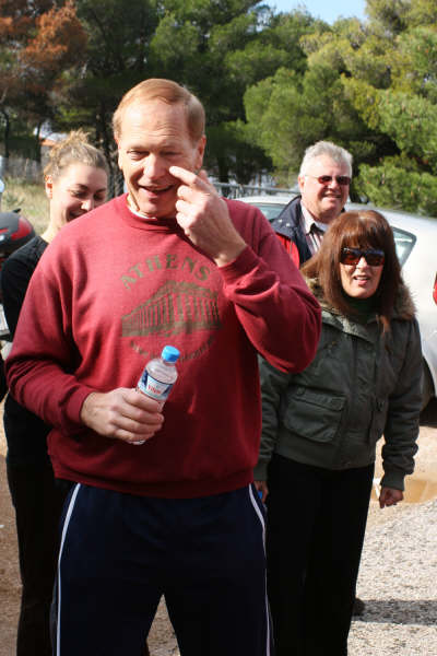
MAD DOG THE HARE LIES ABOUT THE TRAIL
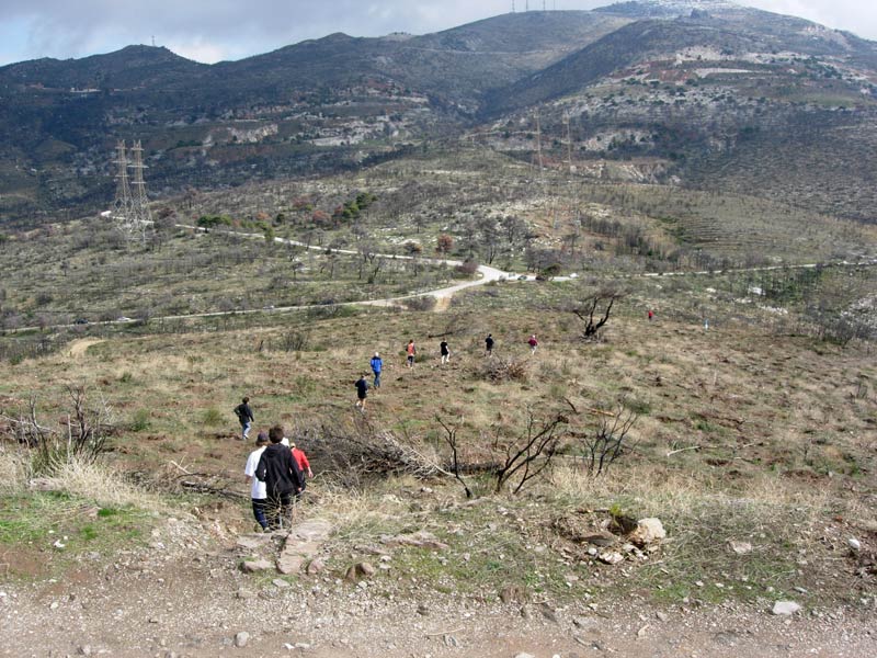
Off set the hashers on a wild goose chase

On back!
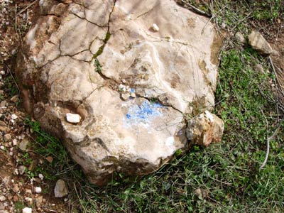
Washed-out flour
(trail laid during a rainstorm the previous day)
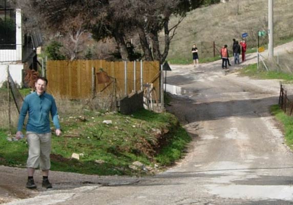
Setting off in the right direction this time
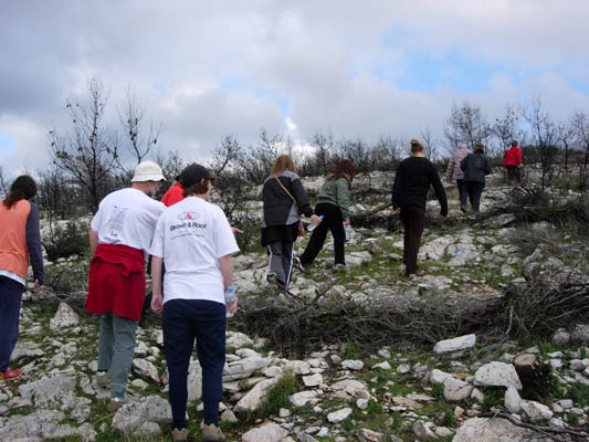
Stepping over branches - cut and laid horizontally after the last fire
to prevent the topsoil from washing away.
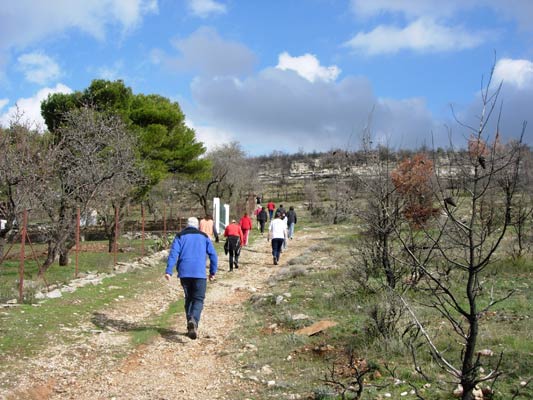
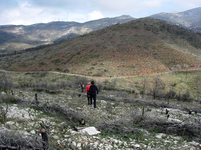
UPHILL CLIMB
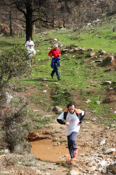
Runners and walkers meet up at the top of the first hill.
Heading on down from the first hill top
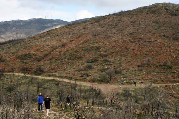
CHECKING
The check at the bottom of the first hill.
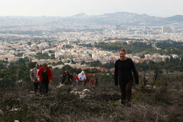
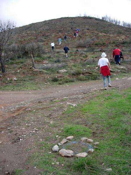
The trail continues up the second (higher) hill.
Nearly at the top. Time to take a breather.
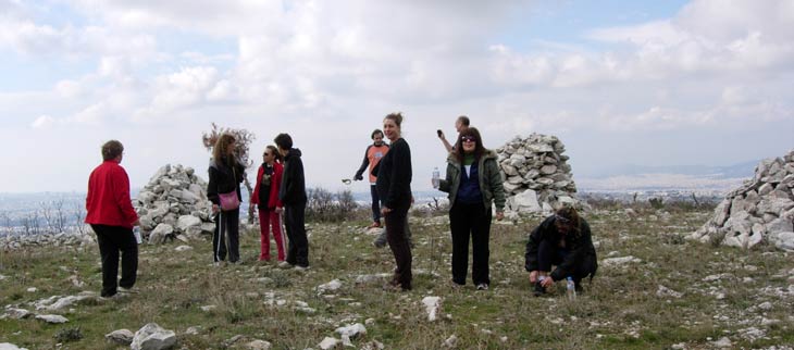
A REST AT THE TRIG POINT
Decending from the second hill

MOUNTAIN GOAT RAN THE HARE'S TRAIL TODAY!
RIM JOB LEADS THE PACK
Down into the river bed (still wet from the previous day's rainstorm runoff from upper Mount Pendeli)

On down!
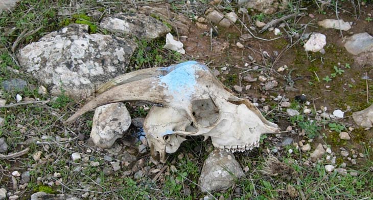
This goat didn't make it.
Handy for a trail marker, though.
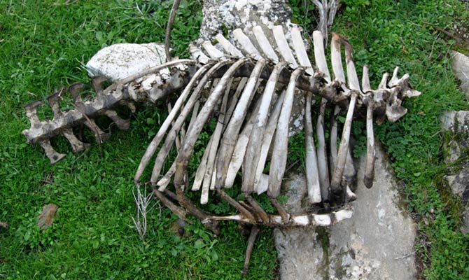
The rest of the goat...
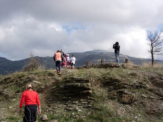
- T H E C I R C L E -
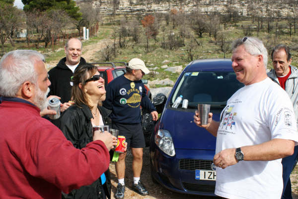
HASHERS ENJOYING THE WINTER SUNSHINE

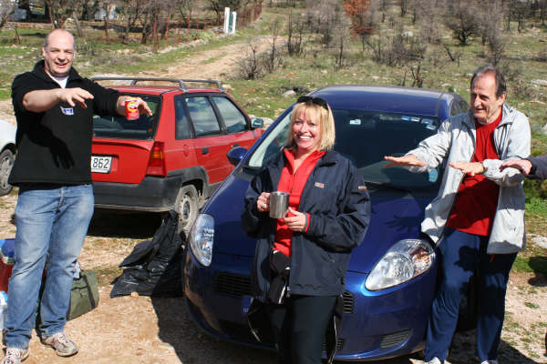
A DIO AND A SCORE OF 6.9 FOR THE HARE

NAPOLEAON'S BONEY PART RACED TO THE END
KUM KWIK AND BOUBALINA WALK THEIR OWN TRAIL
VIRGIN HASHERS DEE AND VICKY ARE WELCOMED TO THE HASH
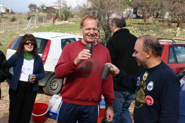
MAD DOG AND REAR ENTRY ENJOY A DIO
COKE DEALER CAUSES TROUBLE AGAIN
|
NOTES To
send the photo by e-mail as an attachment: MD Feb. 2006 |
Please use your "Back" Button (Top Left) to return to the previous page