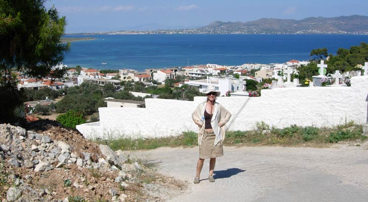
Island of Angistri
Saturday 24th May 2008
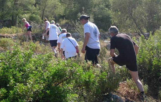
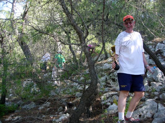
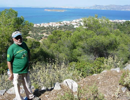
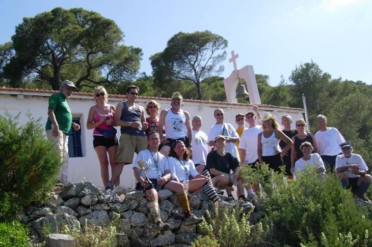
Run 1586
Hares:
Pop-Up & Aliass
Photographer: Mad Dog
NOTE:
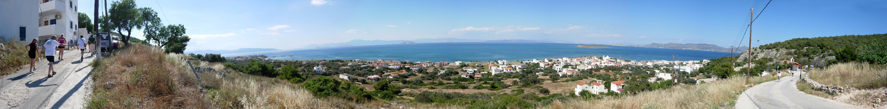
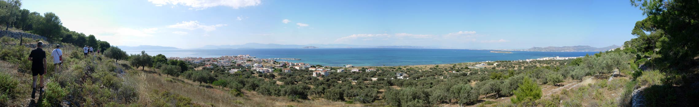
Use the horizontal scroll bar (bottom of screen) to view the panoramic photos.
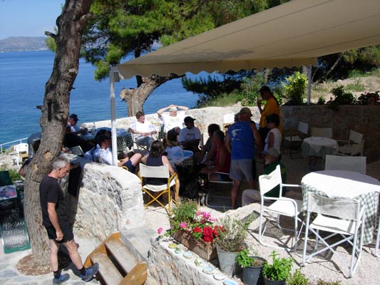
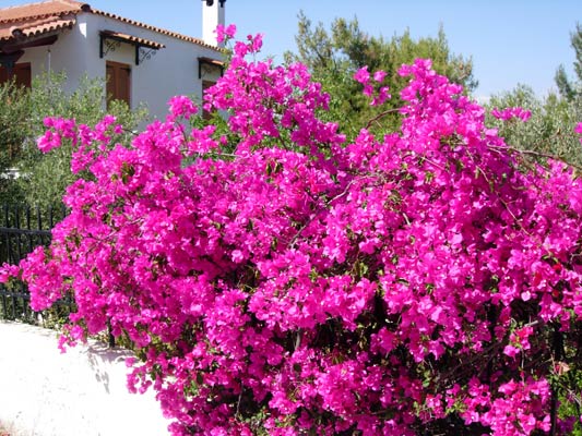
- R O S Y ' S L I T T L E V I L L A G E -
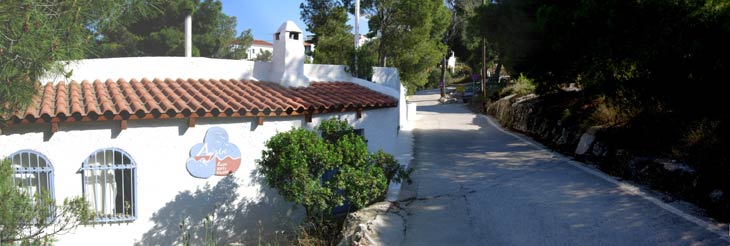
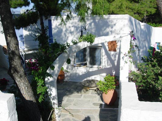
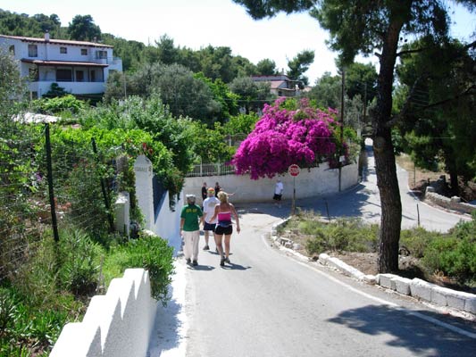
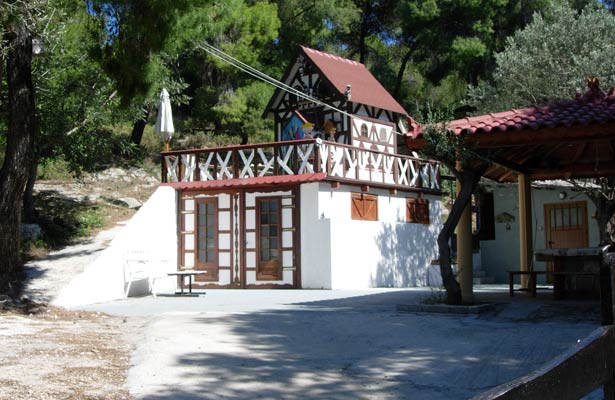
- T
H E T R A I L -
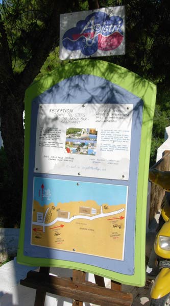
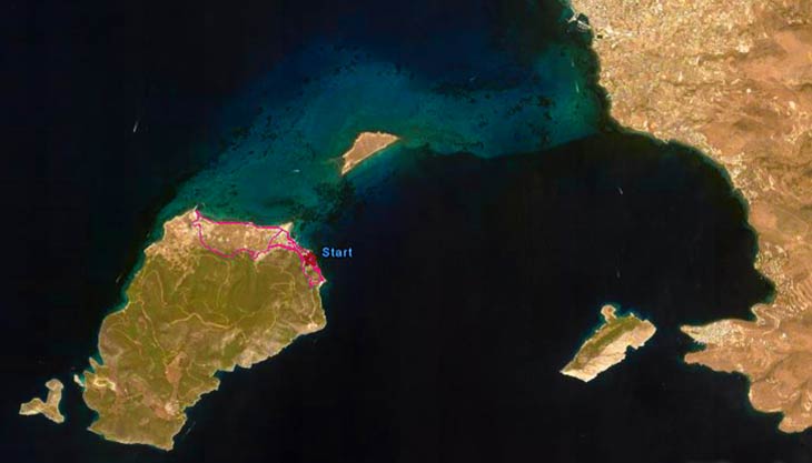
The starting point
& circle:
Latitude 37 42' 18.42'' North
Longitude 23 22' 14.67'' East
Altitude: 9 metres above sea level
Trail
cartographic Length = 6.3 km
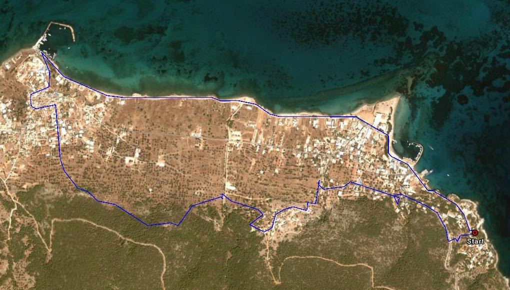
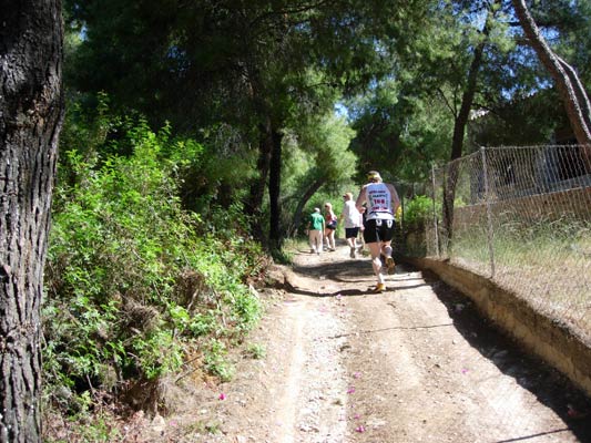
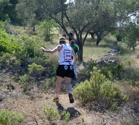
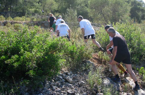
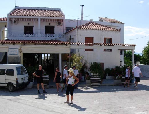
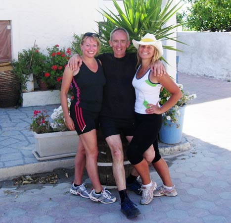
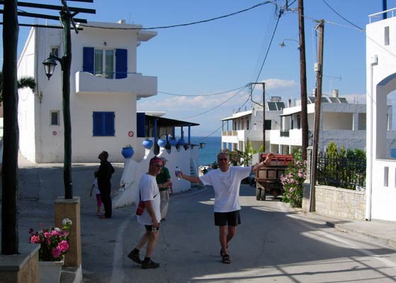
- T
H E R U N -
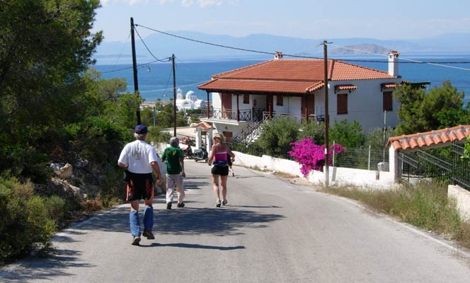
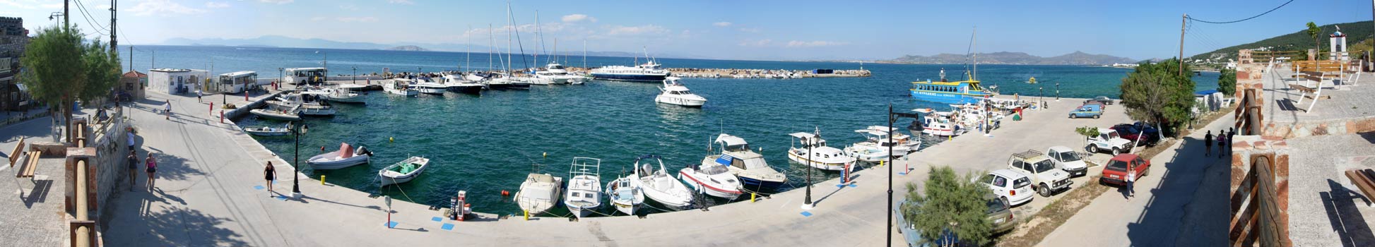
Location: 37 42' 23.28'', 23 21' 59.48''

|
NOTES
To save a photo to your disk drive:
- Internet Explorer - Netscape Navigator - Opera
-
(1) Right-click your mouse on the photo
(2) A menu appears
(3) Click on "Save Picture As" (or
"Save Image")
(4) Pull-down the "Save In" menu (click the down-arrow)
(5) Double-click on a disk drive letter (to choose a drive)
(6) Double click on a directory icon (if applicable)
(7) Type in a File name of your choice for the picture
(8) Click Save
To
send the photo by e-mail as an attachment:
- Outlook Express -
(1)
Click the "Create Mail" button to start a new e-mail
(2) Click Insert > File Attachment
(3) Pull-down the "Look In" menu (click the down arrow)
(4) Double-click on a disk drive letter (to choose the drive)
(5) Double click on a directory icon (if applicable)
(6) Click on the photo file name to highlight it
(7) Click "Attach" to attach the photo to the e-mail
MD
Feb. 2006 |
Return
to Top
Please
use your "Back" Button (Top Left) to return to the previous page