Thorikos
(South-East of Athens)
Run 1574 (Sunday 2nd March 2008)
Hare: Prickly Bush & Black Mamba
Photographer:

NOTE: Use the horizontal scroll bar (bottom of screen) to view the panoramic photos.
- T
H E T R A I L -
The starting point
& circle:
Latitude 37 44' 18.45'' North
Longitude 24 03' 35.26'' East
Altitude: 3 metres above sea level
Initial air temperature (11.00 hrs) = 20 deg.C
Trail cartographic Length = 6.3 km
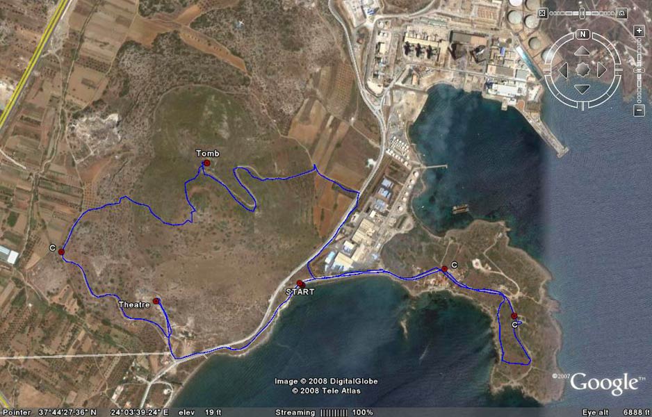
GPS record of the trail (with a little shortcutting). Note the Power Station at the top of the image.
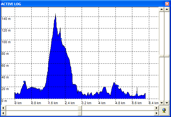
Elevation profile of the run
- T H E R U N -
Panoramic view from the parking and hashers circle area
Mountain Goat warming-up before the run
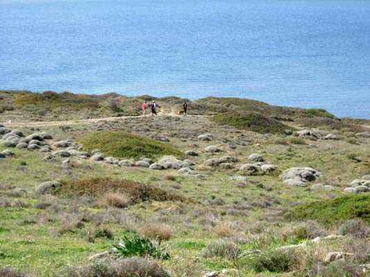
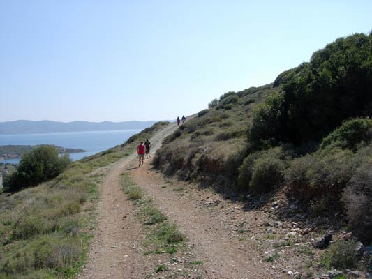
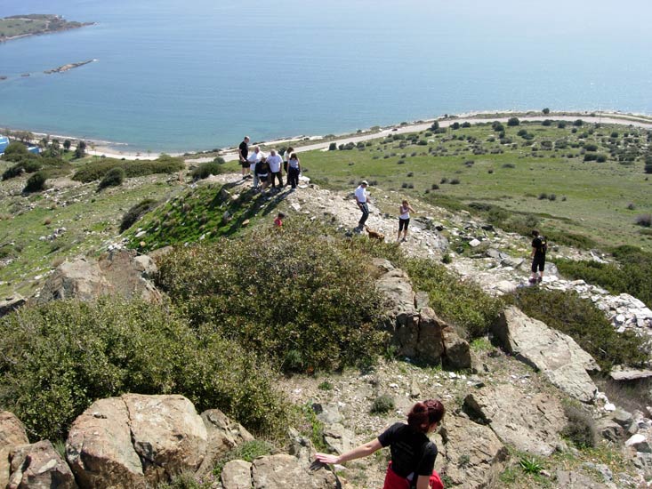
 Panoramic view from near the end of the peninsula
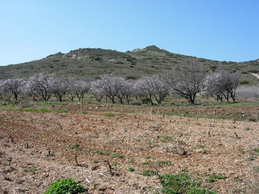
Almond trees - the first trees to bloom
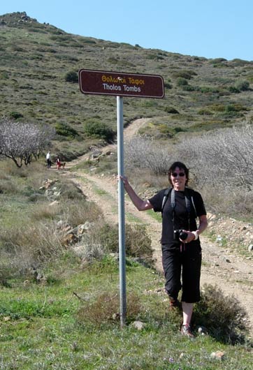
Prickly Bush the hare
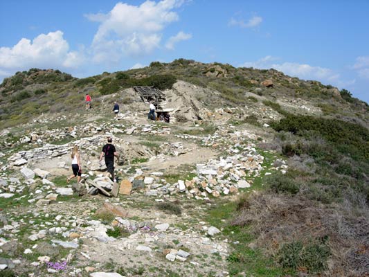
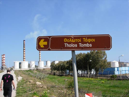
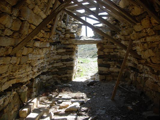
Some hashers exiting the tomb
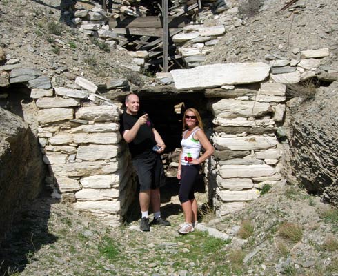
Fair Cop & Absolut at the entrance of one of the tombs
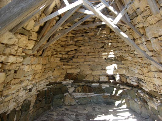
Inside the ancient Mycenean tomb
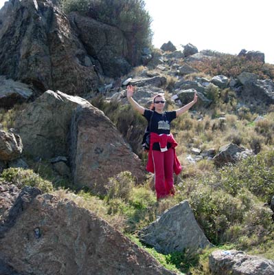
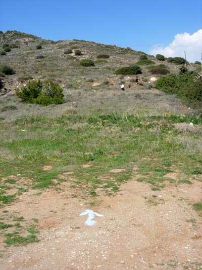
Stress Cow almost at the top
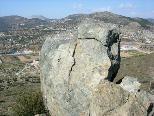
Southerly view from the top of the hill
Looking to the West from the hilltop
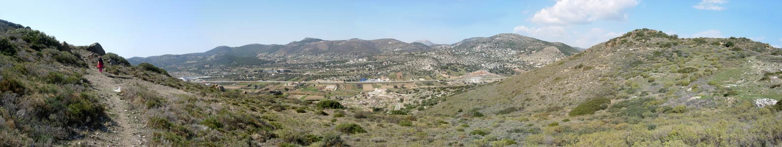
Panoramic view from the hillside looking Westwards
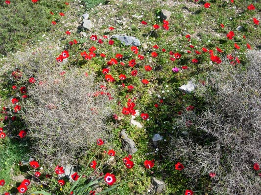
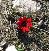
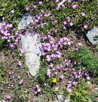
The flowers that bloom in the Spring, tra la!
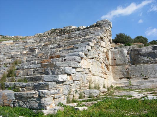
One end of the Ancient Theatre of Thorikos
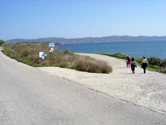
The road leading down to the car-parking & hashers circle area
|
NOTES To
send the photo by e-mail as an attachment: MD Feb. 2006 |
Please use your "Back" Button (Top Left) to return to the previous page