Run 1556 (Sunday 28th October 2007)
Hare:
Rear
Entry & Spy Shagger
Photographer:
Mad Dog
NOTE: Use the horizontal scroll bar (bottom of screen) to view the panoramic photos.
- T
H E T R A I L -
The starting point
& circle:
Latitude 38 07' 24.03'' North Longitude
23 39' 20.37'' East
Altitude: 334 metres above sea level
Trail cartographic Length = 3.25 km
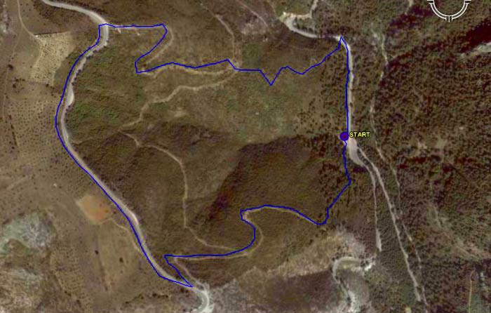
GPS track of the trail
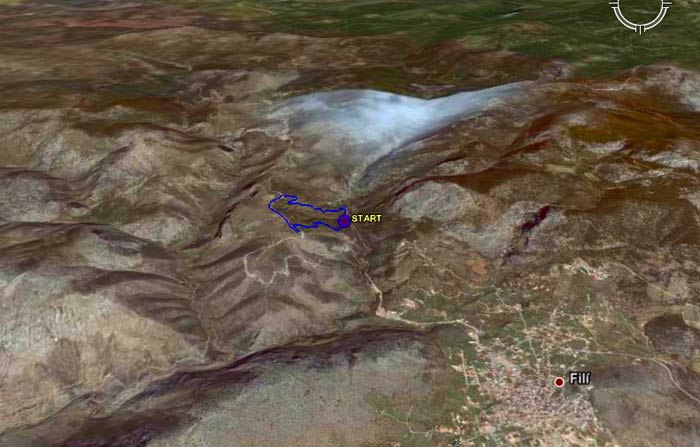
3D view of the trail in the mountains (note village of Fili)
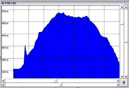
Altitude profile of the trail
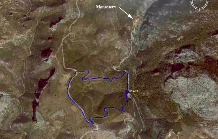
View showing the Monastery visited by the walkers
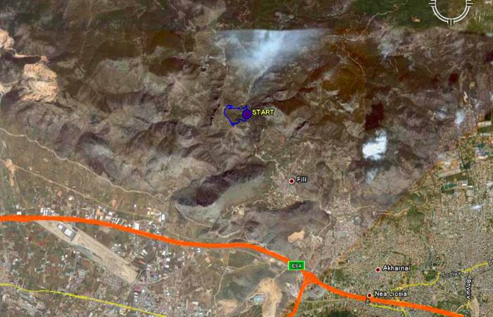
Attiki Odos (shown in orange) access to the village of Fili & the run
- T H E R U N -
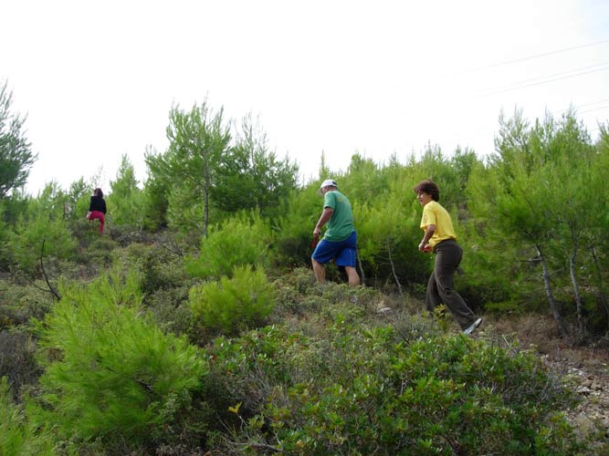
On and Up
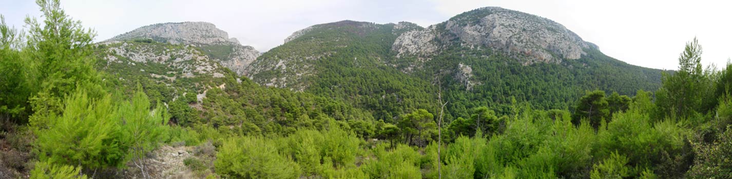
Panoramic view of the mountains
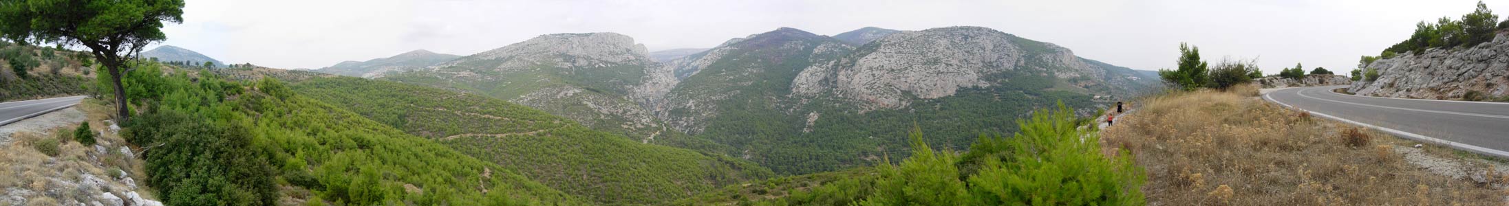
Another panoramic view of the mountains from the upper road (note hashers on the right)
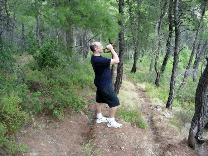
On the way down - Fair Cop sounds the hash horn
|
NOTES To
send the photo by e-mail as an attachment: MD Feb. 2006 |