Asine
(Near Tolo, Peloponnese)
(Sunday 30th September 2007)
FULL MOON HASH
Hares:
Napoleon's Bony Part & Air Head
Photographer:
Mad Dog
Bottom Return
To Photo Menu (<=
Back may be faster)
NOTE: Use the horizontal scroll bar (bottom of screen) to view the panoramic photos.
- THE SITE OF ANCIENT ASINE -
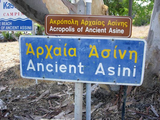
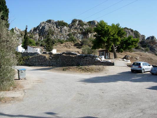
The entrance to the site (the pay booth can be seen under the tree)
The
hashers trail came up from the unfenced back of the site and
exited past the pay booth (so no charge)
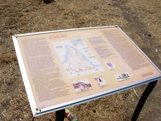
The layout and explanation of the site
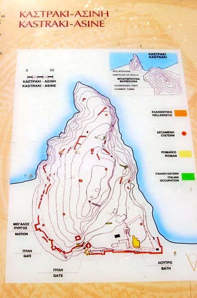
The plan of the site
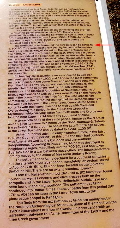
Explanatory text
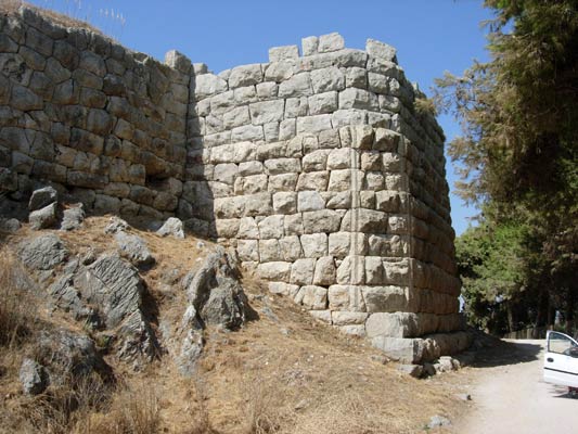
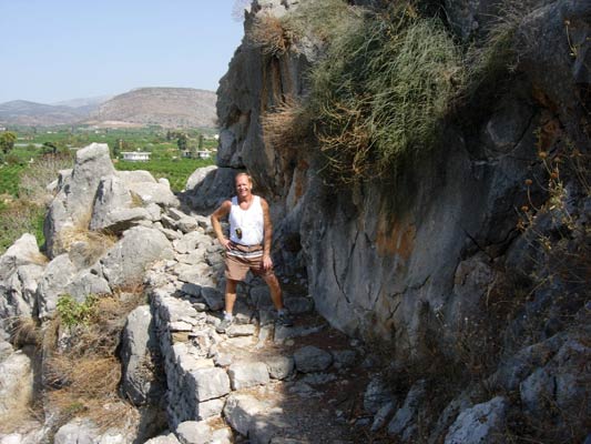
Amazing fortification wall
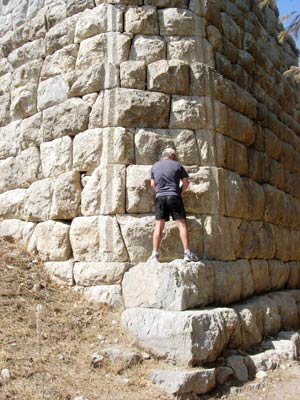
Hasher examining the stone blocks
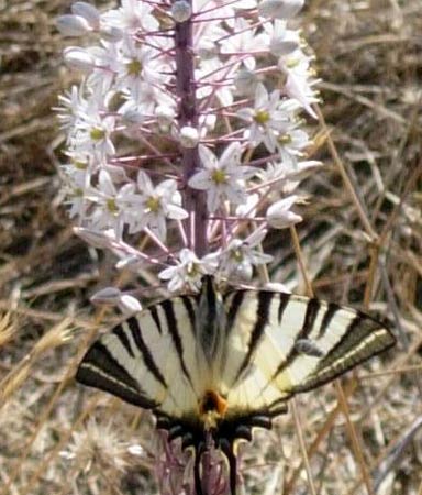
Flora & fauna on the hillside
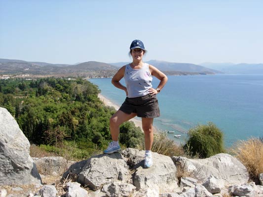
View
from top of the site
( Lat: 37 31' 39.06'' North, Lon: 22 52' 28.67'' East )
The hash circle & swimming location
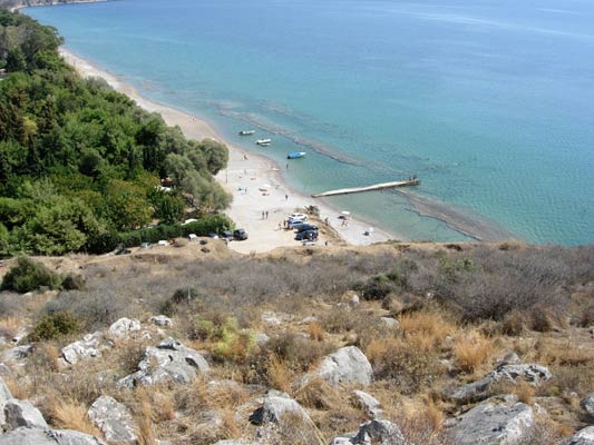
View from top of the site - down the other side

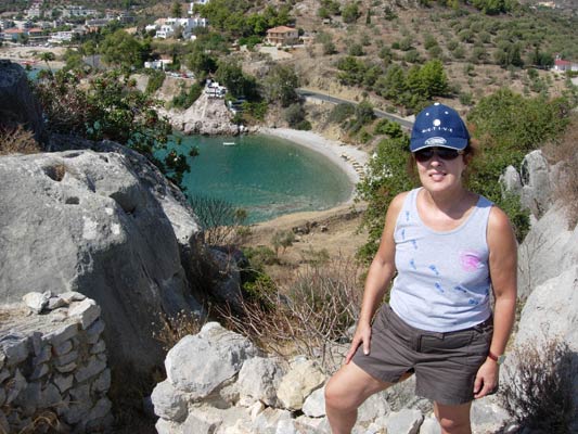
Wonderful
360 degree panoramic view from the top of the site
>>>>> SCROLL >>>>
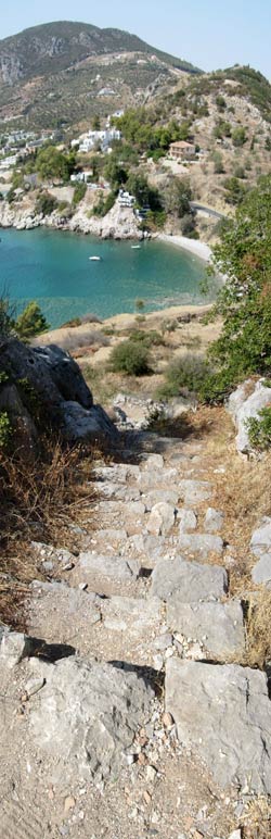
Ancient stairway
Ancient walkway & stairway
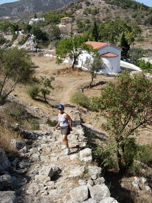
Ramp
leading down to ground level.
Note the little church - where a wedding was held the previous evening
- T H E T R A I L -
The starting point
& circle:
Latitude 37 31' 38.42'' North
Longitude 22 52' 31.56'' East
Altitude: 1.5 metres above sea level
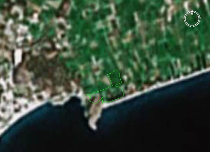
Mad
Dog's latecomer trail (as shown above) with a cartographic length = 1.5
km
The trail shown goes up & over Ancient Asine but is not the full trail
the hasher's ran.
- T H E R U N -
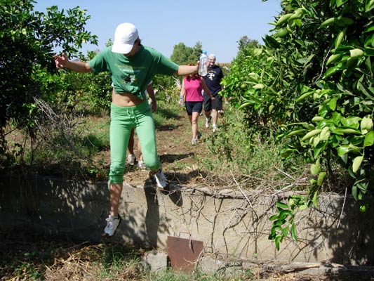
Spy Shagger jumps down from a wall in the orange groves
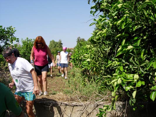
Next come Cook The Fook & Last Tango
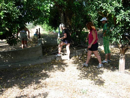
Is this the way?
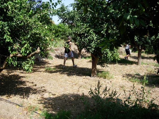
They've found the trail and off they go
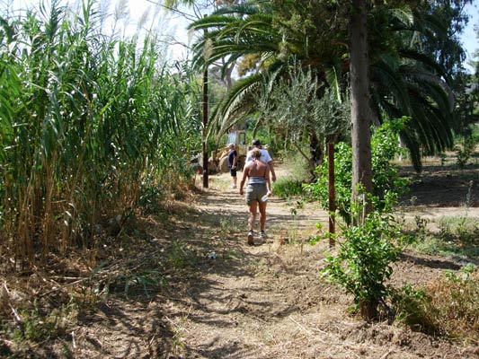
Along a path flanked by bamboos and palm trees
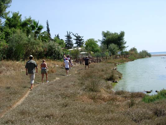
Heading down to the beach past a pool of green water
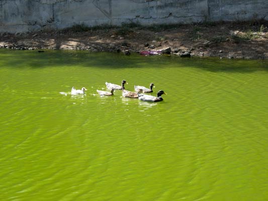
Yuk! But the ducks don't seem to mind.
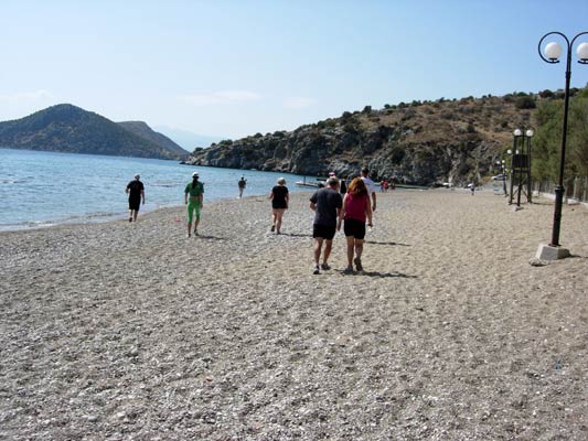
On-In along the beach
|
NOTES To
send the photo by e-mail as an attachment: MD Feb. 2006 |