Varibobi
(North-West of Athens)
Run 1535 (Monday 04th June 2007)
Hare:
Up
The Bumper
Photographer:
Mad Dog
Total
photos & images: 9
Total filesize: 447
Kilobytes
Minimum 2.1 mins download time at 28.8 Kilobits/sec
Bottom Return
To Photo Menu (<=
Back may be faster)
NOTE: Use the horizontal scroll bar (bottom of screen) to view the panoramic photos.
Starting point &
location of the hasher's circle:
Latitiude 38 07' 38.05'' North
Longitude 23 47' 40.62'' East
Altitude: 276 metres above sea level

Cartographic Length of trail = 8.2 km
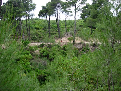
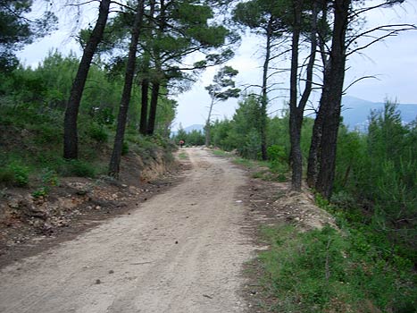

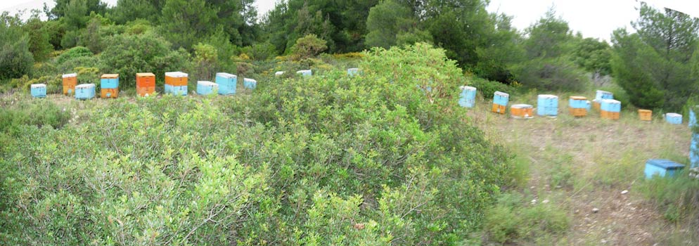
Lots of this!
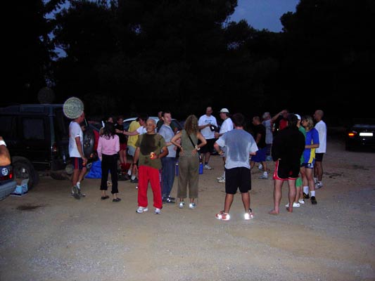

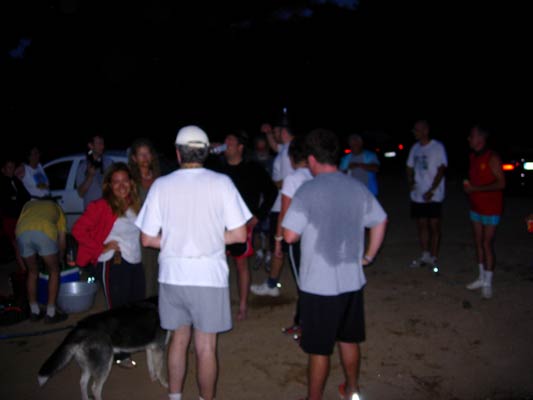
|
NOTES To
send the photo by e-mail as an attachment: MD Feb. 2006 |