Varibobi
(North-West of Athens)
Run 1538 (Monday 25th June 2007)
Hare:
Mountain
Goat
Photographer:
Prickly Bush (+ bits from Mad Dog)
Total
photos & images: 23
Total filesize: 933
Kilobytes
Minimum 4.4 mins download time at 28.8 Kilobits/sec
Bottom Return
To Photo Menu (<=
Back may be faster)
NOTE: Use the horizontal scroll bar (bottom of screen) to view the panoramic photos.
Firstly, some nerd stuff for us sad bastards who like figures as well as figures.......
The
starting point & circle:
Latitiude 38 09' 20.18'' North
Longitude 23 47' 30.42''East
Altitude: 445 metres above sea level
(thin air?)
Initial
air temperature (19.00 hrs) = 33 deg.C
(a bit hot)
Trail
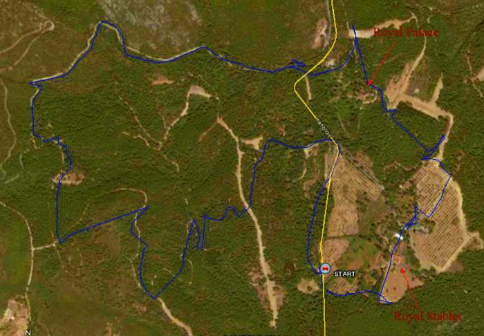
cartographic Length = 9.2 km
(a bit long)
View
of trail from 2.4 Km up. The road is shown in yellow.
(In places some of the GPS satellite signals were weak or missing
due to shadowing from the trees in the forest - causing the track to drift)
(Oh
yea? looks like someone had a few beers before the run?)

View
of trail from 7.5 Km up - showing the road and the huge forested area
(Wow!
that's a lot of trees)
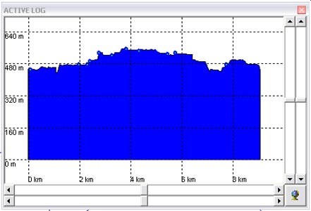
Altitude
profile
(Bit
like a roller coaster)
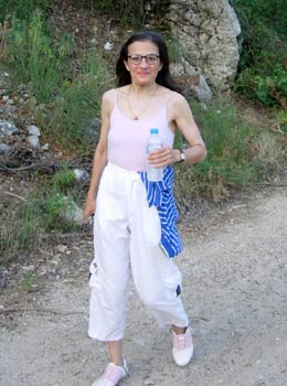
Strawberry4skin

Sheila
%20feeding%20on%20an%20onopordum%20tauricum.jpg)
Iphiclides podalirius (scarce swallowtail) feeding on an onopordum tauricum
The hare Mountain Goat points out the trail
- T H E R U N -
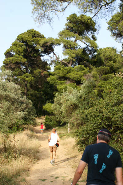
Beautiful forest path
Alice
Playtime while others check
.jpg)
Scolymus hispanicus (Spanish oyster plant)
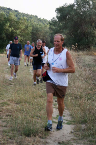
Mad Dog leads the way
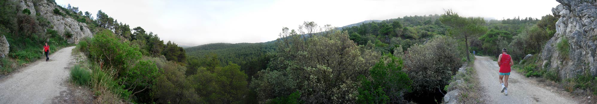
Panoramic
view
(STARRING Left: Prickly Bush, Right: Cook The Fook)
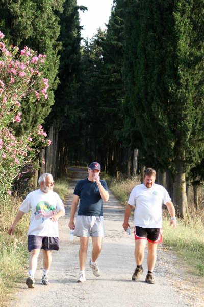
A stroll in the park
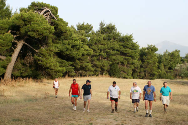
Fiery Twat calls the on on. The pack follows reluctantly
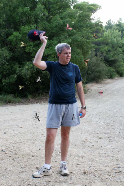
Frenzied flies try to bite Bud Wanker
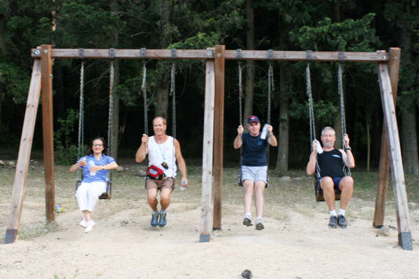
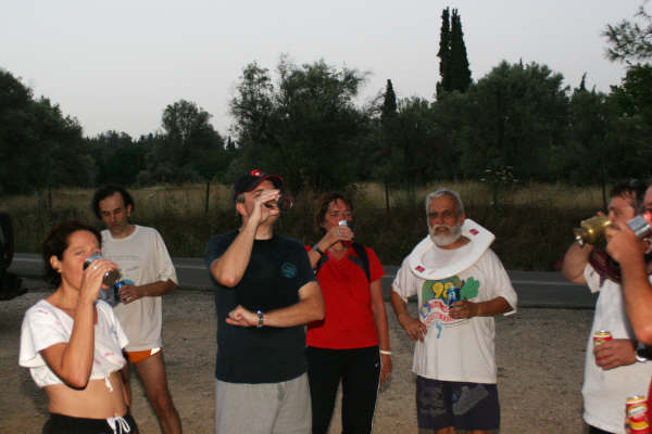
- T H E C I R C L E -

Mountain Goat the Hare

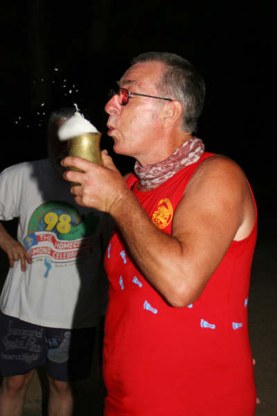
All Day Sucker watches Mountain Goat down the hare's brew
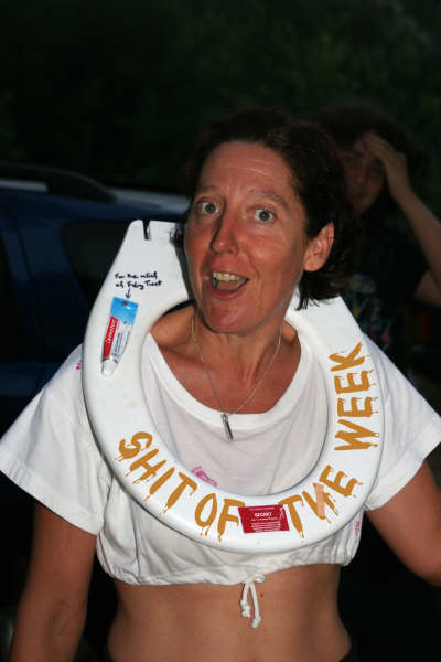
Fiery Twat, shit of the week AGAIN
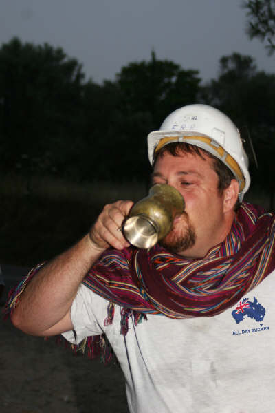
All Day Sucker receives the FRB helmet
A DIO for hashers missing the on in

Bud Wanker's vigin hashing Mother, Father and niece
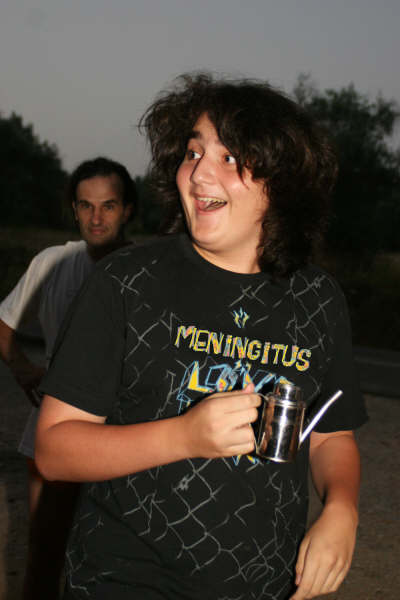
Meningitus
Shoot the beer bitch. Too much froth for Cook the Fook
|
NOTES To
send the photo by e-mail as an attachment: MD Feb. 2006 |